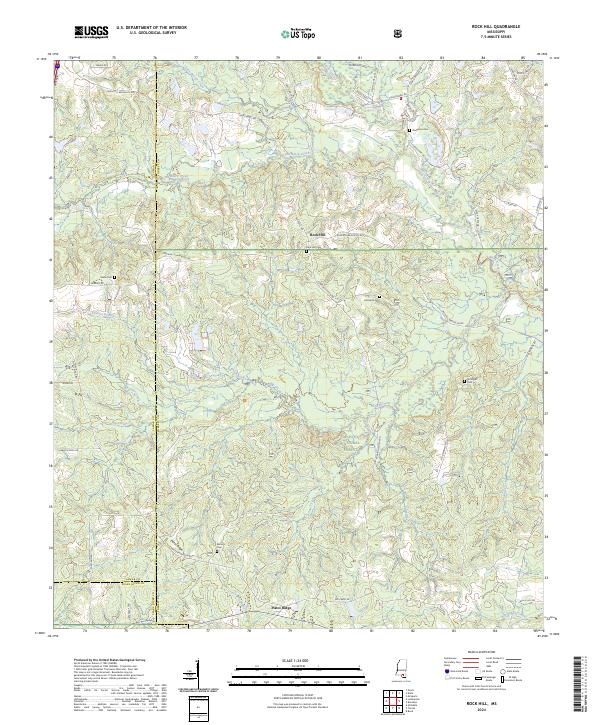
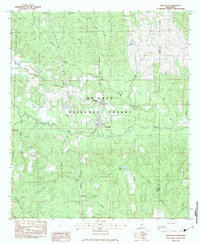
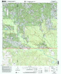
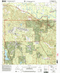
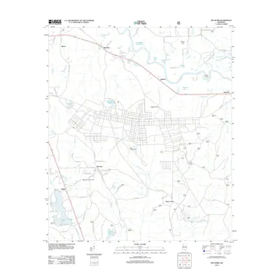
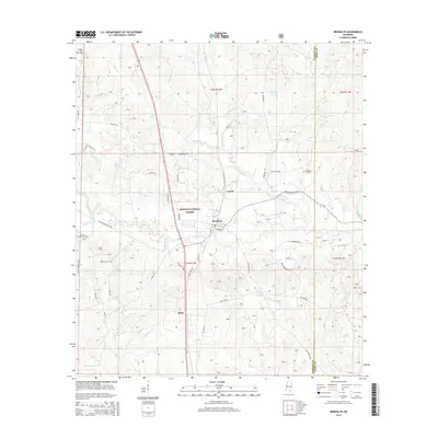
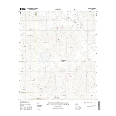
2024 Map of Rock Hill
USGS Topo · Published 2024About this map
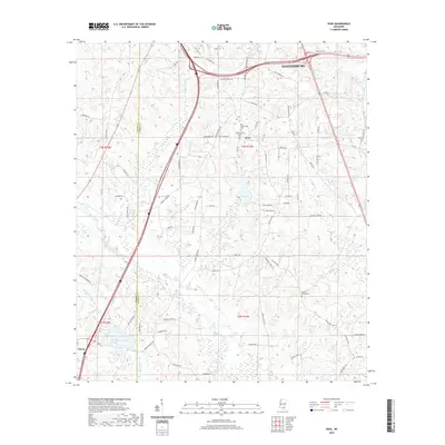
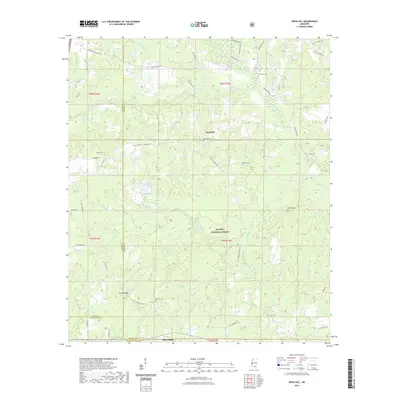
Rock Hill lies at the heart of this landscape, situated near the intersection of several rural routes including Rockhill Rd and Rockhill Brooklyn Rd. Much of the southern and eastern portions of the map are defined by the De Soto National Forest, where the terrain transitions into the distinct geographic feature of Pistol Ridge. The area is heavily marked by its hydrology, with Black Creek and Little Black Creek winding through the northern sections, while Double Branch and Beaverdam Creek drain the southern reaches near the border of Pearl River Co.
Find a feature on this map
57 named features on this map. Tap any name to fly to it.
Don’t see what you’re looking for? This feature index may not catch every label — zoom into the map to look around manually.
Map Details
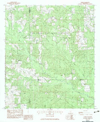
Editions of this 2024 Rock Hill Map
This is the sole edition of this map. No revisions or reprints were ever made.
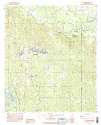
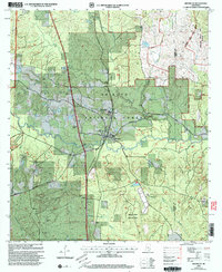
Historical Maps of Rock Hill Through Time
39 maps found
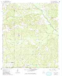
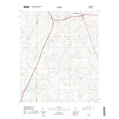
1963 Rock Hill
Forrest County, MS
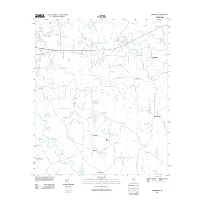
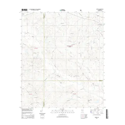
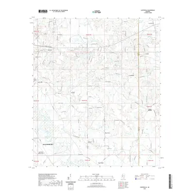
1964 Carterville
Forrest County, MS
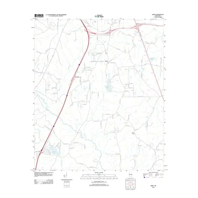
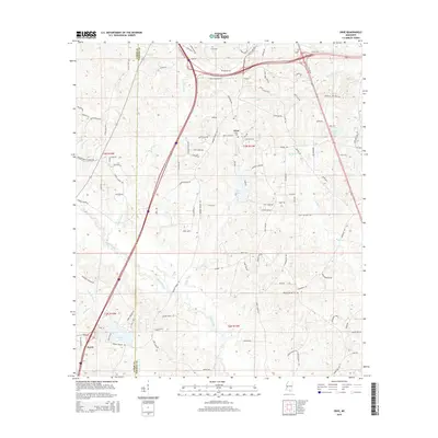
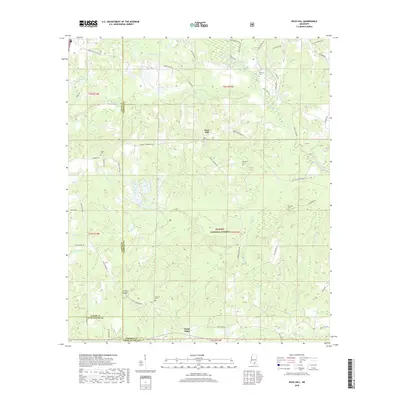
1965 Dixie
Forrest County, MS
1983 Brooklyn
Forrest County, MS
1983 Carnes
Forrest County, MS
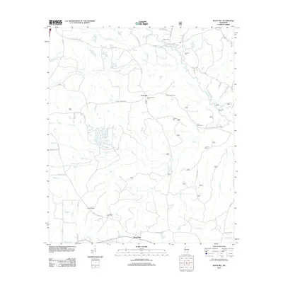
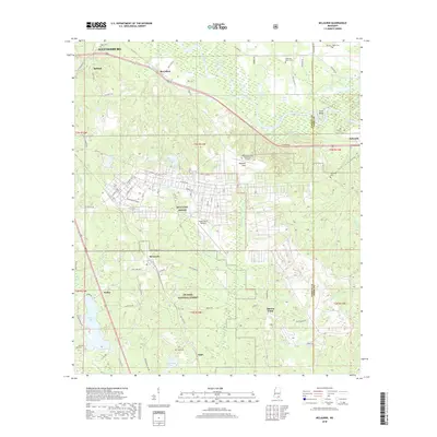
1983 McLaurin
Forrest County, MS
2000 Brooklyn
Forrest County, MS
2000 Carnes
Forrest County, MS
2000 McLaurin
Forrest County, MS
2012 Brooklyn
Forrest County, MS
2012 Carnes
Forrest County, MS
2012 Carterville
Forrest County, MS
2012 Dixie
Forrest County, MS
2012 McLaurin
Forrest County, MS
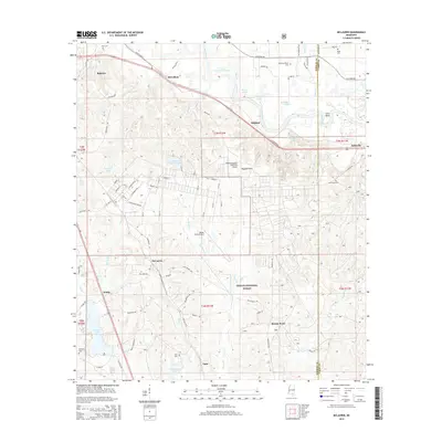
2012 Rock Hill
Forrest County, MS
2015 Brooklyn
Forrest County, MS
2015 Carnes
Forrest County, MS

2015 Carterville
Forrest County, MS
2015 Dixie
Forrest County, MS
2015 McLaurin
Forrest County, MS
2015 Rock Hill
Forrest County, MS
2018 Brooklyn
Forrest County, MS
2018 Carnes
Forrest County, MS
2018 Carterville
Forrest County, MS
2018 Dixie
Forrest County, MS
2018 McLaurin
Forrest County, MS
2018 Rock Hill
Forrest County, MS
2020 Carterville
Forrest County, MS
2020 Dixie
Forrest County, MS
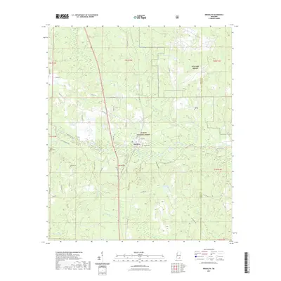
2021 Brooklyn
Forrest County, MS
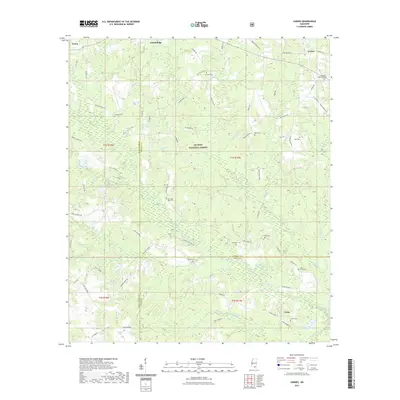
2021 Carnes
Forrest County, MS
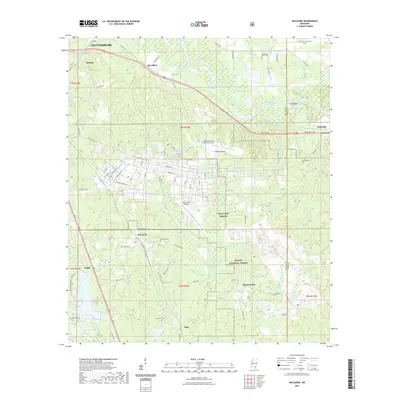
2021 McLaurin
Forrest County, MS
2021 Rock Hill
Forrest County, MS
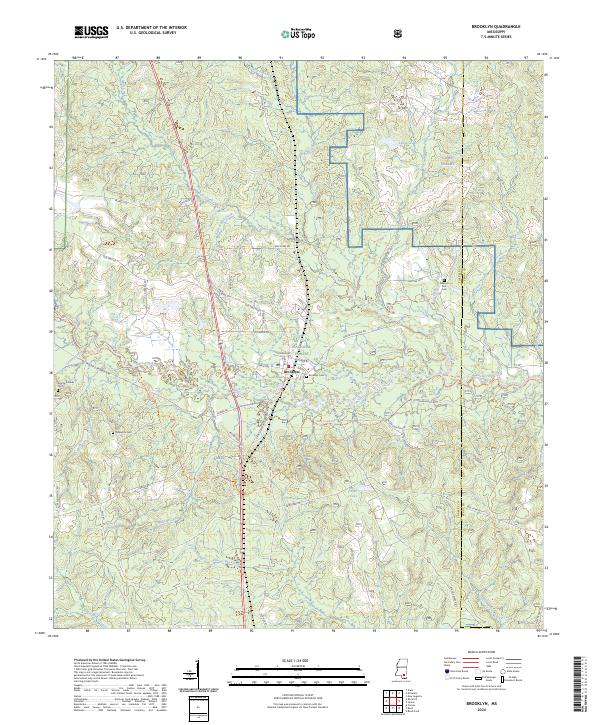
2024 Brooklyn
Forrest County, MS
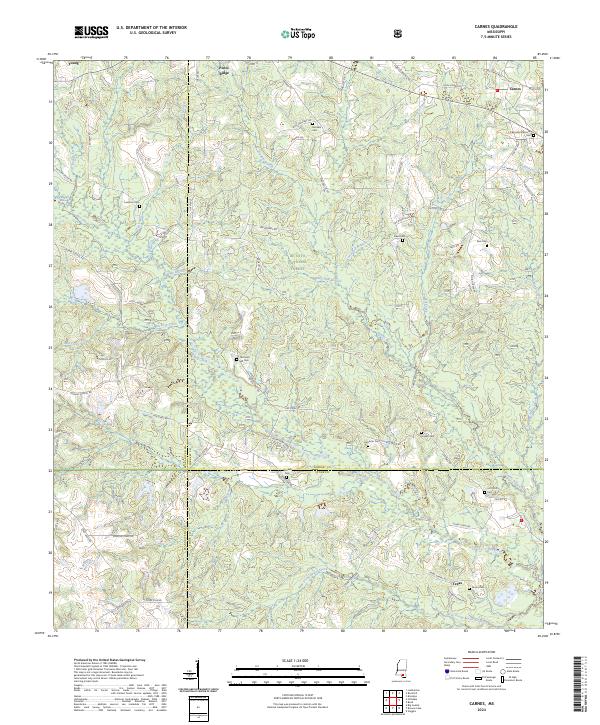
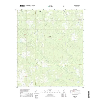
2024 Carnes
Forrest County, MS
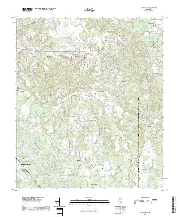
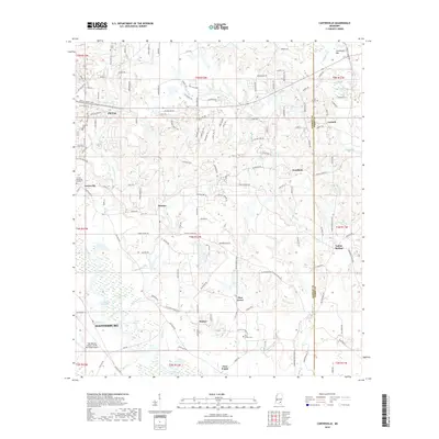
2024 Carterville
Forrest County, MS
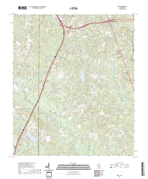
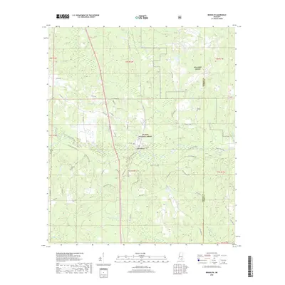
2024 Dixie
Forrest County, MS
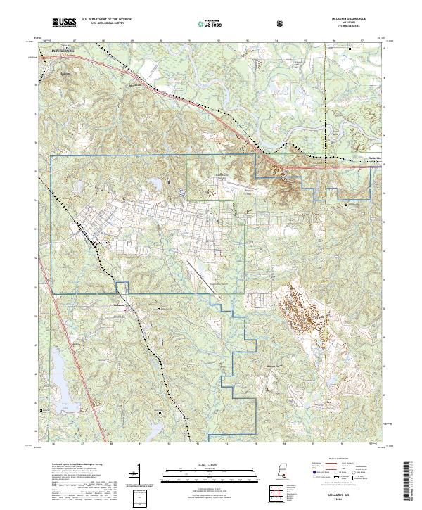
2024 McLaurin
Forrest County, MS
2024 Rock Hill
Forrest County, MS