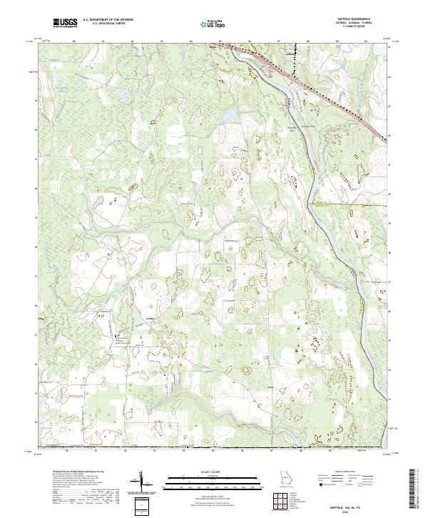
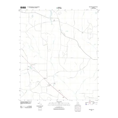
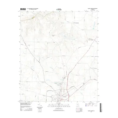
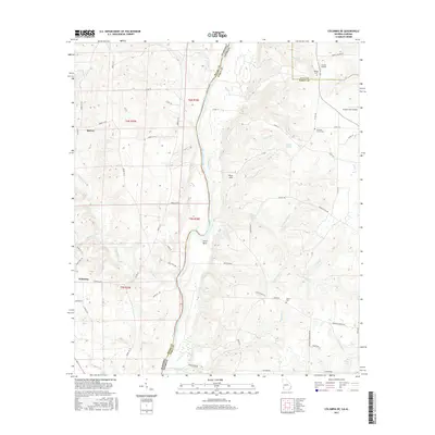
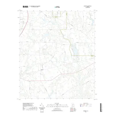
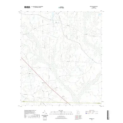
2024 Map of Saffold
USGS Topo · Published 2024About this map
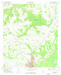
The Chattahoochee River defines the landscape of this tri-state border region, where Alabama and Georgia meet at the Florida line. Small agricultural settlements like Alaga, Saffold, and Lucy are linked by a network of rural roads such as Lucy Grade Rd and S State Hwy 95. The terrain is characterized by low-lying wetlands including The Turnpike Swamp and various drainage systems like Irwin Mill Creek and Cypress Creek.
Find a feature on this map
69 named features on this map. Tap any name to fly to it.
Don’t see what you’re looking for? This feature index may not catch every label — zoom into the map to look around manually.
Map Details
Editions of this 2024 Saffold Map
This is the sole edition of this map. No revisions or reprints were ever made.
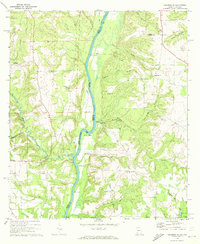
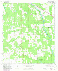
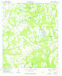
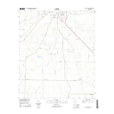
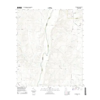
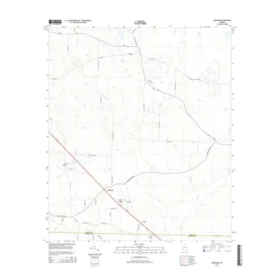
Historical Maps of Crosby Through Time
42 maps found
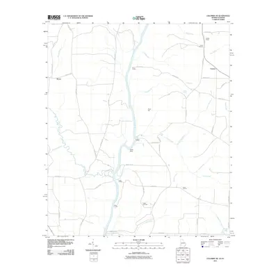
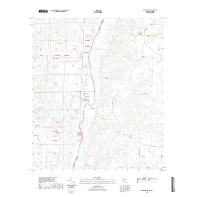
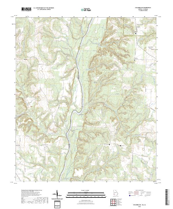
1970 Columbia NE
Early County, GA
1970 Saffold
Early County, GA
1973 Bancroft
Early County, GA
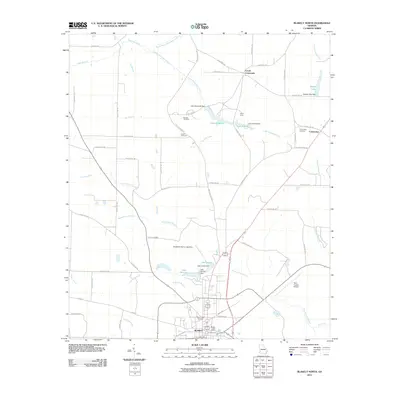
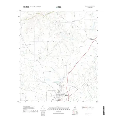
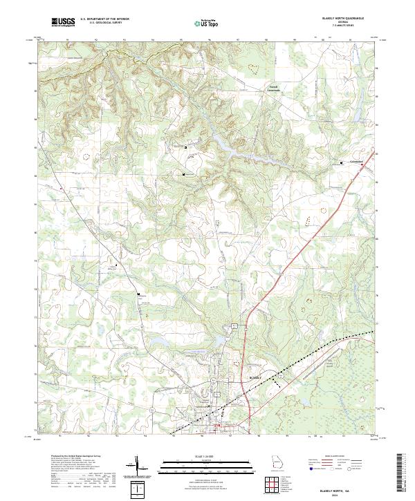
1973 Blakely North
Early County, GA
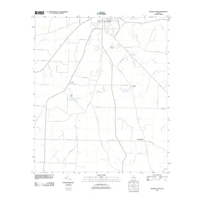
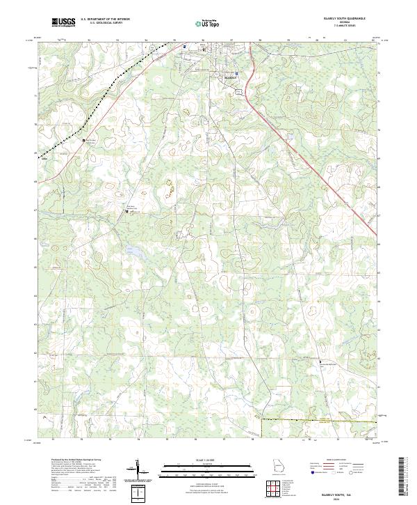
1973 Blakely South
Early County, GA
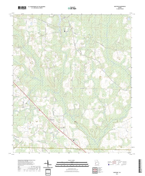
1973 Hentown
Early County, GA
1974 Lucile
Early County, GA
2011 Bancroft
Early County, GA
2011 Blakely North
Early County, GA
2011 Blakely South
Early County, GA
2011 Columbia NE
Early County, GA
2011 Hentown
Early County, GA
2011 Lucile
Early County, GA
2011 Saffold
Early County, GA
2014 Bancroft
Early County, GA
2014 Blakely North
Early County, GA
2014 Blakely South
Early County, GA
2014 Columbia NE
Early County, GA
2014 Hentown
Early County, GA
2014 Lucile
Early County, GA
2014 Saffold
Early County, GA
2017 Bancroft
Early County, GA

2017 Blakely North
Early County, GA
2017 Blakely South
Early County, GA
2017 Columbia NE
Early County, GA
2017 Hentown
Early County, GA
2017 Lucile
Early County, GA
2017 Saffold
Early County, GA
2020 Bancroft
Early County, GA
2020 Blakely North
Early County, GA
2020 Blakely South
Early County, GA
2020 Columbia NE
Early County, GA
2020 Hentown
Early County, GA
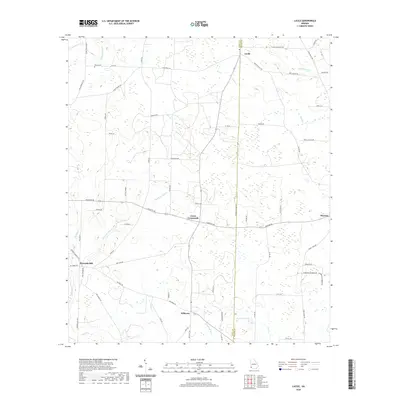
2020 Lucile
Early County, GA
2020 Saffold
Early County, GA
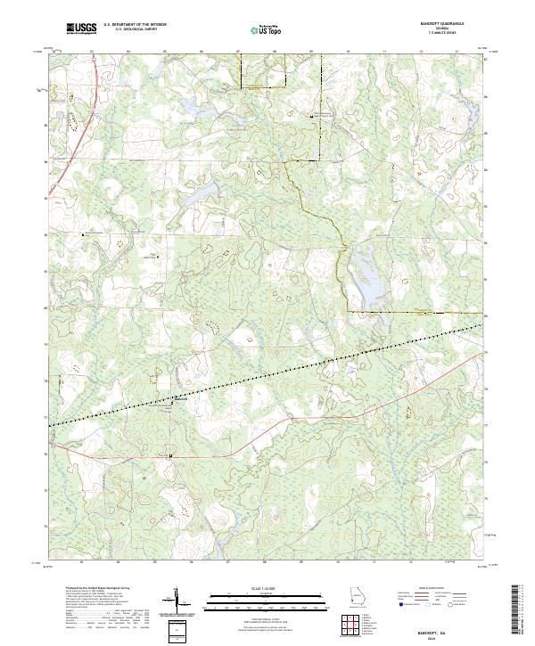
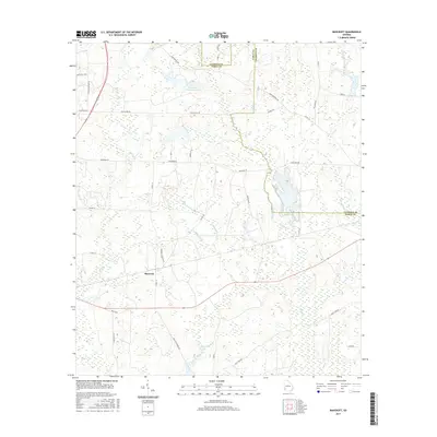
2024 Bancroft
Early County, GA
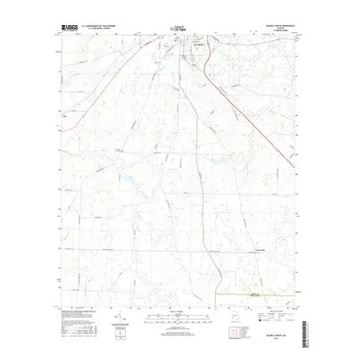
2024 Blakely North
Early County, GA
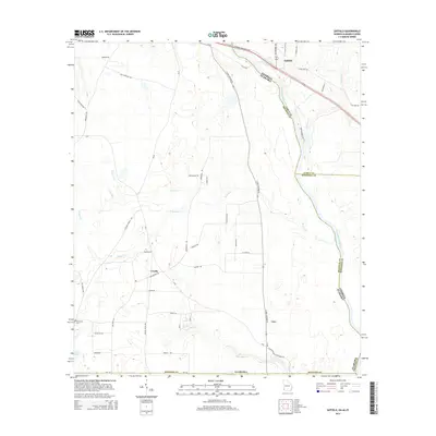
2024 Blakely South
Early County, GA
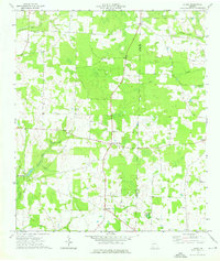
2024 Columbia NE
Early County, GA
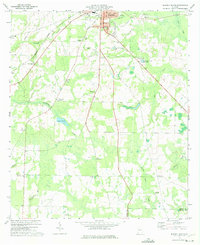
2024 Hentown
Early County, GA
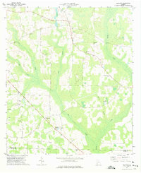
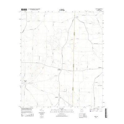
2024 Lucile
Early County, GA
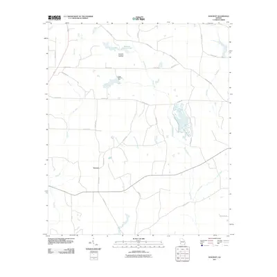
2024 Saffold
Early County, GA