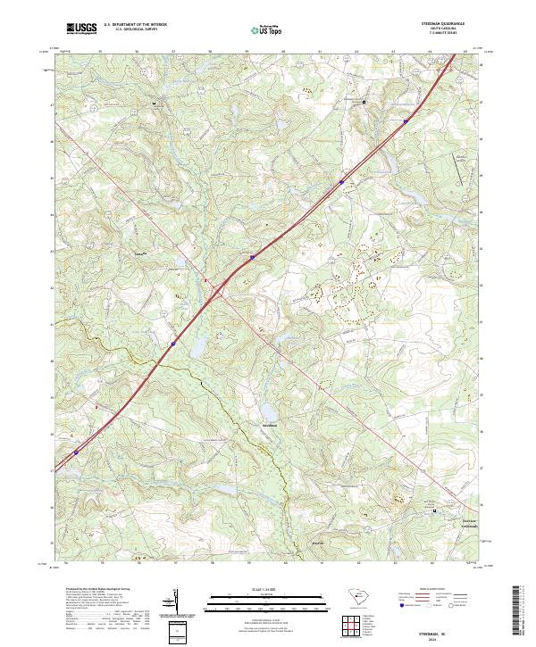
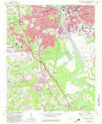
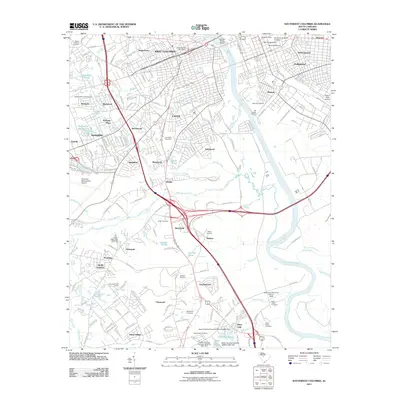
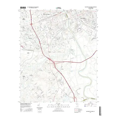
2024 Map of Steedman
USGS Topo · Published 2024About this map
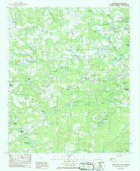
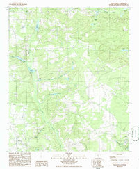
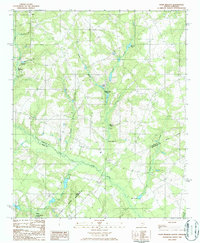
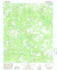
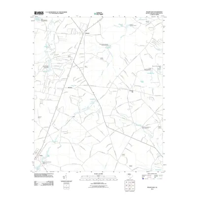
The North Fork Edisto River winds through this landscape on the Lexington and Aiken County line, defining a region where water management and rural education shaped the community. The presence of numerous historical impoundments such as Abells Millpond, Brodie Millpond, and Hallman Millpond suggests a legacy of local milling and agriculture along the tributaries of Lightwood Knot Creek and Mill Creek. Small settlements like Samaria and Steedman serve as local hubs, connected by a network of named roads including Samaria Hwy and Fairview Rd. Cultural landmarks are scattered throughout the quadrangle, from the Old Rowe School to the Bethlehem Church and Boatwright Cem, providing concrete touchpoints for genealogical research. The terrain is further marked by the Sand Burr Airport and the intersection of modern transit corridors with established hamlets like Fairview Crossroads and Rayflin.
Find a feature on this map
114 named features on this map. Tap any name to fly to it.
Don’t see what you’re looking for? This feature index may not catch every label — zoom into the map to look around manually.
Map Details
Editions of this 2024 Steedman Map
This is the sole edition of this map. No revisions or reprints were ever made.
Historical Maps of Steedman Through Time
49 maps found
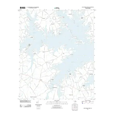
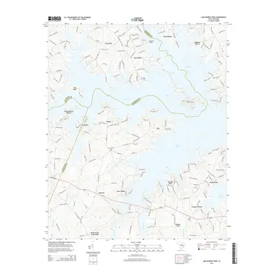
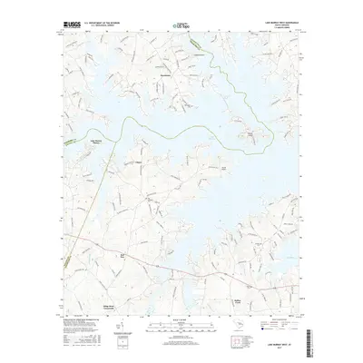
1971 Lake Murray East
Lexington County, SC
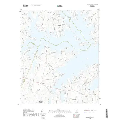
1971 Lake Murray West
Lexington County, SC
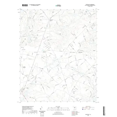
1972 Pelion East
Lexington County, SC
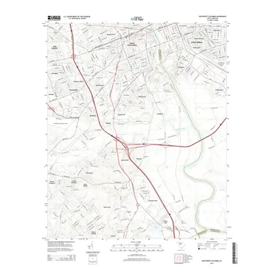
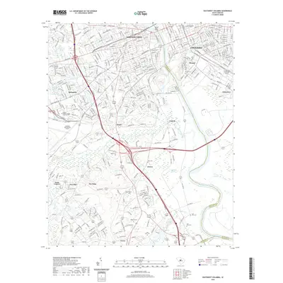
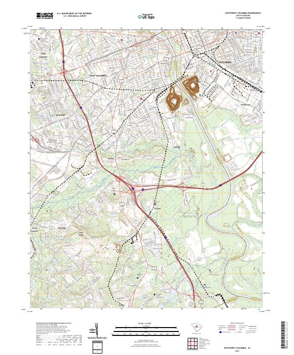
1972 Southwest Columbia
Lexington County, SC
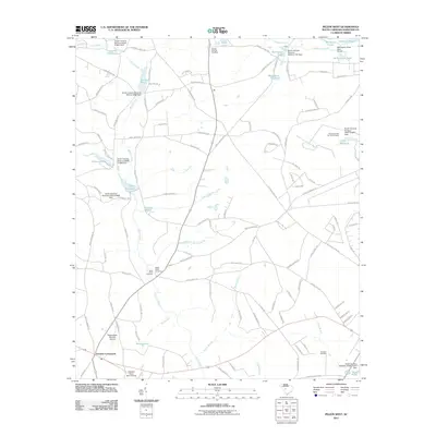
1986 Barr Lake
Lexington County, SC
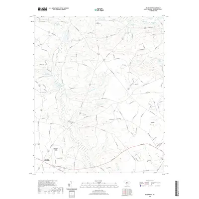
1986 Pelion West
Lexington County, SC
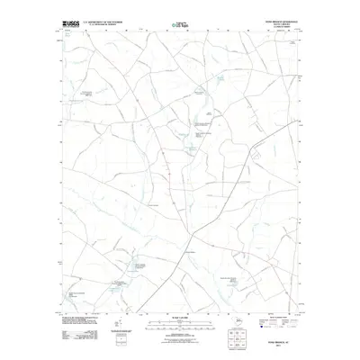
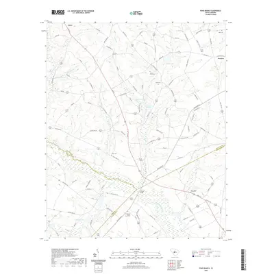
1986 Pond Branch
Lexington County, SC
1986 Steedman
Lexington County, SC
1994 Southwest Columbia
Lexington County, SC
2011 Barr Lake
Lexington County, SC
2011 Lake Murray East
Lexington County, SC
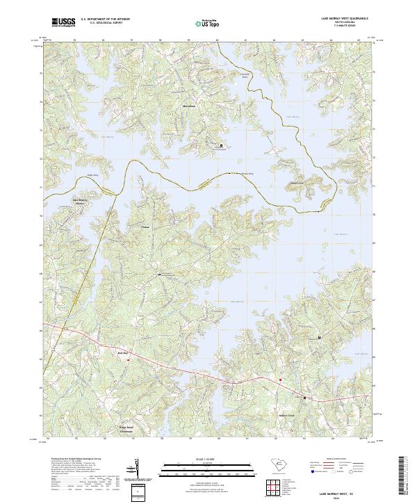
2011 Lake Murray West
Lexington County, SC
2011 Pelion East
Lexington County, SC
2011 Pelion West
Lexington County, SC
2011 Pond Branch
Lexington County, SC
2011 Southwest Columbia
Lexington County, SC
2011 Steedman
Lexington County, SC
2014 Barr Lake
Lexington County, SC
2014 Lake Murray East
Lexington County, SC
2014 Lake Murray West
Lexington County, SC
2014 Pelion East
Lexington County, SC
2014 Pelion West
Lexington County, SC
2014 Pond Branch
Lexington County, SC
2014 Southwest Columbia
Lexington County, SC
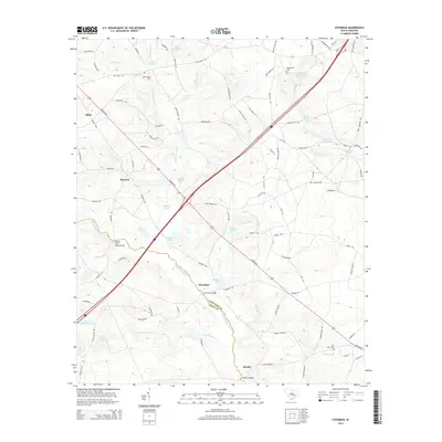
2014 Steedman
Lexington County, SC
2017 Barr Lake
Lexington County, SC
2017 Lake Murray East
Lexington County, SC
2017 Lake Murray West
Lexington County, SC
2017 Pelion East
Lexington County, SC
2017 Pelion West
Lexington County, SC
2017 Pond Branch
Lexington County, SC
2017 Southwest Columbia
Lexington County, SC
2017 Steedman
Lexington County, SC
2020 Barr Lake
Lexington County, SC
2020 Lake Murray East
Lexington County, SC
2020 Lake Murray West
Lexington County, SC
2020 Pelion East
Lexington County, SC
2020 Pelion West
Lexington County, SC
2020 Pond Branch
Lexington County, SC
2020 Southwest Columbia
Lexington County, SC
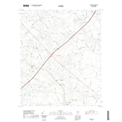
2020 Steedman
Lexington County, SC
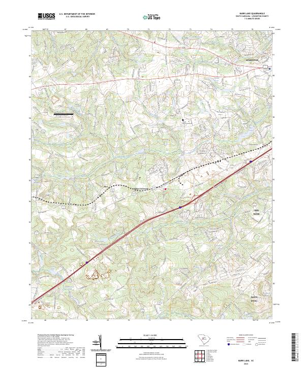
2024 Barr Lake
Lexington County, SC
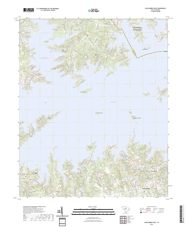
2024 Lake Murray East
Lexington County, SC
2024 Lake Murray West
Lexington County, SC
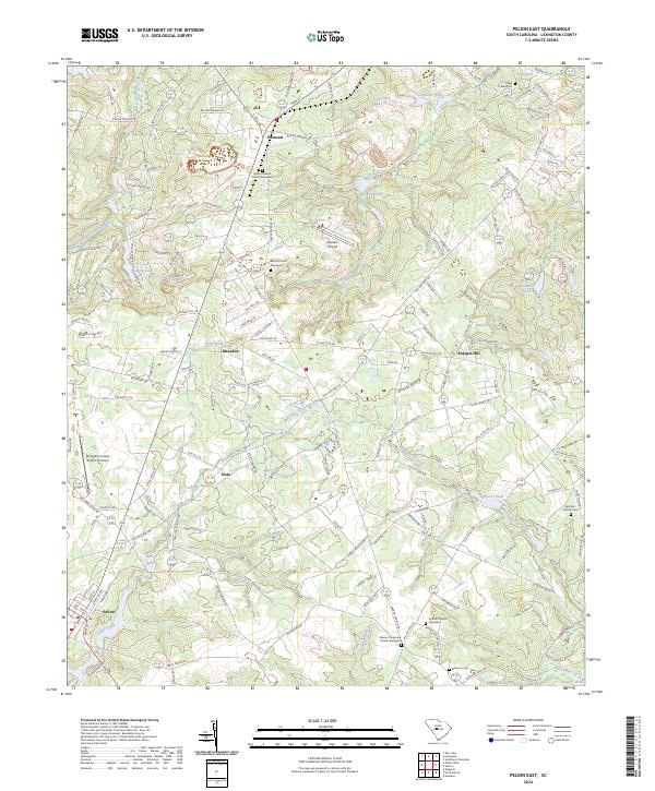
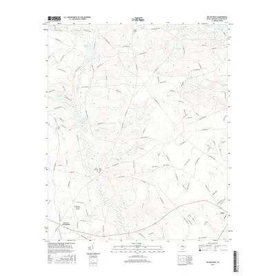
2024 Pelion East
Lexington County, SC
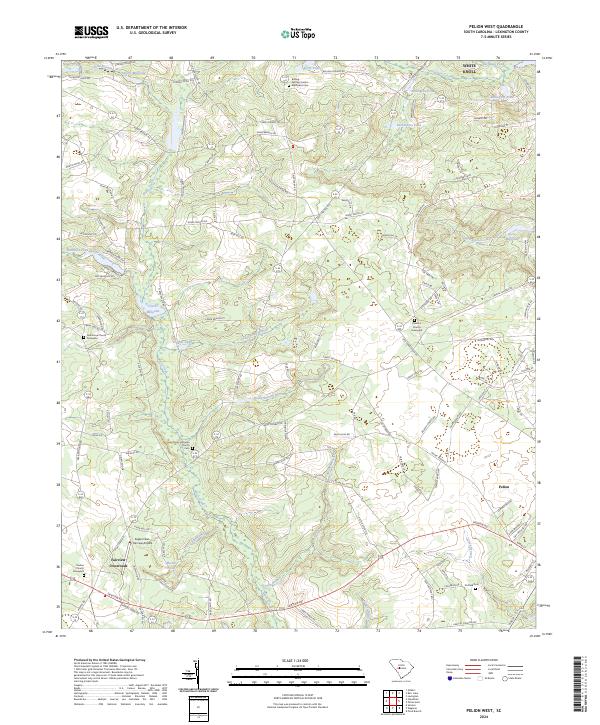
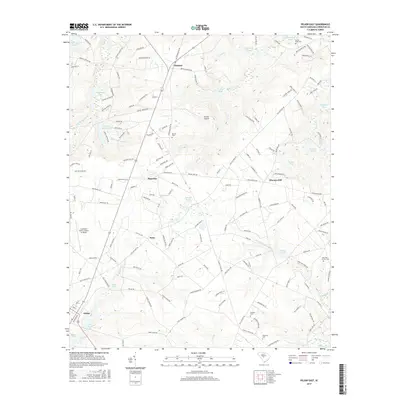
2024 Pelion West
Lexington County, SC
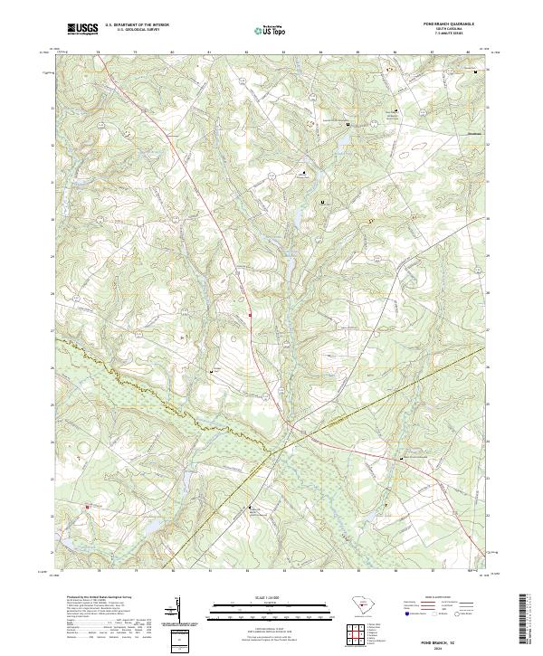
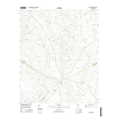
2024 Pond Branch
Lexington County, SC
2024 Southwest Columbia
Lexington County, SC
2024 Steedman
Lexington County, SC