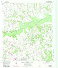
1960 Map of Streetman
USGS Topo · Published 1983About this map
Streetman serves as the primary hub on this map, situated at the junction of rail and road near the Navarro and Freestone County line. The settlement pattern is defined by rural community centers, often anchored by local houses of worship such as Silent Grove Ch, Birdston Valley Ch, and Friendship Ch. The landscape is heavily influenced by the winding course of Richland Creek, which creates a wide floodplain through the center of the quadrangle, flanked by numerous small tributaries like Grape Creek, Crab Creek, and Jones Branch. The Burlington Northern railroad cuts through the western portion, reflecting the vital transport corridor that linked these agricultural communities. Genealogists will find a wealth of burial sites, including Hancock Cem, Johnson Cem, and Birdston Cem, which highlight the deep-rooted family history tied to the surrounding fields and wooded creek bottoms.
Find a feature on this map
20 named features on this map. Tap any name to fly to it.
Don’t see what you’re looking for? This feature index may not catch every label — zoom into the map to look around manually.
Map Details
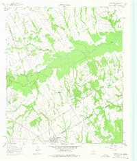
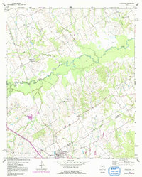
Editions of this 1960 Streetman Map
4 editions found
Other maps of this area

1954 · Dallas
USGS Topo · 1:250,000

1954 · Waco
USGS Topo · 1:250,000

1955 · Waco
USGS Topo · 1:250,000

1958 · Dallas
USGS Topo · 1:250,000

1959 · Powell
USGS Topo · 1:24,000

1960 · Winkler
USGS Topo · 1:24,000

1960 · Streetman
USGS Topo · 1:24,000

1960 · Goodlow Park
USGS Topo · 1:24,000

1963 · Richland
USGS Topo · 1:24,000

1963 · Wortham
USGS Topo · 1:24,000