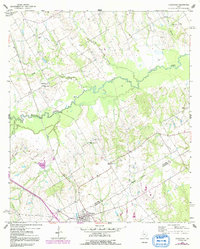
1960 Map of Streetman
USGS Topo · Published 1992About this map
Streetman and the surrounding rural landscapes of Freestone and Navarro Counties are defined by the meandering course of Richland Creek, which bisects the quadrangle. This 1960s-era survey, updated in the early 1980s, captures a transition from traditional agricultural settlements to modern infrastructure, marked by a prominent pipeline corridor crossing the terrain. The map is a vital resource for tracing family history, documenting several dispersed communities like Cheneyboro and numerous country churches, including Silent Grove Ch and Birdston Valley Ch. Smaller watercourses such as Crab Creek and Grape Creek feed into the central valley, while family-named landmarks like Johnson Cem and Handcock Cem anchor the local genealogy. The boundary between the two counties is noted as an Indefinite Boundary through the creek bottoms, reflecting the complex surveying history of these central Texas bottomlands.
Find a feature on this map
20 named features on this map. Tap any name to fly to it.
Don’t see what you’re looking for? This feature index may not catch every label — zoom into the map to look around manually.
Map Details
Editions of this 1960 Streetman Map
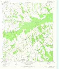
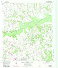
4 editions found
Other maps of this area

1954 · Dallas
USGS Topo · 1:250,000

1954 · Waco
USGS Topo · 1:250,000

1955 · Waco
USGS Topo · 1:250,000

1958 · Dallas
USGS Topo · 1:250,000

1959 · Powell
USGS Topo · 1:24,000

1960 · Winkler
USGS Topo · 1:24,000

1960 · Streetman
USGS Topo · 1:24,000

1960 · Goodlow Park
USGS Topo · 1:24,000

1963 · Richland
USGS Topo · 1:24,000

1963 · Wortham
USGS Topo · 1:24,000