
1951 Map of Summerfield
USGS Topo · Published 1952About this map
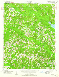
Summerfield serves as the central hub for this North Louisiana landscape during the early 1950s, where small settlements and rural institutions define the community geography of Claiborne Parish. The map reveals an intricate network of country schools and churches, such as Mt Sinai Ch and New Home Sch, often accompanied by family and community burial grounds like the Aycock Cem and Liberty Hill Cem. This period shows the region's transition into the modern industrial era, marked by a Gas Refinery and numerous Gas Wells scattered across the terrain.
Find a feature on this map
70 named features on this map. Tap any name to fly to it.
Don’t see what you’re looking for? This feature index may not catch every label — zoom into the map to look around manually.
Map Details
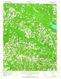
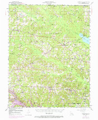
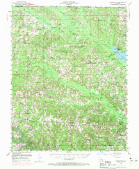
Editions of this 1951 Summerfield Map
5 editions found
Other maps of this area

1927 · El Dorado
USGS Topo · 1:62,500

1930 · El Dorado
USGS Topo · 1:62,500

1949 · Gibsland
USGS Topo · 1:62,500

1950 · Gibsland
USGS Topo · 1:62,500

1950 · Ruston
USGS Topo · 1:62,500

1950 · Arcadia
USGS Topo · 1:62,500

1951 · Arcadia
USGS Topo · 1:62,500

1951 · Ruston
USGS Topo · 1:62,500

1951 · Bernice
USGS Topo · 1:62,500

1951 · El Dorado
USGS Topo · 1:62,500