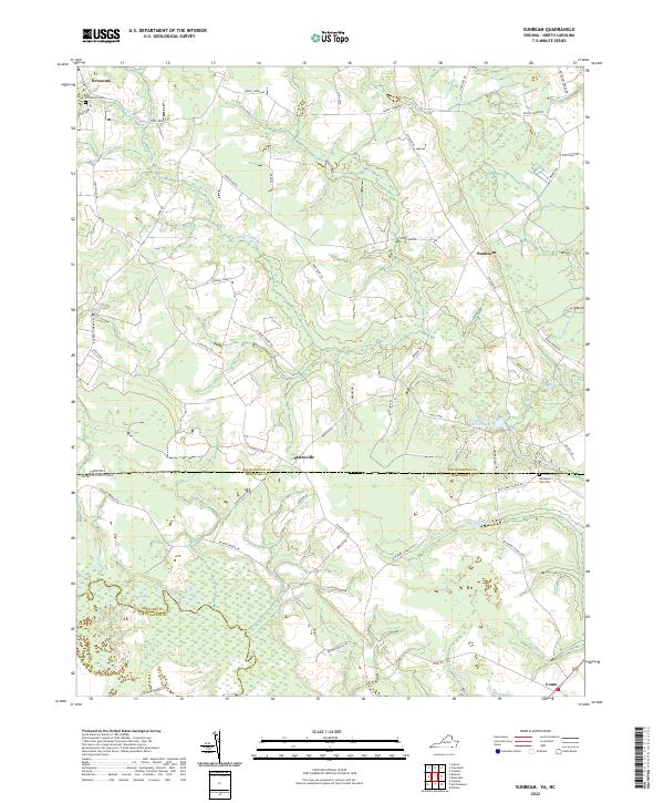
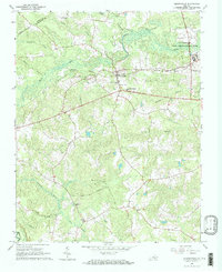
2022 Map of Sunbeam
USGS Topo · Published 2022About this map
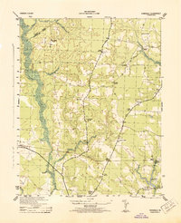
Newsoms and Sunbeam anchor this coastal plain landscape where the Virginia and North Carolina border meets. The terrain is defined by an intricate network of wetlands and small waterways, notably Darden Mill Run and Cypress Swamp Road, which illustrate the region's historical reliance on drainage and mill-based industry. Local history is preserved in landmarks such as Barnes Church and the Hollywood Cemetery, while the southern reaches of the map track the Meherrin River near Como. This area, split between Southampton County and Hertford County, maintains a rural character dominated by agricultural road networks like Mount Horeb Road and Sunbeam Road. The positioning of Windborne Mill Pond reflects the early engineering of the landscape for local utility.
Find a feature on this map
51 named features on this map. Tap any name to fly to it.
Don’t see what you’re looking for? This feature index may not catch every label — zoom into the map to look around manually.
Map Details
Editions of this 2022 Sunbeam Map
This is the sole edition of this map. No revisions or reprints were ever made.
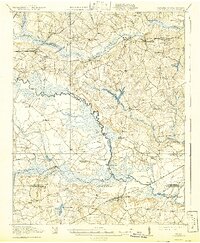
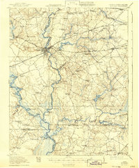
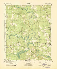
Historical Maps of Drakes Corner Through Time
24 maps found

1919 Arringdale
Southampton County, VA
1920 Arringdale
Southampton County, VA
1920 Holland
Southampton County, VA

1942 Arringdale
Southampton County, VA

1943 Holland
Southampton County, VA
1943 Sebrell
Southampton County, VA
1943 Vicksville
Southampton County, VA

1957 Holland
Southampton County, VA
1957 Sebrell
Southampton County, VA
1957 Vicksville
Southampton County, VA
1966 Adams Grove
Southampton County, VA
1966 Drewryville
Southampton County, VA
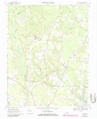
1966 Sunbeam
Southampton County, VA
1967 Riverdale
Southampton County, VA
1968 Sebrell
Southampton County, VA
1969 Vicksville
Southampton County, VA
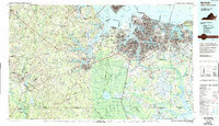
1985 Norfolk
Southampton County, VA
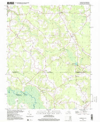
1997 Sunbeam
Southampton County, VA
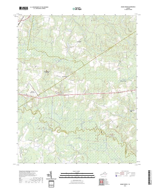
2022 Adams Grove
Southampton County, VA
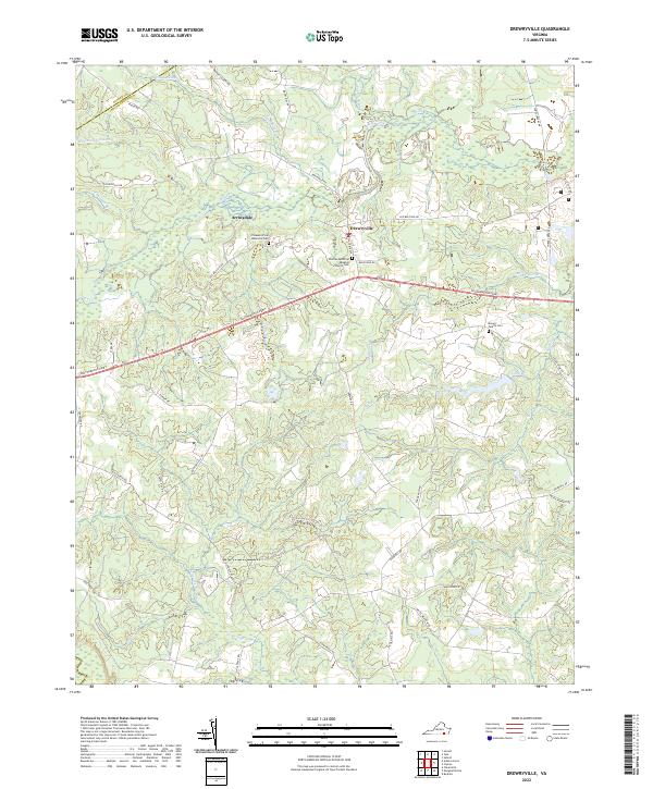
2022 Drewryville
Southampton County, VA
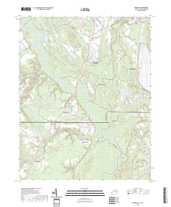
2022 Riverdale
Southampton County, VA
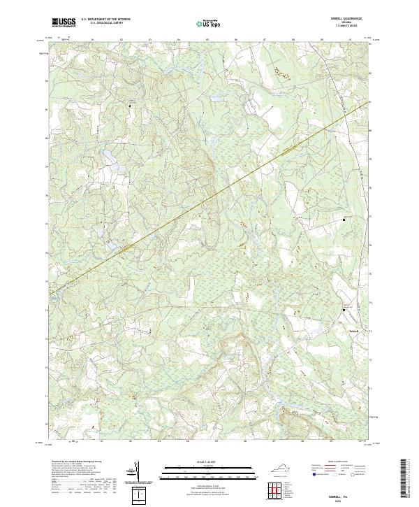
2022 Sebrell
Southampton County, VA
2022 Sunbeam
Southampton County, VA
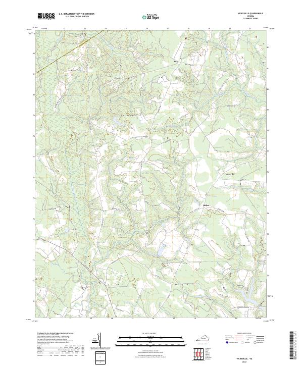
2022 Vicksville
Southampton County, VA