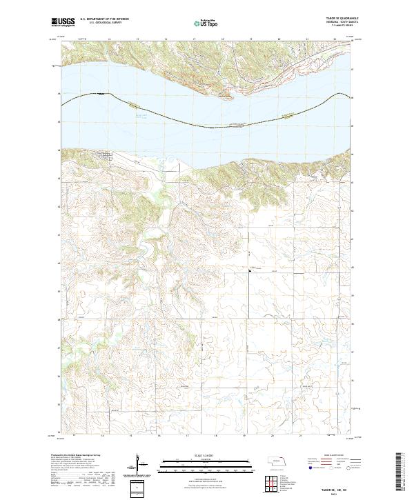
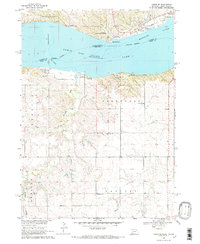
2021 Map of Tabor SE
USGS Topo · Published 2021About this map
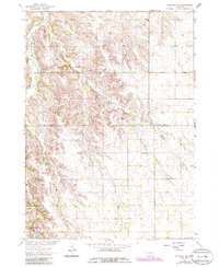
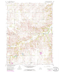
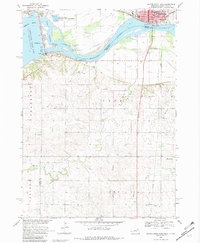
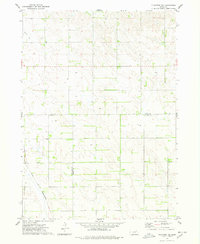
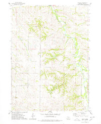
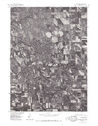
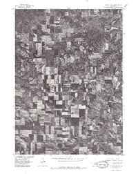
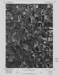
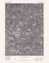
Lewis and Clark Lake dominates the northern landscape of this Knox County borderland, where the waters of the Missouri River are held by the infrastructure at Gavins Point. The terrain is defined by the sharp elevations of Chalk Bluffs and the deeply incised drainages of Weigand Creek, creating a complex topography of ridges and draws south of the South Dakota state line. While the northern shoreline is developed with modern recreational corridors like the Lewis and Clark Bicycle/Pedestrian Trl and various residential drives such as Sleepy Hollow Dr, the interior remains largely rural. This agricultural character is anchored by the historic Frankfort Cem and several private water works, including Zart Reservoir and Steffan Reservoir, which reflect the localized water management necessary for upland farming in this portion of Nebraska.
Find a feature on this map
59 named features on this map. Tap any name to fly to it.
Don’t see what you’re looking for? This feature index may not catch every label — zoom into the map to look around manually.
Map Details
Editions of this 2021 Tabor SE Map
This is the sole edition of this map. No revisions or reprints were ever made.
Historical Maps of Frankfort Township Through Time
31 maps found
1950 Pishelville
Knox County, NE
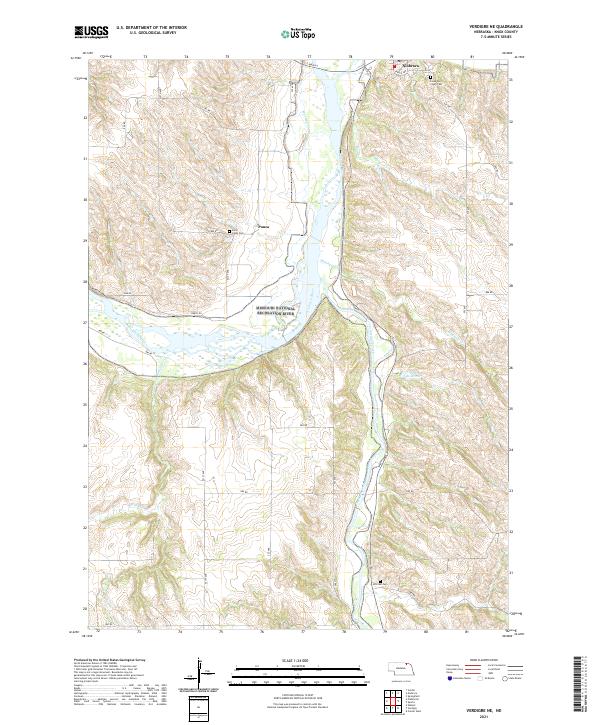
1950 Verdigre NE
Knox County, NE
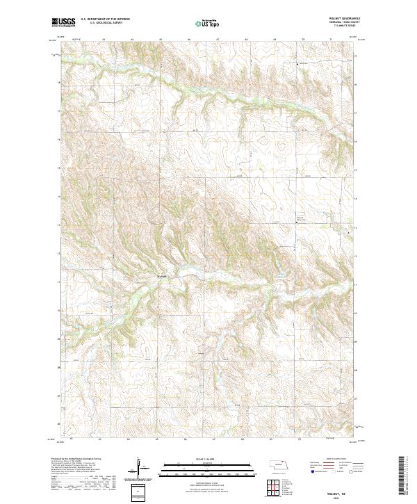
1954 Walnut
Knox County, NE
1963 Orchard NE
Knox County, NE
1963 Orchard NW
Knox County, NE

1968 Bloomfield NE
Knox County, NE
1968 Bloomfield SE
Knox County, NE
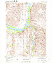
1968 Gavins Point Dam
Knox County, NE
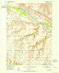
1968 Tabor SE
Knox County, NE
1974 Center East
Knox County, NE
1974 Center West
Knox County, NE
1974 Howe Creek
Knox County, NE
1974 Plainview NE
Knox County, NE
1974 Sparta
Knox County, NE
1977 Center East
Knox County, NE
1977 Center West
Knox County, NE
1977 Howe Creek
Knox County, NE
1977 Sparta
Knox County, NE
2021 Bloomfield NE
Knox County, NE
2021 Bloomfield SE
Knox County, NE
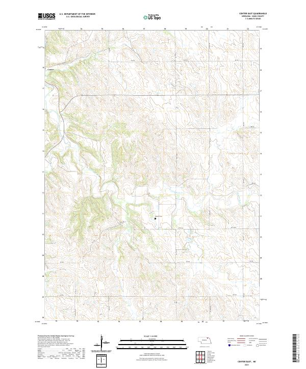
2021 Center East
Knox County, NE
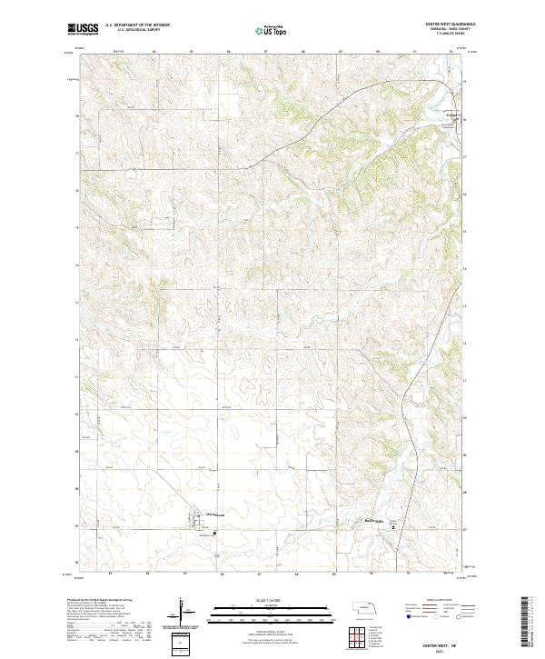
2021 Center West
Knox County, NE
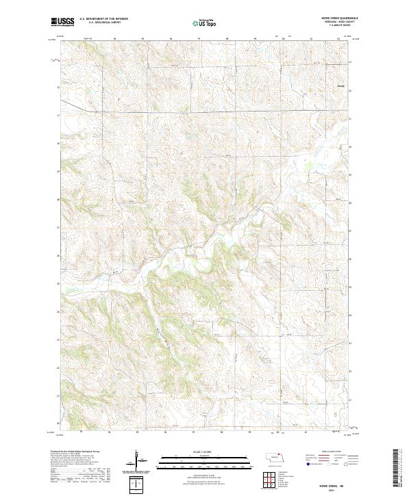
2021 Howe Creek
Knox County, NE
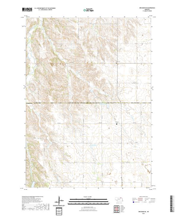
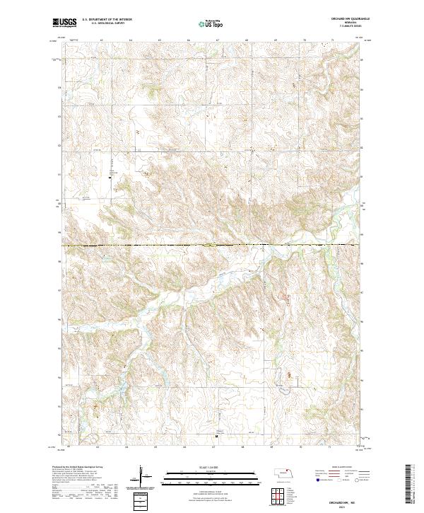
2021 Orchard NE
Knox County, NE
2021 Orchard NW
Knox County, NE
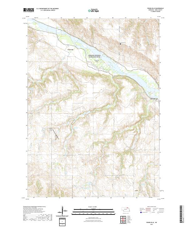
2021 Pishelville
Knox County, NE
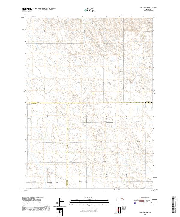
2021 Plainview NE
Knox County, NE
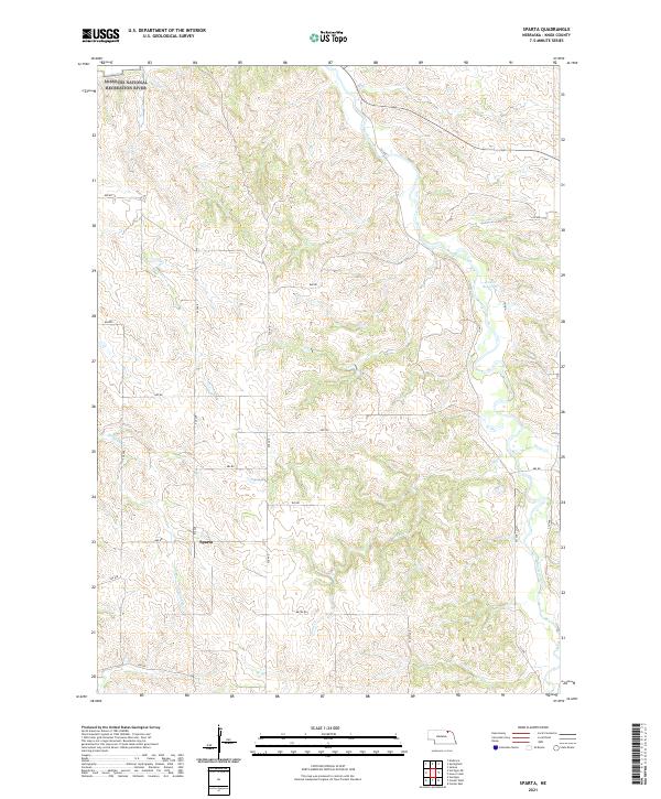
2021 Sparta
Knox County, NE
2021 Tabor SE
Knox County, NE
2021 Verdigre NE
Knox County, NE
2021 Walnut
Knox County, NE
Featured Locations
- Utica South Township, SD
- Ziskov South Township, SD
- Frankfort Township, NE
- Kohles Acres Area, NE
- North Frankfort Township, NE