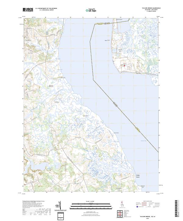
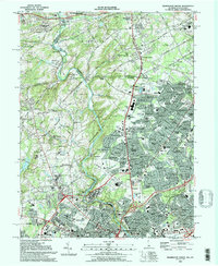
2023 Map of Taylors Bridge
USGS Topo · Published 2023About this map
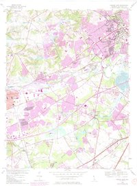
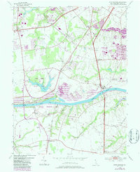
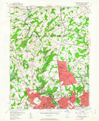
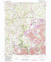
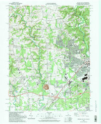
The coastal marshes of the Delmarva Peninsula define this landscape where the Appoquinimink River and Blackbird Creek flow into the Delaware Bay. The map reveals an intricate network of waterways and drainage features like The Big Ditch, Skunk Hill Ditch, and Peach House Ditch, reflecting centuries of land management in these low-lying wetlands. Small shoreline settlements and landings, including Collins Beach and Pools Bottom, are connected by a web of local roads such as Taylors Bridge Rd and Fleming Landing Rd. Across the water, the boundary with Salem County, New Jersey passes near Artificial Island and Baker Shoal, highlighting the strategic maritime geography of the bay. The persistence of names like Thoroughfare Neck and Vance Neck suggests a long history of agricultural and maritime use in this corner of New Castle County.
Find a feature on this map
58 named features on this map. Tap any name to fly to it.
Don’t see what you’re looking for? This feature index may not catch every label — zoom into the map to look around manually.
Map Details
Editions of this 2023 Taylors Bridge Map
This is the sole edition of this map. No revisions or reprints were ever made.
Historical Maps of Daniels Tract Through Time
23 maps found
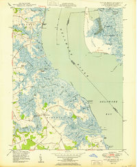
1948 Taylors Bridge
New Castle County, DE
1948 Wilmington South
New Castle County, DE
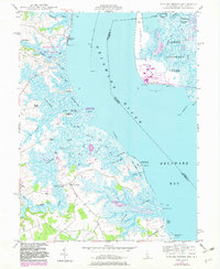
1950 Taylors Bridge
New Castle County, DE
1953 Newark East
New Castle County, DE
1953 Saint Georges
New Castle County, DE
1954 Wilmington North
New Castle County, DE
1967 Wilmington North
New Castle County, DE

1967 Wilmington South
New Castle County, DE
1992 Newark West
New Castle County, DE
1993 Newark East
New Castle County, DE
1993 Saint Georges
New Castle County, DE
1993 Taylors Bridge
New Castle County, DE
1993 Wilmington North
New Castle County, DE
1993 Wilmington South
New Castle County, DE
1997 Wilmington North
New Castle County, DE
1997 Wilmington South
New Castle County, DE
1999 Taylors Bridge
New Castle County, DE

2023 Newark East
New Castle County, DE
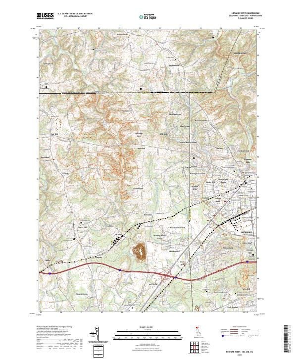
2023 Newark West
New Castle County, DE
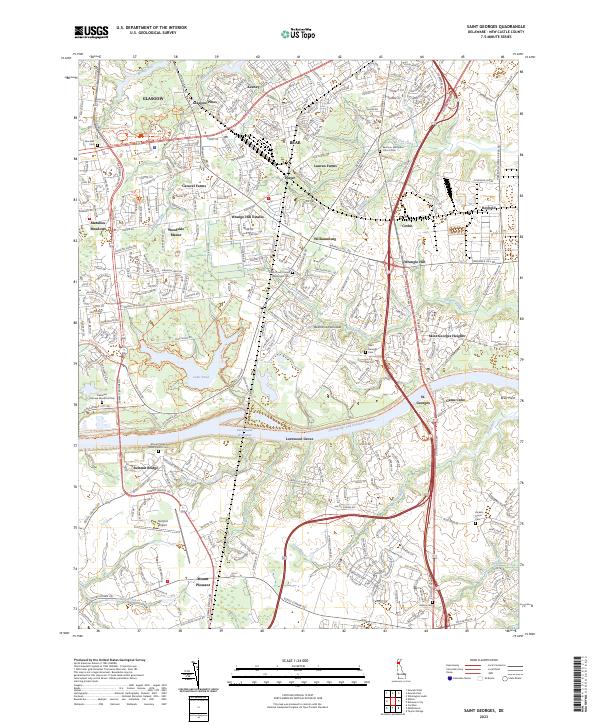
2023 Saint Georges
New Castle County, DE
2023 Taylors Bridge
New Castle County, DE
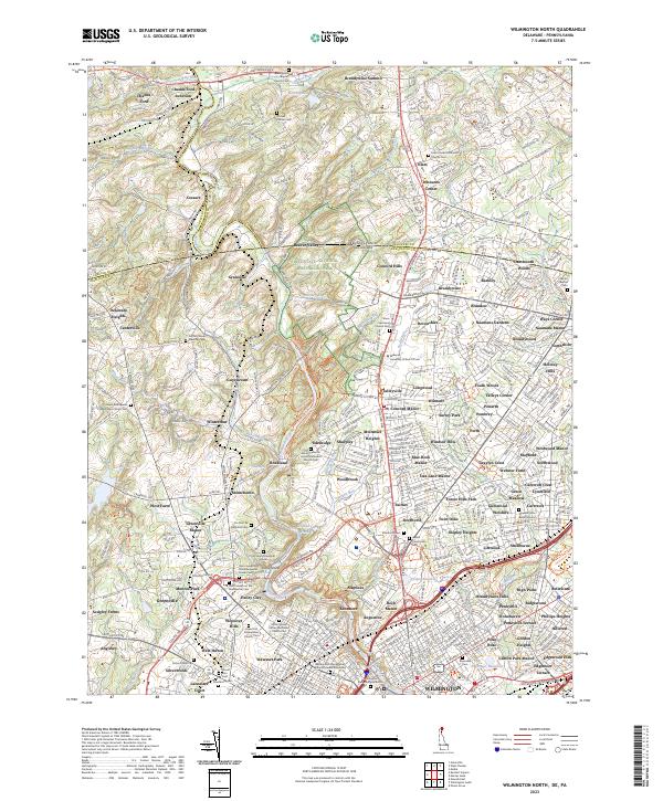
2023 Wilmington North
New Castle County, DE
2023 Wilmington South
New Castle County, DE