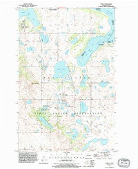
1994 Map of Tokio
USGS Topo · Published 1995This historical map portrays the area of Tokio in 1994, primarily covering Benson County as well as portions of Ramsey County. Featuring a scale of 1:24000, this map provides a highly detailed snapshot of the terrain, roads, buildings, counties, and historical landmarks in the Tokio region at the time. Published in 1995, it is the sole known edition of this map.
Map Details
Editions of this 1994 Tokio Map
This is the sole edition of this map. No revisions or reprints were ever made.
Historical Maps of Benson County Through Time
32 maps found
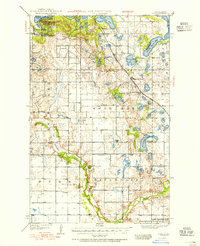
1928 Tokio
Benson County, ND
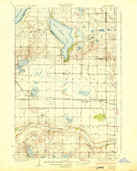
1930 Hamar
Benson County, ND
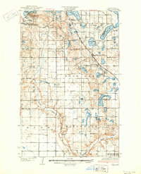
1931 Tokio
Benson County, ND
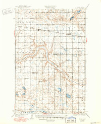
1932 Flora
Benson County, ND
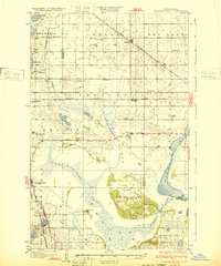
1932 Grahams Island
Benson County, ND
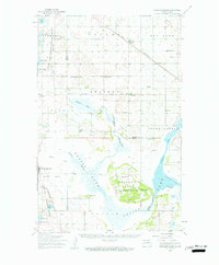
1950 Grahams Island
Benson County, ND
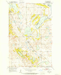
1950 Tokio
Benson County, ND
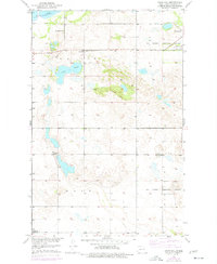
1951 Crow Hill
Benson County, ND
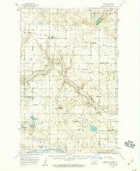
1951 Flora
Benson County, ND
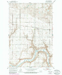
1951 Flora
Benson County, ND
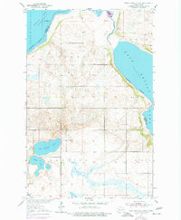
1951 Free Peoples Lake
Benson County, ND
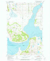
1951 Grahams Island
Benson County, ND
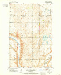
1951 Hesper
Benson County, ND
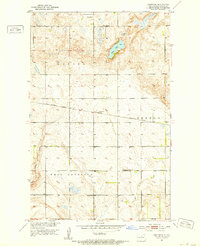
1951 Josephine
Benson County, ND
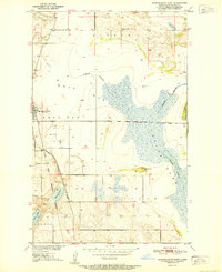
1951 Minnewaukan East
Benson County, ND
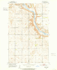
1951 Selz NE
Benson County, ND
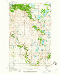
1951 Tokio
Benson County, ND
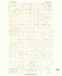
1957 Comstock
Benson County, ND
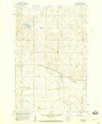
1958 Baker
Benson County, ND
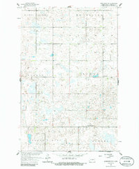
1958 Brinsmade SW
Benson County, ND
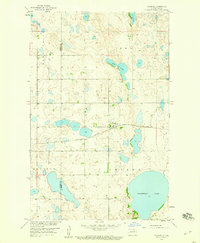
1958 Fillmore
Benson County, ND
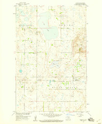
1958 Harlow
Benson County, ND
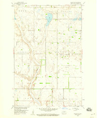
1958 Harlow SE
Benson County, ND
1958 Harlow SW
Benson County, ND
1958 Minnewaukan West
Benson County, ND
1962 Hamar
Benson County, ND
1971 Niles
Benson County, ND
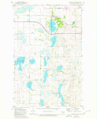
1971 Pleasant Lake
Benson County, ND
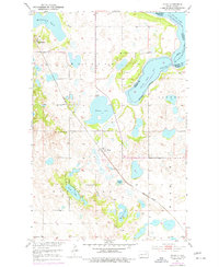
1975 Tokio
Benson County, ND
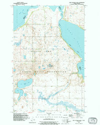
1994 Free Peoples Lake
Benson County, ND
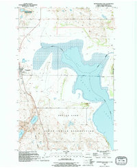
1994 Minnewaukan East
Benson County, ND

1994 Tokio
Benson County, ND