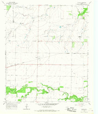
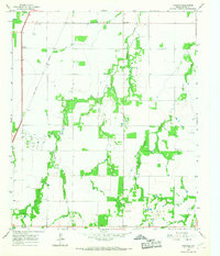
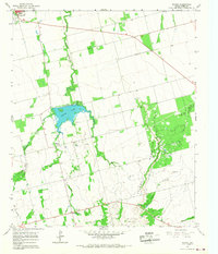
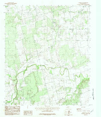
1965 Map of Tuxedo
USGS Topo · Published 1967This historical map portrays the area of Tuxedo in 1965, primarily covering Jones County as well as portions of Stonewall County and Haskell County. Featuring a scale of 1:24000, this map provides a highly detailed snapshot of the terrain, roads, buildings, counties, and historical landmarks in the Tuxedo region at the time. Published in 1967, it is one of 2 known editions of this map due to revisions or reprints.
Find a feature on this map
21 named features on this map. Tap any name to fly to it.
Don’t see what you’re looking for? This feature index may not catch every label — zoom into the map to look around manually.
Map Details
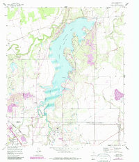
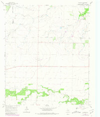
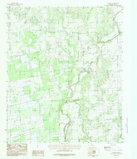
Editions of this 1965 Tuxedo Map
2 editions found
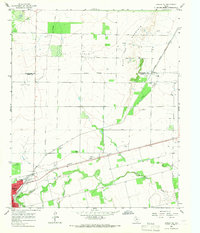
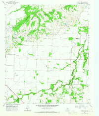
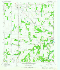
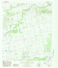
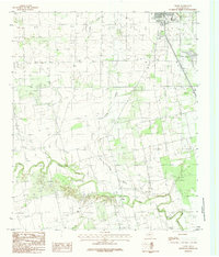
Historical Maps of Haskell County Through Time
15 maps found
1957 Hamby
Jones County, TX
1957 Noodle
Jones County, TX
1957 Nugent
Jones County, TX
1965 Funston
Jones County, TX
1965 Hamlin NE
Jones County, TX
1965 Lueders NW
Jones County, TX
1965 Lueders West
Jones County, TX
1965 Neinda
Jones County, TX
1965 Tuxedo
Jones County, TX
1984 Hawley NE
Jones County, TX
1984 Noodle
Jones County, TX
1984 Noodle NE
Jones County, TX
1984 Nugent
Jones County, TX
1984 Stith
Jones County, TX
1984 Truby
Jones County, TX