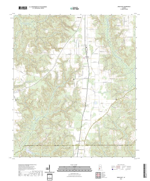
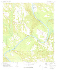
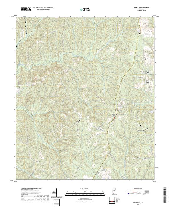
2024 Map of Uriah East
USGS Topo · Published 2024This historical map portrays the area of Uriah East in 2024, primarily covering Monroe County as well as portions of Escambia County and Conecuh County. Featuring a scale of 1:24000, this map provides a highly detailed snapshot of the terrain, roads, buildings, counties, and historical landmarks in the Uriah East region at the time. Published in 2024, it is the sole known edition of this map.
Map Details
Editions of this 2024 Uriah East Map
This is the sole edition of this map. No revisions or reprints were ever made.
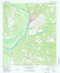
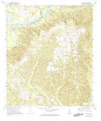
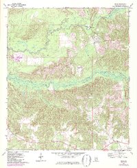
Historical Maps of Escambia County Through Time
28 maps found
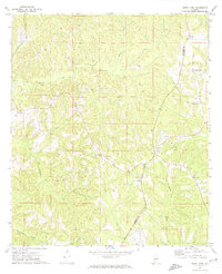
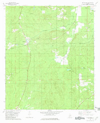
1971 Burnt Corn
Monroe County, AL
1971 Skinnerton
Monroe County, AL
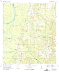
1972 Chrysler
Monroe County, AL
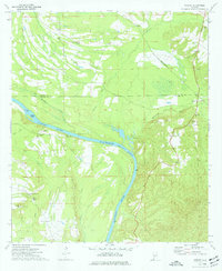
1972 Claiborne
Monroe County, AL
1972 Flynns Lake
Monroe County, AL
1972 Franklin
Monroe County, AL
1972 Mexia
Monroe County, AL
1972 Natchez
Monroe County, AL
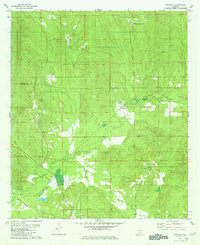
1972 Uriah East
Monroe County, AL
1972 Uriah West
Monroe County, AL
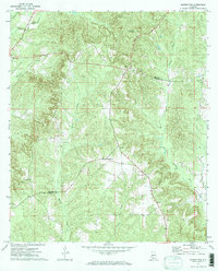
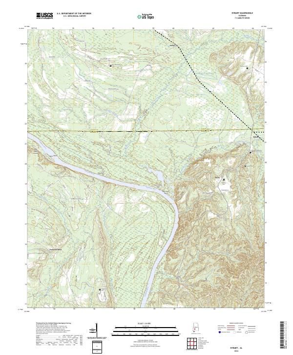
1973 Hybart
Monroe County, AL
1981 Mc Williams
Monroe County, AL
1981 Nadawah
Monroe County, AL
1981 Pine Apple South
Monroe County, AL
2024 Burnt Corn
Monroe County, AL
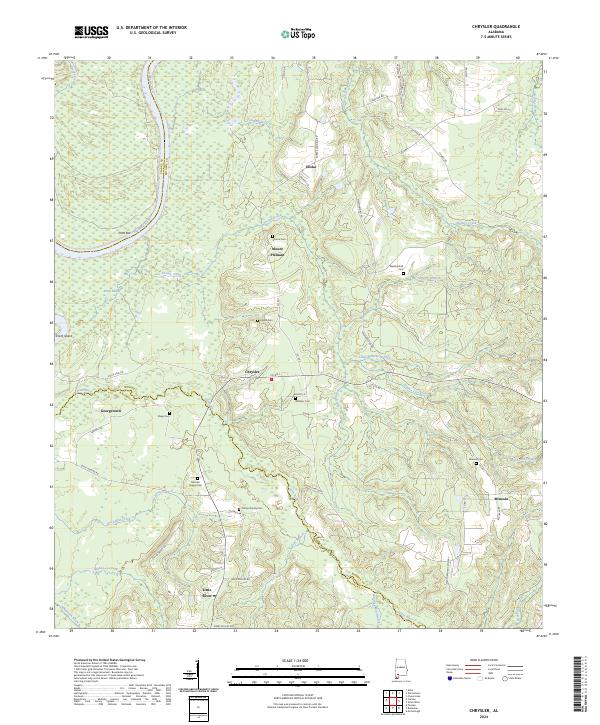
2024 Chrysler
Monroe County, AL
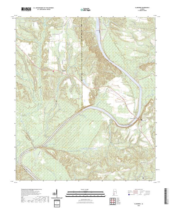
2024 Claiborne
Monroe County, AL
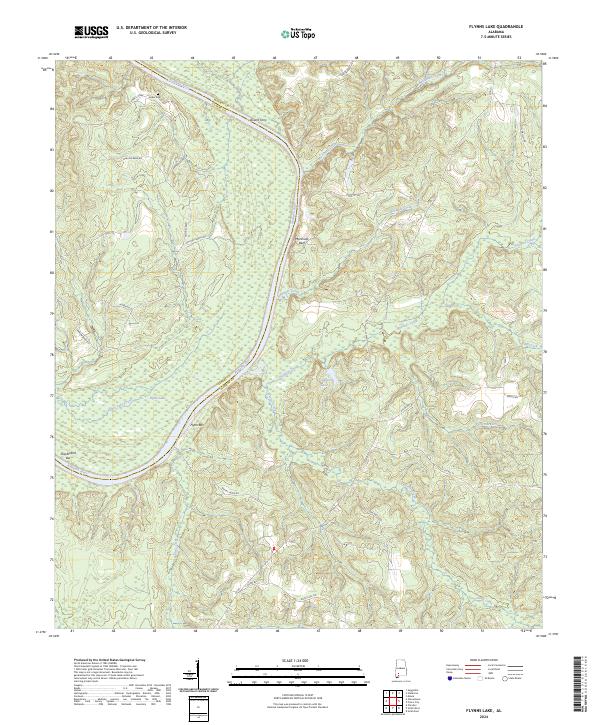
2024 Flynns Lake
Monroe County, AL
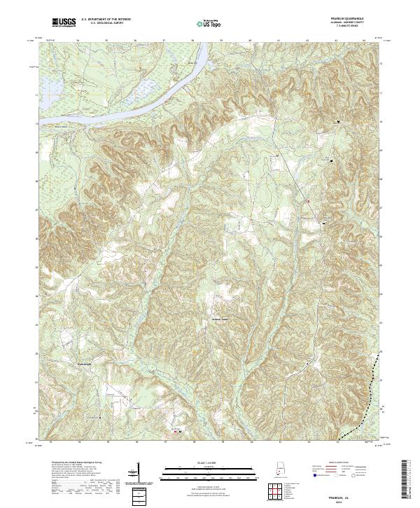
2024 Franklin
Monroe County, AL
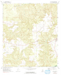
2024 Hybart
Monroe County, AL
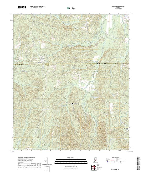
2024 McWilliams
Monroe County, AL
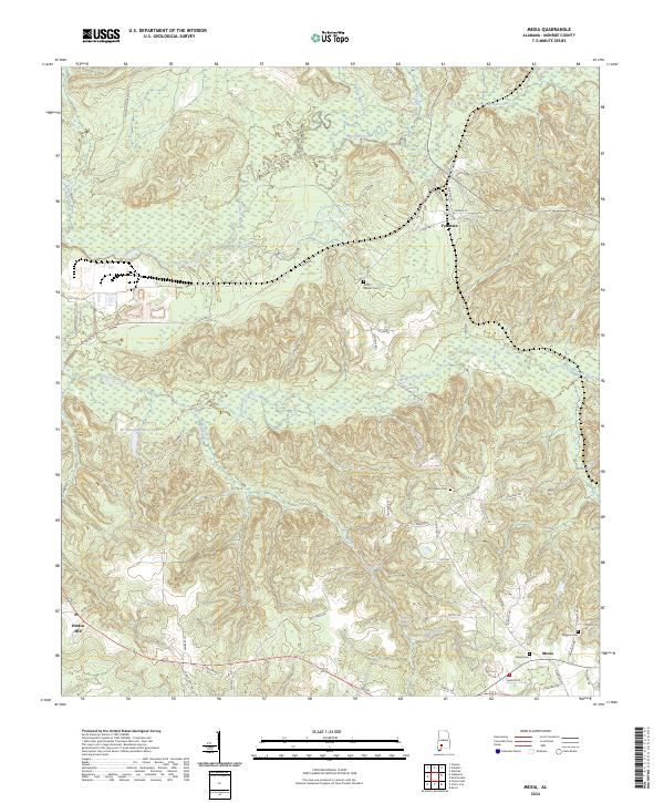
2024 Mexia
Monroe County, AL
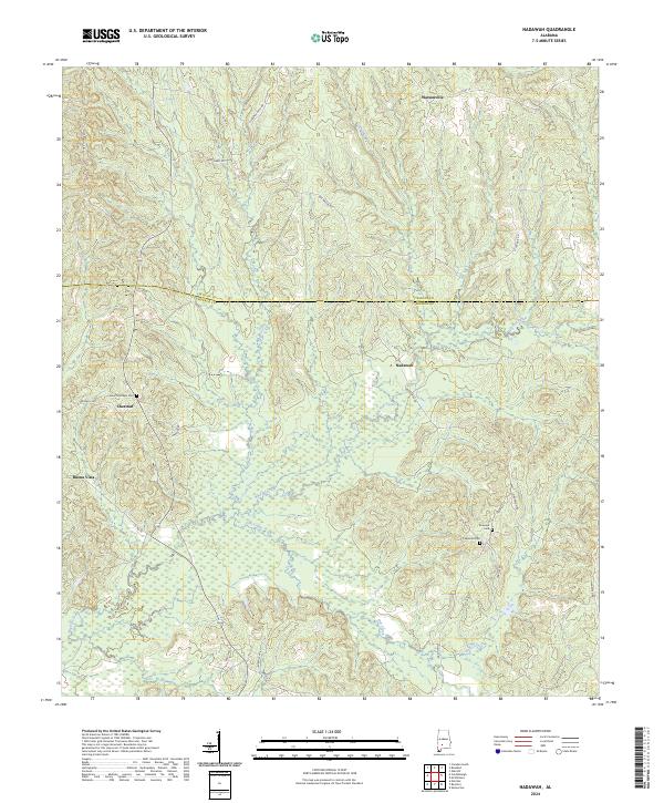
2024 Nadawah
Monroe County, AL
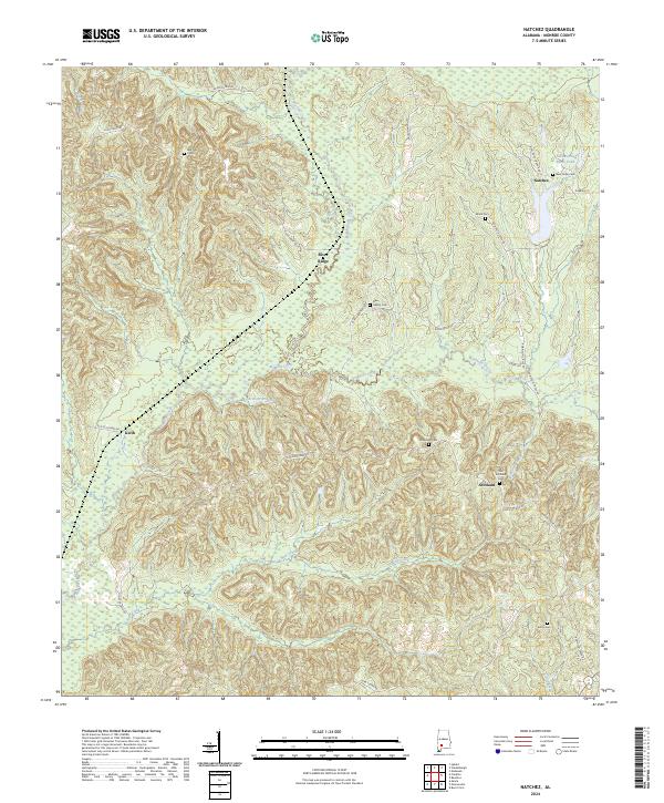
2024 Natchez
Monroe County, AL
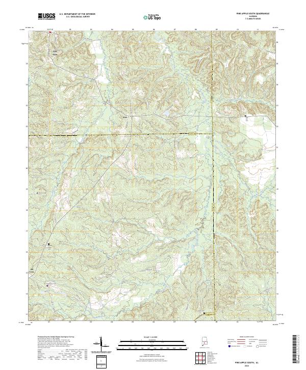
2024 Pine Apple South
Monroe County, AL
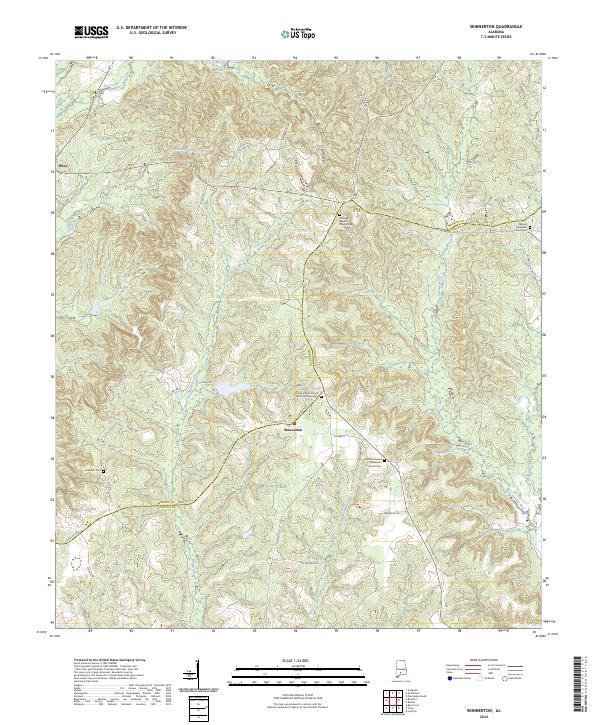
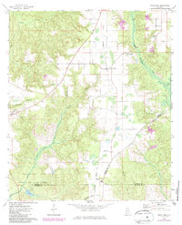
2024 Skinnerton
Monroe County, AL
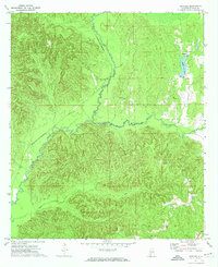
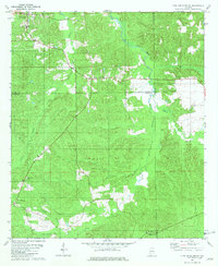
2024 Uriah East
Monroe County, AL
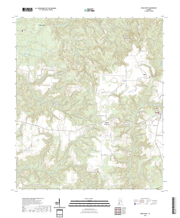
2024 Uriah West
Monroe County, AL