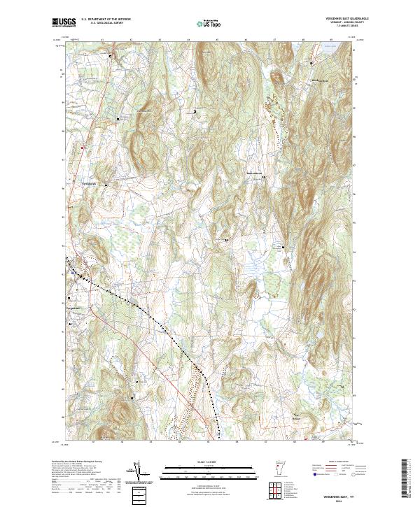
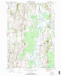
2024 Map of Vergennes East
USGS Topo · Published 2024About this map
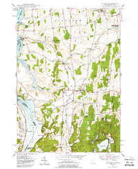
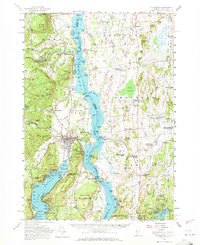
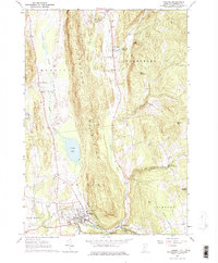
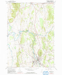
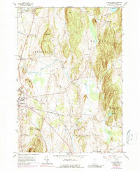
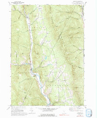
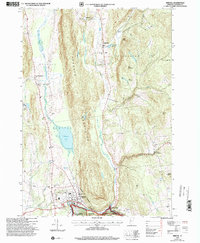
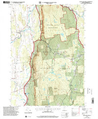
Monkton Boro and Barnumtown anchor a landscape defined by the rolling foothills of the Green Mountains, where agricultural lands meet steep ridges like Shellhouse Mtn and Mt Fuller. This 2024 survey captures the enduring rural character of Addison County, documenting a dense network of local roads such as Boro Hill Rd and King Farm Rd that stitch together family farms and historic properties. The drainage patterns of Little Otter Creek and Mud Creek dominate the lowlands, creating natural boundaries between the settlements of Ferrisburgh and Vergennes.
Find a feature on this map
97 named features on this map. Tap any name to fly to it.
Don’t see what you’re looking for? This feature index may not catch every label — zoom into the map to look around manually.
Map Details
Editions of this 2024 Vergennes East Map
This is the sole edition of this map. No revisions or reprints were ever made.
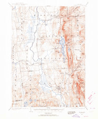
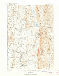
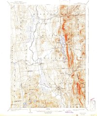
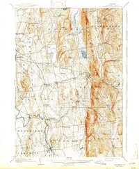
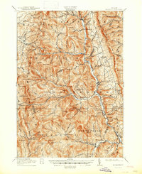
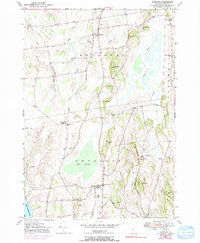
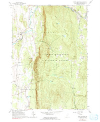
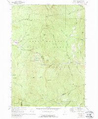
Historical Maps of Panton Through Time
36 maps found
1902 Brandon
Addison County, VT
1903 Middlebury
Addison County, VT
1904 Brandon
Addison County, VT
1905 Middlebury
Addison County, VT

1915 Rochester
Addison County, VT
1917 Rochester
Addison County, VT

1920 Brandon
Addison County, VT

1920 Middlebury
Addison County, VT

1927 Orwell
Addison County, VT
1943 Cornwall
Addison County, VT
1949 Bridport
Addison County, VT
1949 Orwell
Addison County, VT

1950 Bridport
Addison County, VT
1950 Ticonderoga
Addison County, VT
1963 Bristol
Addison County, VT
1963 Middlebury
Addison County, VT
1963 Monkton Boro
Addison County, VT
1963 South Mountain
Addison County, VT
1970 Bread Loaf
Addison County, VT
1970 Hancock
Addison County, VT

1983 Cornwall
Addison County, VT

1997 Bread Loaf
Addison County, VT
1997 Bristol
Addison County, VT

1997 Hancock
Addison County, VT
1997 South Mountain
Addison County, VT
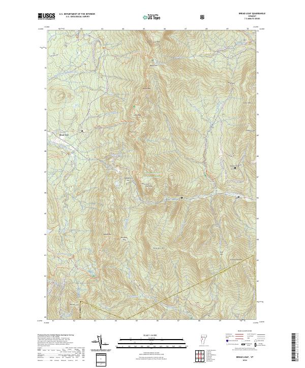
2024 Bread Loaf
Addison County, VT
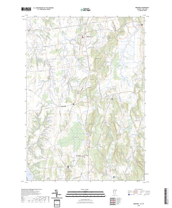
2024 Bridport
Addison County, VT
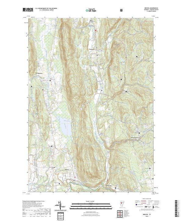
2024 Bristol
Addison County, VT
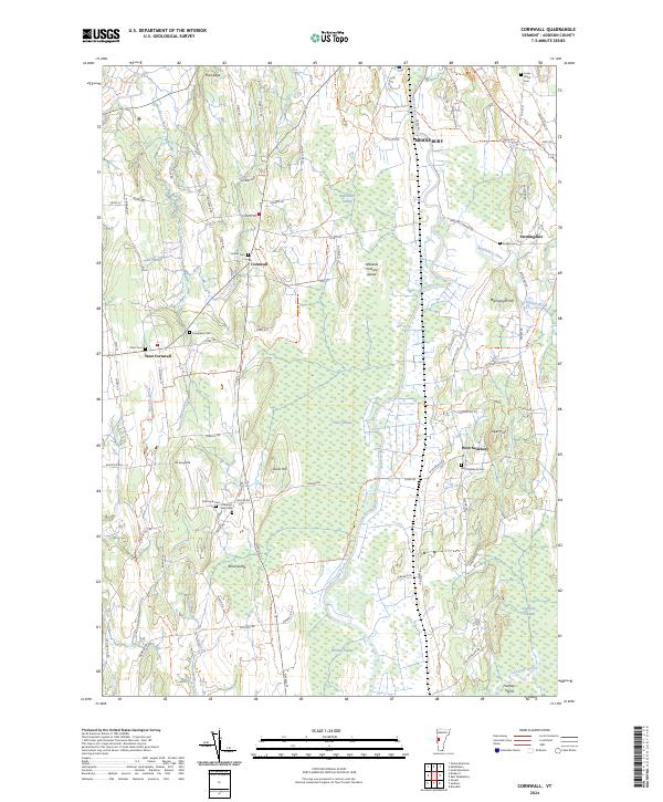
2024 Cornwall
Addison County, VT
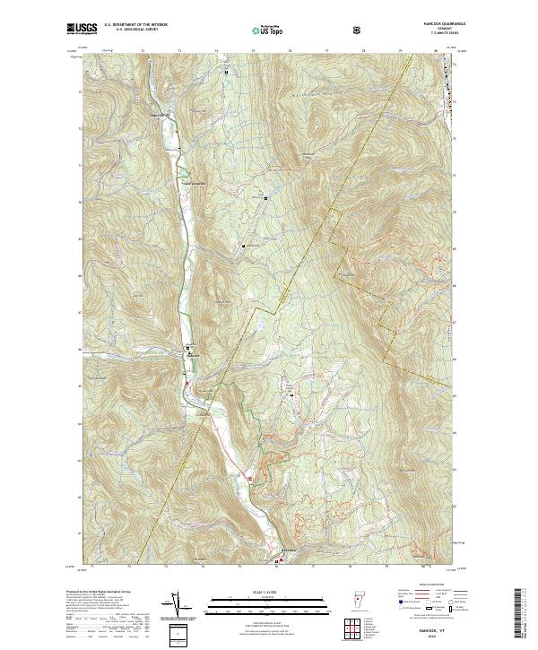
2024 Hancock
Addison County, VT
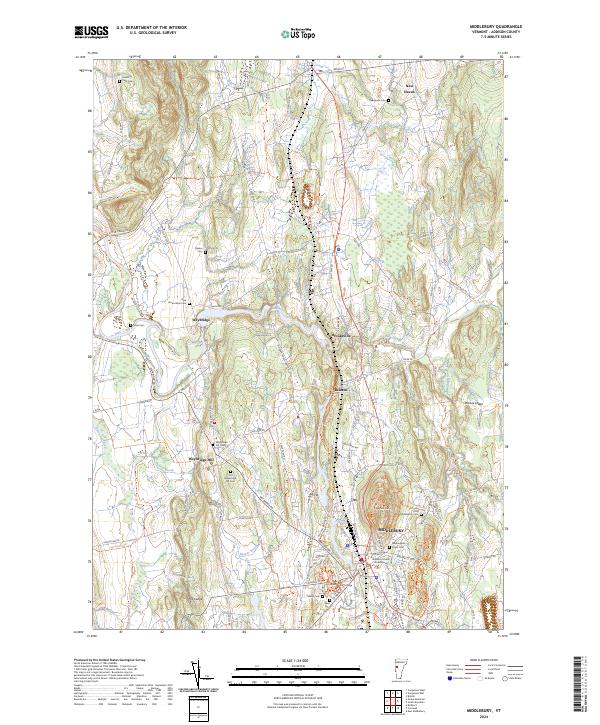
2024 Middlebury
Addison County, VT
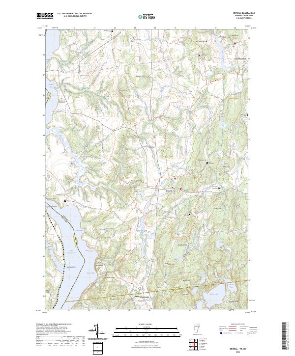
2024 Orwell
Addison County, VT
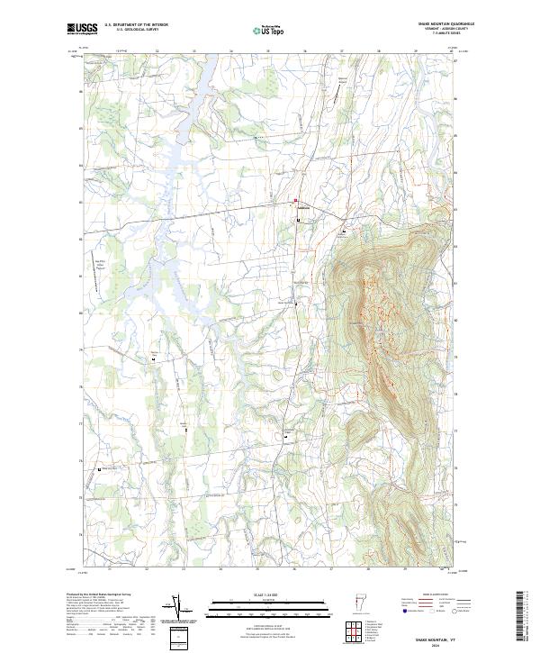
2024 Snake Mountain
Addison County, VT
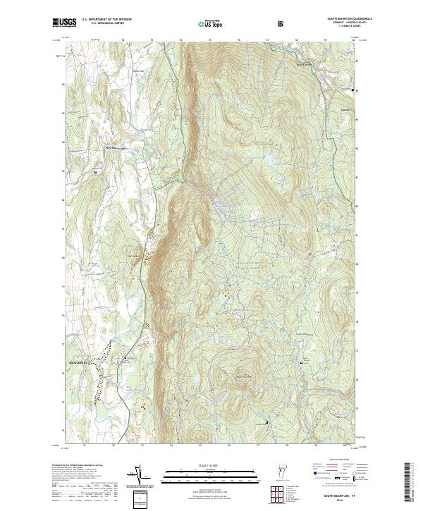
2024 South Mountain
Addison County, VT
2024 Vergennes East
Addison County, VT
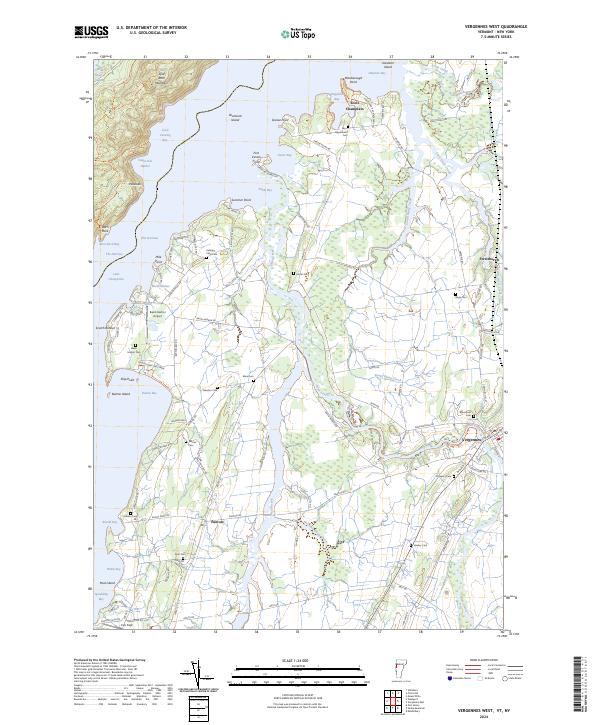
2024 Vergennes West
Addison County, VT