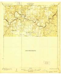
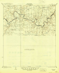
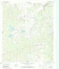
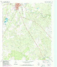
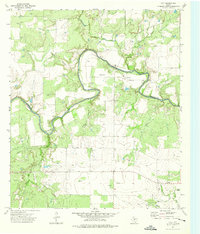
1928 Map of Waldrip
USGS Topo · Published 1928This historical map portrays the area of Waldrip in 1928, primarily covering McCulloch County as well as portions of Coleman County. Featuring a scale of 1:62500, this map provides a highly detailed snapshot of the terrain, roads, buildings, counties, and historical landmarks in the Waldrip region at the time. Published in 1928, it is one of 2 known editions of this map due to revisions or reprints.
Find a feature on this map
29 named features on this map. Tap any name to fly to it.
Don’t see what you’re looking for? This feature index may not catch every label — zoom into the map to look around manually.
Map Details
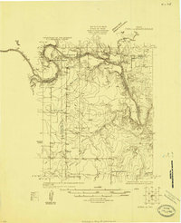
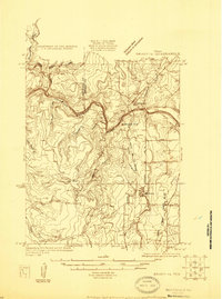
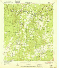
Editions of this 1928 Waldrip Map
2 editions found
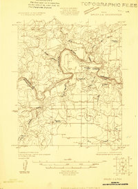
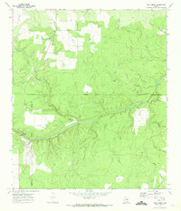
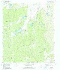
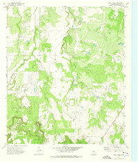
Historical Maps of Coleman County Through Time
20 maps found
1924 Eden 1-a
McCulloch County, TX
1925 Brady 1-b
McCulloch County, TX
1925 Brady 2-b
McCulloch County, TX

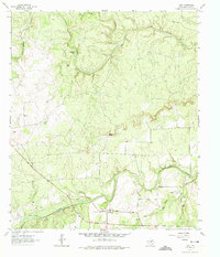
1928 Mercury
McCulloch County, TX
1928 Waldrip
McCulloch County, TX
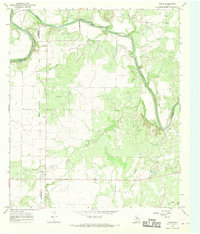
1950 Mercury
McCulloch County, TX
1960 Brady North
McCulloch County, TX
1960 West Sweden
McCulloch County, TX
1963 Brady SW
McCulloch County, TX
1963 Voca
McCulloch County, TX
1967 Doole
McCulloch County, TX
1967 Salt Gap
McCulloch County, TX
1970 Brady South
McCulloch County, TX
1970 Calf Creek
McCulloch County, TX
1970 Needle Creek
McCulloch County, TX
1973 Bluff Creek
McCulloch County, TX
1973 Fife
McCulloch County, TX
1973 Lohn
McCulloch County, TX
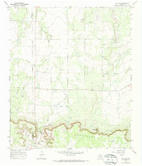
1979 Mercury
McCulloch County, TX
1979 Placid
McCulloch County, TX