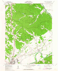
1961 Map of Waverly North
USGS Topo · Published 1963About this map
Scioto Trail State Forest dominates the high ground of northern Pike and southern Ross Counties in the early 1960s, a landscape defined by deep ridges and hollows like Cox Hollow and Long Branch Hollow. The Scioto River carves a broad valley to the east, flanked by the Norfolk and Western and Chesapeake and Ohio railroads. This era shows the expansion of Bristol Village and the industrial presence of several gravel pits near Waverly. The rural character of the region is preserved in numerous family and community landmarks, such as Hatfield Cem, Corwine Cem, and Sandy Chapel. Transportation patterns are anchored by the Blaine Highway and local routes like Clines Chapel Road, providing access to smaller settlements such as Alma, Antonis, and the riverside community of Omega.
Find a feature on this map
72 named features on this map. Tap any name to fly to it.
Don’t see what you’re looking for? This feature index may not catch every label — zoom into the map to look around manually.
Map Details
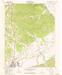
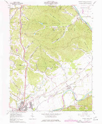
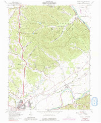
Editions of this 1961 Waverly North Map
4 editions found
Other maps of this area

1906 · Waverly
USGS Topo · 1:62,500

1906 · Chillicothe
USGS Topo · 1:62,500

1908 · Chillicothe
USGS Topo · 1:62,500

1908 · Waverly
USGS Topo · 1:62,500

1912 · Roxabell
USGS Topo · 1:62,500

1914 · Roxabell
USGS Topo · 1:62,500

1915 · Piketon
USGS Topo · 1:62,500

1917 · Piketon
USGS Topo · 1:62,500

1944 · Piketon
USGS Topo · 1:62,500

1944 · Roxabell
USGS Topo · 1:62,500