
1954 Map of West Duluth
USGS Topo · Published 1955About this map
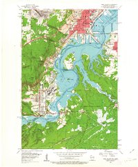
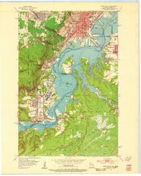
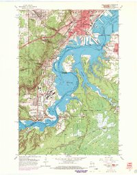
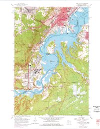
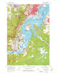
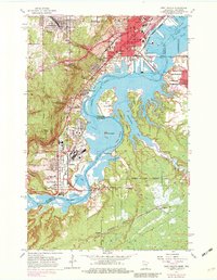
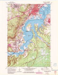
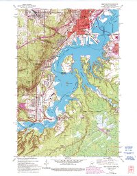
The St Louis River carves a complex boundary between Minnesota and Wisconsin in this mid-century portrait of industrial and residential growth. This landscape is defined by the heavy presence of the Duluth Missabe and Iron Range and the Northern Pacific railroads, which service the corridor from Proctor down through the planned industrial community of Morgan Park and into Steelton. The river widens into Spirit Lake, containing the prominent Clough Island and the smaller Spirit Island, while the western ridge is dominated by the steep ascent toward Bardon Peak.
Find a feature on this map
64 named features on this map. Tap any name to fly to it.
Don’t see what you’re looking for? This feature index may not catch every label — zoom into the map to look around manually.
Map Details
Editions of this 1954 West Duluth Map
9 editions found
Other maps of this area

1895 · Duluth
USGS Topo · 1:62,500

1915 · Superior
USGS Topo · 1:48,000

1917 · Superior
USGS Topo · 1:62,500

1953 · Adolph
USGS Topo · 1:24,000

1953 · Duluth
USGS Topo · 1:24,000

1953 · Duluth Heights
USGS Topo · 1:24,000

1953 · Duluth
USGS Topo · 1:62,500

1953 · Duluth
USGS Topo · 1:250,000

1954 · Borea
USGS Topo · 1:24,000

1954 · Sunnyside
USGS Topo · 1:24,000