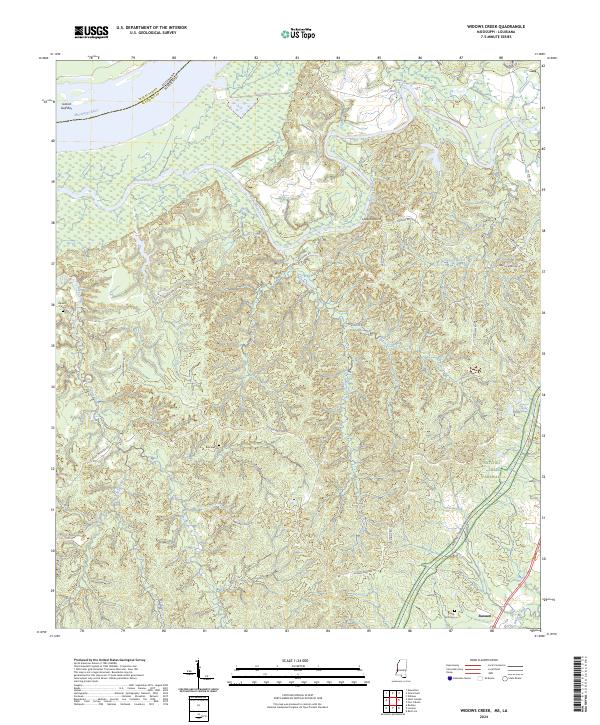
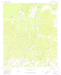
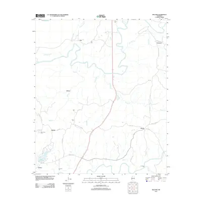
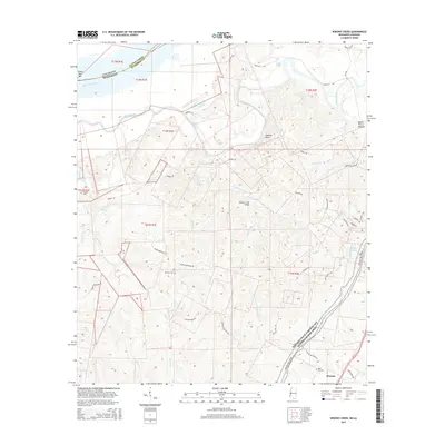
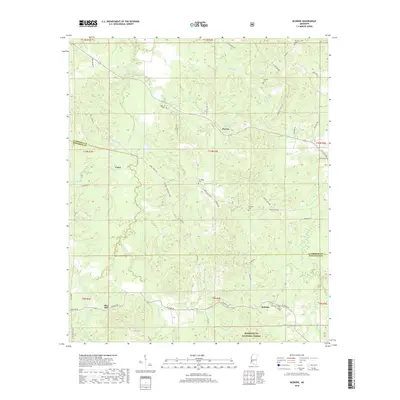
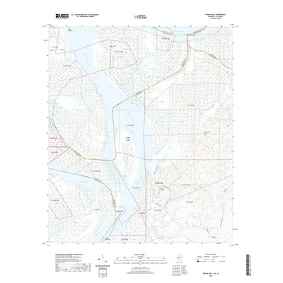
2024 Map of Widows Creek
USGS Topo · Published 2024About this map
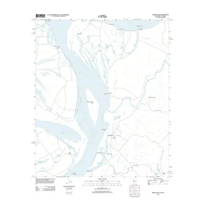
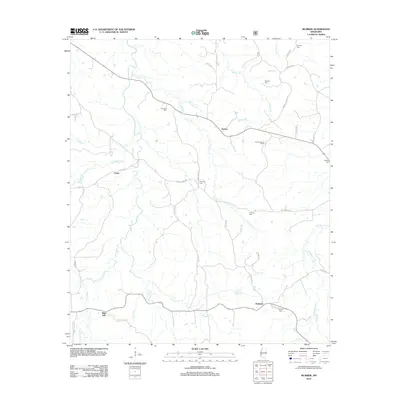
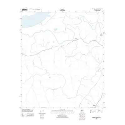
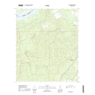
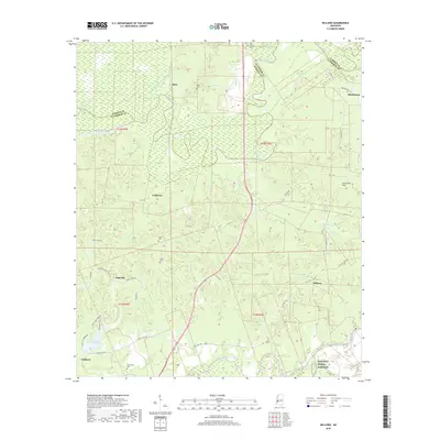
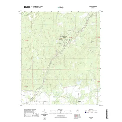
Bayou Pierre meanders through the heart of this Claiborne County landscape, where the alluvial bottomlands of the Mississippi River meet the rising interior bluffs. The river boundary at the Grand Gulf Bar defines the western edge of a region marked by intricate drainage systems, including Widows Creek and James Creek. In the southeast, the historic Natchez Trace Parkway cuts across the terrain, paralleling the settlement at Russum. Local history is anchored by several family-named landmarks and cemeteries, such as the Daniell Cem and Briscoe Cem, which reflect generations of settlement along rural routes like Rodney Rd and Old Colony Rd. The presence of Jacksons Spring and Lake Mille suggests a landscape defined by its water resources, vital for the early agricultural development of this Mississippi-Louisiana borderland.
Find a feature on this map
39 named features on this map. Tap any name to fly to it.
Don’t see what you’re looking for? This feature index may not catch every label — zoom into the map to look around manually.
Map Details
Editions of this 2024 Widows Creek Map
This is the sole edition of this map. No revisions or reprints were ever made.
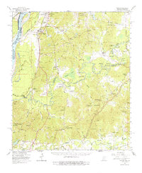
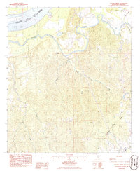
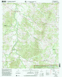
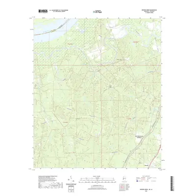
Historical Maps of Russum Through Time
32 maps found
1963 Carlisle
Claiborne County, MS
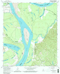
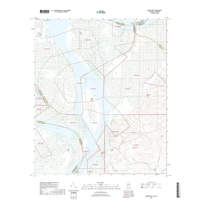
1963 Grand Gulf
Claiborne County, MS
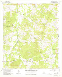
1963 McBride
Claiborne County, MS
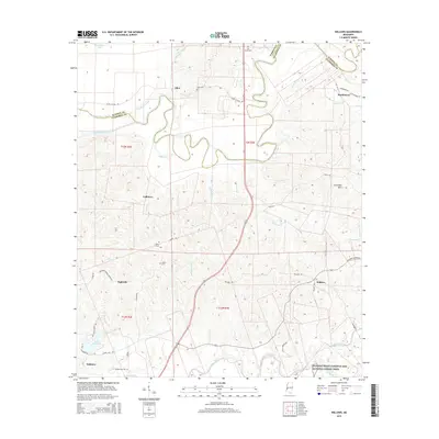
1963 Willows
Claiborne County, MS
1966 Yokena
Claiborne County, MS
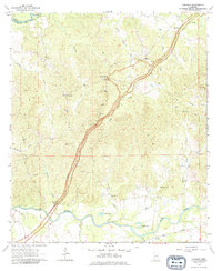
1986 Widows Creek
Claiborne County, MS
2000 McBride
Claiborne County, MS
2012 Carlisle
Claiborne County, MS
2012 Grand Gulf
Claiborne County, MS
2012 McBride
Claiborne County, MS
2012 Widows Creek
Claiborne County, MS
2012 Willows
Claiborne County, MS
2015 Carlisle
Claiborne County, MS
2015 Grand Gulf
Claiborne County, MS
2015 McBride
Claiborne County, MS
2015 Widows Creek
Claiborne County, MS
2015 Willows
Claiborne County, MS
2018 Carlisle
Claiborne County, MS
2018 Grand Gulf
Claiborne County, MS
2018 McBride
Claiborne County, MS
2018 Widows Creek
Claiborne County, MS
2018 Willows
Claiborne County, MS
2020 Carlisle
Claiborne County, MS
2020 Grand Gulf
Claiborne County, MS
2020 Widows Creek
Claiborne County, MS
2020 Willows
Claiborne County, MS
2021 McBride
Claiborne County, MS
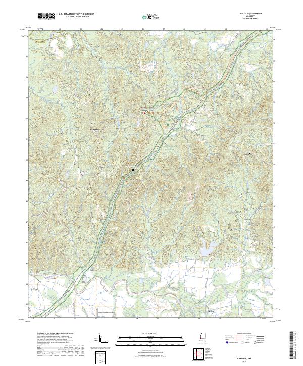
2024 Carlisle
Claiborne County, MS
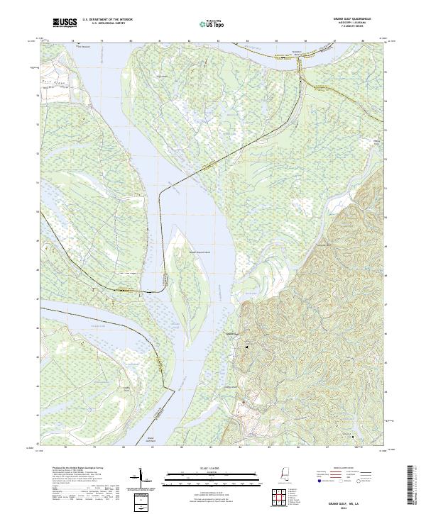
2024 Grand Gulf
Claiborne County, MS
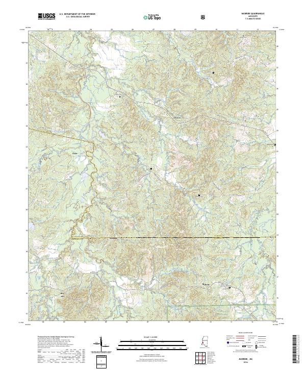
2024 McBride
Claiborne County, MS
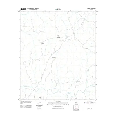
2024 Widows Creek
Claiborne County, MS
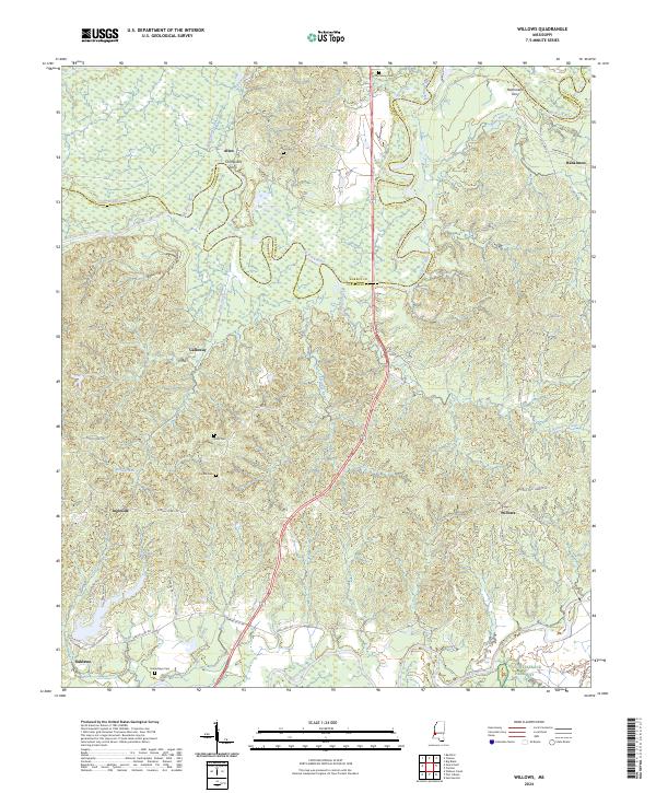
2024 Willows
Claiborne County, MS