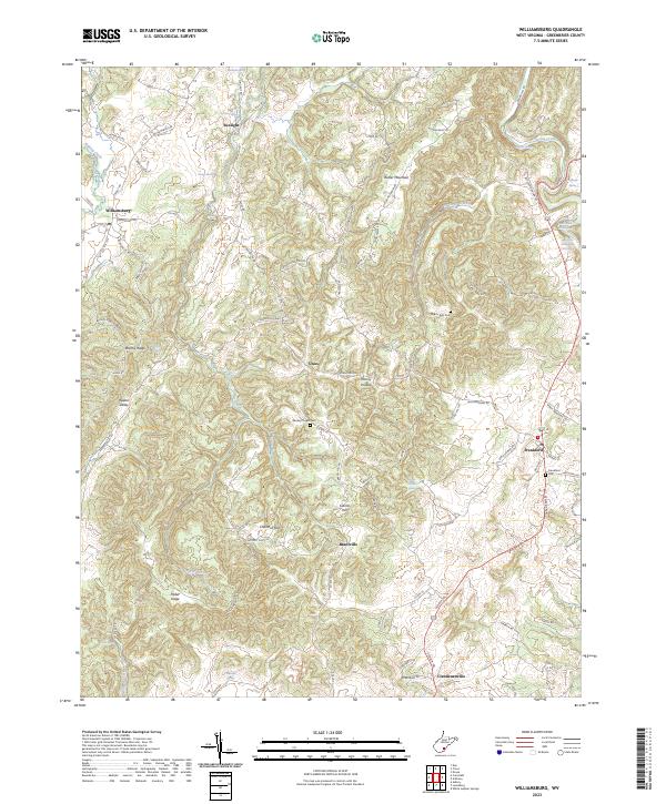
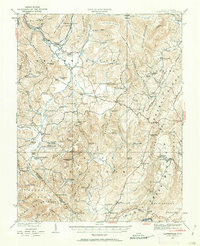
2023 Map of Williamsburg
USGS Topo · Published 2023About this map
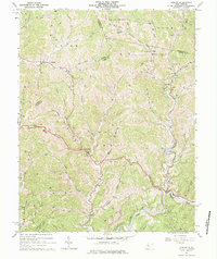
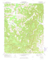
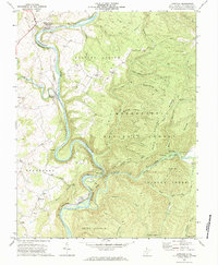
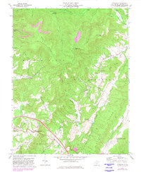
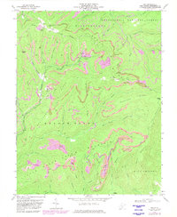
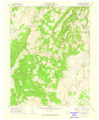
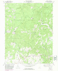
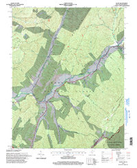
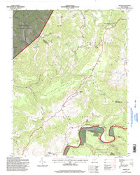
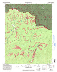
Williamsburg and Frankford serve as the primary anchors for this Greenbrier County landscape, where the topography is defined by intricate drainage systems and karst features. Small settlements such as Sunlight, Unus, and Brantville are connected by a network of rural routes like Frankford Rd and Unus Rd. The area is notably dense with natural springs, including the distinctive McFerrin Breakdown Cave Spring and Watts Black Cave Spring, indicating a complex subterranean water system typical of this West Virginia region.
Find a feature on this map
95 named features on this map. Tap any name to fly to it.
Don’t see what you’re looking for? This feature index may not catch every label — zoom into the map to look around manually.
Map Details
Editions of this 2023 Williamsburg Map
This is the sole edition of this map. No revisions or reprints were ever made.
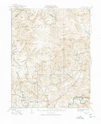
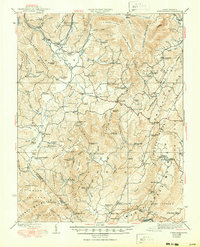
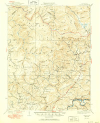
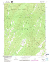
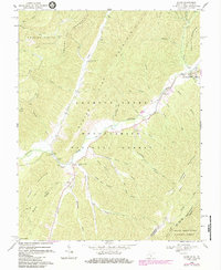
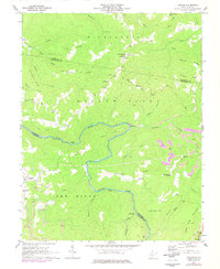
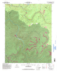
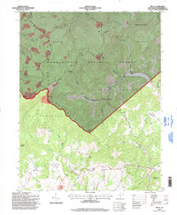
Historical Maps of Williamsburg Through Time
40 maps found

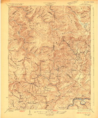
1921 Clintonville
Greenbrier County, WV
1923 Clintonville
Greenbrier County, WV
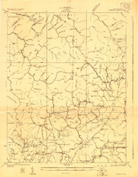
1923 Lobelia
Greenbrier County, WV
1925 Lobelia
Greenbrier County, WV
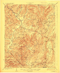
1935 Clintonville
Greenbrier County, WV
1935 Lobelia
Greenbrier County, WV
1939 Clintonville
Greenbrier County, WV
1939 Lobelia
Greenbrier County, WV
1964 Asbury
Greenbrier County, WV
1966 Glace
Greenbrier County, WV
1969 Alvon
Greenbrier County, WV
1969 Corliss
Greenbrier County, WV
1971 Dawson
Greenbrier County, WV
1972 Anthony
Greenbrier County, WV

1972 Asbury
Greenbrier County, WV
1972 Cornstalk
Greenbrier County, WV
1972 Duo
Greenbrier County, WV
1972 Williamsburg
Greenbrier County, WV
1973 Droop
Greenbrier County, WV
1977 Droop
Greenbrier County, WV
1977 Fork Mountain
Greenbrier County, WV
1977 Trout
Greenbrier County, WV
1995 Alvon
Greenbrier County, WV
1995 Anthony
Greenbrier County, WV
1995 Droop
Greenbrier County, WV
1995 Duo
Greenbrier County, WV
1995 Fork Mountain
Greenbrier County, WV
1995 Trout
Greenbrier County, WV
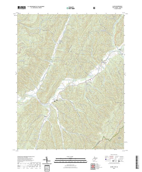
2023 Alvon
Greenbrier County, WV
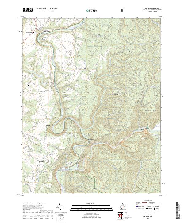
2023 Anthony
Greenbrier County, WV
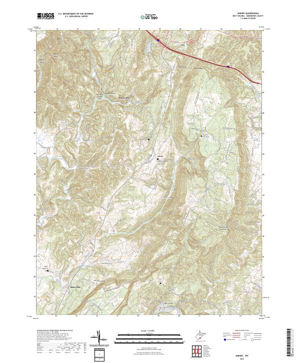
2023 Asbury
Greenbrier County, WV
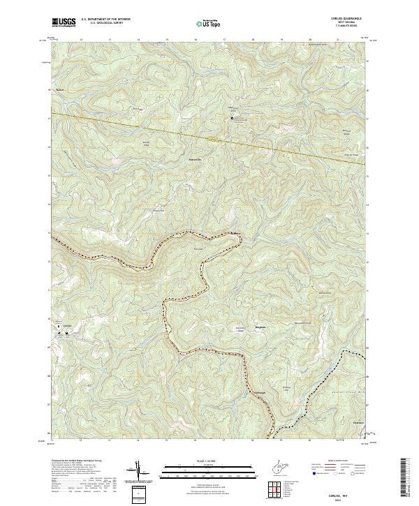
2023 Corliss
Greenbrier County, WV
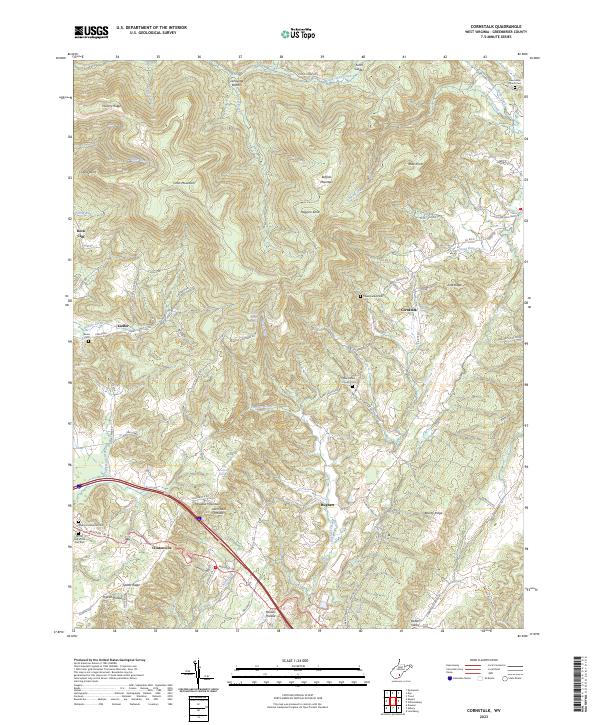
2023 Cornstalk
Greenbrier County, WV
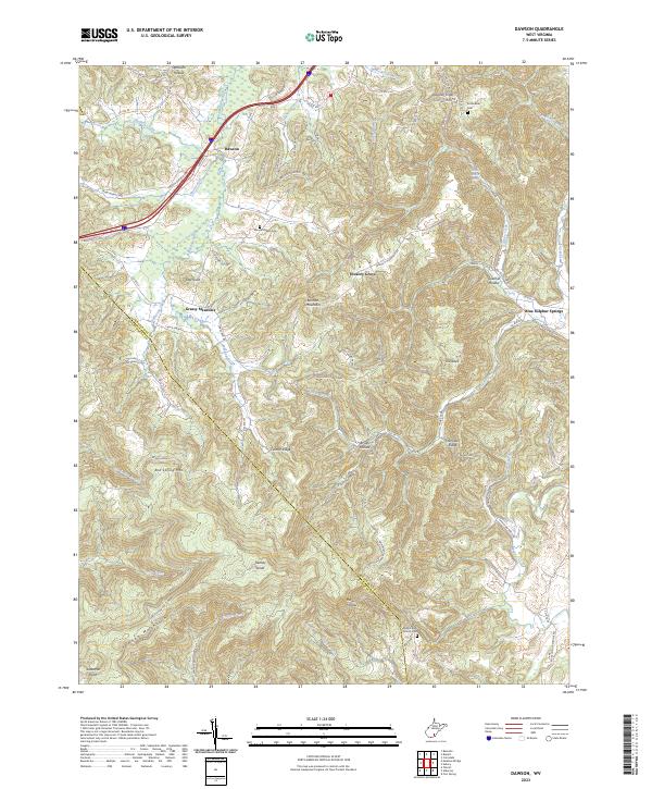
2023 Dawson
Greenbrier County, WV
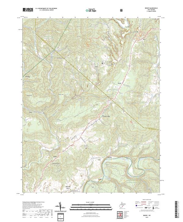
2023 Droop
Greenbrier County, WV
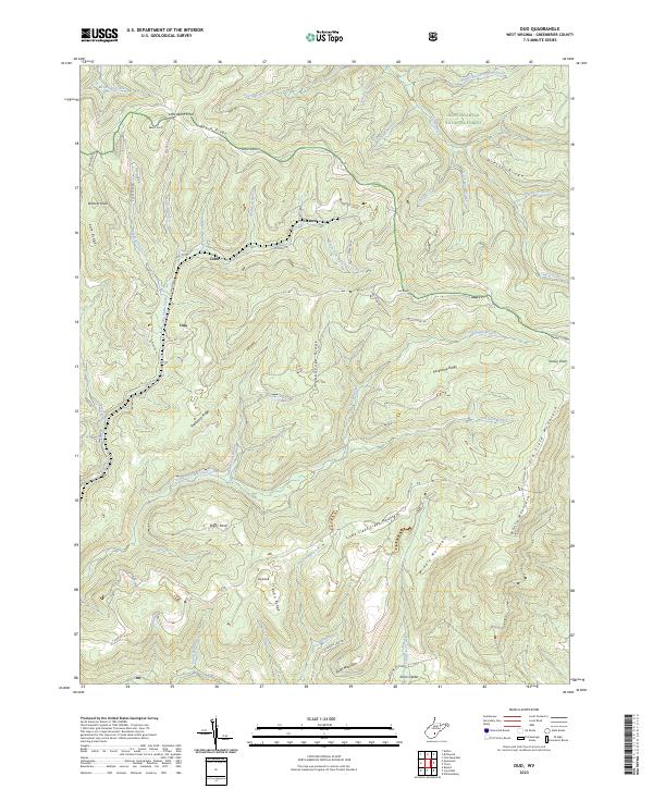
2023 Duo
Greenbrier County, WV
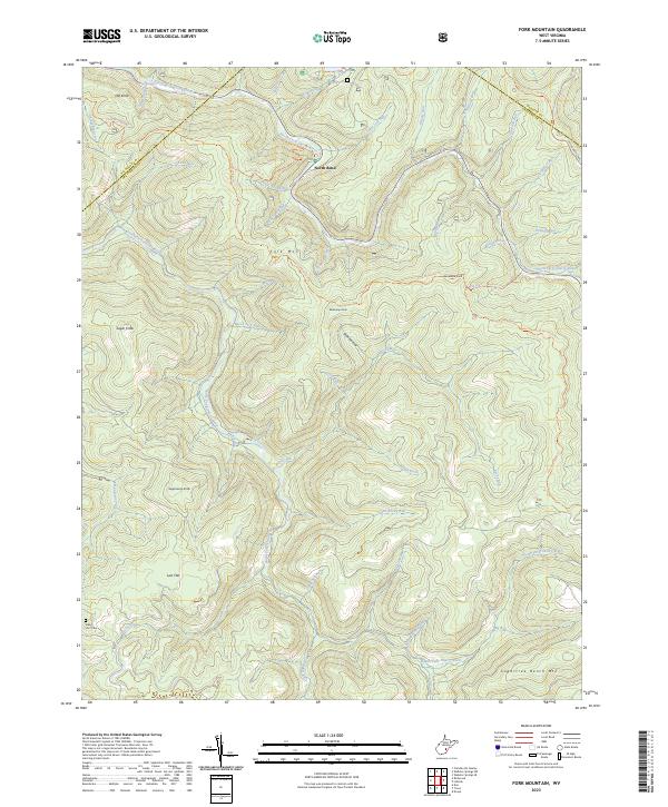
2023 Fork Mountain
Greenbrier County, WV
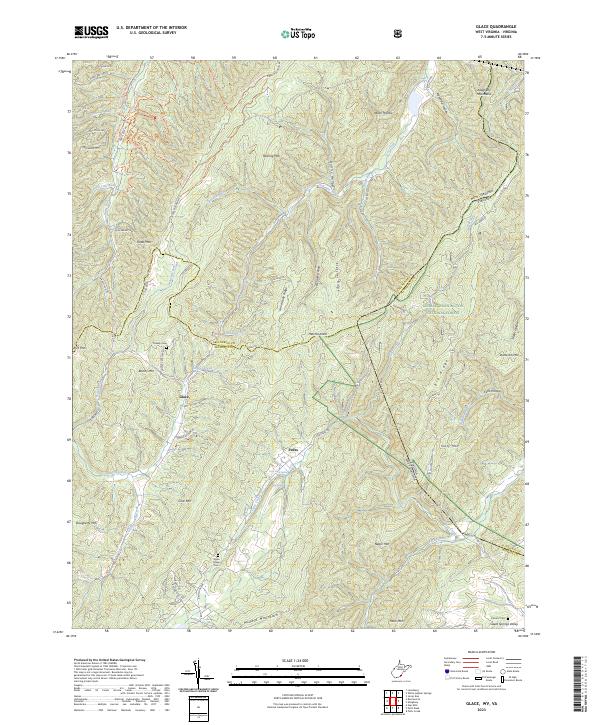
2023 Glace
Greenbrier County, WV
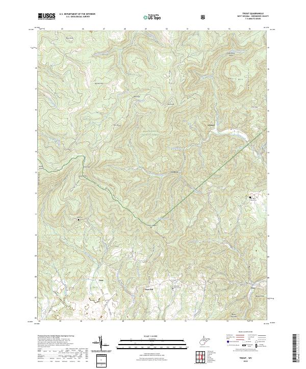
2023 Trout
Greenbrier County, WV
2023 Williamsburg
Greenbrier County, WV