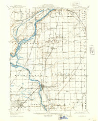
1918 Map of Wilmington
USGS Topo · Published 1937About this map
The Kankakee River and Des Plaines River converge in this Illinois landscape, creating a hub of early 20th-century transport and industry. The city of Wilmington serves as a primary center along the water, while the heavy presence of rail lines like the Chicago and Alton RR and the Atchison Topeka and Santa Fe RR speaks to the region's importance as a freight corridor. Of particular interest to local historians is the Old Indian Boundary Line, which cuts diagonally across the townships of Florence and Wilmington, marking an earlier era of frontier demarcation. Numerous country schools, such as the Red Brick School and Troutman Grove School, are scattered across the prairie, documenting the rural social structure before mid-century consolidation changed the local geography.
Find a feature on this map
99 named features on this map. Tap any name to fly to it.
Don’t see what you’re looking for? This feature index may not catch every label — zoom into the map to look around manually.
Map Details
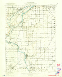
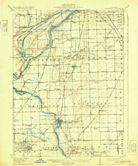
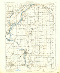
Editions of this 1918 Wilmington Map
5 editions found
Other maps of this area

1890 · Des Plaines
USGS Topo · 1:62,500

1892 · Morris
USGS Topo · 1:62,500

1892 · Joliet
USGS Topo · 1:62,500

1892 · Wilmington
USGS Topo · 1:62,500

1894 · Des Plaines
USGS Topo · 1:62,500

1900 · Des Plaines
USGS Topo · 1:62,500

1901 · Des Plaines
USGS Topo · 1:62,500

1918 · Wilmington
USGS Topo · 1:62,500

1918 · Morris
USGS Topo · 1:62,500

1922 · Kankakee
USGS Topo · 1:62,500