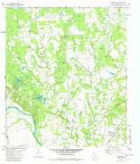
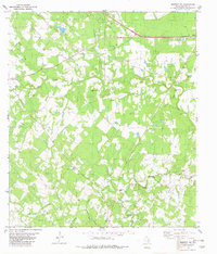
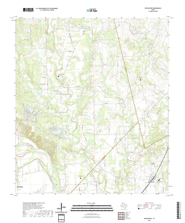
1982 Map of Winchester
USGS Topo · Published 1982This historical map portrays the area of Winchester in 1982, primarily covering Bastrop County as well as portions of Fayette County and Lee County. Featuring a scale of 1:24000, this map provides a highly detailed snapshot of the terrain, roads, buildings, counties, and historical landmarks in the Winchester region at the time. Published in 1982, it is the sole known edition of this map.
Find a feature on this map
36 named features on this map. Tap any name to fly to it.
Don’t see what you’re looking for? This feature index may not catch every label — zoom into the map to look around manually.
Map Details
Editions of this 1982 Winchester Map
This is the sole edition of this map. No revisions or reprints were ever made.
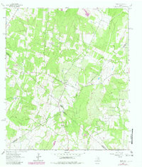
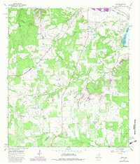
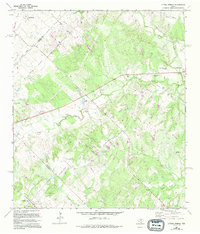
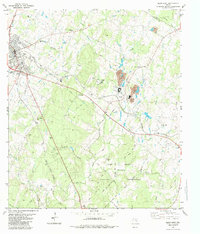
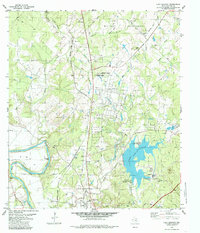
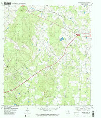
Historical Maps of Fayette County Through Time
18 maps found
1964 Jeddo
Bastrop County, TX
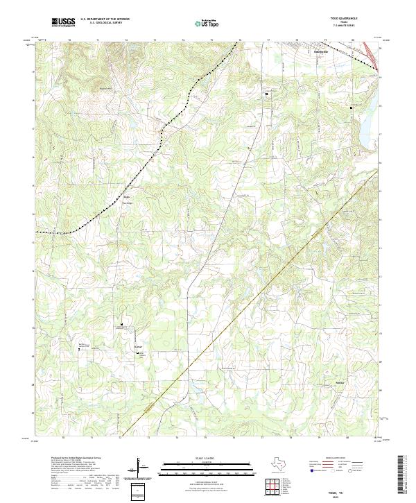
1964 Togo
Bastrop County, TX
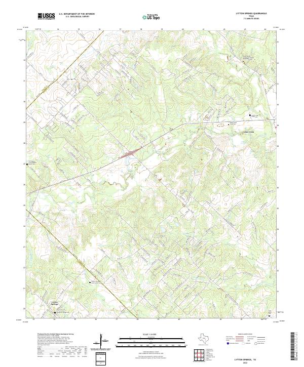
1968 Lytton Springs
Bastrop County, TX
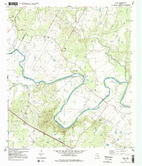
1982 Bastrop SW
Bastrop County, TX
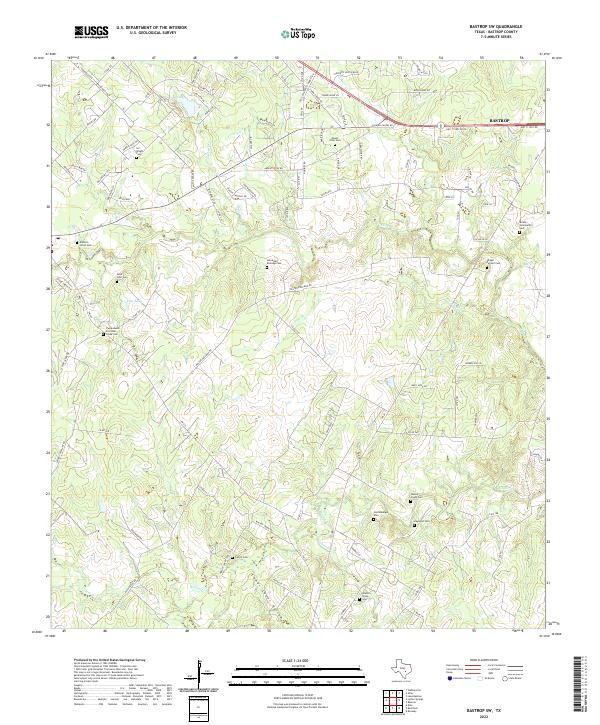
1982 Elgin East
Bastrop County, TX
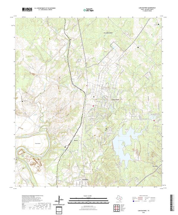
1982 Lake Bastrop
Bastrop County, TX
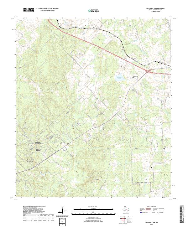
1982 Smithville NW
Bastrop County, TX
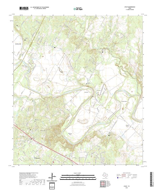
1982 Utley
Bastrop County, TX
1982 Winchester
Bastrop County, TX
2022 Bastrop SW
Bastrop County, TX
2022 Elgin East
Bastrop County, TX
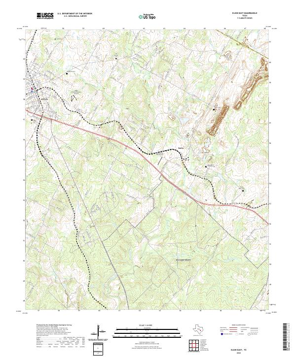
2022 Jeddo
Bastrop County, TX
2022 Lake Bastrop
Bastrop County, TX
2022 Lytton Springs
Bastrop County, TX
2022 Smithville NW
Bastrop County, TX
2022 Togo
Bastrop County, TX
2022 Utley
Bastrop County, TX
2022 Winchester
Bastrop County, TX