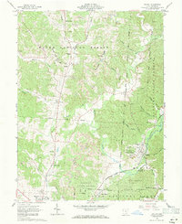
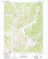
1961 Map of Zaleski
USGS Topo · Published 1971About this map
Zaleski serves as a central hub in the rugged hollows of Vinton County during the early 1960s, shaped by the rail corridors of the Baltimore And Ohio and Chesapeake And Ohio. The landscape is a complex weave of public lands, including the Wayne National Forest and Zaleski State Forest, where steep ridges like Pumpkin Ridge and Atkinson Ridge separate narrow valleys. Historical land use is visible in the numerous Strip Mine sites and a Gravel Pit along the Elk Fork, while an ancient Indian Mound near the town site points to a much deeper history of the area. Local social structures are well-documented through rural landmarks such as the County Childrens Home, Swan Sch, and several remote cemeteries including Wesley Chapel Cem and Prose Cem, providing valuable data for genealogical research in this coal-and-timber region.
Find a feature on this map
53 named features on this map. Tap any name to fly to it.
Don’t see what you’re looking for? This feature index may not catch every label — zoom into the map to look around manually.
Map Details
Editions of this 1961 Zaleski Map
5 editions found
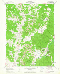
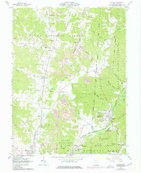
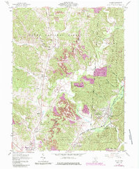
Other maps of this area

1904 · Zaleski
USGS Topo · 1:62,500

1905 · Wilkesville
USGS Topo · 1:62,500

1907 · Zaleski
USGS Topo · 1:62,500

1908 · Wilkesville
USGS Topo · 1:62,500

1910 · Laurelville
USGS Topo · 1:62,500

1912 · Laurelville
USGS Topo · 1:62,500

1913 · Jackson
USGS Topo · 1:62,500

1944 · Jackson
USGS Topo · 1:62,500

1944 · Laurelville
USGS Topo · 1:62,500

1947 · Columbus
USGS Topo · 1:250,000