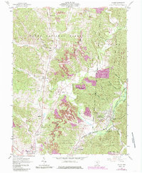
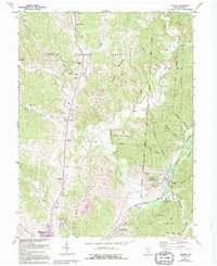
1961 Map of Zaleski
USGS Topo · Published 1985About this map
Zaleski serves as a central hub for this Vinton County landscape, where the Baltimore and Ohio railroad corridor traces the valley of Raccoon Creek. The terrain is characterized by the overlapping borders of the Wayne National Forest and Zaleski State Forest, reflecting a mid-century transition from resource extraction toward conservation and recreation. Extensive areas of reclaimed strip mine and active strip mines contrast with the natural topography of Bethel Ridge and Pumpkin Ridge. Local genealogy is anchored by numerous small burial grounds and rural institutions, including the Prose Cem, Swan Sch, and the County Childrens Home. Notable landmarks like the Vinton County Airport and a historic Indian Mound near the town center indicate a long span of human activity from pre-colonial times into the aviation era.
Find a feature on this map
56 named features on this map. Tap any name to fly to it.
Don’t see what you’re looking for? This feature index may not catch every label — zoom into the map to look around manually.
Map Details
Editions of this 1961 Zaleski Map
5 editions found
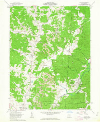
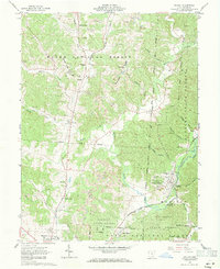
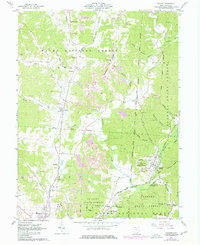
Other maps of this area

1904 · Zaleski
USGS Topo · 1:62,500

1905 · Wilkesville
USGS Topo · 1:62,500

1907 · Zaleski
USGS Topo · 1:62,500

1908 · Wilkesville
USGS Topo · 1:62,500

1910 · Laurelville
USGS Topo · 1:62,500

1912 · Laurelville
USGS Topo · 1:62,500

1913 · Jackson
USGS Topo · 1:62,500

1944 · Jackson
USGS Topo · 1:62,500

1944 · Laurelville
USGS Topo · 1:62,500

1947 · Columbus
USGS Topo · 1:250,000