2010s Maps of Greenlee County, Arizona
Explore 123 historic maps of Greenlee County from the 2010s. These maps offer a rare glimpse into what life looked like during the 2010s — showing old roads, neighborhoods, homes, and landmarks that have changed or disappeared over time.
Whether you're researching your family's past, planning a metal detecting trip, or studying how Greenlee County's landscape evolved across the 2010s, these high-resolution maps are a powerful tool for exploring the history of this region.
- Focus on a specific era: All maps on this page are from the 2010s, giving you a focused view of this time period.
- See what’s changed: Compare century-old streets, trails, and buildings to today's modern landscape using overlays and satellite layers.
- Research with precision: Use these maps for genealogy, historical research, land use analysis, or educational projects.
- View, download, or print: Maps are fully viewable online in high resolution, and can be downloaded or printed for your own records.
Start exploring Greenlee County's history through authentic maps from the 2010s. This is your window into the past.
Greenlee County, AZ maps
(123)- 2010 Map of Engine Mountain, 2010 Print
 2010 Engine Mountain2010 Print · USGSCochise County ranching and high desert drainage are captured here during the first decade of the new millennium. Researchers can trace the remote roads leading to Willow Springs Ranch and Horseshoe Ranch or locate the vital waters of Indian Spring.
 - 2010 Map of Goat Camp Spring, 2010 Print
 2010 Goat Camp Spring2010 Print · USGSThis high-desert borderland near Duncan was a landscape of remote ranching and seasonal washes in the early twenty-first century. Researchers can trace the isolated locations of Stevens Ranch, the waters of Goat Camp Spring, and the winding Goat Camp Loop.
 - 2010 Map of Round Mountain, 2010 Print
 2010 Round Mountain2010 Print · USGSArizona's border with New Mexico is mapped here at the start of the twenty-first century, highlighting a landscape defined by cattle ranching and water conservation. Researchers can locate remote landmarks such as the Lazy B Ranch Airstrip, Day Ranch, and the Stateline Dam.
 - 2010 Map of Duncan, 2010 Print
 2010 Duncan2010 Print · USGSThe Gila River valley at the Arizona-New Mexico border shows its agricultural heart during the early twenty-first century. Genealogists and local historians can trace family locations near Franklin, the Rainville Ranch, or the Duncan Cemetery.
 - 2011 Map of Tillie Hall Peak, 2011 Print
 2011 Tillie Hall Peak2011 Print · USGSThe high ranchlands and mining prospects of New Mexico’s border country are documented here in the early twenty-first century. Researchers can trace the layout of family holdings like Willis Ranch or locate specific claims at the Twin Peaks Mine.
 - 2011 Map of Maple Peak, 2011 Print
 2011 Maple Peak2011 Print · USGSGreenlee County ranching and rugged topography are documented here in the early twenty-first century. Researchers can trace land use through namesake features like Coalson Ranch, Smoothing Iron Camp, and numerous historic livestock sites like Morris Gap Corral.
 - 2011 Map of Alma Mesa, 2011 Print
 2011 Alma Mesa2011 Print · USGSThe Arizona-New Mexico borderlands come into focus in the early twenty-first century, showing a remote landscape defined by high mesas and canyon drainage. Genealogists and historians can trace family-named sites like Charlie Moore Place or locate working landmarks like Bedrock Corral and Stateline Camp.
 - 2011 Map of Maness Peak, 2011 Print
 2011 Maness Peak2011 Print · USGSThe ranching country of the Arizona-New Mexico border is documented here in the early twenty-first century. Genealogists and local historians can trace family-named sites like Luce Ranch, Blue Cemetery, and the School House near the Blue River.
 - 2011 Map of Luna Lake, 2011 Print
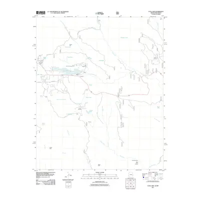 2011 Luna Lake2011 Print · USGSThe high timber country of eastern Arizona is documented here in the early twenty-first century as it balances ranching and recreation. Researchers can locate specific sites like the Alpine Timber Camp, the Double J Ranch, and the Luna Lake Marina.
 - 2011 Map of Big Lue Mountains, 2011 Print
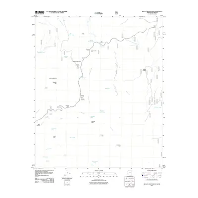 2011 Big Lue Mountains2011 Print · USGSThe high ranchlands and peaks of Grant County are documented here in the early twenty-first century. Researchers can locate remote outposts like Big Lue Ranch, seasonal sites like Coal Creek Campground, and numerous water features including Old Collett Tank.
 - 2011 Map of Blue, 2011 Print
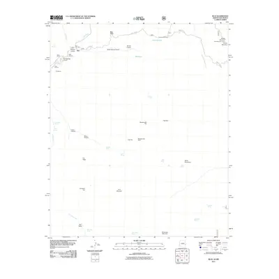 2011 Blue2011 Print · USGSThe high canyons and borderlands of Greenlee County are captured here in the early twenty-first century. Researchers can locate remote family sites like Marks Ranch and Jones Cemetery or trace the path of the Blue River.
 - 2011 Map of Harden Cienega, 2011 Print
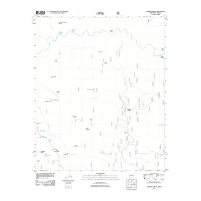 2011 Harden Cienega2011 Print · USGSThe high mesas and canyons of the New Mexico-Arizona borderlands are documented here during the early twenty-first century. Researchers can trace remote ranching infrastructure through various named sites like Harden Cienega, Arizona Antelope Corral, and Baldy Mountain.
 - 2011 Map of Mitchell Peak, 2011 Print
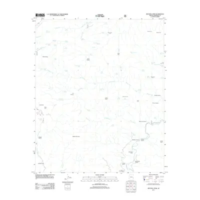 2011 Mitchell Peak2011 Print · USGSGreenlee County ranching and wilderness lands appear in detail in this modern survey of the Arizona high country. Researchers can trace the water sources and corrals essential to local history, from Mitchell Peak and Buck Park to the Saddle Corral.
 - 2011 Map of Alpine, 2011 Print
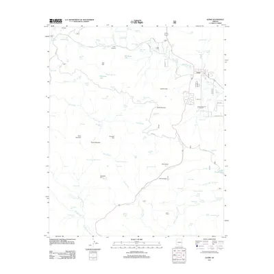 2011 Alpine2011 Print · USGSThe high-country settlement of Alpine is captured here during the early twenty-first century, surrounded by the headwaters of the San Francisco River. Researchers can trace old mountain routes like Forest Rte 81 and locate local landmarks including Noble Ranch and Judd Lake.
 - 2011 Map of Strayhorse, 2011 Print
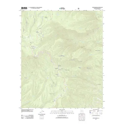 2011 Strayhorse2011 Print · USGSThe high backcountry of eastern Arizona is documented here in the early twenty-first century, centered on the Strayhorse outpost. Researchers can trace remote infrastructure including the Rattlesnake Basin Cabin, the Blue Peak Lookout, and the Strayhorse Forest Service Facility.
 - 2011 Map of Clifton, 2011 Print
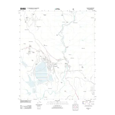 2011 Clifton2011 Print · USGSArizona's copper country is revealed in the early twenty-first century, showing the intersection of massive industrial mining and community life. Trace family history and land use through Metcalf Cemetery, the Tailings Water Reclamation Reservoir, and the winding banks of the San Francisco River.
 - 2011 Map of Orange Butte, 2011 Print
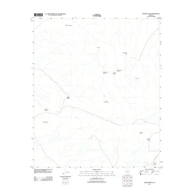 2011 Orange Butte2011 Print · USGSArizona's arid high desert and ranching outposts are documented in this recent survey of the Cochise County landscape. Researchers can trace the water infrastructure of the range through Indian Tanks and Bear Sign Tank, alongside historic sites like Old Camp.
 - 2011 Map of Buffalo Crossing, 2011 Print
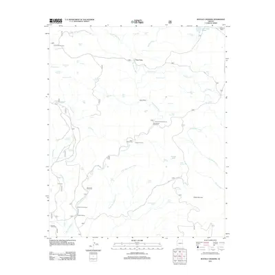 2011 Buffalo Crossing2011 Print · USGSApache County high country in the early 21st century reveals a landscape of isolated forest camps and critical water management. Trace the river-and-road connections between Buffalo Crossing, the historic Three Forks, and remote camps like Cienega Redondo Camp.
 - 2011 Map of Bee Canyon, 2011 Print
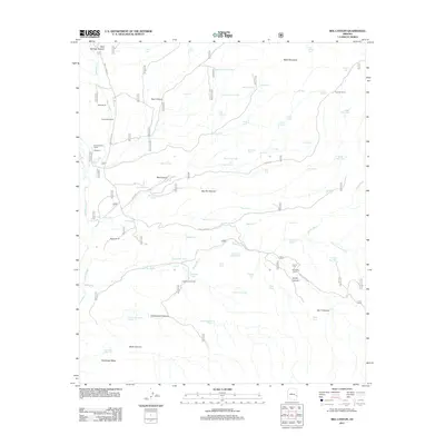 2011 Bee Canyon2011 Print · USGSArizona's canyon country in Graham County is documented here during the early twenty-first century, highlighting a landscape shaped by remote ranching operations. Genealogists and researchers can trace the locations of the Double Circle Ranch, Hicks Ranch, and Woolaroc.
 - 2011 Map of Baldy Bill Point, 2011 Print
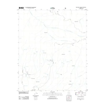 2011 Baldy Bill Point2011 Print · USGSGraham County’s high country is captured here during the early 2000s, showing a landscape defined by ranching heritage and wilderness management. Researchers can locate remote landmarks like Saunders Cabin, the Reno Lookout, and several historic stock pens such as McBride Corral.
 - 2011 Map of Ash Peak, 2011 Print
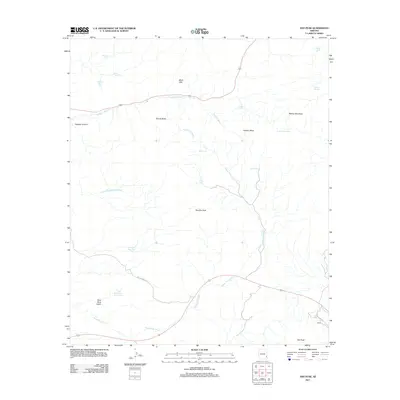 2011 Ash Peak2011 Print · USGSGraham County, Arizona, is captured here in the early twenty-first century, showcasing a landscape of high-desert peaks and essential water catchments. Researchers can locate the settlement of Hardy, trace the path of Old US Hwy 70, and identify landmarks like Rhyolite Peak and Harris Camp Spring.
 - 2011 Map of Hoodoo Knoll, 2011 Print
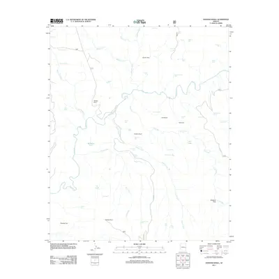 2011 Hoodoo Knoll2011 Print · USGSApache County high country is mapped here in the early twenty-first century, showing a landscape shaped by the Black River. Researchers can trace remote water sources and landmarks like Hoodoo Knoll, Bill Earl Spring, and Paradise Park.
 - 2011 Map of Fritz Canyon, 2011 Print
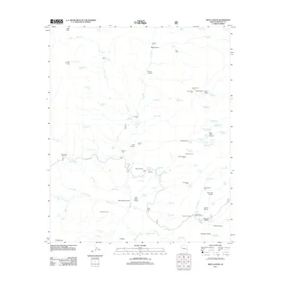 2011 Fritz Canyon2011 Print · USGSGreenlee County, Arizona, is depicted in the early 2010s as a landscape of remote ranching outposts and uniquely named desert springs. Researchers can find working cattle landmarks like Fritz Ranch and Stacy Ranch, or trace water sources like Black Coffee Spring and Lemonade Spring.
 - 2011 Map of Beaverhead, 2011 Print
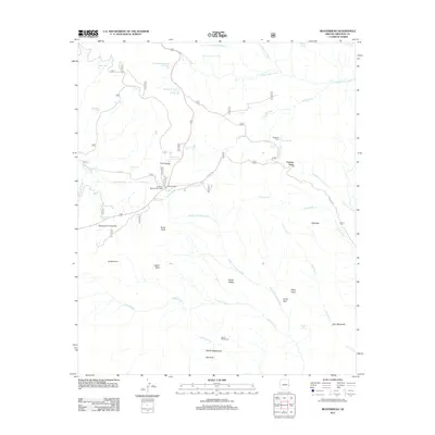 2011 Beaverhead2011 Print · USGSGreenlee County in the early twenty-first century reveals a high-country landscape of springs, tanks, and dispersed lodges. Local historians can trace water rights and land use through Tutt Cienega, Buckalou Corral, and Beaverhead Lodge.
 - 2011 Map of Dutch Blue Creek, 2011 Print
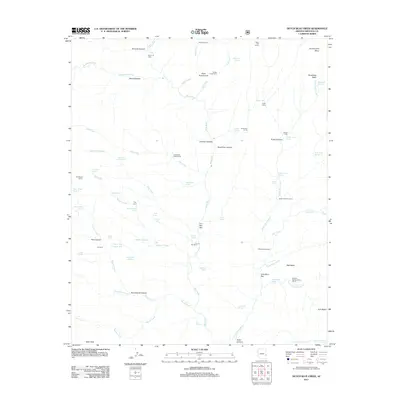 2011 Dutch Blue Creek2011 Print · USGSGreenlee County ranching and backcountry life are preserved here in the early twenty-first century. Researchers can trace historic land use and isolated dwellings such as H U Bar Ranch, Winter Cabin, and the thermal waters of Hannah Hot Spring.
Showing maps 1-25 of 123
Top cities of Greenlee County
Frequently asked questions
- What are the different types of historical maps available for Greenlee County?
- What is the oldest map of Greenlee County?
- Where can I purchase historical maps of Greenlee County for my home or office?
- Where can I download high-res historical maps of Greenlee County?
- Are there historical topographic maps available for Greenlee County?
- Is there historical aerial imagery available for Greenlee County?
- Where are historical maps of Greenlee County sourced from?