1930s Maps of California
Explore 316 historic maps of California from the 1930s. These maps offer a rare glimpse into what life looked like during the 1930s — showing old roads, neighborhoods, homes, and landmarks that have changed or disappeared over time.
Whether you're researching your family's past, planning a metal detecting trip, or studying how California's landscape evolved across the 1930s, these high-resolution maps are a powerful tool for exploring the history of this region.
- Focus on a specific era: All maps on this page are from the 1930s, giving you a focused view of this time period.
- See what’s changed: Compare century-old streets, trails, and buildings to today's modern landscape using overlays and satellite layers.
- Research with precision: Use these maps for genealogy, historical research, land use analysis, or educational projects.
- View, download, or print: Maps are fully viewable online in high resolution, and can be downloaded or printed for your own records.
Start exploring California's history through authentic maps from the 1930s. This is your window into the past.
California maps
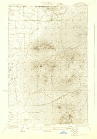
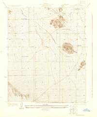
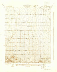
(316)- 1930 Map of Oban
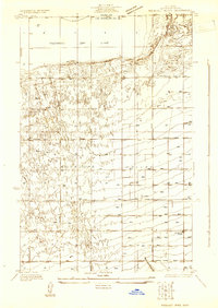
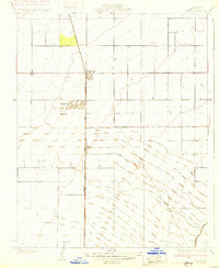
 1930 Oban1930 Print · USGSAntelope Valley was a landscape of remote rail sidings and scattered wells during the early 1930s. Genealogists and local historians can trace the early layout of Lancaster, the location of the Lancaster Airport, and the Southern Pacific rail corridor.
 - 1930 Map of Joshua
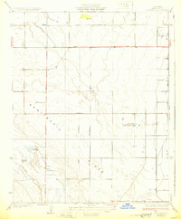
 1930 Joshua1930 Print · USGSAntelope Valley in the early 1930s is a landscape of high desert solitude and frontier surveying. Genealogists and desert historians can trace early tracks like Well Road and locate the remote settlement of Darrwin near the southern edge of Rogers Dry Lake.
 - 1930 Map of Weed Patch
 1930 Weed Patch1930 Print · USGSKern County farmland was rapidly expanding in the 1930s as irrigation networks transformed the valley floor. Genealogists and historians can trace the early layout of Weed Patch and the Vineland Sch along with the path of the Southern Pacific Railroad.
 - 1930 Map of Lovejoy Springs
 1930 Lovejoy Springs1930 Print · USGSAntelope Valley was a landscape of scattered homesteads and high-desert outposts in the early thirties. Researchers can trace the layout of early rural life near Wilsona Road, identifying the Wilsona Sch, the Yato Kya Desert Home, and Lovejoy Springs.
 - 1930 Map of Bear Mountain
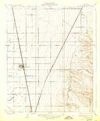
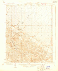
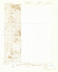
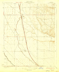
 1930 Bear Mountain1930 Print · USGSKern County's dramatic southern ascent is documented in the early 1930s as state and federal engineers charted the valley edge. Researchers can trace the steep topography of Bear Mountain and the initial path of the Boulevard near Sycamore Canyon.2 unique versions available
 - 1930 Map of McFarland
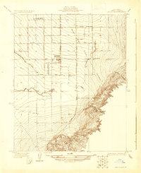
 1930 McFarland1930 Print · USGSThe San Joaquin Valley's agricultural heart is captured here in the late twenties as irrigation and rail lines transformed the landscape. Researchers can trace the development of McFarland and Jasmin along the Southern Pacific and the Golden State Highway.2 unique versions available
 - 1930 Map of Black Butte
 1930 Black Butte1930 Print · USGSAntelope Valley ranching life is frozen in time in the 1930s, showing a sparse network of family outposts and desert trails. Genealogists and historians can locate early homesteads like Hibbard Ranch and Brase Ranch or trace the old Palmdale-Victorville Road.
 - 1930 Map of Leonards
 1930 Leonards1930 Print · USGSKern County ranch land and sporting clubs appear in detail during the late 1920s as irrigation and power infrastructure expanded across the valley floor. Genealogists and historians can locate family-named sites like Goose Lake Ranch and the social hub of the Falcon Fliers Club.3 unique versions available
 - 1930 Map of Discovery Well
 1930 Discovery Well1930 Print · USGSOil exploration on the Kettleman North Hills Dome was just beginning when this 1930 survey was conducted along the Fresno and Kings county line. Researchers can trace the early industrial footprint of the region through the Discovery Well, Standard Oil Camp, and Milham City.2 unique versions available
 - 1930 Map of Arvin
 1930 Arvin1930 Print · USGSKern County agriculture and early oil exploration are documented here during the pre-war period. Researchers can trace the rail lines of the Southern Pacific Railroad and locate local landmarks like Rockpile Sch and the Lost Derrick.
 - 1930 Map of Avenal Gap
 1930 Avenal Gap1930 Print · USGSThe San Joaquin Valley oil country comes into focus in the early 1930s, showing the intersection of Kings and Kern Counties. Researchers can locate the community of Devils Den, its local Devils Den Sch, and the winding Coalinga Bakersfield Road.
 - 1930 Map of Roosevelt School
 1930 Roosevelt School1930 Print · USGSAntelope Valley was a landscape of emerging rural homesteads and early water development during the 1930s. Genealogists and historians can trace family-named landmarks like Peavey Road and Hahn Road or locate the community center at Roosevelt School.
 - 1930 Map of Hamlin School
 1930 Hamlin School1930 Print · USGSCentral Valley land development and sporting culture define this Kern County area in the late twenties. Researchers can trace early irrigation via the HOMELAND CANAL and locate family-named sites like the Wyoming Dairy Farm or the Hamlin School.
 - 1930 Map of Canoas Creek
 1930 Canoas Creek1930 Print · USGSThe Fresno and Kings county line area is captured here during the 1930s oil boom. Researchers can trace early industrial landmarks like the Discovery Well near Avenal and follow the route of the Coalinga and Bakersfield Road.
 - 1930 Map of Kettleman Plain
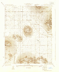
 1930 Kettleman Plain1930 Print · USGSKings County at the height of the early oil boom is captured in this detailed 1930 survey of the Kettleman North Dome. Researchers can trace the early industrial footprint of the region through the Oil Pumping Sta and various Oil Wells along the Coalinga Bakersfield Road.
 - 1930 Map of Wasco
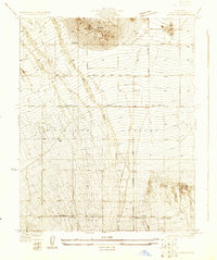
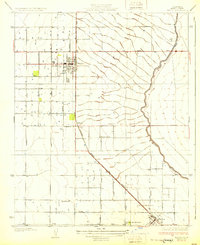 1930 Wasco1930 Print · USGSKern County farming and rail commerce are in full swing in the late 1920s. Genealogists can trace family footprints near Wasco, Shafter, and Hoover Ranch, or locate local landmarks like Maple Sch and the Seventh Day Adventist Ch.3 unique versions available
 - 1930 Map of El Mirage
 1930 El Mirage1930 Print · USGSThe high desert frontier along the Los Angeles and San Bernardino county line is captured here in the early thirties. Genealogists and desert historians can trace the isolated Walton Place and find early water sources like the lonely Well near Wilsona Road.
 - 1930 Map of Pond
 1930 Pond1930 Print · USGSKern County's industrial and rail corridor comes into focus in the late 1920s as the petroleum industry reshaped the valley floor. Researchers can trace the massive Standard Oil Co Storage Tanks at Petro and the small settlements of Pond and Elmo along the Santa Fe line.2 unique versions available
 - 1930 Map of Millux
 1930 Millux1930 Print · USGSKern County agricultural lands and reclaimed lake basins are captured in the early 1930s. Genealogists and historians can trace the irrigation network near the Southern Pacific rail line, including Millux, Paloma, and the Alexander Fish Ranch.
 - 1930 Map of Compton
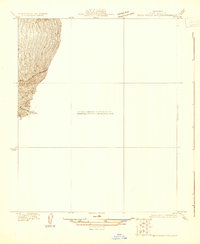
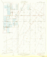
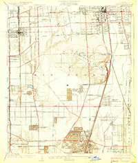 1930 Compton1930 Print · USGSThe South Bay and Gateway regions emerge as industrial powerhouses in this 1930s survey of the plains between Los Angeles and the coast. Trace the footprint of early oil operations at the Shell Oil Dominguez Refinery or locate community roots at the Gardena Japanese School and Woodlawn Cemetery.2 unique versions available
 - 1930 Map of Famoso
 1930 Famoso1930 Print · USGSThe San Joaquin Valley's agricultural heartland emerges here in the late Prohibition era, organized around vital irrigation and rail corridors. Researchers can trace the early paths of the Lerdo Canal and find small rail-side settlements like Famoso and Kimberlina.2 unique versions available
 - 1930 Map of Middle Dome
 1930 Middle Dome1930 Print · USGSKings County oil country comes into focus in 1930, capturing the landscape during the development of the West Side fields. Researchers can trace the early petroleum industry at the Discovery Well and follow the route of the Paso Robles Hanford Road across the Kettleman Hills.
 - 1930 Map of Little Rock
 1930 Little Rock1930 Print · USGSAntelope Valley in the early thirties reveals a developing high-desert agricultural landscape defined by citrus-named routes and irrigation. Researchers can trace the layout of the Almondale settlement or locate early desert infrastructure like the Little Rock Ditch and the Apple Blossom Highway.
 - 1930 Map of Llano
 1930 Llano1930 Print · USGSAntelope Valley in the early 1930s shows a desert landscape undergoing the first major shifts of modern settlement. Researchers can trace the early road network including the Palmdale Victorville Road, the isolated Desert Relief, and the prominent Lovejoy Buttes.
 - 1930 Map of Casa Desierta
 1930 Casa Desierta1930 Print · USGSAntelope Valley was a landscape of remote homesteads and desert roads during the early 1930s. Genealogists and desert historians can trace early community hubs like Antelope Sch, Redman Sch, and the network of life-sustaining wells near Buckhorn Dry Lake.
Showing maps 1-25 of 316
Top cities of California
- Los Angeles historical maps
- San Diego historical maps
- San Jose historical maps
- San Francisco historical maps
- Fresno historical maps
- Sacramento historical maps
See more
Top counties of California
- San Diego County historical maps
- Orange County historical maps
- San Bernardino County historical maps
- Santa Clara County historical maps
- Alameda County historical maps
- Sacramento County historical maps
See more
Frequently asked questions
- What are the different types of historical maps available for California?
- What is the oldest map of California?
- Where can I purchase historical maps of California for my home or office?
- Where can I download high-res historical maps of California?
- Are there historical topographic maps available for California?
- Is there historical aerial imagery available for California?
- Where are historical maps of California sourced from?