2020s Maps of California
Explore 3,004 historic maps of California from the 2020s. These maps offer a rare glimpse into what life looked like during the 2020s — showing old roads, neighborhoods, homes, and landmarks that have changed or disappeared over time.
Whether you're researching your family's past, planning a metal detecting trip, or studying how California's landscape evolved across the 2020s, these high-resolution maps are a powerful tool for exploring the history of this region.
- Focus on a specific era: All maps on this page are from the 2020s, giving you a focused view of this time period.
- See what’s changed: Compare century-old streets, trails, and buildings to today's modern landscape using overlays and satellite layers.
- Research with precision: Use these maps for genealogy, historical research, land use analysis, or educational projects.
- View, download, or print: Maps are fully viewable online in high resolution, and can be downloaded or printed for your own records.
Start exploring California's history through authentic maps from the 2020s. This is your window into the past.
California maps
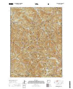
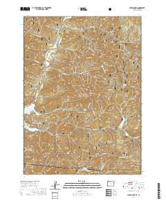
- 2020 Map of Hamaker Mountain, 2020 Print
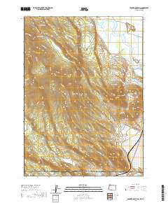 2020 Hamaker Mountain2020 Print · USGSCovers California, including Klamath County, Siskiyou County, and other nearby areas
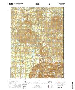
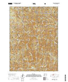
 - 2020 Map of Chicken Hills, 2020 Print
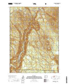 2020 Chicken Hills2020 Print · USGSCovers California, including Klamath County, Siskiyou County, and other nearby areas
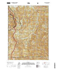
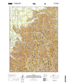
 - 2020 Map of Siskiyou Peak, 2020 Print
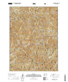 2020 Siskiyou Peak2020 Print · USGSCovers California, including Jackson County, Siskiyou County, and other nearby areas
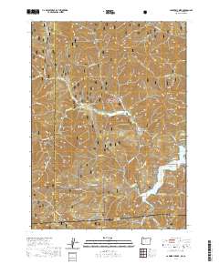
 - 2020 Map of Soda Mountain, 2020 Print
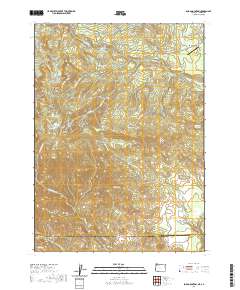 2020 Soda Mountain2020 Print · USGSCovers California, including Mountain View, Lincoln, and other nearby areas
 - 2020 Map of Dutchman Peak, 2020 Print
 2020 Dutchman Peak2020 Print · USGSCovers California, including Jackson County, Siskiyou County, and other nearby areas
 - 2020 Map of Mule Hill, 2020 Print
 2020 Mule Hill2020 Print · USGSCovers California, including Klamath County, Siskiyou County, and other nearby areas
 - 2020 Map of Siskiyou Pass, 2020 Print
 2020 Siskiyou Pass2020 Print · USGSCovers California, including Jackson County, Siskiyou County, and other nearby areas
 - 2020 Map of Carberry Creek, 2020 Print
 2020 Carberry Creek2020 Print · USGSCovers California, including Jackson County, Josephine County, and other nearby areas
 - 2020 Map of Mule Mountain, 2020 Print
 2020 Mule Mountain2020 Print · USGSCovers California, including Jackson County, Siskiyou County, and other nearby areas
 - 2020 Map of Oregon Caves, 2020 Print
 2020 Oregon Caves2020 Print · USGSCovers California, including Josephine County, Siskiyou County, and other nearby areas
 - 2020 Map of Takilma, 2020 Print
 2020 Takilma2020 Print · USGSCovers California, including Takilma, Josephine County, and other nearby areas
 - 2021 Map of Parker, 2021 Print
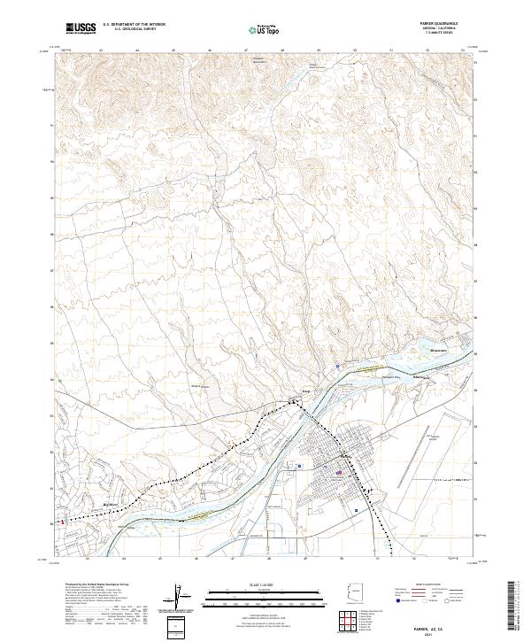 2021 Parker2021 Print · USGSThe Colorado River borderlands in the early 2020s reveal a landscape defined by desert water management and the growth of the Parker community. Trace the intricate desert canals near Big River or locate the La Paz County Courthouse and Avi Suquilla Airport.
 - 2021 Map of Mule Wash, 2021 Print
 2021 Mule Wash2021 Print · USGSThe Lower Colorado River desert comes into focus in this recent survey of the Arizona-California borderlands. Researchers can trace the drainage patterns of Mule Wash and Crazy Woman Wash or study the irrigation network of the Palo Verde Valley near LEVEE RD.
 - 2021 Map of Cibola, 2021 Print
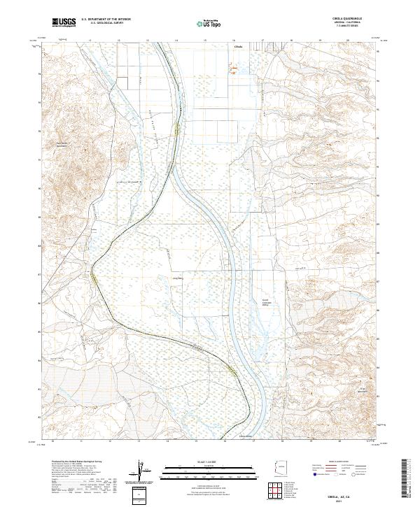 2021 Cibola2021 Print · USGSThe Lower Colorado River basin comes to life in this survey of the Arizona-California borderlands, detailing the irrigated fields of the Cibola Valley. Researchers can trace the agricultural footprint of Cibola and Long Bend or follow remote desert tracks like Hart Mine Rd.
 - 2021 Map of Lake Havasu City South, 2021 Print
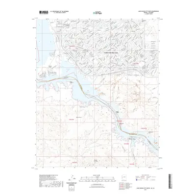 2021 Lake Havasu City South2021 Print · USGSCovers California, including Lake Havasu City, Copper Canyone, and other nearby areas
 - 2021 Map of Standard Wash, 2021 Print
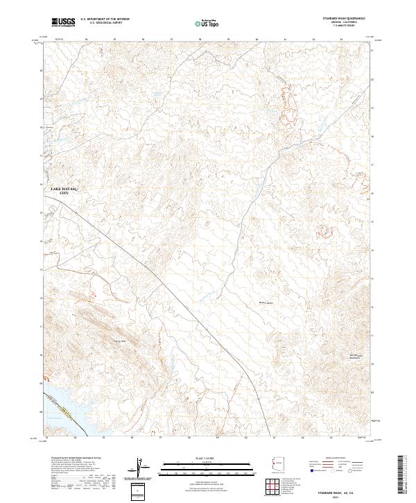 2021 Standard Wash2021 Print · USGSThe desert landscape south of Lake Havasu City comes into focus in this contemporary survey, showing the expansion of Arizona's desert communities. Trace the deep desert drainages of Standard Wash and Mockingbird Wash, or locate isolated water sources like Gold Spring and Screwbean Spring.
 - 2021 Map of Laguna Dam, 2021 Print
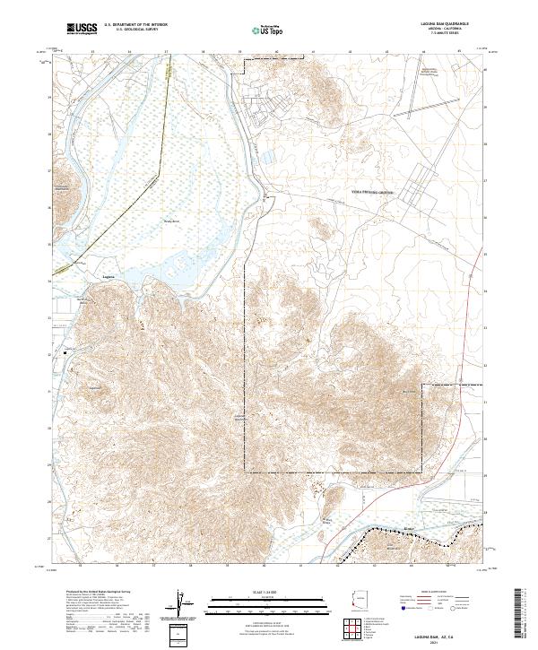 2021 Laguna Dam2021 Print · USGSThe arid borderlands of the Colorado River come into focus in this contemporary survey of the Yuma region. Researchers can trace the massive All-American Canal and locate local landmarks such as Laguna Cem and the McPhaul Bridge.
 - 2021 Map of Imperial Reservoir, 2021 Print
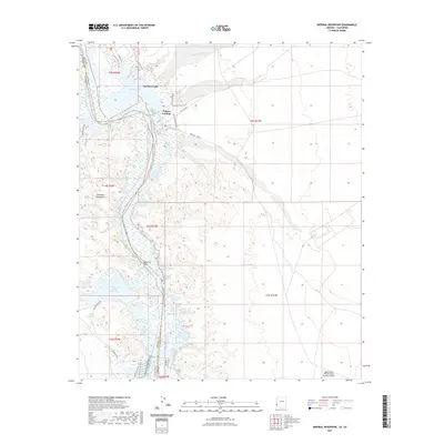 2021 Imperial Reservoir2021 Print · USGSCovers California, including Martinez Lake, Castle Dome Landing, and other nearby areas
 - 2021 Map of Poston, 2021 Print
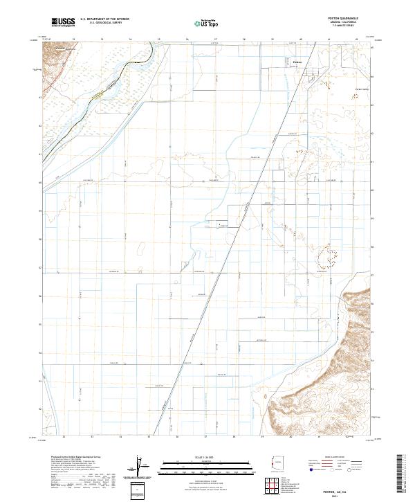 2021 Poston2021 Print · USGSPoston and the surrounding Parker Valley are shown in detail as they appeared in 2021. Genealogists and historians can trace the irrigation network from Leupp Lateral to Mesa Drain and locate local landmarks like 50 Homes Rd.
 - 2021 Map of Red Hill SW, 2021 Print
 2021 Red Hill SW2021 Print · USGSLa Paz and Yuma counties meet in this desert landscape as it appeared in 2021, featuring the southern reaches of the Chocolate Mountains. Researchers can trace old routes like Red Cloud Rd and Painted Desert Trl across the expansive McAllister Wash.
 - 2021 Map of La Paz Mountain, 2021 Print
 2021 La Paz Mountain2021 Print · USGSThe arid borderlands of Arizona and California are captured here in the early twenty-first century. Researchers can trace the desert topography through Sunshine Gulch, the heights of La Paz Mtn, and the course of Goodman Slough.
 - 2021 Map of Castle Rock, 2021 Print
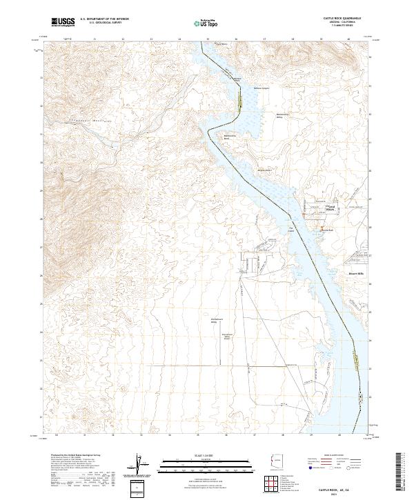 2021 Castle Rock2021 Print · USGSThe Colorado River corridor near the Arizona-California border comes into focus in this contemporary survey of the Lake Havasu region. Trace the shoreline communities of Crystal Beach and Desert Hills, or locate landmarks like the Chemehuevi Valley Airport and Mohave Canyon.
 - 2021 Map of Topock, 2021 Print
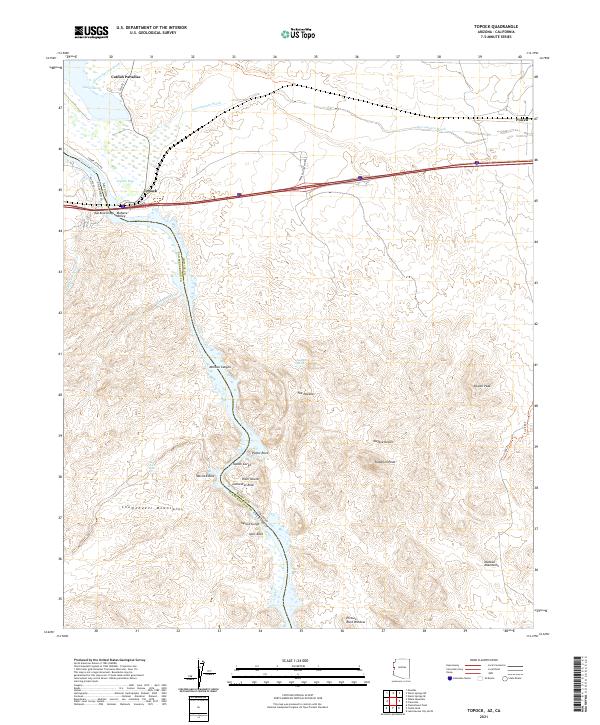 2021 Topock2021 Print · USGSThe Arizona-California border at the Colorado River is mapped here during the early twenty-first century. Researchers can trace the legacy of travel and terrain from Hist Rte 66 and Red Rock Bridge to landmarks like The Needles and Catfish Paradise.
 - 2021 Map of Yuma West, 2021 Print
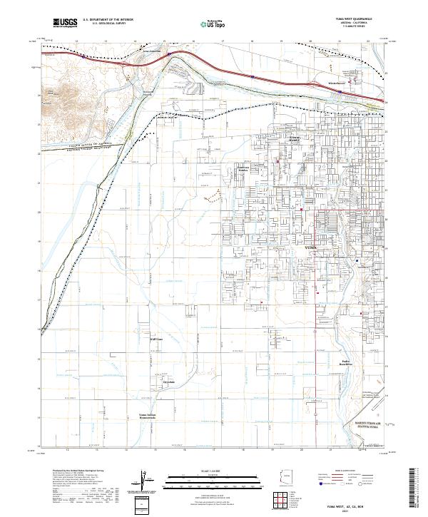 2021 Yuma West2021 Print · USGSThe Arizona-California borderlands are seen here at a modern peak of irrigation and infrastructure, where the Colorado River's legacy shapes the desert. Researchers can trace family sites at the Yuma Indian Homesteads and explore the rail-and-water history of Winterhaven and Araz Junction.
 - 2021 Map of Yuma East, 2021 Print
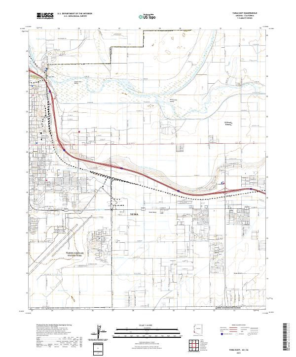 2021 Yuma East2021 Print · USGSThe Yuma riverfront and its surrounding desert mesas are shown here in the contemporary era. Researchers can trace the modern layout of the city alongside historic sites like Prison Hill, the Yuma Pioneer Cem, and the extensive S-Gila Valley Main Canal.
Showing maps 1-25
Top cities of California
- Los Angeles historical maps
- San Diego historical maps
- San Jose historical maps
- San Francisco historical maps
- Fresno historical maps
- Sacramento historical maps
See more
Top counties of California
- San Diego County historical maps
- Orange County historical maps
- San Bernardino County historical maps
- Santa Clara County historical maps
- Alameda County historical maps
- Sacramento County historical maps
See more
Frequently asked questions
- What are the different types of historical maps available for California?
- What is the oldest map of California?
- Where can I purchase historical maps of California for my home or office?
- Where can I download high-res historical maps of California?
- Are there historical topographic maps available for California?
- Is there historical aerial imagery available for California?
- Where are historical maps of California sourced from?