2000s (21st Century) Maps of Amador County, California
Explore 116 historic maps of Amador County from the 2000s (21st Century). These maps offer a rare glimpse into what life looked like during the 2000s — showing old roads, neighborhoods, homes, and landmarks that have changed or disappeared over time.
Whether you're researching your family's past, planning a metal detecting trip, or studying how Amador County's landscape evolved across the 2000s, these high-resolution maps are a powerful tool for exploring the history of this region.
- Focus on a specific era: All maps on this page are from the 2000s, giving you a focused view of this time period.
- See what’s changed: Compare century-old streets, trails, and buildings to today's modern landscape using overlays and satellite layers.
- Research with precision: Use these maps for genealogy, historical research, land use analysis, or educational projects.
- View, download, or print: Maps are fully viewable online in high resolution, and can be downloaded or printed for your own records.
Start exploring Amador County's history through authentic maps from the 2000s. This is your window into the past.
Amador County, CA maps
(116)- 2001 Map of Devils Nose, 2004 Print
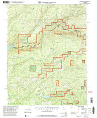 2001 Devils Nose2004 Print · USGSThe Amador and Calaveras county line at the start of the millennium highlights a landscape of high ridges and hydroelectric infrastructure. Researchers can trace the rugged water systems from the Tiger Creek Reservoir to the Mokelumne River, while locating secluded spots like Whitmore Meadow and Boston Flat.
 - 2001 Map of Tamarack, 2004 Print
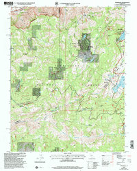 2001 Tamarack2004 Print · USGSHigh Sierra recreation and pioneer history meet in this early 2000s survey of the Stanislaus National Forest. Genealogists and historians can trace the Emigrant Trail and the Bloods Toll Sta Hist Site alongside developments like Sherman Acres.2 unique versions available
 - 2001 Map of Calaveras Dome, 2004 Print
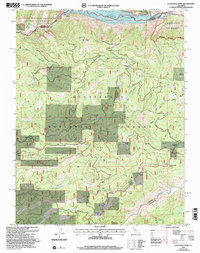 2001 Calaveras Dome2004 Print · USGSThe High Sierra backcountry near the Amador and Calaveras border comes to life in this era of forest management and water engineering. Trace high-altitude landmarks and resource sites from Cuneo Camp and Ganns to the Shovel Grave Quarry.
 - 2001 Map of Garnet Hill, 2004 Print
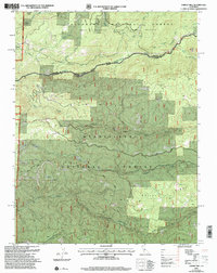 2001 Garnet Hill2004 Print · USGSThe Sierra Nevada foothills come into focus at the turn of the millennium where the Amador and Calaveras county lines meet. Researchers can trace historic mining activity at Moore Mine or follow the winding North Fork Mokelumne River and Licking Fork.
 - 2012 Map of Rail Road Flat, 2012 Print
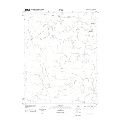 2012 Rail Road Flat2012 Print · USGSCalaveras County hill country comes into focus in this early twenty-first-century survey. Genealogists and local historians can trace the foundations of Rail Road Flat and Glencoe while identifying family-named landmarks like Alabama Hill and Norwich Mine Rd.
 - 2012 Map of Mokelumne Hill, 2012 Print
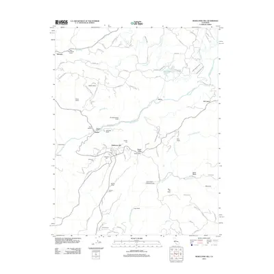 2012 Mokelumne Hill2012 Print · USGSThe Mother Lode foothills come into focus in the early twenty-first century, showcasing a landscape of ranching and water engineering. Trace local history through family-named landmarks like McSorley Ranch and the gold-era echoes of Mokelumne Hill and Jesus Maria.
 - 2012 Map of Irish Hill, 2012 Print
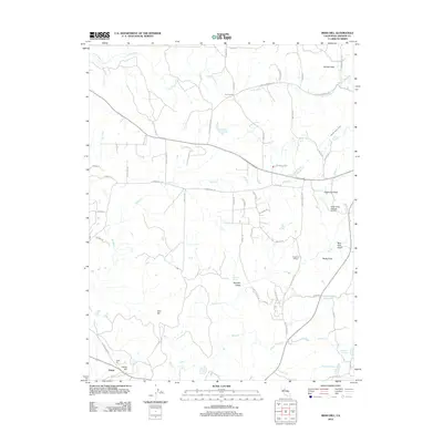 2012 Irish Hill2012 Print · USGSAmador County at the start of the 2010s reveals a landscape of historic gulches and modern agricultural land. Researchers can trace the drainage of Willow Cr and find local landmarks such as Spanish Spring, Edwin, and the Argonaut Winery.
 - 2012 Map of Valley Springs, 2012 Print
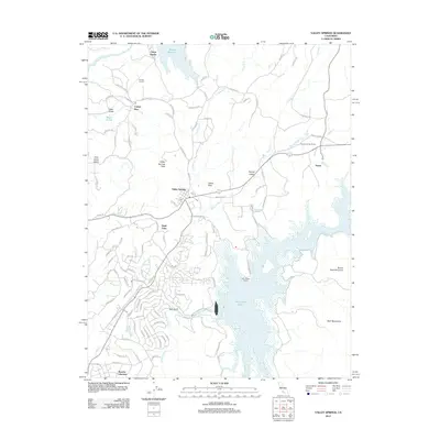 2012 Valley Springs2012 Print · USGSCalaveras County's water-management landscape comes into focus during the early twenty-first century as suburban growth meets rugged terrain. You can trace the complex shoreline of New Hogan Lake or locate the infrastructure at Camp Pardee and the Pardee Tunnel.
 - 2012 Map of Pine Grove, 2012 Print
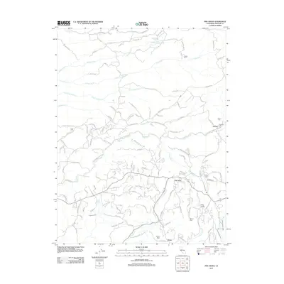 2012 Pine Grove2012 Print · USGSAmador County communities like Volcano and Pine Grove are shown at the start of the 2010s, nestled between foothill ridges. Researchers can trace local lineage at the Catholic Cem or explore the paths of the Amador Canal and Suckertown Rd.
 - 2012 Map of Latrobe, 2012 Print
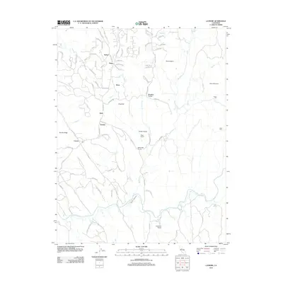 2012 Latrobe2012 Print · USGSEl Dorado County was home to a network of rural settlements and high-country landmarks in the early 21st century. Genealogists and historians can trace the locations of the Chinese Cem, the winding path of the Cosumnes River, and local hubs like Latrobe and Dugan.
 - 2012 Map of Aukum, 2012 Print
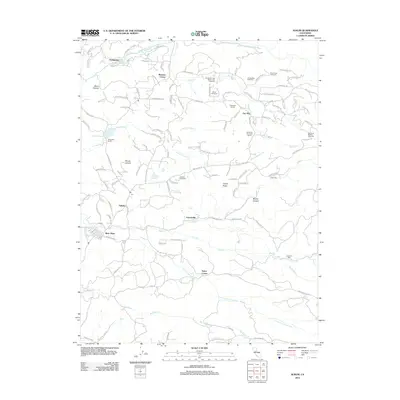 2012 Aukum2012 Print · USGSThe Amador County foothills appear here during a period of agricultural growth and rural settlement. Researchers can trace the development of small communities like Aukum, Fair Play, and River Pines, while locating rural landmarks such as Lawrence Mill and the Seven Up Bar Guest Ranch.
 - 2012 Map of Carbondale, 2012 Print
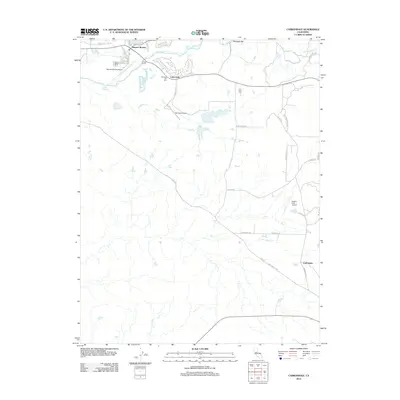 2012 Carbondale2012 Print · USGSThe Sacramento County foothills appear in the early 2010s as a blend of residential growth and historic crossroads. Researchers can trace local heritage through the Michigan Bar Cem, the settlement at Bridge House, and the namesake site of Carbondale.
 - 2012 Map of Folsom SE, 2012 Print
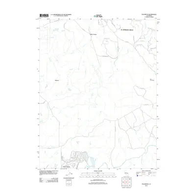 2012 Folsom SE2012 Print · USGSEl Dorado County and Sacramento County are captured here in the early twenty-first century as modern communities expand into the foothills. Researchers can trace the development of Rancho Murieta and El Dorado Hills alongside older landmarks like the Carson Creek School and Walltown.
 - 2012 Map of Goose Creek, 2012 Print
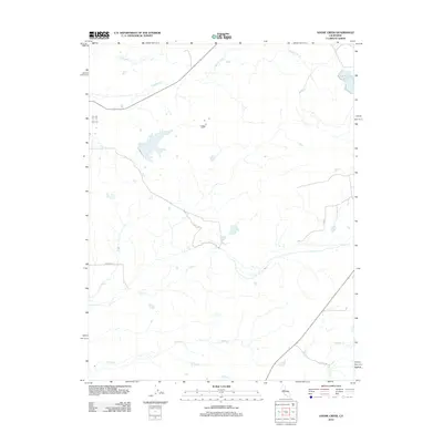 2012 Goose Creek2012 Print · USGSSacramento County's rural interior is captured here in the early 21st century, showing a landscape of ranch lands and seasonal waterways. Trace the paths of Goose Cr and Dry Cr alongside rural routes like Clay E Rd and Borden Rd.
 - 2012 Map of Ione, 2012 Print
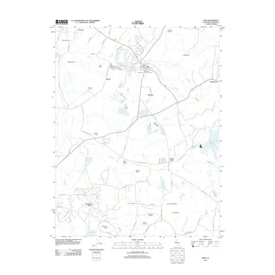 2012 Ione2012 Print · USGSThe Amador County foothills come into focus in the early twenty-first century, showcasing a landscape shaped by viticulture and water. Trace local roots through the Catholic Cem or explore the rural outskirts of Buena Vista and Firebrick.
 - 2012 Map of Jackson, 2012 Print
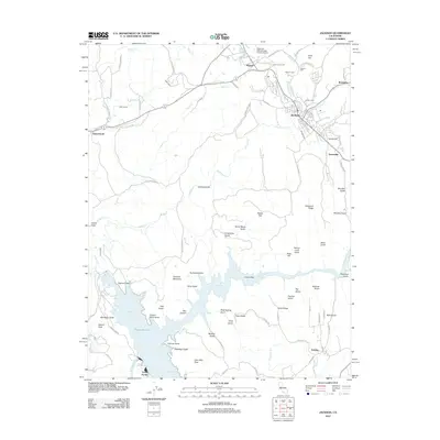 2012 Jackson2012 Print · USGSAmador County's gold country and hydraulic history are on full display in this survey of the Jackson area. Researchers can trace historic mining routes and landmarks like Kennedy Mine Rd, Jackson Gate, and the Massa Tunnel near the Pardee Reservoir shoreline.
 - 2012 Map of Amador City, 2012 Print
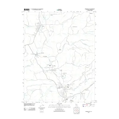 2012 Amador City2012 Print · USGSAmador County's gold-country heart is recorded here in the early 2010s, showing the intersection of historic mining camps and modern vineyards. Genealogists can trace family heritage through the Oak Knoll Cem and Saint Stevens Cem, or locate landmarks in Drytown and New Chicago.
 - 2012 Map of Wallace, 2012 Print
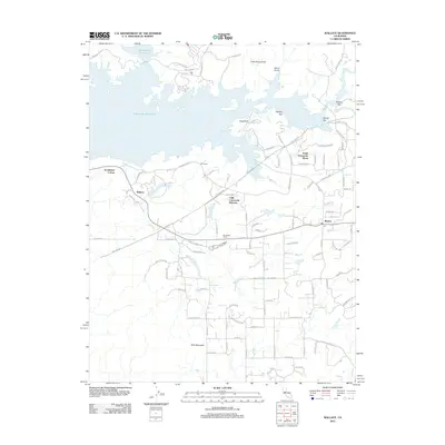 2012 Wallace2012 Print · USGSCalaveras County transitions from rural ranching to reservoir-side living in the early twenty-first century. Researchers can trace the development of Lake Camanche Ranches and South Camanche Shore alongside historic locales like Wallace and Burson.
 - 2012 Map of Fiddletown, 2012 Print
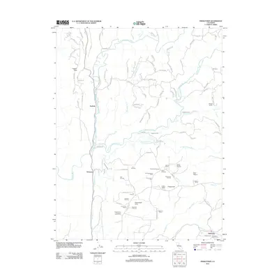 2012 Fiddletown2012 Print · USGSThe wine country of the Shenandoah Valley and the rugged forks of the Cosumnes River are captured here in the early twenty-first century. Family history researchers can locate several burial sites like Shenandoah Cem and Fiddletown Cem or trace the path of the Plymouth Ditch.
 - 2012 Map of Clements, 2012 Print
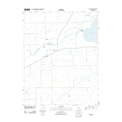 2012 Clements2012 Print · USGSNortheastern San Joaquin County appears here in the early twenty-first century as a landscape shaped by the Mokelumne River. Researchers can trace local heritage at the Clements Glen View Cem and locate sites like Dogtown and the Clements Buckaroos Rodeo Grounds.
 - 2012 Map of Caples Lake, 2012 Print
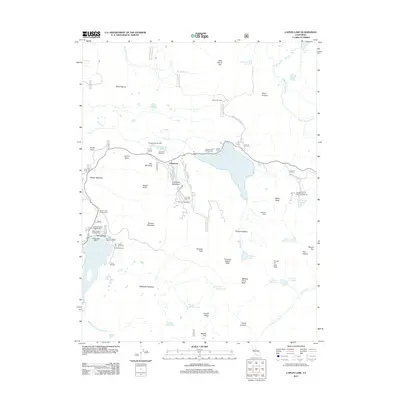 2012 Caples Lake2012 Print · USGSKirkwood and the Carson Pass region are captured here in the early twenty-first century, showing the intersection of alpine recreation and historic mountain camps. Researchers can trace the footprints of Kirkwood Meadows, Kit Carson, and summer retreats like Camp Silverado.
 - 2012 Map of Mokelumne Peak, 2012 Print
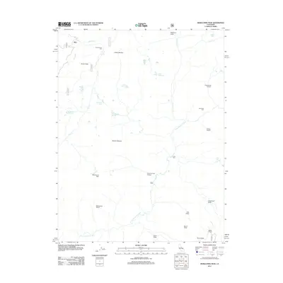 2012 Mokelumne Peak2012 Print · USGSHigh Sierra peaks and remote trading posts define this region at the start of the 2010s. Trace the paths to Plasse Trading Post, the Monty Wolf Cabin, and isolated landmarks like Horse Thief Spring.
 - 2012 Map of Omo Ranch, 2012 Print
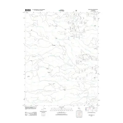 2012 Omo Ranch2012 Print · USGSOmo Ranch and the Cosumnes River forks are documented here during the early twenty-first century as modern roads overlap a landscape of historic mining. Researchers can locate remote sites like Indian Diggins Cem, Andreason Mill, and the grounds of Henrys Diggings.
 - 2012 Map of Calaveras Dome, 2012 Print
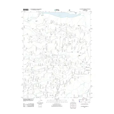 2012 Calaveras Dome2012 Print · USGSThe Sierra Nevada high country at the start of the twenty-first century is captured here, centered on the headwaters of the Mokelumne and Stanislaus Rivers. Genealogists and hikers can trace historical sites like Buck Ranch, Cuneo Camp, and the settlement at Ganns.
 - 2012 Map of Peddler Hill, 2012 Print
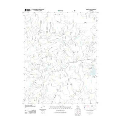 2012 Peddler Hill2012 Print · USGSEl Dorado County’s high Sierra terrain is captured here during the early 2000s, showing a landscape defined by timber history and alpine recreation. Researchers can trace forest management roots near Loggers Delight Canyon or locate recreation sites like Grelich Camp and the Lower Bear River Reservoir.
Showing maps 1-25 of 116
Top cities of Amador County
- Ione historical maps
- Jackson historical maps
- Sutter Creek historical maps
- Plymouth historical maps
- Amador City historical maps
Frequently asked questions
- What are the different types of historical maps available for Amador County?
- What is the oldest map of Amador County?
- Where can I purchase historical maps of Amador County for my home or office?
- Where can I download high-res historical maps of Amador County?
- Are there historical topographic maps available for Amador County?
- Is there historical aerial imagery available for Amador County?
- Where are historical maps of Amador County sourced from?