2000s (21st Century) Maps of Del Norte County, California
Explore 108 historic maps of Del Norte County from the 2000s (21st Century). These maps offer a rare glimpse into what life looked like during the 2000s — showing old roads, neighborhoods, homes, and landmarks that have changed or disappeared over time.
Whether you're researching your family's past, planning a metal detecting trip, or studying how Del Norte County's landscape evolved across the 2000s, these high-resolution maps are a powerful tool for exploring the history of this region.
- Focus on a specific era: All maps on this page are from the 2000s, giving you a focused view of this time period.
- See what’s changed: Compare century-old streets, trails, and buildings to today's modern landscape using overlays and satellite layers.
- Research with precision: Use these maps for genealogy, historical research, land use analysis, or educational projects.
- View, download, or print: Maps are fully viewable online in high resolution, and can be downloaded or printed for your own records.
Start exploring Del Norte County's history through authentic maps from the 2000s. This is your window into the past.
Del Norte County, CA maps
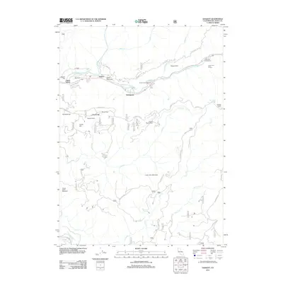
(108)- 2001 Map of Bark Shanty Gulch, 2004 Print
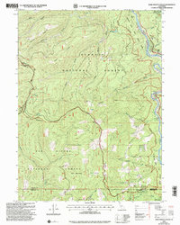 2001 Bark Shanty Gulch2004 Print · USGSSiskiyou County's mountain and river country is documented here at the turn of the millennium, showing the overlap of two national forests and three county lines. Researchers can trace the river corridor via the R. Lyle Davis Bridge to find Young Ranch and remote backcountry sites like Beans Camp.
 - 2012 Map of Fern Canyon, 2012 Print
 2012 Fern Canyon2012 Print · USGSCovers Del Norte County, including Humboldt County, United States, and other nearby areas
 - 2012 Map of Sister Rocks, 2012 Print
 2012 Sister Rocks2012 Print · USGSCovers Del Norte County, including Crescent City, United States, and other nearby areas
 - 2012 Map of Hiouchi, 2012 Print
 2012 Hiouchi2012 Print · USGSCovers Del Norte County, including Douglas Park, Hiouchi, and other nearby areas
 - 2012 Map of Smith River, 2012 Print
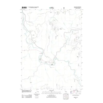
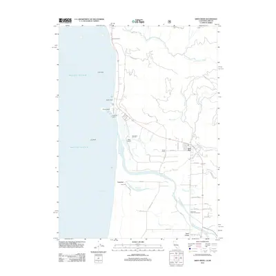 2012 Smith River2012 Print · USGSCovers Del Norte County, including Smith River, Tryon Corner, and other nearby areas
 - 2012 Map of Childs Hill, 2012 Print
 2012 Childs Hill2012 Print · USGSCovers Del Norte County, including United States, California, and other nearby areas
 - 2012 Map of Crescent City, 2012 Print
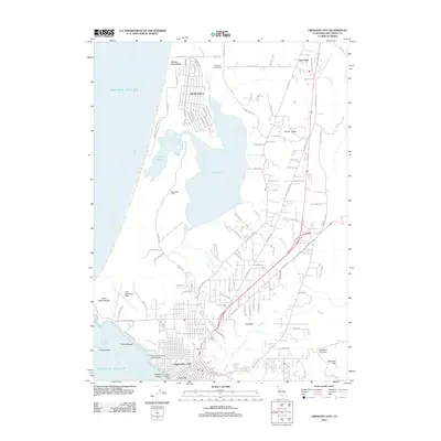 2012 Crescent City2012 Print · USGSCovers Del Norte County, including Crescent City, Pacific Shores, and other nearby areas
 - 2012 Map of High Divide, 2012 Print
 2012 High Divide2012 Print · USGSCovers Del Norte County, including Curry County, United States, and other nearby areas
 - 2012 Map of Crescent City OE W, 2012 Print
 2012 Crescent City OE W2012 Print · USGSCovers Del Norte County, including United States, California, and other nearby areas
 - 2012 Map of Requa, 2012 Print
 2012 Requa2012 Print · USGSCovers Del Norte County, including Camp Klamath, Requa, and other nearby areas
 - 2012 Map of Klamath Glen, 2012 Print
 2012 Klamath Glen2012 Print · USGSCovers Del Norte County, including Klamath Glen, Scaath, and other nearby areas
 - 2012 Map of High Plateau Mountain, 2012 Print
 2012 High Plateau Mountain2012 Print · USGSCovers Del Norte County, including Rockland, Curry County, and other nearby areas
 - 2012 Map of Gasquet, 2012 Print
 2012 Gasquet2012 Print · USGSCovers Del Norte County, including Gasquet, United States, and other nearby areas
 - 2012 Map of Devils Punchbowl, 2012 Print
 2012 Devils Punchbowl2012 Print · USGSCovers Del Norte County, including Siskiyou County, United States, and other nearby areas
 - 2012 Map of Summit Valley, 2012 Print
 2012 Summit Valley2012 Print · USGSCovers Del Norte County, including Peak Eight, United States, and other nearby areas
 - 2012 Map of Hurdygurdy Butte, 2012 Print
 2012 Hurdygurdy Butte2012 Print · USGSCovers Del Norte County, including United States, California, and other nearby areas
 - 2012 Map of Shelly Creek Ridge, 2012 Print
 2012 Shelly Creek Ridge2012 Print · USGSCovers Del Norte County, including Josephine County, Curry County, and other nearby areas
 - 2012 Map of Broken Rib Mountain, 2012 Print
 2012 Broken Rib Mountain2012 Print · USGSCovers Del Norte County, including Josephine County, Siskiyou County, and other nearby areas
 - 2012 Map of Canthook Mountain, 2012 Print
 2012 Canthook Mountain2012 Print · USGSCovers Del Norte County, including United States, California, and other nearby areas
 - 2012 Map of Prescott Mountain, 2012 Print
 2012 Prescott Mountain2012 Print · USGSCovers Del Norte County, including Siskiyou County, United States, and other nearby areas
 - 2012 Map of Blue Creek Mountain, 2012 Print
 2012 Blue Creek Mountain2012 Print · USGSCovers Del Norte County, including Humboldt County, United States, and other nearby areas
 - 2012 Map of Chimney Rock, 2012 Print
 2012 Chimney Rock2012 Print · USGSCovers Del Norte County, including Siskiyou County, United States, and other nearby areas
 - 2012 Map of Bark Shanty Gulch, 2012 Print
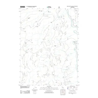 2012 Bark Shanty Gulch2012 Print · USGSCovers Del Norte County, including Humboldt County, Siskiyou County, and other nearby areas
 - 2012 Map of Ship Mountain, 2012 Print
 2012 Ship Mountain2012 Print · USGSCovers Del Norte County, including United States, California, and other nearby areas
 - 2012 Map of Polar Bear Mountain, 2012 Print
 2012 Polar Bear Mountain2012 Print · USGSCovers Del Norte County, including Josephine County, Siskiyou County, and other nearby areas
Showing maps 1-25 of 108
Top cities of Del Norte County
Frequently asked questions
- What are the different types of historical maps available for Del Norte County?
- What is the oldest map of Del Norte County?
- Where can I purchase historical maps of Del Norte County for my home or office?
- Where can I download high-res historical maps of Del Norte County?
- Are there historical topographic maps available for Del Norte County?
- Is there historical aerial imagery available for Del Norte County?
- Where are historical maps of Del Norte County sourced from?