2010s Maps of Mariposa County, California
Explore 123 historic maps of Mariposa County from the 2010s. These maps offer a rare glimpse into what life looked like during the 2010s — showing old roads, neighborhoods, homes, and landmarks that have changed or disappeared over time.
Whether you're researching your family's past, planning a metal detecting trip, or studying how Mariposa County's landscape evolved across the 2010s, these high-resolution maps are a powerful tool for exploring the history of this region.
- Focus on a specific era: All maps on this page are from the 2010s, giving you a focused view of this time period.
- See what’s changed: Compare century-old streets, trails, and buildings to today's modern landscape using overlays and satellite layers.
- Research with precision: Use these maps for genealogy, historical research, land use analysis, or educational projects.
- View, download, or print: Maps are fully viewable online in high resolution, and can be downloaded or printed for your own records.
Start exploring Mariposa County's history through authentic maps from the 2010s. This is your window into the past.
Mariposa County, CA maps
(123)- 2012 Map of Raymond, 2012 Print
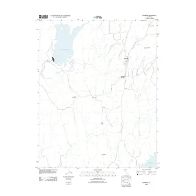 2012 Raymond2012 Print · USGSRaymond and the surrounding Madera County foothills are captured here in the early twenty-first century as a landscape of ranching and reservoir waters. Trace local family history at the Raymond Cem or explore the rural layout of Woods Ranch and Knowles Junction.
 - 2012 Map of Ten Lakes, 2012 Print
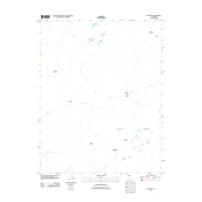 2012 Ten Lakes2012 Print · USGSTuolumne County's high wilderness is documented here in the early twenty-first century, showing the drainage of the upper Sierra. Researchers can trace the path of the Tuolumne River through Muir Gorge and locate remote alpine basins like Ten Lakes.
 - 2012 Map of Yosemite Falls, 2012 Print
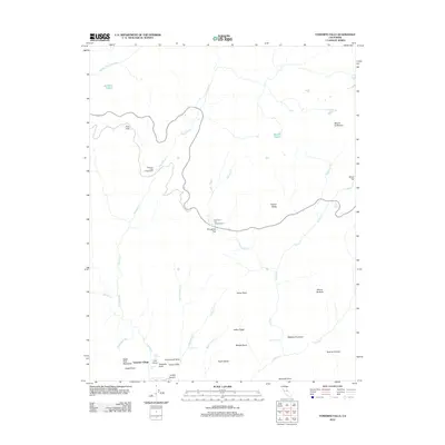 2012 Yosemite Falls2012 Print · USGSThe high Sierra landscape is captured here just over a decade ago, centering on the vertical wonders and granite domes of the central valley. Outdoor enthusiasts and researchers can trace the routes between Yosemite Village, North Dome, and Yosemite Falls.
 - 2012 Map of Horsecamp Mountain, 2012 Print
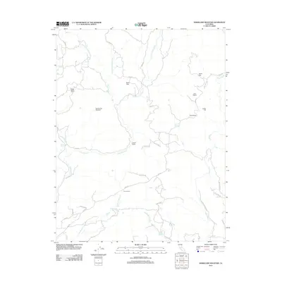 2012 Horsecamp Mountain2012 Print · USGSMadera County’s foothill country is documented here in the early twenty-first century, showing a landscape defined by the Chowchilla and Fresno Rivers. Researchers can trace the path of the Old Wagon Rd or locate historic landmarks like Summit House and Grub Gulch.
 - 2012 Map of Mariposa, 2012 Print
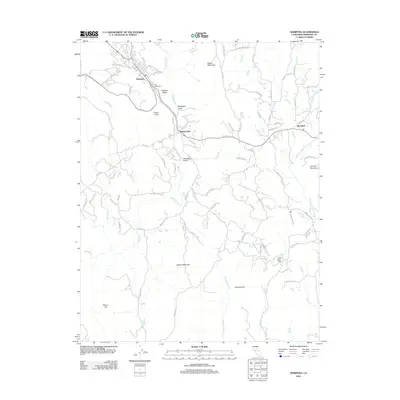 2012 Mariposa2012 Print · USGSMariposa and the surrounding Sierra foothills are documented here in the early twenty-first century. Genealogists and local historians can trace family locations near Saint Joseph Cem or explore the reaches of Mormon Bar, Bootjack, and McBrights Gulch.
 - 2012 Map of Buckhorn Peak, 2012 Print
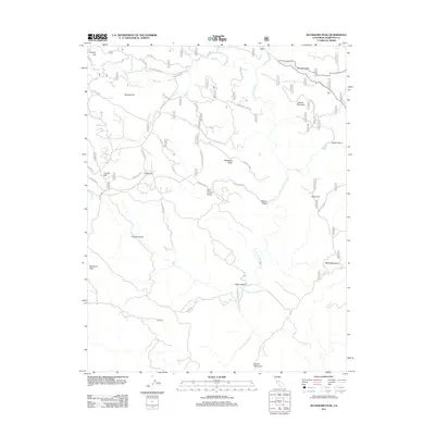 2012 Buckhorn Peak2012 Print · USGSMariposa County's rugged mining and timber country is detailed here during the early twenty-first century. Researchers can trace historical access routes like the Old Yosemite Rd and locate remote sites such as Cat Town, Date Flat, and Buckhorn Peak.
 - 2012 Map of Jawbone Ridge, 2012 Print
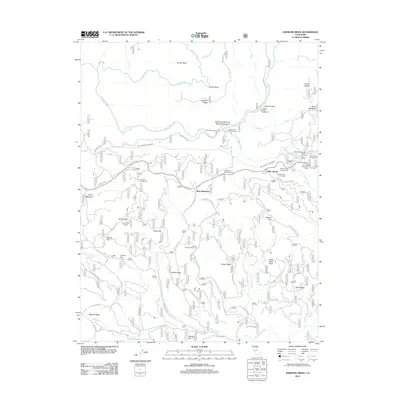 2012 Jawbone Ridge2012 Print · USGSMariposa County’s high country is captured here during the early twenty-first century as a critical hub for water infrastructure and mountain recreation. Researchers can locate family-named landmarks like Hobron Hill and Frank Harris Point or trace the Hetch Hetchy Aqueduct near Buck Meadows.
 - 2012 Map of El Capitan, 2012 Print
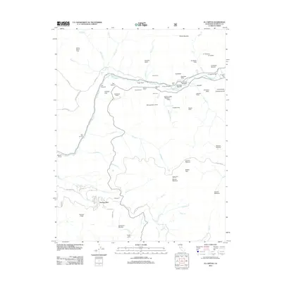 2012 El Capitan2012 Print · USGSThe granite heights and valley floor of the high Sierra are captured here just over a decade ago. Researchers can locate the Henness Ridge Lookout, the residential layout of Yosemite West, and the historic gateway at Inspiration Point.
 - 2012 Map of Buckingham Mountain, 2012 Print
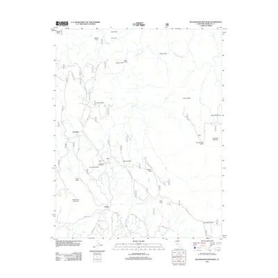 2012 Buckingham Mountain2012 Print · USGSMariposa County foothills are mapped here in the early twenty-first century, showing the small communities and complex ridges east of the Central Valley. Researchers can trace local landmarks like Buckingham Mountain and roads such as Hites Cove Rd or Standard Mill Rd.
 - 2012 Map of White Chief Mountain, 2012 Print
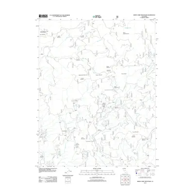 2012 White Chief Mountain2012 Print · USGSThe High Sierras of Madera County are captured here in the early twenty-first century, showing a landscape of granite peaks and timbered meadows. Researchers can locate remote outposts like Sivels Ranch and Soquel Meadow Ranch or trace trails near Fresno Dome.
 - 2012 Map of Stumpfield Mountain, 2012 Print
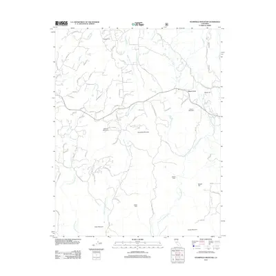 2012 Stumpfield Mountain2012 Print · USGSMariposa County's high-relief drainage basins are shown in great detail here just after the turn of the millennium. Researchers can trace the three branches of the W Fork Chowchilla River past landmarks like Elliott Corner, Stumpfield Mountain, and Metcalf Gap.
 - 2012 Map of Wawona, 2012 Print
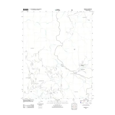 2012 Wawona2012 Print · USGSThe Mariposa County highlands and the valley of the S Fork Merced River are shown here in the early 2000s. Researchers can trace the layout of North Wawona and find historic sites like the Signal Peak Lookout, Deer Camp, and the Wawona Golf Course.
 - 2012 Map of Fish Camp, 2012 Print
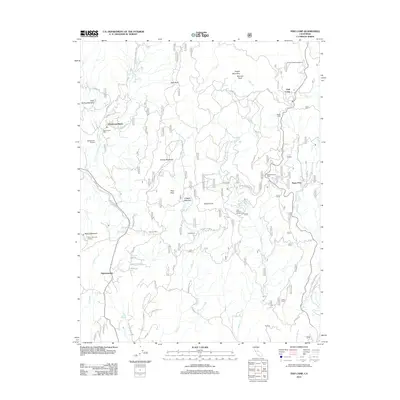 2012 Fish Camp2012 Print · USGSThe Sierra Nevada foothills and high country near the Madera-Mariposa border are shown here in the early 2000s. Researchers can locate historic mill sites like Worman Mill, the settlement of Sugar Pine, and landmarks such as the Miami Mountain Lookout.
 - 2012 Map of Tenaya Lake, 2012 Print
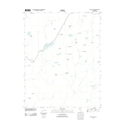 2012 Tenaya Lake2012 Print · USGSTuolumne County's high-country terrain is captured here in the early twenty-first century, centered on the granite-lined basin of the Tioga Road corridor. Outdoor researchers can trace backcountry routes to remote destinations like May Lake High Sierra Camp, Sunrise Lakes, and Cathedral Pass.
 - 2012 Map of Groveland, 2012 Print
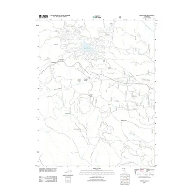 2012 Groveland2012 Print · USGSTuolumne County's gold country is captured here during the early twenty-first century, showing the intersection of historic mining camps and modern recreation. Trace the heritage of Second Garrotte, locate the Bret Harte Cabin, and follow the critical path of the Hetch Hetchy Aqueduct.
 - 2012 Map of Tamarack Flat, 2012 Print
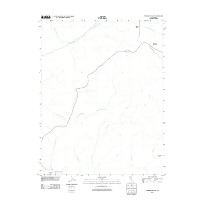 2012 Tamarack Flat2012 Print · USGSThe high Sierra backcountry near White Wolf is documented here just after the turn of the millennium. Outdoor enthusiasts and historians can trace the paths of Old Big Oak Flat Rd and find quiet landmarks like Siesta Lake and McSwain Meadows.
 - 2012 Map of Coulterville, 2012 Print
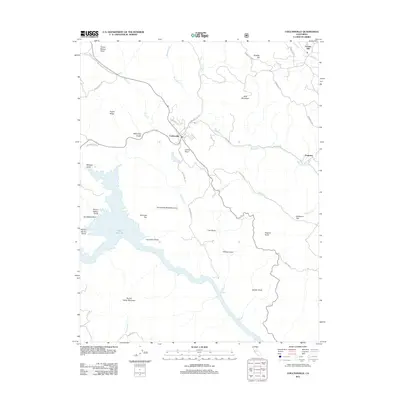 2012 Coulterville2012 Print · USGSNorthern Mariposa County's gold country is detailed here in the early twenty-first century, centered on the historic town of Coulterville. Genealogists and historians can trace family-named landmarks like Louise Point, Virginia Point, and the old settlement of Dogtown.
 - 2012 Map of Ben Hur, 2012 Print
 2012 Ben Hur2012 Print · USGSMariposa County's rolling upland terrain is documented here in the early twenty-first century, centered on the community of Ben Hur. Researchers can trace old routes like Oak Grove School Rd and locate landmarks from Coleman Flat to the Chowchilla River.
 - 2012 Map of Merced Peak, 2012 Print
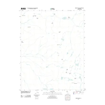 2012 Merced Peak2012 Print · USGSMadera County’s high alpine wilderness is captured here during the early twenty-first century, showing the intricate drainage basins of the Sierra Nevada. Hikers and historians can trace the paths between Merced Lake High Sierra Camp, the heights of Merced Peak, and remote waters like Red Devil Lake.
 - 2012 Map of Half Dome, 2012 Print
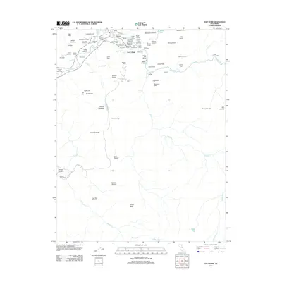 2012 Half Dome2012 Print · USGSMariposa County's legendary granite valley is documented here in the early twenty-first century, showing the established infrastructure of the high Sierra. Researchers can trace the development of Curry Village, the location of Sunnyside Lodge, and the paths leading to Half Dome.
 - 2012 Map of Vogelsang Peak, 2012 Print
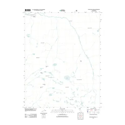 2012 Vogelsang Peak2012 Print · USGSHigh Sierra backcountry and glacial lake basins characterize this part of the Sierra Nevada in the early twenty-first century. Hikers and historians can trace routes through Lyell Canyon to landmarks like Vogelsang High Sierra Camp and Parsons Peak.
 - 2012 Map of Mount Lyell, 2012 Print
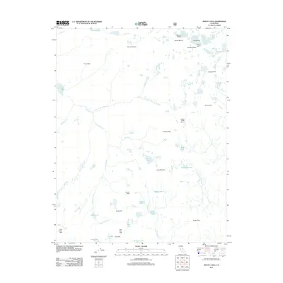 2012 Mount Lyell2012 Print · USGSThe high Sierra crest of Madera County is captured here in the early twenty-first century, centered on the glacial headwaters of the Merced River. Researchers can trace the drainage patterns of the Lyell Fork Merced River and locate remote landmarks like Isberg Pass and Mount Ansel Adams.
 - 2012 Map of Ascension Mountain, 2012 Print
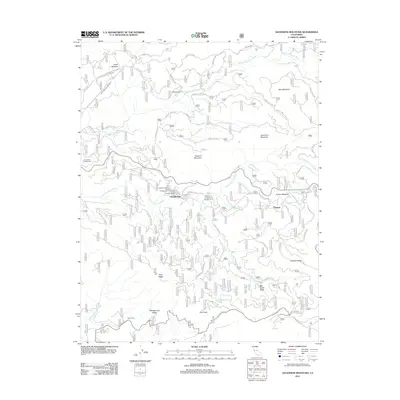 2012 Ascension Mountain2012 Print · USGSThe Tuolumne River watershed comes into focus on this 2012 map of the Sierra Nevada high country. Genealogists and historians can trace old routes like Old Yosemite Rd and locate forest outposts such as Sequoia, Harden Ranch, and Goat Camp.
 - 2012 Map of Mariposa Grove, 2012 Print
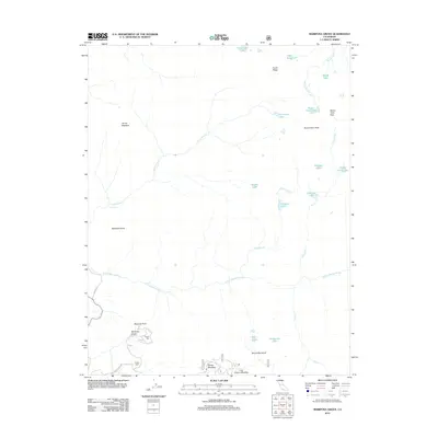 2012 Mariposa Grove2012 Print · USGSMadera County’s high sierra is captured here in the early twenty-first century, centered on the ancient giants and granite domes of the Yosemite region. Researchers can locate specific natural landmarks like the Grizzly Giant, trace the path of the S Fork Merced River, and find remote alpine waters such as Ostrander Lake.
 - 2012 Map of Feliciana Mountain, 2012 Print
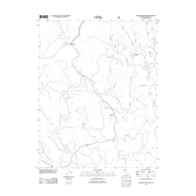 2012 Feliciana Mountain2012 Print · USGSMariposa County at the start of the 2010s shows a landscape of mountain lodges and winding forest roads. Researchers can trace the routes around Midpines and Briceburg, or locate landmarks like Timber Lodge and Feliciana Mountain.
Showing maps 1-25 of 123
Frequently asked questions
- What are the different types of historical maps available for Mariposa County?
- What is the oldest map of Mariposa County?
- Where can I purchase historical maps of Mariposa County for my home or office?
- Where can I download high-res historical maps of Mariposa County?
- Are there historical topographic maps available for Mariposa County?
- Is there historical aerial imagery available for Mariposa County?
- Where are historical maps of Mariposa County sourced from?