2000s (21st Century) Maps of Mendocino County, California
Explore 347 historic maps of Mendocino County from the 2000s (21st Century). These maps offer a rare glimpse into what life looked like during the 2000s — showing old roads, neighborhoods, homes, and landmarks that have changed or disappeared over time.
Whether you're researching your family's past, planning a metal detecting trip, or studying how Mendocino County's landscape evolved across the 2000s, these high-resolution maps are a powerful tool for exploring the history of this region.
- Focus on a specific era: All maps on this page are from the 2000s, giving you a focused view of this time period.
- See what’s changed: Compare century-old streets, trails, and buildings to today's modern landscape using overlays and satellite layers.
- Research with precision: Use these maps for genealogy, historical research, land use analysis, or educational projects.
- View, download, or print: Maps are fully viewable online in high resolution, and can be downloaded or printed for your own records.
Start exploring Mendocino County's history through authentic maps from the 2000s. This is your window into the past.
Mendocino County, CA maps
(347)- 2012 Map of Jewett Rock, 2012 Print
 2012 Jewett Rock2012 Print · USGSCovers Mendocino County, including Kekawaka, Humboldt County, and other nearby areas
 - 2012 Map of Harris, 2012 Print
 2012 Harris2012 Print · USGSCovers Mendocino County, including Harris, Humboldt County, and other nearby areas
 - 2012 Map of Briceland, 2012 Print
 2012 Briceland2012 Print · USGSCovers Mendocino County, including Briceland, Whitethorn, and other nearby areas
 - 2012 Map of Highland Springs, 2012 Print
 2012 Highland Springs2012 Print · USGSCovers Mendocino County, including Highland Springs, Lake County, and other nearby areas
 - 2012 Map of The Geysers, 2012 Print
 2012 The Geysers2012 Print · USGSCovers Mendocino County, including Caldwell Pines, Black Oaks, and other nearby areas
 - 2012 Map of Garberville, 2012 Print
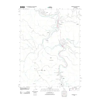 2012 Garberville2012 Print · USGSCovers Mendocino County, including Redway, Cooks Valley, and other nearby areas
 - 2012 Map of Bear Harbor OE W, 2012 Print
 2012 Bear Harbor OE W2012 Print · USGSCovers Mendocino County, including United States, California, and other nearby areas
 - 2012 Map of Elk Mountain, 2012 Print
 2012 Elk Mountain2012 Print · USGSCovers Mendocino County, including Lake County, United States, and other nearby areas
 - 2012 Map of Buck Rock, 2012 Print
 2012 Buck Rock2012 Print · USGSCovers Mendocino County, including Tehama County, Trinity County, and other nearby areas
 - 2012 Map of Upper Lake, 2012 Print
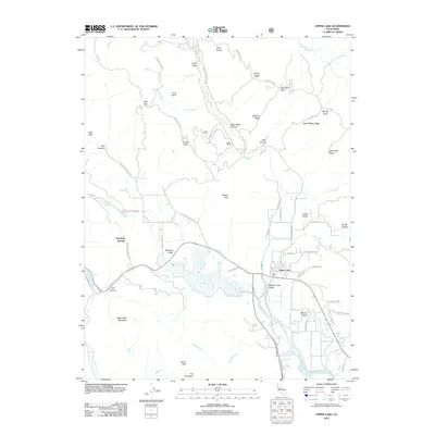 2012 Upper Lake2012 Print · USGSCovers Mendocino County, including Upper Lake, Lake County, and other nearby areas
 - 2012 Map of Asti, 2012 Print
 2012 Asti2012 Print · USGSCovers Mendocino County, including Cloverdale, Asti, and other nearby areas
 - 2012 Map of Plaskett Ridge, 2012 Print
 2012 Plaskett Ridge2012 Print · USGSCovers Mendocino County, including Carpenter Place, Keller Place, and other nearby areas
 - 2012 Map of Mendocino Pass, 2012 Print
 2012 Mendocino Pass2012 Print · USGSCovers Mendocino County, including Hardy Place, Bredehoft Place, and other nearby areas
 - 2012 Map of Greenough Ridge, 2012 Print
 2012 Greenough Ridge2012 Print · USGSCovers Mendocino County, including United States, California, and other nearby areas
 - 2012 Map of Dos Rios, 2012 Print
 2012 Dos Rios2012 Print · USGSCovers Mendocino County, including Two Rivers, United States, and other nearby areas
 - 2012 Map of Jamison Ridge, 2012 Print
 2012 Jamison Ridge2012 Print · USGSCovers Mendocino County, including United States, California, and other nearby areas
 - 2012 Map of Elk, 2012 Print
 2012 Elk2012 Print · USGSCovers Mendocino County, including Elk, United States, and other nearby areas
 - 2012 Map of Noble Butte, 2012 Print
 2012 Noble Butte2012 Print · USGSCovers Mendocino County, including Riverdale, United States, and other nearby areas
 - 2012 Map of Hales Grove, 2012 Print
 2012 Hales Grove2012 Print · USGSCovers Mendocino County, including United States, California, and other nearby areas
 - 2012 Map of Orrs Springs, 2012 Print
 2012 Orrs Springs2012 Print · USGSCovers Mendocino County, including United States, California, and other nearby areas
 - 2012 Map of Covelo East, 2012 Print
 2012 Covelo East2012 Print · USGSCovers Mendocino County, including Cubbler Place, Covelo, and other nearby areas
 - 2012 Map of Mina, 2012 Print
 2012 Mina2012 Print · USGSCovers Mendocino County, including Trinity County, United States, and other nearby areas
 - 2012 Map of Northspur, 2012 Print
 2012 Northspur2012 Print · USGSCovers Mendocino County, including United States, California, and other nearby areas
 - 2012 Map of Mallo Pass Creek, 2012 Print
 2012 Mallo Pass Creek2012 Print · USGSCovers Mendocino County, including Irish Beach, United States, and other nearby areas
 - 2012 Map of Noyo Hill, 2012 Print
 2012 Noyo Hill2012 Print · USGSCovers Mendocino County, including United States, California, and other nearby areas
Showing maps 1-25 of 347
Top cities of Mendocino County
- Ukiah historical maps
- Fort Bragg historical maps
- Willits historical maps
- Redwood Valley historical maps
- Talmage historical maps
- Talmage historical maps
See more
Frequently asked questions
- What are the different types of historical maps available for Mendocino County?
- What is the oldest map of Mendocino County?
- Where can I purchase historical maps of Mendocino County for my home or office?
- Where can I download high-res historical maps of Mendocino County?
- Are there historical topographic maps available for Mendocino County?
- Is there historical aerial imagery available for Mendocino County?
- Where are historical maps of Mendocino County sourced from?