2000s (21st Century) Maps of Riverside County, California
Explore 629 historic maps of Riverside County from the 2000s (21st Century). These maps offer a rare glimpse into what life looked like during the 2000s — showing old roads, neighborhoods, homes, and landmarks that have changed or disappeared over time.
Whether you're researching your family's past, planning a metal detecting trip, or studying how Riverside County's landscape evolved across the 2000s, these high-resolution maps are a powerful tool for exploring the history of this region.
- Focus on a specific era: All maps on this page are from the 2000s, giving you a focused view of this time period.
- See what’s changed: Compare century-old streets, trails, and buildings to today's modern landscape using overlays and satellite layers.
- Research with precision: Use these maps for genealogy, historical research, land use analysis, or educational projects.
- View, download, or print: Maps are fully viewable online in high resolution, and can be downloaded or printed for your own records.
Start exploring Riverside County's history through authentic maps from the 2000s. This is your window into the past.
Riverside County, CA maps
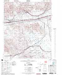
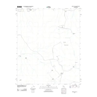
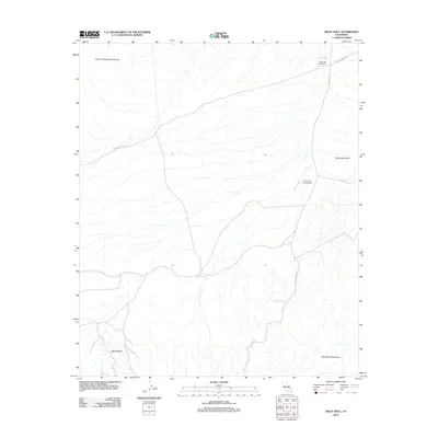
(629)- 2002 Map of Chuckwalla Spring, 2004 Print
 2002 Chuckwalla Spring2004 Print · USGSThe Colorado Desert at the start of the 2000s reveals a landscape of military range boundaries, historic trails, and isolated mining claims. Researchers can trace the path of the Bradshaw, locate the Paymaster Mine, and find water sources like Indian Wells and Mesquite Spring.
 - 2002 Map of Hayfield, 2004 Print
 2002 Hayfield2004 Print · USGSRiverside County at the dawn of the millennium shows a desert landscape shaped by military use and essential water infrastructure. Researchers can trace the historical Bradshaw Trail and locate remote sites like Careys Castle or Chiriaco Summit.
 - 2002 Map of Durmid, 2004 Print
 2002 Durmid2004 Print · USGSThe western shores of the Salton Sea come into focus in the early 2000s, showing a landscape of desert settlements and restricted military zones. Researchers can trace the rail sidings of the Southern Pacific Railroad and the planned streets of Salton City or the rocky Bat Caves Buttes.
 - 2002 Map of Chuckwalla Mountains, 2004 Print
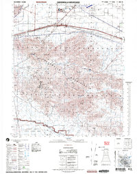 2002 Chuckwalla Mountains2004 Print · USGSThe Riverside County desert at the start of the twenty-first century reveals a landscape of remote wells, modern recreational enclaves, and expansive military territory. Researchers can locate the Gruendikes Well (Site), the settlement at Desert Center, and old mining Prospects near Black Butte.
 - 2002 Map of Palo Verde Mountains, 2004 Print
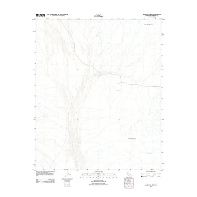
 2002 Palo Verde Mountains2004 Print · USGSThe Colorado Desert at the turn of the millennium reveals a landscape of historic transit and military exclusion. Genealogists and desert historians can trace the Bradshaw Trail, locate several mountain Mines, and identify sites like Wiley Well Campground.
 - 2002 Map of Frink, 2004 Print
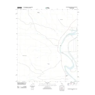
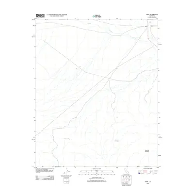
 2002 Frink2004 Print · USGSThe eastern shore of the Salton Sea and the Chocolate Mountains are documented here in the early 2000s. Researchers can trace the Southern Pacific rail corridor and explore sites like Bombay Beach, Wister, and the Aerial Gunnery Range.
 - 2003 Map of Cottonwood Spring, 2004 Print
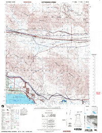 2003 Cottonwood Spring2004 Print · USGSThe northern reaches of the Salton Sea meet the high desert at the turn of the millennium. Trace the early layout of North Shore or locate the Cottonwood Spring and mines hidden within the Cottonwood Mountains.
 - 2011 Map of Mule Wash, 2011 Print
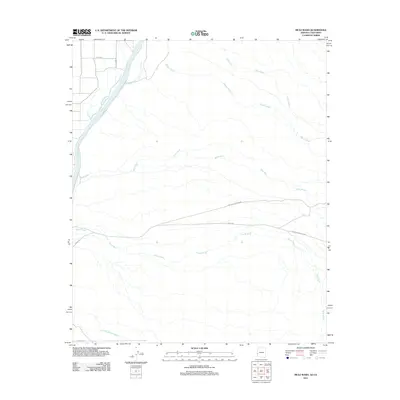 2011 Mule Wash2011 Print · USGSCovers Riverside County, including La Paz County, United States, and other nearby areas
 - 2011 Map of Poston, 2011 Print
 2011 Poston2011 Print · USGSCovers Riverside County, including Poston, La Paz County, and other nearby areas
 - 2011 Map of La Paz Mountain, 2011 Print
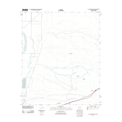 2011 La Paz Mountain2011 Print · USGSCovers Riverside County, including Morgantown, La Paz County, and other nearby areas
 - 2012 Map of Fontana, 2012 Print
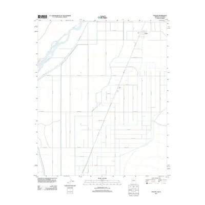
 2012 Fontana2012 Print · USGSCovers Riverside County, including Riverside, Fontana, and other nearby areas
 - 2012 Map of Yucca Valley South, 2012 Print
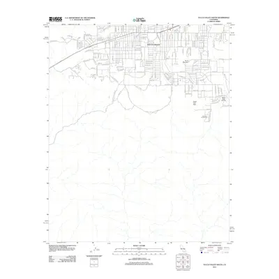 2012 Yucca Valley South2012 Print · USGSCovers Riverside County, including Yucca Valley, Morongo Valley, and other nearby areas
 - 2012 Map of Indian Cove, 2012 Print
 2012 Indian Cove2012 Print · USGSCovers Riverside County, including Twentynine Palms, Joshua Tree, and other nearby areas
 - 2012 Map of Big Maria Mountains NE, 2012 Print
 2012 Big Maria Mountains NE2012 Print · USGSCovers Riverside County, including La Paz County, United States, and other nearby areas
 - 2012 Map of Arica Mountains, 2012 Print
 2012 Arica Mountains2012 Print · USGSCovers Riverside County, including San Bernardino County, United States, and other nearby areas
 - 2012 Map of Arlington Mine, 2012 Print
 2012 Arlington Mine2012 Print · USGSCovers Riverside County, including United States, California, and other nearby areas
 - 2012 Map of Blythe NE, 2012 Print
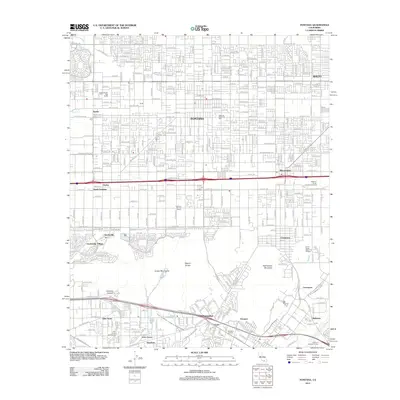
 2012 Blythe NE2012 Print · USGSCovers Riverside County, including Blythe, La Paz County, and other nearby areas
 - 2012 Map of Thumb Peak, 2012 Print
 2012 Thumb Peak2012 Print · USGSCovers Riverside County, including Imperial County, United States, and other nearby areas
 - 2012 Map of Hopkins Well, 2012 Print
 2012 Hopkins Well2012 Print · USGSCovers Riverside County, including Blythe, United States, and other nearby areas
 - 2012 Map of Big Maria Mountains SE, 2012 Print
 2012 Big Maria Mountains SE2012 Print · USGSCovers Riverside County, including La Paz County, United States, and other nearby areas
 - 2012 Map of Roosevelt Mine, 2012 Print
 2012 Roosevelt Mine2012 Print · USGSCovers Riverside County, including United States, California, and other nearby areas
 - 2012 Map of Wiley Well, 2012 Print
 2012 Wiley Well2012 Print · USGSCovers Riverside County, including Imperial County, United States, and other nearby areas
 - 2012 Map of Vidal, 2012 Print
 2012 Vidal2012 Print · USGSCovers Riverside County, including Vidal, San Bernardino County, and other nearby areas
 - 2012 Map of McCoy Wash, 2012 Print
 2012 McCoy Wash2012 Print · USGSCovers Riverside County, including Blythe, Mesaville, and other nearby areas
 - 2012 Map of McCoy Peak, 2012 Print
 2012 McCoy Peak2012 Print · USGSCovers Riverside County, including United States, California, and other nearby areas
Showing maps 1-25 of 629
Top cities of Riverside County
- Riverside historical maps
- Moreno Valley historical maps
- Corona historical maps
- Murrieta historical maps
- Temecula historical maps
- Jurupa Valley historical maps
See more
Frequently asked questions
- What are the different types of historical maps available for Riverside County?
- What is the oldest map of Riverside County?
- Where can I purchase historical maps of Riverside County for my home or office?
- Where can I download high-res historical maps of Riverside County?
- Are there historical topographic maps available for Riverside County?
- Is there historical aerial imagery available for Riverside County?
- Where are historical maps of Riverside County sourced from?