2010s Maps of Riverside County, California
Explore 459 historic maps of Riverside County from the 2010s. These maps offer a rare glimpse into what life looked like during the 2010s — showing old roads, neighborhoods, homes, and landmarks that have changed or disappeared over time.
Whether you're researching your family's past, planning a metal detecting trip, or studying how Riverside County's landscape evolved across the 2010s, these high-resolution maps are a powerful tool for exploring the history of this region.
- Focus on a specific era: All maps on this page are from the 2010s, giving you a focused view of this time period.
- See what’s changed: Compare century-old streets, trails, and buildings to today's modern landscape using overlays and satellite layers.
- Research with precision: Use these maps for genealogy, historical research, land use analysis, or educational projects.
- View, download, or print: Maps are fully viewable online in high resolution, and can be downloaded or printed for your own records.
Start exploring Riverside County's history through authentic maps from the 2010s. This is your window into the past.
Riverside County, CA maps
(459)- 2011 Map of Mule Wash, 2011 Print
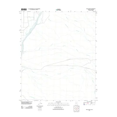 2011 Mule Wash2011 Print · USGSLa Paz County, Arizona, and the California borderlands are documented here in the early twenty-first century. Researchers can trace the desert drainage system from Colorado River to the restricted boundaries of the Yuma Proving Ground and Crazy Woman Wash.
 - 2011 Map of Poston, 2011 Print
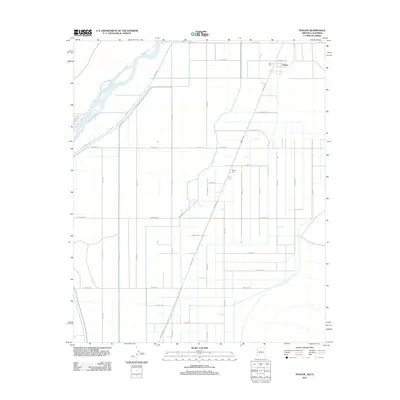 2011 Poston2011 Print · USGSArizona's irrigation-fed river valley comes into sharp focus during the early twenty-first century, showing the structured agricultural grid near the California border. Genealogists and historians can map the community layout of Poston and Poston Two while tracing the critical path of the Main Canal.
 - 2011 Map of La Paz Mountain, 2011 Print
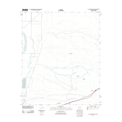 2011 La Paz Mountain2011 Print · USGSThe Colorado River lowlands and desert washes of La Paz County are captured here in the early twenty-first century. Researchers can trace land features from the Colorado River to Morgantown and explore named desert sites like Goodman Tank and Sunshine Gulch.
 - 2012 Map of Fontana, 2012 Print
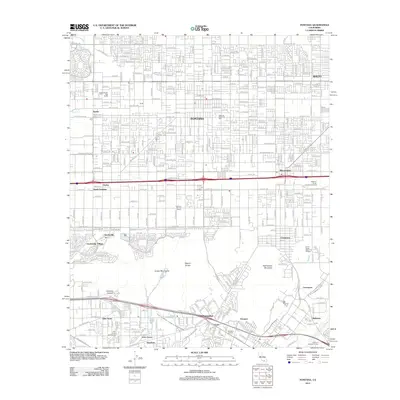 2012 Fontana2012 Print · USGSThe Inland Empire is shown at a moment of dense suburban and industrial growth in the early twenty-first century. Genealogists and local historians can trace the development of South Fontana and Declezville or locate family sites like the Golden Fresh Egg Ranch.
 - 2012 Map of Yucca Valley South, 2012 Print
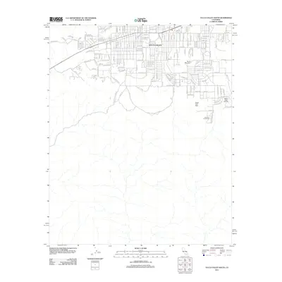 2012 Yucca Valley South2012 Print · USGSYucca Valley meets the high-desert wilderness of San Bernardino County during the early twenty-first century. Local historians can trace suburban growth up to the boundaries of Joshua Tree National Park and locate landmarks like Silver Mine Trl and Black Rock Campground.
 - 2012 Map of Indian Cove, 2012 Print
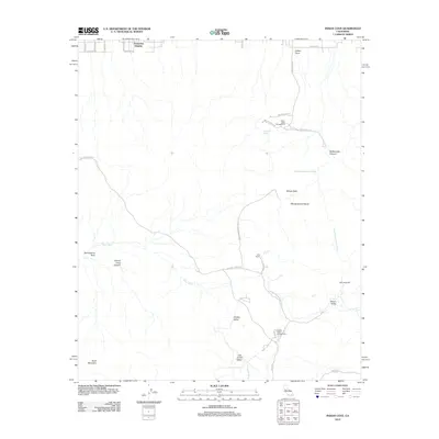 2012 Indian Cove2012 Print · USGSTwentynine Palms and the high desert interior are shown here in the early twenty-first century, highlighting both homestead history and recreation. Researchers can trace the layout of early desert outposts like Keys Ranch and Wall Street Mill or locate family-named sites such as Samuelsons Rock.
 - 2012 Map of Big Maria Mountains NE, 2012 Print
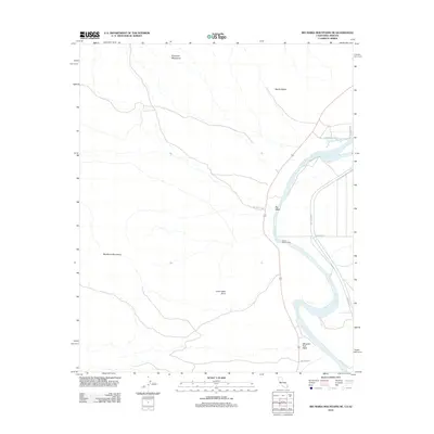 2012 Big Maria Mountains NE2012 Print · USGSThe Colorado River corridor near the Big Maria Mountains is captured here in the early 2010s. Researchers can trace the river's path past Water Wheel Camp, locate Quien Sabe Point, and follow the desert tracks of Aha Quin Rd.
 - 2012 Map of Arica Mountains, 2012 Print
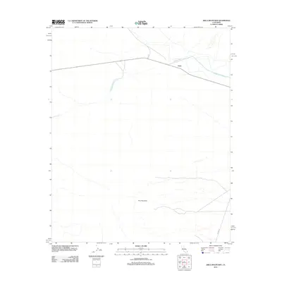 2012 Arica Mountains2012 Print · USGSThe Mojave Desert at the start of the 2010s reveals a landscape defined by critical infrastructure and isolated outposts. Researchers can trace the path of the Colorado River Aqueduct past the settlement of Freda and into the shadow of the Arica Mountains.
 - 2012 Map of Arlington Mine, 2012 Print
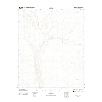 2012 Arlington Mine2012 Print · USGSRiverside County's desert mining landscape is captured here in the early twenty-first century, showcasing the isolated industrial reaches of the interior. Researchers can trace the routes to the Arlington Mine via Arlington Mine Rd and explore the surrounding Little Maria Mountains.
 - 2012 Map of Blythe NE, 2012 Print
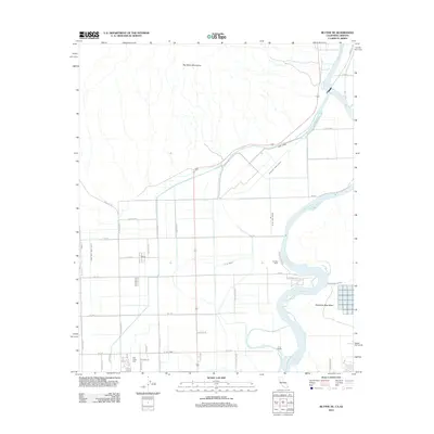 2012 Blythe NE2012 Print · USGSThe Palo Verde Valley irrigation network is shown in precise detail during the early twenty-first century as it borders the Arizona line. Researchers can trace the layout of Fertilla, the Palo Verde Cem, and the massive Main Canal system.
 - 2012 Map of Thumb Peak, 2012 Print
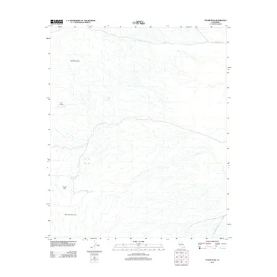 2012 Thumb Peak2012 Print · USGSImperial County's desert landscape is captured here in the early twenty-first century, featuring the prominent southern California heights of Thumb Peak. Trace the historic path of The Bradshaw Trl and locate remote landmarks like Clapp Spring and Coon Hollow.
 - 2012 Map of Hopkins Well, 2012 Print
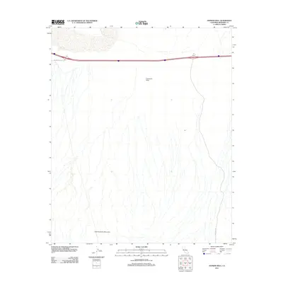 2012 Hopkins Well2012 Print · USGSRiverside County's desert corridor is documented here in the early twenty-first century as modern transit routes cross an ancient landscape. Researchers can trace the path of Chuckwalla Valley Rd and locate the historic Hopkins Well near the Little Chuckwalla Mountains.
 - 2012 Map of Big Maria Mountains SE, 2012 Print
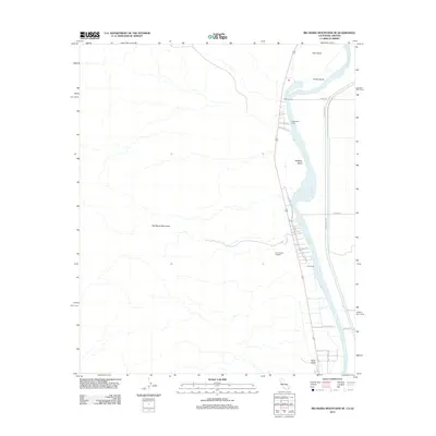 2012 Big Maria Mountains SE2012 Print · USGSThe Colorado River borderlands in eastern Arizona and California appear in fine detail during the early twenty-first century. Researchers can trace riverside settlements like Thompsons Camp and Hills Ranch or locate the ancient Giant Indian Intaglios geoglyphs.
 - 2012 Map of Roosevelt Mine, 2012 Print
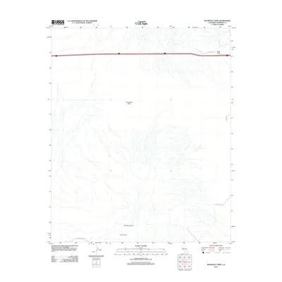 2012 Roosevelt Mine2012 Print · USGSRiverside County's desert interior is documented here in the early 21st century, showing a landscape defined by mining and historic transit. You can trace the path of The Bradshaw Trl and locate remote sites like the Roosevelt Mine and Black Rock.
 - 2012 Map of Wiley Well, 2012 Print
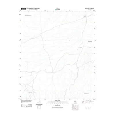 2012 Wiley Well2012 Print · USGSImperial County's desert corridor is shown here in the early twenty-first century, centered on the vital water source of Wiley Well. Researchers can trace old desert routes like The Bradshaw Trl and locate the famous Geode Beds in the southern hills.
 - 2012 Map of Vidal, 2012 Print
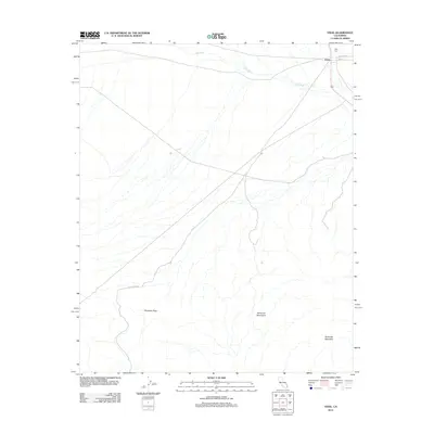 2012 Vidal2012 Print · USGSThe desert outpost of Vidal is captured here in the early twenty-first century, showing the small settlement at the crossroads of San Bernardino County. Researchers can locate Holly Cem and trace the paths of Vidal Wash through Riverside Pass.
 - 2012 Map of McCoy Wash, 2012 Print
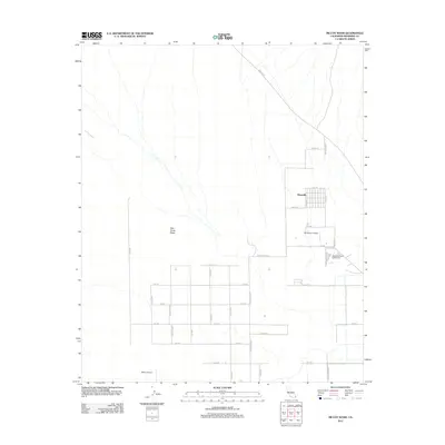 2012 McCoy Wash2012 Print · USGSThe Palo Verde Mesa is captured here in the early twenty-first century, showing the intersection of desert washes and organized settlement. Researchers can trace the grid of Mesaville and aviation history at Blythe Airport or W R Byron Airport.
 - 2012 Map of McCoy Peak, 2012 Print
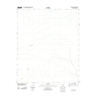 2012 McCoy Peak2012 Print · USGSRiverside County's desert interior is captured here in the early twenty-first century, showcasing a landscape defined by aridity and elevation. Researchers can trace the drainage of McCoy Wash or locate the high point at McCoy Peak within the McCoy Mountains.
 - 2012 Map of Big Maria Mountains SW, 2012 Print
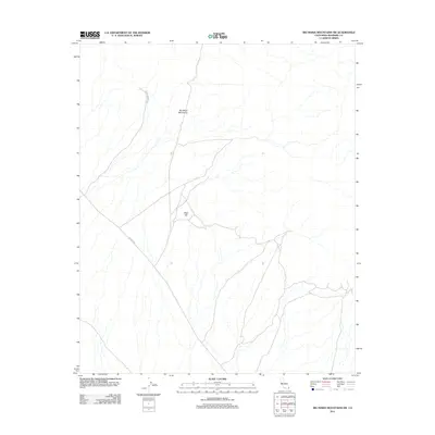 2012 Big Maria Mountains SW2012 Print · USGSRiverside County's desert interior is captured in the early twenty-first century, showing the intersection of transit and topography. Researchers and desert travelers can trace routes like Arlington Mine Rd and Midland Rd near Black Hill.
 - 2012 Map of Rice, 2012 Print
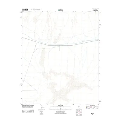 2012 Rice2012 Print · USGSSan Bernardino County's desert interior is captured here in the early twenty-first century, centered on the remote crossroads at Rice. Local historians can trace the path of the Colorado River Aqueduct and the route of Midland Rd through this arid landscape.
 - 2012 Map of Styx, 2012 Print
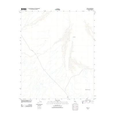 2012 Styx2012 Print · USGSRiverside County's arid interior is documented here during the early twenty-first century, showing a landscape defined by isolation and desert survival. Researchers can trace the path of Midland Rd through Rice Valley to find the remote site of Styx.
 - 2012 Map of Blythe, 2012 Print
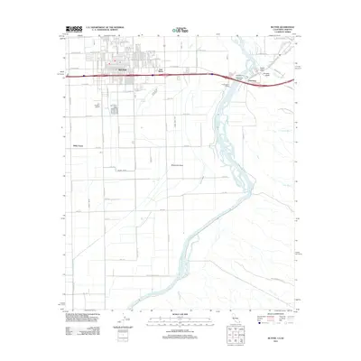 2012 Blythe2012 Print · USGSBlythe and the Colorado River crossing are shown in detail during the early twenty-first century as the region balanced agriculture and desert recreation. Researchers can trace the complex irrigation system of the D CANAL and locate family landmarks such as Miller Farms.
 - 2012 Map of Grommet, 2012 Print
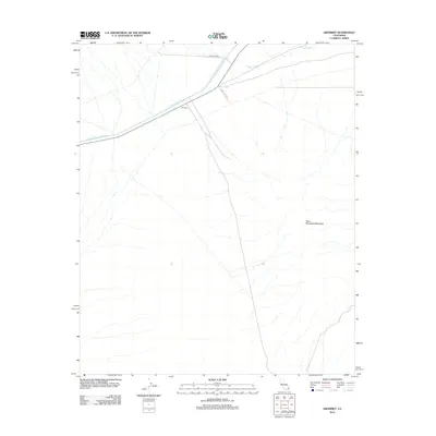 2012 Grommet2012 Print · USGSThe high desert of San Bernardino County is captured here in the early twenty-first century, centered on the infrastructure of the Colorado River Aqueduct. Researchers can trace the path of the waterway past Grommet and into the foothills of the West Riverside Mountains.
 - 2012 Map of Little Maria Mountains, 2012 Print
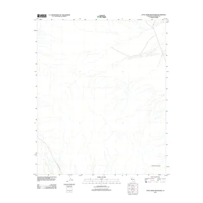 2012 Little Maria Mountains2012 Print · USGSRiverside County's desert interior remains largely unpopulated in the early 2010s, focused on the drainage and topography of the Little Maria Mountains. Researchers can trace old desert routes like Midland Rd and Coxcomb Monument Rd.
 - 2012 Map of Parker SW, 2012 Print
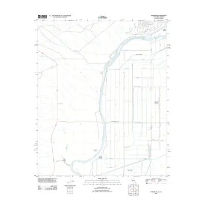 2012 Parker SW2012 Print · USGSThe California-Arizona borderlands come into focus in 2012 as the river shapes both the terrain and the local economy. Researchers can trace the complex irrigation grid through Vidal Valley and locate landmarks like the Lost Lake Resort and Deer Island.
Showing maps 1-25 of 459
Top cities of Riverside County
- Riverside historical maps
- Moreno Valley historical maps
- Corona historical maps
- Murrieta historical maps
- Temecula historical maps
- Jurupa Valley historical maps
See more
Frequently asked questions
- What are the different types of historical maps available for Riverside County?
- What is the oldest map of Riverside County?
- Where can I purchase historical maps of Riverside County for my home or office?
- Where can I download high-res historical maps of Riverside County?
- Are there historical topographic maps available for Riverside County?
- Is there historical aerial imagery available for Riverside County?
- Where are historical maps of Riverside County sourced from?