2010s Maps of San Miguel County, Colorado
Explore 145 historic maps of San Miguel County from the 2010s. These maps offer a rare glimpse into what life looked like during the 2010s — showing old roads, neighborhoods, homes, and landmarks that have changed or disappeared over time.
Whether you're researching your family's past, planning a metal detecting trip, or studying how San Miguel County's landscape evolved across the 2010s, these high-resolution maps are a powerful tool for exploring the history of this region.
- Focus on a specific era: All maps on this page are from the 2010s, giving you a focused view of this time period.
- See what’s changed: Compare century-old streets, trails, and buildings to today's modern landscape using overlays and satellite layers.
- Research with precision: Use these maps for genealogy, historical research, land use analysis, or educational projects.
- View, download, or print: Maps are fully viewable online in high resolution, and can be downloaded or printed for your own records.
Start exploring San Miguel County's history through authentic maps from the 2010s. This is your window into the past.
San Miguel County, CO maps
(145)- 2010 Map of Hamm Canyon, 2010 Print
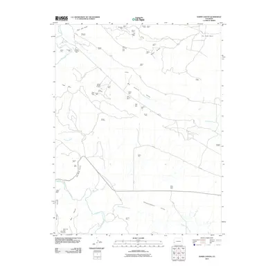 2010 Hamm Canyon2010 Print · USGSSan Miguel County's mining history is on full display in this early twenty-first-century survey of the high plateau and canyon country. Researchers and geologists can trace the locations of dozens of named sites, from the Uncle Sam Mine to the Sunday Mine and Saint Jude Mine.
 - 2010 Map of Egnar, 2010 Print
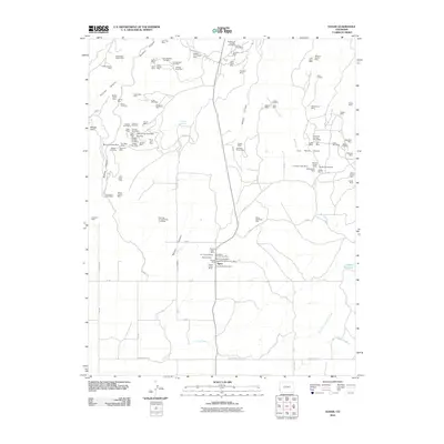 2010 Egnar2010 Print · USGSNear the Utah border in the early twenty-first century, this area of San Miguel County reveals a landscape dominated by historic mining claims. Researchers can trace dozens of specific sites like the Goforth Homestead Mine, The Spud Patch, and the Little Helen Mine.
 - 2010 Map of Naturita NW, 2010 Print
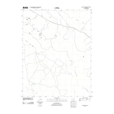 2010 Naturita NW2010 Print · USGSWestern Montrose County at the start of the decade was a landscape of high mesas and deep mining history. Genealogists and industrial historians can trace the locations of many named claims like the Thunderbolt Mine, Deer Shaft Mine, and Rigel Mine.
 - 2010 Map of Redvale, 2010 Print
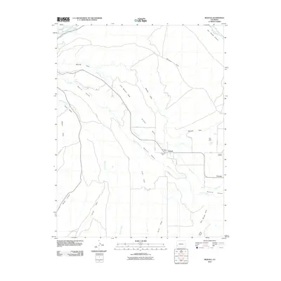 2010 Redvale2010 Print · USGSMontrose County at the start of the decade shows a plateau landscape shaped by high-altitude ranching and coal mining. Researchers can trace the legacy of local industry through the Klondyke Mine and Rice Coal Mine or locate family plots at the Coventry Cemetery.
 - 2010 Map of McKenna Peak, 2010 Print
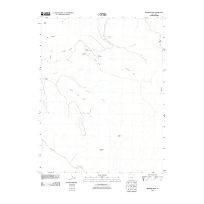 2010 McKenna Peak2010 Print · USGSDolores County in the early twenty-first century reveals a landscape shaped by high-desert ranching and remote homesteading. Genealogists and local historians can locate early family sites like Bassnet Homestead and landmark peaks including McKenna Peak.
 - 2010 Map of Basin, 2010 Print
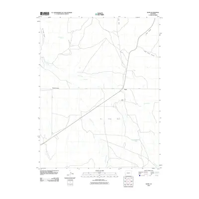 2010 Basin2010 Print · USGSSan Miguel County ranchlands and high-desert drainages are meticulously detailed in this early twenty-first-century survey. Researchers can locate remote rural landmarks like Beards Corner, Young Ranch, and the isolated Poison Spider Spring.
 - 2010 Map of North Mountain, 2010 Print
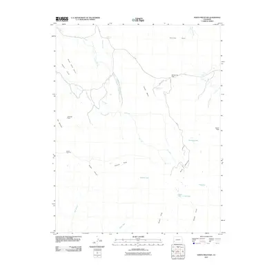 2010 North Mountain2010 Print · USGSDolores County’s high mesa country is captured here during the first decade of the millennium, showing a landscape defined by water scarcity and ranching. Researchers can trace historic water routes like the Desert Claim Ditch or locate Jensens Cow Camp and Sandys Fort Pass.
 - 2010 Map of Gypsum Gap, 2010 Print
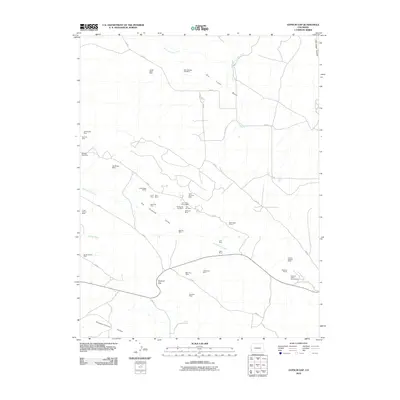 2010 Gypsum Gap2010 Print · USGSSan Miguel County at the start of the 2010s was a landscape defined by its deep mining history and isolated high-desert valleys. Genealogists and historians can trace numerous specific claims like the Klondike Mine, Phillips 66 One Mine, and the Windswept Mine near Gypsum Gap.
 - 2011 Map of Horse Range Mesa, 2011 Print
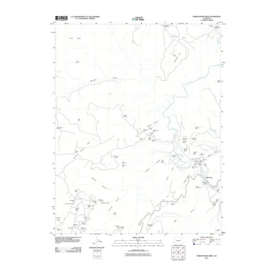 2011 Horse Range Mesa2011 Print · USGSSan Miguel County's mining history is preserved on this recent survey of the uranium-rich mesas and canyons along the Dolores River. Researchers can trace dozens of specific claims and remote operations like the Tailholt Mines, Veta Glad Mine, and the Slick Rock settlement.
 - 2011 Map of Bull Canyon, 2011 Print
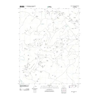 2011 Bull Canyon2011 Print · USGSMontrose County was a focal point of uranium and mineral exploration in the early twenty-first century, evidenced by this dense network of high-desert claims. Researchers can trace the rugged access roads to Bachelor Camp, Indian Henrys Cabin, and the extensive Monogram Mines.
 - 2011 Map of Naturita, 2011 Print
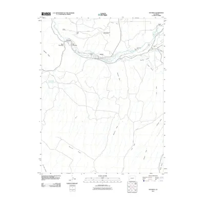 2011 Naturita2011 Print · USGSThe mining corridor along the San Miguel River is shown in detail during the early twenty-first century. Researchers can trace the legacy of local industry through named sites like the Ute Mine, Emma Mine, and the residential layout of Vancorum.
 - 2011 Map of Anderson Mesa, 2011 Print
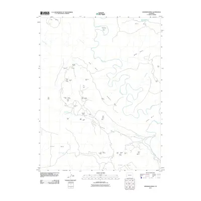 2011 Anderson Mesa2011 Print · USGSMontrose County was a center for high-desert mining during the early twenty-first century, as shown in this detailed survey of its canyonlands. Researchers can trace the legacy of local industry through named claims like the Morning Star Mine, Happy Jack Mine, and Big Medicine Mine.
 - 2011 Map of Lisbon Gap, 2011 Print
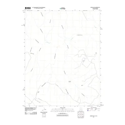 2011 Lisbon Gap2011 Print · USGSThe high desert plateaus of Montrose County are revealed here in the early twenty-first century, showing a landscape shaped by mining and deep erosion. Researchers can locate specific operations like the Radar Mine or trace the geography of the Lower Libson Valley and Lisbon Gap.
 - 2011 Map of Piute Knoll, 2011 Print
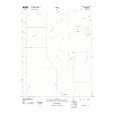 2011 Piute Knoll2011 Print · USGSSan Juan County mining country is captured here in the early twenty-first century, showing a landscape defined by mineral extraction and desert hydrology. Researchers can locate numerous specific prospects like the Deremo Mine Number 1, Silver Bell Mine, and Last Hope Mine.
 - 2011 Map of Summit Point, 2011 Print
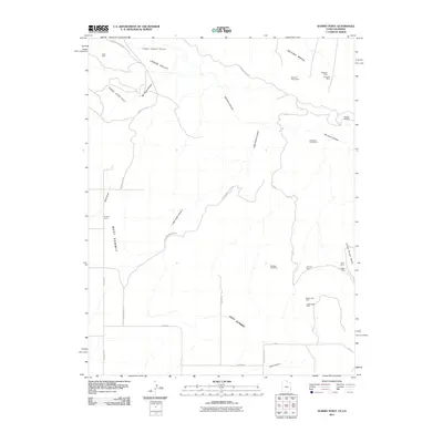 2011 Summit Point2011 Print · USGSSan Juan County, Utah, is shown at the height of modern mineral exploration in the early 2000s. Researchers can trace the extensive network of high-desert industrial sites including the Vanadium Queen Mine, Happy Jack Mine, and the landmark Summit Point.
 - 2011 Map of Horsefly Peak, 2011 Print
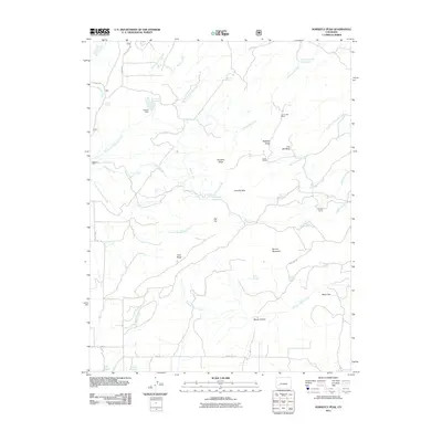 2011 Horsefly Peak2011 Print · USGSThe Uncompahgre Plateau high country is shown here in the early twenty-first century as a landscape of ranching and high-altitude mining. Researchers can locate remote sites like the Liberty Bell Mines, Hofmann Ranch, and family-named camps such as Phillips Camp.
 - 2011 Map of Hotchkiss Reservoir, 2011 Print
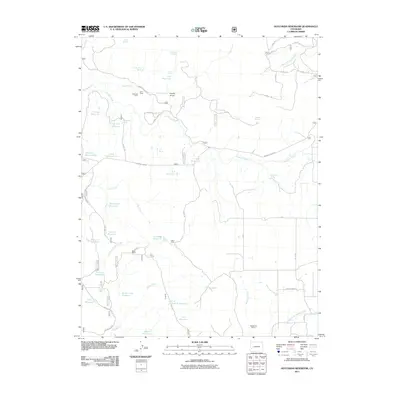 2011 Hotchkiss Reservoir2011 Print · USGSMontrose County ranching and water management are the focus of this early twenty-first-century survey. Local historians can trace high-country seasonal outposts and family-named land features like Spear Ranch, Galloway Camp, and Barnes Mill Reservoir.
 - 2011 Map of Placerville, 2011 Print
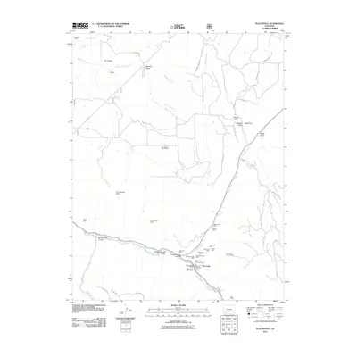 2011 Placerville2011 Print · USGSPlacerville and the San Miguel River corridor are shown during a period of modern mapping and continued mining activity. Researchers can locate numerous claims like the Omega Mine and Wilson and Chambers Mine, or trace the grounds of the Iron Springs Mesa School.
 - 2011 Map of Gurley Canyon, 2011 Print
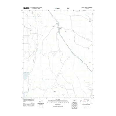 2011 Gurley Canyon2011 Print · USGSSan Miguel County ranching and mining operations are captured here during the early twenty-first century. Genealogists and historians can trace water rights and mineral claims through features like Gurley Reservoir, Granger Placer Mine, and San Miguel Ranch.
 - 2011 Map of Mount Wilson, 2011 Print
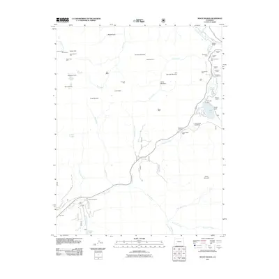 2011 Mount Wilson2011 Print · USGSHigh-altitude mining and alpine hydrology define this Colorado landscape during the early twenty-first century. Researchers can trace the heritage of local extraction at the Silver Pick Mine or explore the mountain settlements of Ames and Coke Oven.
 - 2011 Map of Oak Hill, 2011 Print
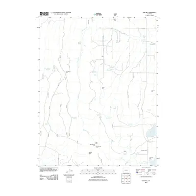 2011 Oak Hill2011 Print · USGSSan Miguel County ranchlands and irrigation networks are documented here in the early 21st century. Researchers can trace historic water rights and land use through features like the Yellow Girl Mine, Williams Cabin, and Gurley Reservoir.
 - 2011 Map of Barkelew Draw, 2011 Print
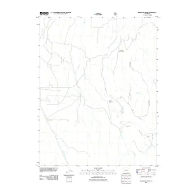 2011 Barkelew Draw2011 Print · USGSSan Miguel County's high-plateau water systems are documented here in the early twenty-first century. Researchers can trace the engineering of the Lilylands Canal and the Two Fork Reservoir alongside natural features like Barkelew Draw.
 - 2011 Map of Gray Head, 2011 Print
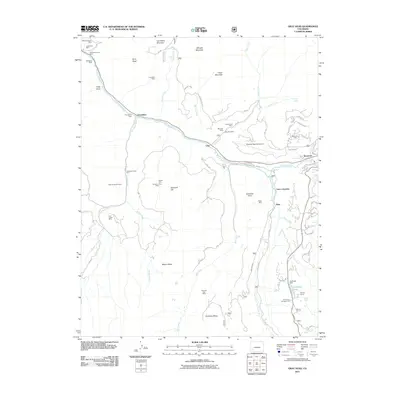 2011 Gray Head2011 Print · USGSSan Miguel County is captured here in the early twenty-first century, showcasing its transition from a mining hub to a modern mountain destination. Genealogists and historians can trace old claims like the Belle Champion Mine or locate historic trackside spots like Vance Junction and Ilium.
 - 2011 Map of Ophir, 2011 Print
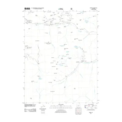 2011 Ophir2011 Print · USGSOphir and its surrounding mining districts are captured here in a moment where industrial history meets high-mountain geography. Researchers can trace the heritage of the Ophir Loop and locate dozens of historic claims including the Gold King Mine and Ophir Tunnel Mine.
 - 2011 Map of Sanborn Park, 2011 Print
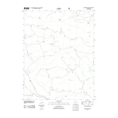 2011 Sanborn Park2011 Print · USGSMontrose County's high-country plateaus are documented here in the early twenty-first century, showing a landscape shaped by timber and water management. Trace local history through the McKeever Sawmill, the remote Logging Camp Draw Reservoir, and family-named landmarks like Hanks Valley.
Showing maps 1-25 of 145
Top cities of San Miguel County
- Telluride historical maps
- Mountain Village historical maps
- Norwood historical maps
- Ophir historical maps
- Sawpit historical maps
Frequently asked questions
- What are the different types of historical maps available for San Miguel County?
- What is the oldest map of San Miguel County?
- Where can I purchase historical maps of San Miguel County for my home or office?
- Where can I download high-res historical maps of San Miguel County?
- Are there historical topographic maps available for San Miguel County?
- Is there historical aerial imagery available for San Miguel County?
- Where are historical maps of San Miguel County sourced from?