2000s (21st Century) Maps of Summit County, Colorado
Explore 115 historic maps of Summit County from the 2000s (21st Century). These maps offer a rare glimpse into what life looked like during the 2000s — showing old roads, neighborhoods, homes, and landmarks that have changed or disappeared over time.
Whether you're researching your family's past, planning a metal detecting trip, or studying how Summit County's landscape evolved across the 2000s, these high-resolution maps are a powerful tool for exploring the history of this region.
- Focus on a specific era: All maps on this page are from the 2000s, giving you a focused view of this time period.
- See what’s changed: Compare century-old streets, trails, and buildings to today's modern landscape using overlays and satellite layers.
- Research with precision: Use these maps for genealogy, historical research, land use analysis, or educational projects.
- View, download, or print: Maps are fully viewable online in high resolution, and can be downloaded or printed for your own records.
Start exploring Summit County's history through authentic maps from the 2000s. This is your window into the past.
Summit County, CO maps
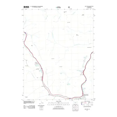
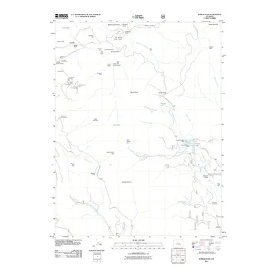
(115)- 2011 Map of Sheephorn Mountain, 2011 Print
 2011 Sheephorn Mountain2011 Print · USGSCovers Summit County, including Doenz Place, Sheephorn, and other nearby areas
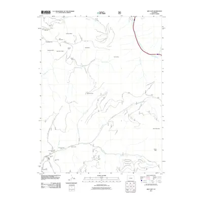
 - 2011 Map of Battle Mountain, 2011 Print
 2011 Battle Mountain2011 Print · USGSCovers Summit County, including Grand County, United States, and other nearby areas
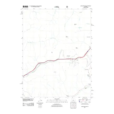
 - 2011 Map of Breckenridge, 2011 Print
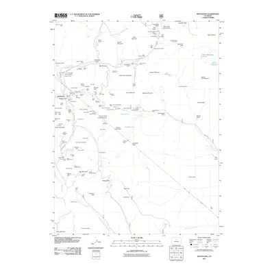
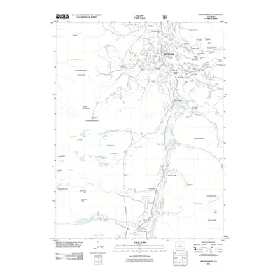 2011 Breckenridge2011 Print · USGSCovers Summit County, including Breckenridge, Blue River, and other nearby areas
 - 2011 Map of Willow Lakes, 2011 Print
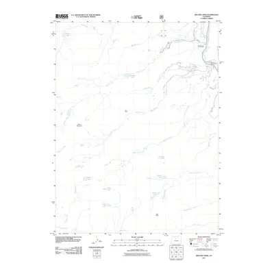 2011 Willow Lakes2011 Print · USGSCovers Summit County, including Eagle County, United States, and other nearby areas
 - 2011 Map of Mount Powell, 2011 Print
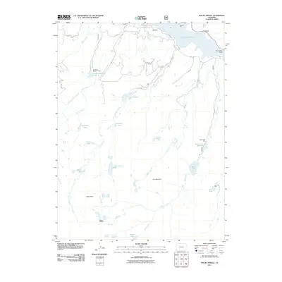 2011 Mount Powell2011 Print · USGSCovers Summit County, including Heeney, Eagle County, and other nearby areas
 - 2011 Map of Vail East, 2011 Print
 2011 Vail East2011 Print · USGSCovers Summit County, including Vail, Bighorn, and other nearby areas
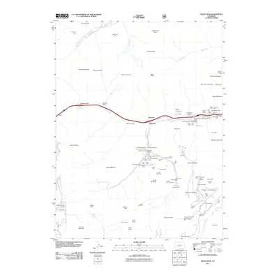
 - 2011 Map of Frisco, 2011 Print
 2011 Frisco2011 Print · USGSCovers Summit County, including Breckenridge, Silverthorne, and other nearby areas
 - 2011 Map of Eagle Roost, 2011 Print
 2011 Eagle Roost2011 Print · USGSCovers Summit County, including Slate Creek, Grand County, and other nearby areas
 - 2011 Map of Pando, 2011 Print
 2011 Pando2011 Print · USGSCovers Summit County, including Eagle County, United States, and other nearby areas
 - 2011 Map of Vail Pass, 2011 Print
 2011 Vail Pass2011 Print · USGSCovers Summit County, including Wheeler Junction, Copper Mountain, and other nearby areas
 - 2011 Map of Red Cliff, 2011 Print
 2011 Red Cliff2011 Print · USGSCovers Summit County, including Vail, Red Cliff, and other nearby areas
 - 2011 Map of Piney Peak, 2011 Print
 2011 Piney Peak2011 Print · USGSCovers Summit County, including Eagle County, United States, and other nearby areas
 - 2011 Map of Loveland Pass, 2011 Print
 2011 Loveland Pass2011 Print · USGSCovers Summit County, including Grand County, Clear Creek County, and other nearby areas
 - 2011 Map of Grays Peak, 2011 Print
 2011 Grays Peak2011 Print · USGSCovers Summit County, including Graymont, Bakerville, and other nearby areas
 - 2011 Map of Boreas Pass, 2011 Print
 2011 Boreas Pass2011 Print · USGSCovers Summit County, including Park County, United States, and other nearby areas
 - 2011 Map of King Creek, 2011 Print
 2011 King Creek2011 Print · USGSCovers Summit County, including Grand County, United States, and other nearby areas
 - 2011 Map of Alma, 2011 Print
 2011 Alma2011 Print · USGSCovers Summit County, including Alma, Park County, and other nearby areas
 - 2011 Map of Jefferson, 2011 Print
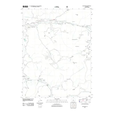
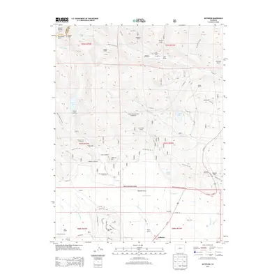
 2011 Jefferson2011 Print · USGSCovers Summit County, including Jefferson, Park County, and other nearby areas
 - 2011 Map of Keystone, 2011 Print
 2011 Keystone2011 Print · USGSCovers Summit County, including Saints John, Wild Irishman, and other nearby areas
 - 2011 Map of Ute Peak, 2011 Print
 2011 Ute Peak2011 Print · USGSCovers Summit County, including Leal, Grand County, and other nearby areas
 - 2011 Map of Montezuma, 2011 Print
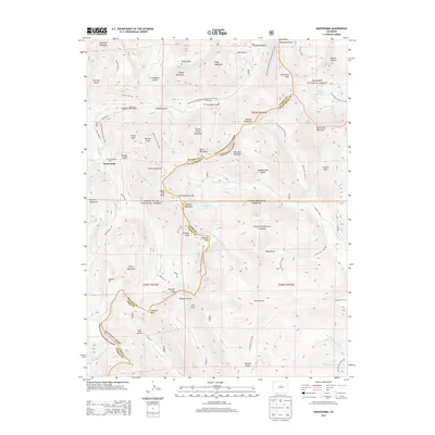
 2011 Montezuma2011 Print · USGSCovers Summit County, including Montezuma, Bruno Gulch Campground, and other nearby areas
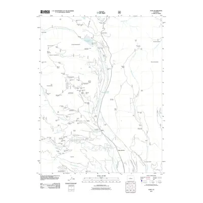
 - 2011 Map of Dillon, 2011 Print
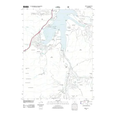
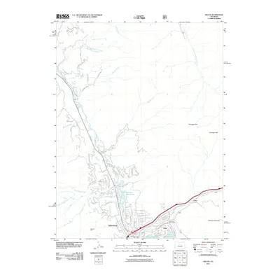 2011 Dillon2011 Print · USGSCovers Summit County, including Silverthorne, Dillon, and other nearby areas
 - 2011 Map of Copper Mountain, 2011 Print
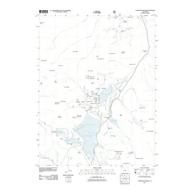 2011 Copper Mountain2011 Print · USGSCovers Summit County, including Eagle County, Park County, and other nearby areas
 - 2013 Map of Montezuma, 2013 Print
 2013 Montezuma2013 Print · USGSCovers Summit County, including Montezuma, Bruno Gulch Campground, and other nearby areas
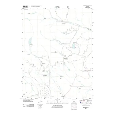
 - 2013 Map of Jefferson, 2013 Print
 2013 Jefferson2013 Print · USGSCovers Summit County, including Jefferson, Park County, and other nearby areas
Showing maps 1-25 of 115
Top cities of Summit County
- Breckenridge historical maps
- Silverthorne historical maps
- Frisco historical maps
- Dillon historical maps
- Blue River historical maps
- Montezuma historical maps
See more
Frequently asked questions
- What are the different types of historical maps available for Summit County?
- What is the oldest map of Summit County?
- Where can I purchase historical maps of Summit County for my home or office?
- Where can I download high-res historical maps of Summit County?
- Are there historical topographic maps available for Summit County?
- Is there historical aerial imagery available for Summit County?
- Where are historical maps of Summit County sourced from?