1950s Maps of Georgia
Explore 742 historic maps of Georgia from the 1950s. These maps offer a rare glimpse into what life looked like during the 1950s — showing old roads, neighborhoods, homes, and landmarks that have changed or disappeared over time.
Whether you're researching your family's past, planning a metal detecting trip, or studying how Georgia's landscape evolved across the 1950s, these high-resolution maps are a powerful tool for exploring the history of this region.
- Focus on a specific era: All maps on this page are from the 1950s, giving you a focused view of this time period.
- See what’s changed: Compare century-old streets, trails, and buildings to today's modern landscape using overlays and satellite layers.
- Research with precision: Use these maps for genealogy, historical research, land use analysis, or educational projects.
- View, download, or print: Maps are fully viewable online in high resolution, and can be downloaded or printed for your own records.
Start exploring Georgia's history through authentic maps from the 1950s. This is your window into the past.
Georgia maps
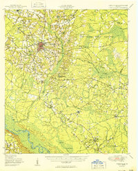
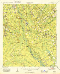
- 1950 Map of Louisville
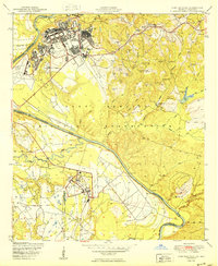
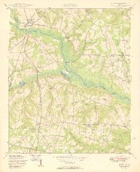
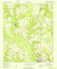 1950 Louisville1950 Print · USGSJefferson County, Georgia, is documented here at mid-century, centered on the historic town of Louisville and the Ogeechee River. Genealogists can trace rural communities through landmarks like Pioneer Church and School and Bothwell Cemetery.
 - 1950 Map of Hephzibah
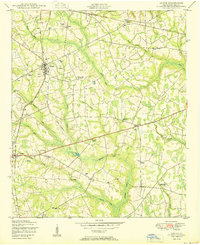
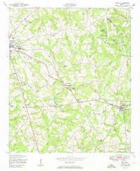
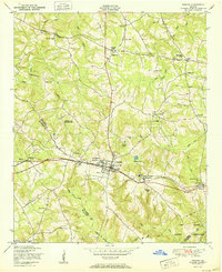
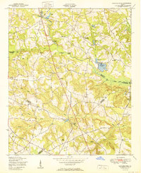
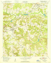 1950 Hephzibah1950 Print · USGSRichmond County in the early post-war era reveals a landscape of kaolin mining and deep-rooted rural communities. Researchers can trace family history through a wealth of landmarks like Albion Kaolin Chalk Mine, Adams Grove Church, and Bugs Cemetery.
 - 1950 Map of Waynesboro
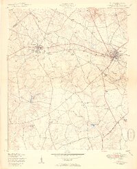
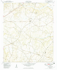
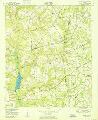
 1950 Waynesboro1950 Print · USGSWaynesboro and the surrounding Burke County countryside are shown here at the start of the 1950s. Genealogists can trace a unique network of dual-purpose rural sites like Beechwood Church and School and family landmarks such as Gray Family Cemetery.2 unique versions available
 - 1950 Map of Pembroke
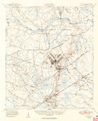
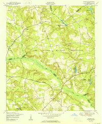
 1950 Pembroke1950 Print · USGSIn mid-century Bryan County, the landscape around Pembroke was a mix of vital rail lines and expanding military boundaries. Genealogists and local historians can trace family locations near Beautiful Zion Cem, Ash Branch Church, and the rural Esla Sch.2 unique versions available
 - 1950 Map of Glennville
 1950 Glennville1950 Print · USGSGlennville and the surrounding Tattnall County timberlands are captured here at mid-century as the local economy balanced millpond industry with a growing military presence. Researchers can trace rural life through scattered landmarks like Smiley Crossroads, Donald, and the Rye Patch Sch.2 unique versions available
 - 1950 Map of Gough
 1950 Gough1950 Print · USGSMid-century Burke County, Georgia, shows a rural landscape of family farmsteads and railroad-linked hamlets. Genealogists can trace family footprints at the Gough Family Cemetery or locate community landmarks like Noah's Ark Church and the L D Hill School.3 unique versions available
 - 1950 Map of Storys Millpond
 1950 Storys Millpond1950 Print · USGSEastern Georgia's rural Burke County landscape is documented here in the mid-twentieth century, showing a community built around local churches and watermills. Family researchers can trace ancestral ties through sites like Gresham Cemetery, Winters School, and Storys Millpond.2 unique versions available
 - 1950 Map of Grovetown
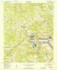 1950 Grovetown1950 Print · USGSGrovetown and the surrounding Georgia countryside are shown in detail at the dawn of the 1950s as the local landscape transitioned. Genealogists and historians can trace family locations through the Beale Family Cemetery, Jerusalem Church and School, and the sprawling Camp Gordon Military Reservation.
 - 1950 Map of Fort Benning
 1950 Fort Benning1950 Print · USGSFort Benning and the surrounding riverlands appear in sharp detail during the post-war era as the military reservation expanded across the Georgia-Alabama line. Researchers can trace the mid-century infrastructure of the Fort Benning post alongside natural landmarks like Uchee Creek and McMurrin Pond.
 - 1950 Map of Dearing
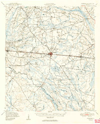
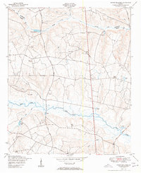
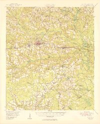
 1950 Dearing1950 Print · USGSIn the late 1940s, this area of Georgia was defined by the Georgia railroad corridor connecting small rail towns. Local historians can trace the foundations of these communities through landmarks like the Watson Family Cemetery, Farr School, and Boneville Pond.
 - 1950 Map of Wrens
 1950 Wrens1950 Print · USGSJefferson County mid-century life is centered on the railroad and mill towns of Stapleton and Wrens. Genealogists and historians can trace community roots through numerous family cemeteries and dual-purpose sites like the Lofton School Church and Cemetery or Harts Grove Church and Cemetery.3 unique versions available
 - 1950 Map of Hinesville
 1950 Hinesville1950 Print · USGSLiberty County was undergoing a major transformation at mid-century as the military footprint grew around Hinesville. Genealogists and historians can trace the foundations of this change through landmarks like Terrells Millpond, Providence School, and the Cypress Slash Cem.2 unique versions available
 - 1950 Map of Keysville
 1950 Keysville1950 Print · USGSBrier Creek and the surrounding farm country of Burke and Jefferson counties are shown here just after the war. Genealogists and historians can trace family-named sites like Pol Hill Cemetery, the Boggs Academy campus, and rural centers like Keysville and St Clair.2 unique versions available
 - 1950 Map of Harlem
 1950 Harlem1950 Print · USGSHarlem and its surrounding rail-side settlements are captured here at mid-century, just as the regional landscape was being reshaped by postwar growth. Genealogists can locate family-named landmarks like Walker Cemetery, Bynum Cemetery, and the Adams Chapel Church.
 - 1950 Map of Matthews
 1950 Matthews1950 Print · USGSThe Jefferson and Burke County borderlands come to life in the late 1940s, showing a rural Georgia landscape of connected farmsteads and parish life. Genealogists can locate family landmarks like Beasley Cemetery and community anchors like Ways Grove Church or Atwell School.3 unique versions available
 - 1950 Map of Waleska
 1950 Waleska1950 Print · USGSMid-century Northwest Georgia reveals a network of mountain ridges and creek-bottom farms connected by the Louisville and Nashville rail line. Genealogists can trace early landmarks like the County Home, Richardson Cemetery, and rural schools like Oak Hill School.2 unique versions available
 - 1950 Map of Meldrim
 1950 Meldrim1950 Print · USGSCoastal Georgia in the late forties is defined by the rail lines and river swamps that connect inland towns like Meldrim and Blitchton. Genealogists can trace family landmarks and rural life at the Scaffletown School, Bethesda Ch, and Blitch Cem.2 unique versions available
 - 1950 Map of Bowdens Pond
 1950 Bowdens Pond1950 Print · USGSMid-century rural Georgia comes to life where four counties meet, showing a landscape of small family farms and timberland. Genealogists can trace family names and local landmarks through Phillips Cemetery, the Purvis School, and Mt Aldrich Church.2 unique versions available
 - 1950 Map of Kellys Pond
 1950 Kellys Pond1950 Print · USGSThe Jefferson and Burke county line comes alive in the early post-war years, showcasing a rural landscape of plantations and family farmsteads. Researchers can locate early schools and cemeteries like Spies Hill School, Lockhart School, and the Rose Dhu Cemetery.2 unique versions available
 - 1950 Map of Avondale
 1950 Avondale1950 Print · USGSEastern Georgia's rural and military landscape is captured here in the years following World War II. Genealogists can trace family footprints through numerous local landmarks like Silver Run Church, Reeves School, and the Patterson Cemetery near the banks of Brier Creek.
 - 1950 Map of Limerick
 1950 Limerick1950 Print · USGSThe Georgia lowcountry at the mid-century mark shows a transition from coastal plantations to military and industrial expansion. Genealogists and historians can trace family roots through numerous sites like Dorchester Academy, Sunbury, and Scratchy Hall Cem.2 unique versions available
 - 1950 Map of Augusta West
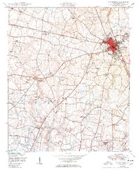
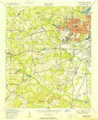 1950 Augusta West1950 Print · USGSMid-century Augusta shows the post-war shift from military hubs to suburban growth west of the city center. Genealogists and historians can trace family-named sites like Chavours Cemetery, Lombards Mill Pond, and the Augusta Arsenal.
 - 1950 Map of Claxton
 1950 Claxton1950 Print · USGSMid-century Evans County centers on the thriving rail corridor connecting Claxton, Hagan, and Daisy during the height of the Seaboard Air Line era. Genealogists and historians can locate numerous rural landmarks like the Ennis Branch School, Sikes Chapel, and the vast Camp Stewart Military Reservation.2 unique versions available
 - 1950 Map of Neels Gap, 1952 Print
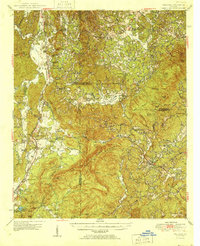
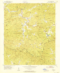
 1950 Neels Gap1952 Print · USGSNorth Georgia's high country is captured here at mid-century, as the Appalachian Trail wound through the peaks of the Chattahoochee National Forest. Local historians can trace old community landmarks like Mt Zion Ch, Mt Pisgah Sch, and the high waters of Lake Winfield Scott.4 unique versions available
 - 1950 Map of Suches, 1952 Print
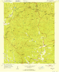
 1950 Suches1952 Print · USGSDeep in the Blue Ridge Mountains during the early fifties, this survey captures the rural character of Union and Lumpkin Counties. Genealogists can trace family roots through mountain settlements like Suches and Gaddistown, or locate remote landmarks like Mt Zion Ch and Woody Gap High Sch.4 unique versions available
Showing maps 1-25
Top cities of Georgia
- Atlanta historical maps
- Augusta historical maps
- Columbus historical maps
- Macon historical maps
- Savannah historical maps
- Athens historical maps
See more
Top counties of Georgia
- Fulton County historical maps
- Gwinnett County historical maps
- Cobb County historical maps
- DeKalb County historical maps
- Chatham County historical maps
- Clayton County historical maps
See more
Frequently asked questions
- What are the different types of historical maps available for Georgia?
- What is the oldest map of Georgia?
- Where can I purchase historical maps of Georgia for my home or office?
- Where can I download high-res historical maps of Georgia?
- Are there historical topographic maps available for Georgia?
- Is there historical aerial imagery available for Georgia?
- Where are historical maps of Georgia sourced from?