2000s (21st Century) Maps of Georgia
Explore 5,123 historic maps of Georgia from the 2000s (21st Century). These maps offer a rare glimpse into what life looked like during the 2000s — showing old roads, neighborhoods, homes, and landmarks that have changed or disappeared over time.
Whether you're researching your family's past, planning a metal detecting trip, or studying how Georgia's landscape evolved across the 2000s, these high-resolution maps are a powerful tool for exploring the history of this region.
- Focus on a specific era: All maps on this page are from the 2000s, giving you a focused view of this time period.
- See what’s changed: Compare century-old streets, trails, and buildings to today's modern landscape using overlays and satellite layers.
- Research with precision: Use these maps for genealogy, historical research, land use analysis, or educational projects.
- View, download, or print: Maps are fully viewable online in high resolution, and can be downloaded or printed for your own records.
Start exploring Georgia's history through authentic maps from the 2000s. This is your window into the past.
Georgia maps
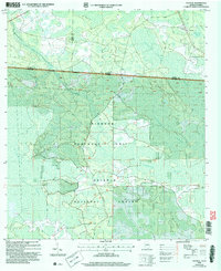
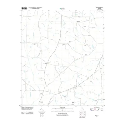
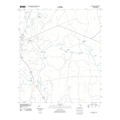
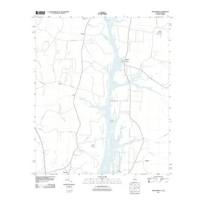
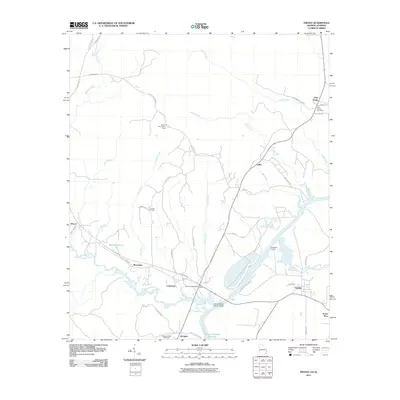
(5,123)- 2001 Map of Borden Springs, 2004 Print
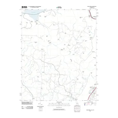
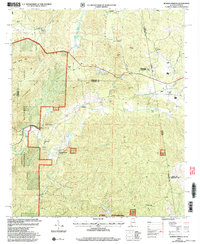 2001 Borden Springs2004 Print · USGSThe Alabama and Georgia state line meets at the turn of the millennium in this detailed survey of the Cleburne and Polk county borderlands. Genealogists and historians can trace old homesteads and local landmarks like Tecumseh Furnace, New Bethel Ch, and Borden Springs.
 - 2006 Map of Fargo SW, 2007 Print
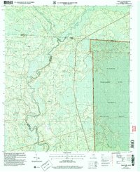 2006 Fargo SW2007 Print · USGSThe Georgia-Florida borderlands come into focus in the early 2000s, showing the dense wetlands where the Suwannee River meets the Osceola National Forest. Trace local history at Watson or locate the Hopewell Ch and its Cem near the riverbanks.
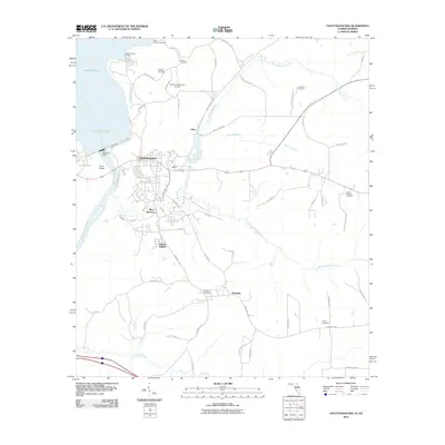
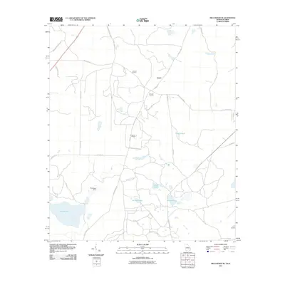
 - 2006 Map of Macclenny NW, 2007 Print
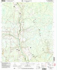 2006 Macclenny NW2007 Print · USGSThe Florida-Georgia borderlands along the St Marys River appear in detail in this mid-2000s survey of the northern Osceola National Forest. Researchers can trace rural lineages through local landmarks like Moniac Ch and family sites such as the Canaday Cem.
 - 2006 Map of Eddy, 2007 Print
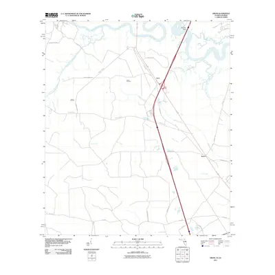
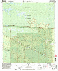 2006 Eddy2007 Print · USGSThe Florida-Georgia borderland is captured here at the start of the twenty-first century, showing the meeting point of three major public forests and refuges. Researchers can trace the rural settlement at Eddy, locate the Eddy Tower Lookout, and follow the remote path of the Eddy Grade through the Pinhook Swamp.
 - 2006 Map of Council, 2007 Print
 2006 Council2007 Print · USGSThe Georgia-Florida borderlands come to life in this mid-2000s study of the wetlands and forests south of Council. Researchers can trace the intersection of state lines through the Pinhook Swamp and follow landmarks like the Watson Line.
 - 2010 Map of Hooker, 2010 Print
 2010 Hooker2010 Print · USGSCovers Georgia, including Chattanooga, Trenton, and other nearby areas
 - 2010 Map of Fort Oglethorpe, 2010 Print
 2010 Fort Oglethorpe2010 Print · USGSCovers Georgia, including Chattanooga, East Ridge, and other nearby areas
 - 2010 Map of Cohutta, 2010 Print
 2010 Cohutta2010 Print · USGSCovers Georgia, including Varnell, Cohutta, and other nearby areas
 - 2010 Map of New Home, 2010 Print
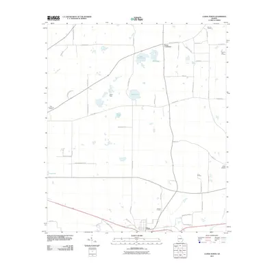
 2010 New Home2010 Print · USGSCovers Georgia, including Trenton, New Hope, and other nearby areas
 - 2011 Map of Whigham, 2011 Print
 2011 Whigham2011 Print · USGSCovers Georgia, including Whigham, Boydville, and other nearby areas
 - 2011 Map of Climax North, 2011 Print
 2011 Climax North2011 Print · USGSCovers Georgia, including Bainbridge, Climax, and other nearby areas
 - 2011 Map of Faceville, 2011 Print
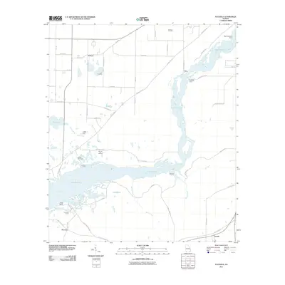 2011 Faceville2011 Print · USGSCovers Georgia, including Bethany, Faceville, and other nearby areas
 - 2011 Map of Reno, 2011 Print
 2011 Reno2011 Print · USGSCovers Georgia, including Tama, Reno, and other nearby areas
 - 2011 Map of Fowlstown, 2011 Print
 2011 Fowlstown2011 Print · USGSCovers Georgia, including Bainbridge, Fowlstown, and other nearby areas
 - 2011 Map of Fort Mitchell, 2011 Print
 2011 Fort Mitchell2011 Print · USGSCovers Georgia, including Phenix City, Nuckols, and other nearby areas2 unique versions available
 - 2011 Map of Boulogne, 2011 Print
 2011 Boulogne2011 Print · USGSCovers Georgia, including Folkston, Colerain, and other nearby areas
 - 2011 Map of Twin Springs, 2011 Print
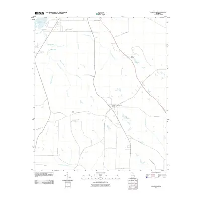
 2011 Twin Springs2011 Print · USGSCovers Georgia, including Eufaula, Florence, and other nearby areas2 unique versions available
 - 2011 Map of Chattahoochee, 2011 Print
 2011 Chattahoochee2011 Print · USGSCovers Georgia, including Chattahoochee, Rosedale, and other nearby areas
 - 2011 Map of Burnt Fort, 2011 Print
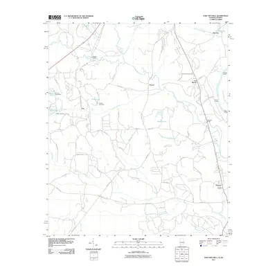
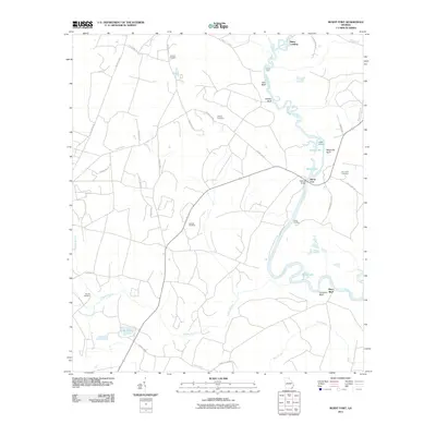 2011 Burnt Fort2011 Print · USGSCovers Georgia, including Folkston, Mays Bluff, and other nearby areas
 - 2011 Map of Miccosukee NE, 2011 Print
 2011 Miccosukee NE2011 Print · USGSCovers Georgia, including Leon County, Thomas County, and other nearby areas
 - 2011 Map of Omaha, 2011 Print
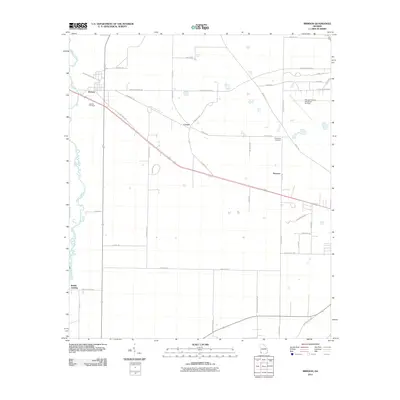
 2011 Omaha2011 Print · USGSCovers Georgia, including Cottonton, Loflin, and other nearby areas
 - 2011 Map of Steam Mill, 2011 Print
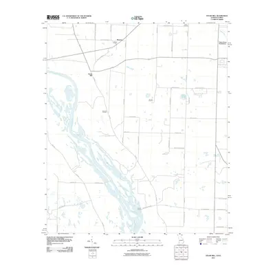 2011 Steam Mill2011 Print · USGSCovers Georgia, including Green Acres Subdivision, Steam Mill, and other nearby areas
 - 2011 Map of Brinson, 2011 Print
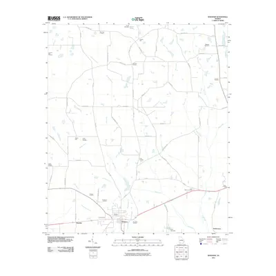
 2011 Brinson2011 Print · USGSCovers Georgia, including Brinson, Cyrene, and other nearby areas
 - 2011 Map of Sneads, 2011 Print
 2011 Sneads2011 Print · USGSCovers Georgia, including Sneads, Grand Ridge, and other nearby areas
 - 2011 Map of Gross, 2011 Print
 2011 Gross2011 Print · USGSCovers Georgia, including St. Marys, Gross, and other nearby areas
Showing maps 1-25 of 5,123
Top cities of Georgia
- Atlanta historical maps
- Augusta historical maps
- Columbus historical maps
- Macon historical maps
- Savannah historical maps
- Athens historical maps
See more
Top counties of Georgia
- Fulton County historical maps
- Gwinnett County historical maps
- Cobb County historical maps
- DeKalb County historical maps
- Chatham County historical maps
- Clayton County historical maps
See more
Frequently asked questions
- What are the different types of historical maps available for Georgia?
- What is the oldest map of Georgia?
- Where can I purchase historical maps of Georgia for my home or office?
- Where can I download high-res historical maps of Georgia?
- Are there historical topographic maps available for Georgia?
- Is there historical aerial imagery available for Georgia?
- Where are historical maps of Georgia sourced from?