2000s (21st Century) Maps of Bingham County, Idaho
Explore 295 historic maps of Bingham County from the 2000s (21st Century). These maps offer a rare glimpse into what life looked like during the 2000s — showing old roads, neighborhoods, homes, and landmarks that have changed or disappeared over time.
Whether you're researching your family's past, planning a metal detecting trip, or studying how Bingham County's landscape evolved across the 2000s, these high-resolution maps are a powerful tool for exploring the history of this region.
- Focus on a specific era: All maps on this page are from the 2000s, giving you a focused view of this time period.
- See what’s changed: Compare century-old streets, trails, and buildings to today's modern landscape using overlays and satellite layers.
- Research with precision: Use these maps for genealogy, historical research, land use analysis, or educational projects.
- View, download, or print: Maps are fully viewable online in high resolution, and can be downloaded or printed for your own records.
Start exploring Bingham County's history through authentic maps from the 2000s. This is your window into the past.
Bingham County, ID maps
(295)- 2010 Map of Little Butte NW, 2010 Print
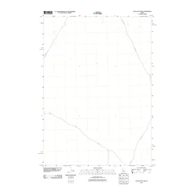 2010 Little Butte NW2010 Print · USGSBingham County's expansive desert landscape is revealed in the early twenty-first century, showing a remote network of range roads. Researchers can trace the paths of Birch Creek Rd, Shell Rd, and E Monument Line Rd through this quiet Idaho terrain.
 - 2010 Map of Buckskin Basin, 2010 Print
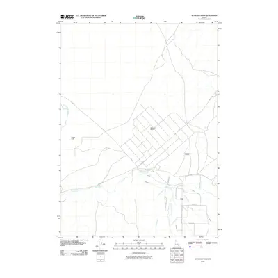 2010 Buckskin Basin2010 Print · USGSBannock County's high-desert ranching and irrigation systems are documented here in the early twenty-first century. Researchers can trace land use through features like Ross Fork Cemetery, the local Putnam Lodge, and landmarks such as Hyram Butte and Buckskin Basin.
 - 2010 Map of Moreland, 2010 Print
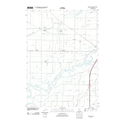 2010 Moreland2010 Print · USGSBingham County agriculture and irrigation are on full display in this early 21st-century study of the communities west of Blackfoot. Trace family history through the Moreland, Thomas Riverside, and Gibson Cemetery sites while exploring the intricate web of the Peoples Canal and Blackfoot River.
 - 2010 Map of Baldy Knoll, 2010 Print
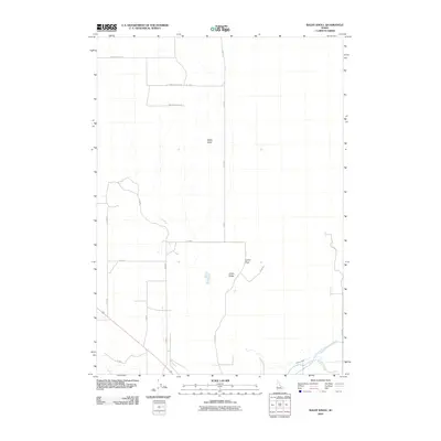 2010 Baldy Knoll2010 Print · USGSBingham County at the beginning of the twenty-first century shows a landscape shaped by high-desert agriculture and irrigation. Researchers can trace rural road networks like Baldy Knoll Loop and vital water systems including the Peoples Canal.
 - 2010 Map of Scoville, 2010 Print
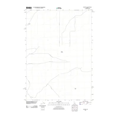 2010 Scoville2010 Print · USGSBingham County in the early twenty-first century reveals a landscape defined by significant volcanic landmarks and a dedicated desert road network. Researchers can trace the routes around Scoville or locate prominent features like Cerro Grande and Cedar Butte.
 - 2010 Map of Lincoln Creek, 2010 Print
 2010 Lincoln Creek2010 Print · USGSBingham County's agricultural and hydrologic character is preserved in this study of the Lincoln Creek area from 2010. Researchers can trace the intricate irrigation network through features like the Reservation Canal, the Lincoln Creek Valley, and Little Indian Rd.
 - 2010 Map of Atomic City, 2010 Print
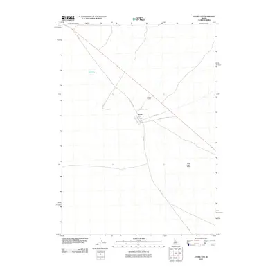 2010 Atomic City2010 Print · USGSAtomic City and the surrounding high desert are captured here in the early twenty-first century. Researchers can trace the layout of Atomic City and locate remote landmarks like Table Legs Butte, Midway Airport, and the isolated Cottontail Waterhole.
 - 2010 Map of Idaho Falls South, 2010 Print
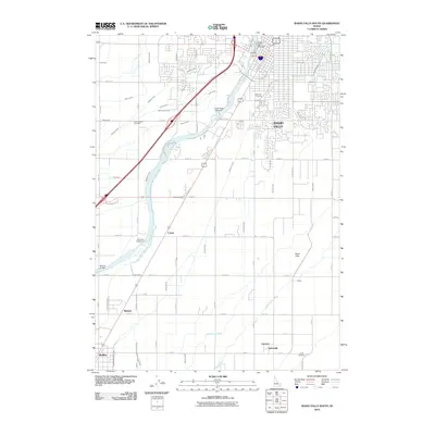 2010 Idaho Falls South2010 Print · USGSThe Snake River corridor south of Idaho Falls reveals a high-desert landscape transformed by a sophisticated network of canals and dams. Genealogists and researchers can trace local roots through Rose Hill Cemetery, Taylorville, and family-named landmarks like Bennett Bridge.
 - 2010 Map of Higham Peak, 2010 Print
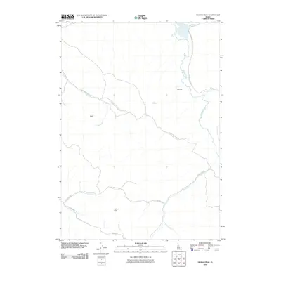 2010 Higham Peak2010 Print · USGSHigh-country peaks and drainage networks in Bingham County are documented here as they appeared in the early twenty-first century. Researchers can trace remote routes like Portneuf Presto Trail Rd or locate Alridge and the waters of Cove Spring.
 - 2010 Map of Coffee Point NE, 2010 Print
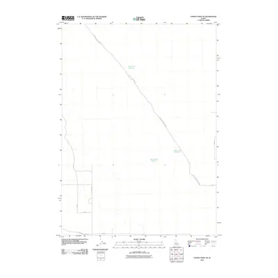 2010 Coffee Point NE2010 Print · USGSBingham County's high-desert landscape is captured here in the early twenty-first century, showing the critical water and road networks of eastern Idaho. Researchers can trace rural infrastructure across the plain, including Camp Four Reservoir, Duck Lake Reservoir, and the prominent Big Butte Springfield Rd.
 - 2010 Map of Lincoln Peak, 2010 Print
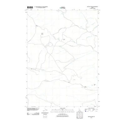 2010 Lincoln Peak2010 Print · USGSBannock County's mining landscape is captured here in the early twenty-first century, showing the industrial sites that shaped local history. Researchers can trace the layout of the Gay Mine and Westvaco Mine alongside landmarks like Lincoln Peak and Bakers Canyon.
 - 2010 Map of Middle Butte, 2010 Print
 2010 Middle Butte2010 Print · USGSBingham County's volcanic landscape is clearly defined in the early twenty-first century by the prominent peaks of Twin Buttes and Middle Butte. Researchers can trace the sparse network of rural corridors like Twin Buttes Rd and Section Rd through this desert terrain.
 - 2010 Map of Little Butte SW, 2010 Print
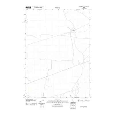 2010 Little Butte SW2010 Print · USGSThe high desert of Bingham County, Idaho, is captured here in the early 2000s, showcasing a landscape of vast volcanic features and rural outposts. Researchers can trace the layout of Argonne West or follow the paths of Stage Rd and Twin Buttes Rd toward the landmark of East Butte.
 - 2010 Map of Fort Hall, 2010 Print
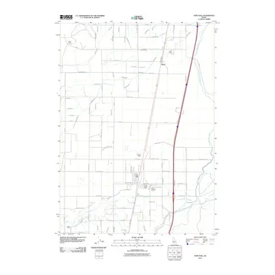 2010 Fort Hall2010 Print · USGSFort Hall and the surrounding agricultural plains are captured in the early 21st century, showing the sophisticated irrigation network of the Snake River Valley. Researchers can trace local landmarks like Good Shepherd Cemetery, the community of Gibson, and the path of the Fort Hall Main Canal.
 - 2010 Map of Rock Butte, 2010 Print
 2010 Rock Butte2010 Print · USGSThe high desert terrain of Bingham County is captured here in the early twenty-first century, showing a landscape defined by vital water resources. Researchers and outdoorsmen can trace remote access routes like Cow Pasture Rd to Rock Butte and Moose Reservoir.
 - 2010 Map of Olsen, 2010 Print
 2010 Olsen2010 Print · USGSBingham County's agricultural interior is captured here during the early 21st century, showing a landscape defined by its grid of rural roads. Genealogists and local historians can trace the specific locations of Olsen and Havens along W Taber Rd.
 - 2010 Map of Taber, 2010 Print
 2010 Taber2010 Print · USGSIn the arid landscape of Bingham County during the early 21st century, this survey documents the sparse settlement of the Snake River Plain. Researchers can trace the layout of rural communities like Taber and Fullmer along the historic path of W Taber Rd.
 - 2010 Map of Little Butte, 2010 Print
 2010 Little Butte2010 Print · USGSEastern Idaho's high desert landscape is shown here in the early twenty-first century, centered on the landmark of Little Butte. Researchers can trace the modern road network along 1600 West Rd and locate local water infrastructure like the Twin Buttes Number One Dam.
 - 2010 Map of Big Fill Reservoir, 2010 Print
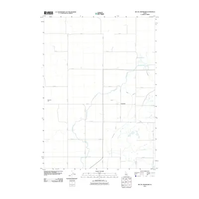 2010 Big Fill Reservoir2010 Print · USGSBingham County agriculture relied heavily on managed water systems during this era of Idaho's history. Genealogists and local historians can trace the irrigation network through Grandview and locate property relative to the Highline Canal and Big Fill Reservoir.
 - 2010 Map of Springfield NW, 2010 Print
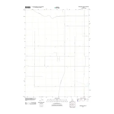 2010 Springfield NW2010 Print · USGSBingham County agricultural lands are shown in high detail during the early 2000s, revealing the precise grid of a high-desert farming community. Researchers can trace rural property access and infrastructure along Springfield Taber Rd, Hoff Rd, and Well No 2 Rd.
 - 2010 Map of Coffee Point SW, 2010 Print
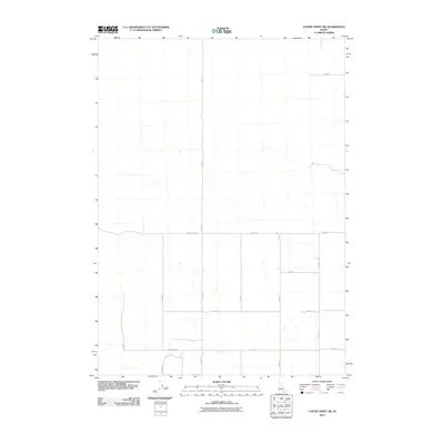 2010 Coffee Point SW2010 Print · USGSBingham County's rural landscape is captured here in the early twenty-first century, showing a high-desert region structured by a precise road grid. Genealogists and local historians can trace specific rural parcels via Crater Sub Rd, 1000 South Rd, and S 3300 W.
 - 2010 Map of Coffee Point, 2010 Print
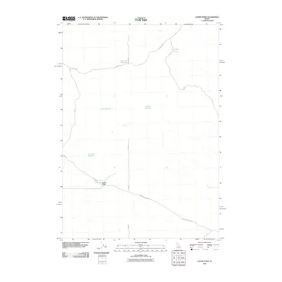 2010 Coffee Point2010 Print · USGSBingham County's high desert is captured here in the early twenty-first century, showing a landscape defined by ranching and water management. Researchers can trace remote desert roads and livestock water sources like Sauce Pan Reservoir and Coffee Point.
 - 2010 Map of Morgans Pasture NE, 2010 Print
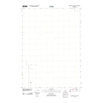 2010 Morgans Pasture NE2010 Print · USGSBonneville County in the early twenty-first century remains an area of open land and precise grid lines. Genealogists and local researchers can trace the intersection of E 1500 N and N 400 W near the locality of Morgans Pasture.
 - 2010 Map of Little Butte NE, 2010 Print
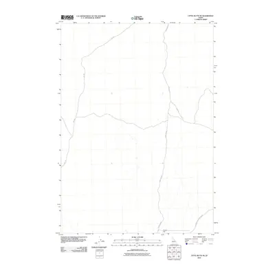 2010 Little Butte NE2010 Print · USGSBonneville County’s rural high desert is documented in 2010, showing the functional infrastructure of this open Idaho landscape. Researchers can trace the paths of W Mud Lake Rd and Sheep Rd as they converge near the distinctive Tractor Flat.
 - 2010 Map of Morgans Pasture NW, 2010 Print
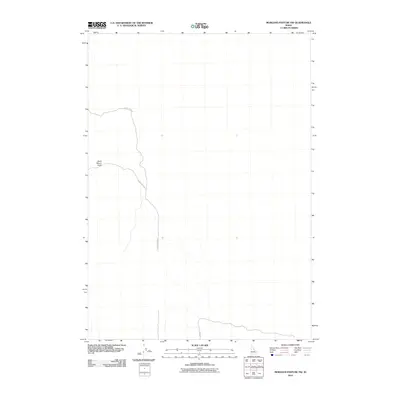 2010 Morgans Pasture NW2010 Print · USGSBonneville County’s open western landscape is captured here in the early twenty-first century, showing a territory defined by high-desert landmarks. Researchers can trace the path of 20 Mile Rock Rd or locate the elevation of Saint Marys Knoll.
Showing maps 1-25 of 295
Top cities of Bingham County
- Blackfoot historical maps
- Aberdeen historical maps
- Firth historical maps
- Basalt historical maps
- Atomic City historical maps
Frequently asked questions
- What are the different types of historical maps available for Bingham County?
- What is the oldest map of Bingham County?
- Where can I purchase historical maps of Bingham County for my home or office?
- Where can I download high-res historical maps of Bingham County?
- Are there historical topographic maps available for Bingham County?
- Is there historical aerial imagery available for Bingham County?
- Where are historical maps of Bingham County sourced from?