2020s Maps of Bingham County, Idaho
Explore 118 historic maps of Bingham County from the 2020s. These maps offer a rare glimpse into what life looked like during the 2020s — showing old roads, neighborhoods, homes, and landmarks that have changed or disappeared over time.
Whether you're researching your family's past, planning a metal detecting trip, or studying how Bingham County's landscape evolved across the 2020s, these high-resolution maps are a powerful tool for exploring the history of this region.
- Focus on a specific era: All maps on this page are from the 2020s, giving you a focused view of this time period.
- See what’s changed: Compare century-old streets, trails, and buildings to today's modern landscape using overlays and satellite layers.
- Research with precision: Use these maps for genealogy, historical research, land use analysis, or educational projects.
- View, download, or print: Maps are fully viewable online in high resolution, and can be downloaded or printed for your own records.
Start exploring Bingham County's history through authentic maps from the 2020s. This is your window into the past.
Bingham County, ID maps
(118)- 2020 Map of Aberdeen, 2020 Print
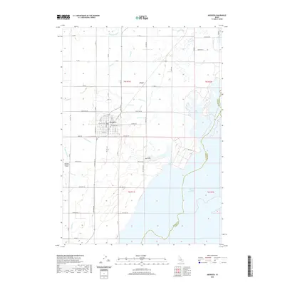 2020 Aberdeen2020 Print · USGSThe high desert plains of Bingham County meet the vast American Falls Reservoir in this modern survey of the region. Local researchers can trace the intricate irrigation network of the Highline Canal and Low Line Canal that supports the settlements of Aberdeen and Fingal.
 - 2020 Map of Schiller, 2020 Print
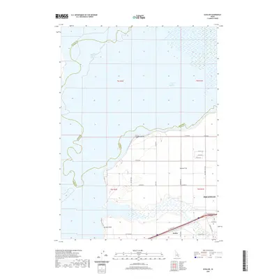 2020 Schiller2020 Print · USGSThe Snake River plain meets the growing edge of the city in the early twenty-first century. Researchers can trace the rural infrastructure of Michaud Flats and shoreline access points at Rainbow Beach and Schiller as they relate to Pocatello.
 - 2020 Map of Pillar Butte NE, 2020 Print
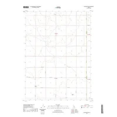 2020 Pillar Butte NE2020 Print · USGSBingham County's high desert landscape is captured here in the modern era, showing a grid of rural roads and volcanic terrain. Researchers can trace land divisions near Flat Top or locate geologic markers like Winters Blowout and Pleasant Valley.
 - 2020 Map of Pillar Butte SE, 2020 Print
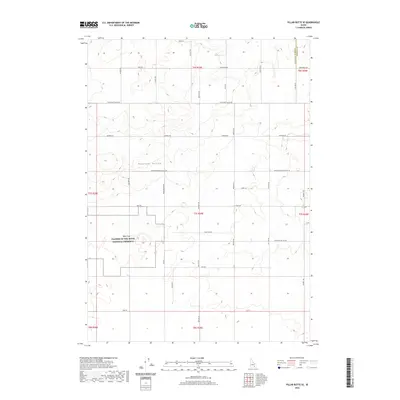 2020 Pillar Butte SE2020 Print · USGSBingham County's volcanic edge and agricultural valley meet here in the early twenty-first century. Genealogists and historians can trace family-named routes such as Burgemeister Rd and Quigley Rd alongside the Wapi Flow.
 - 2020 Map of American Falls SW, 2020 Print
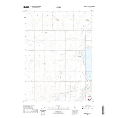 2020 American Falls SW2020 Print · USGSBingham County and Power County are captured here in 2020 at the intersection of the Snake River and high-desert agriculture. Researchers can trace rural family-named roads and water infrastructure from Pleasant Valley to the American Falls Reservoir and Highline Canal.
 - 2020 Map of American Falls NW, 2020 Print
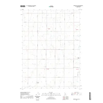 2020 American Falls NW2020 Print · USGSBingham County in 2020 shows an intricate landscape of irrigation and rural settlement across the Snake River Plain. Genealogists and researchers can trace local family names through routes like Hunsinger Loop and locate Homestead Cem near Pleasant Valley.
 - 2020 Map of American Falls, 2020 Print
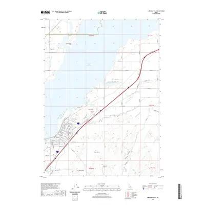 2020 American Falls2020 Print · USGSPower County settlement and water management take center stage in this 2020 study of the Snake River plain. Local historians can trace the townsite of American Falls and locate specific sites like the Falls View Cem and the Power County Courthouse.
 - 2020 Map of Homer Valley, 2020 Print
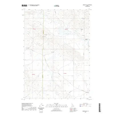 2020 Homer Valley2020 Print · USGSEastern Idaho's high-country terrain is captured here in the years following the millennium, showing the remote drainages of the Caribou Range. You can trace the winding path of the Grays Lake Outlet through Homer Valley or locate specific landmarks like Sugarloaf Mtn and Duckworth Meadows.
 - 2020 Map of Jumpoff Hill, 2020 Print
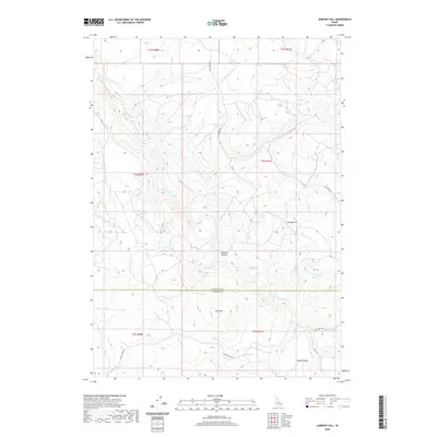 2020 Jumpoff Hill2020 Print · USGSThe high country along the Bonneville and Bingham county border is documented here in the early twenty-first century. Outdoorsmen and local historians can trace the remote canyons and drainage systems of Grays Lake Outlet and landmarks like Pine Mtn or Sawmill Canyon.
 - 2020 Map of Wolverine, 2020 Print
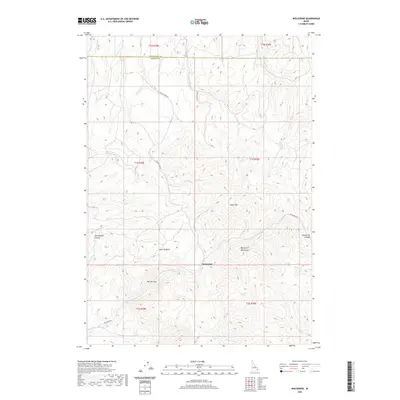 2020 Wolverine2020 Print · USGSThe high ridges of the Blackfoot Mountains are captured here in the early twenty-first century as they span the Bonneville and Bingham county line. Researchers can trace the rugged corridors of Wolverine Canyon and The Narrows or locate the settlement of Wolverine.
 - 2020 Map of Long Valley, 2020 Print
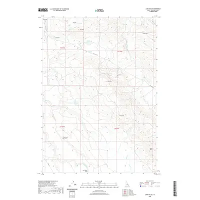 2020 Long Valley2020 Print · USGSBingham County's high-country terrain and volcanic geology are captured here in the contemporary era. Researchers can trace the drainage of Long Valley Cr through various water improvements like Robison Reservoir and identify named landmarks such as Three Buttes and Mollies Nipple.
 - 2020 Map of Little Valley Hills, 2020 Print
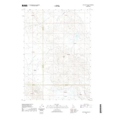 2020 Little Valley Hills2020 Print · USGSIn the Idaho highlands during the early twenty-first century, this map documents a remote landscape where three counties meet. Genealogists and local historians can trace the paths of Cranes Flat Rd and landmarks like Little Valley and Limerock Mtn.
 - 2020 Map of Moreland, 2020 Print
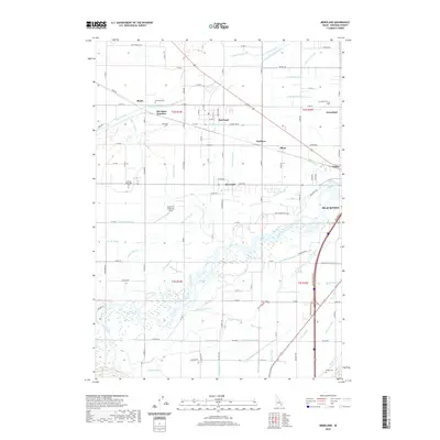 2020 Moreland2020 Print · USGSBingham County's agricultural heartland is revealed in the early twenty-first century, where the Snake River meets a vast irrigation network. Researchers can locate family plots at Moreland Cem or trace the routes of the Peoples Canal and Blackfoot River.
 - 2020 Map of Olsen, 2020 Print
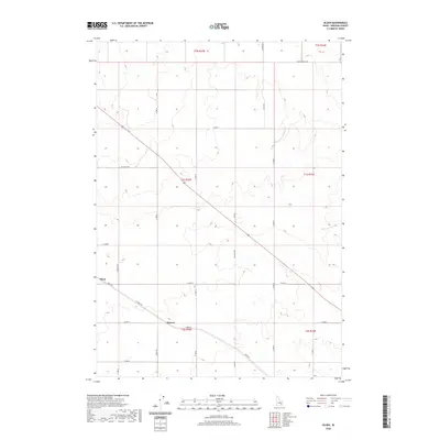 2020 Olsen2020 Print · USGSBingham County's agricultural grid and rural settlements are documented here in the early twenty-first century. Genealogists and local historians can trace the roads and property boundaries surrounding Olsen, Havens, and the long stretch of Taber Rd.
 - 2020 Map of Goshen, 2020 Print
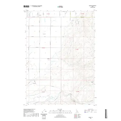 2020 Goshen2020 Print · USGSBingham County agriculture and the high desert hills meet in the years preceding the 2020s. Researchers can trace the sophisticated irrigation network of the Idaho Canal and Snake-R-Valley Canal or locate local landmarks like The Butte and Presto Bench.
 - 2020 Map of Taber, 2020 Print
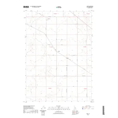 2020 Taber2020 Print · USGSSoutheastern Idaho's agricultural and volcanic landscapes come into focus here as they appeared recently. Genealogists and historians can trace the rural infrastructure around Taber and Fullmer, or locate specific landmarks like the Cinder Pit and Monument Rd.
 - 2020 Map of Atomic City, 2020 Print
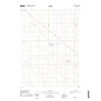 2020 Atomic City2020 Print · USGSAtomic City and the Snake River Plain are captured here in the early twenty-first century. Researchers can trace the desert road network including Taber Rd and locate local landmarks like Table Legs Butte and Midway Airport.
 - 2020 Map of Little Butte NE, 2020 Print
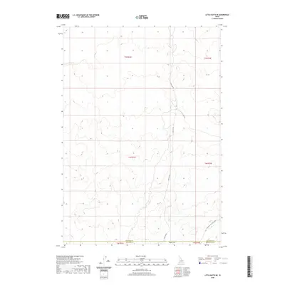 2020 Little Butte NE2020 Print · USGSThe open High Desert of eastern Idaho is captured in the modern era, showing the remote intersection of three county lines. Researchers can trace the sparse access routes through the landscape, including W Mud Lake Rd and the plains of Tractor Flat.
 - 2020 Map of Springfield NW, 2020 Print
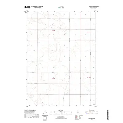 2020 Springfield NW2020 Print · USGSBingham County’s agricultural heartland is documented in the modern era, showing the intersection of irrigation and rural infrastructure. Genealogists and historians can trace family-named routes and water rights along Rockford Canal, Sheep Trail Rd, and Springfield Taber Rd.
 - 2020 Map of Buckskin Basin, 2020 Print
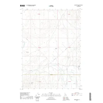 2020 Buckskin Basin2020 Print · USGSThe high basins and irrigation networks of the Idaho backcountry are captured here in the contemporary era. Researchers can trace rural cemetery locations like Ross Fork Cem and water systems including the Wenee Ditch and Fort Hall Main Canal.
 - 2020 Map of Poison Creek, 2020 Print
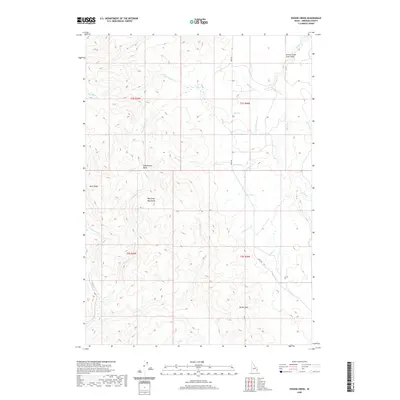 2020 Poison Creek2020 Print · USGSBingham County’s high country is captured here in the contemporary era, showing a landscape defined by the Blackfoot Mountains. Local historians can trace the path of Bone Rd through Tanner Pass or locate the site of the Dry Miner.
 - 2020 Map of Mosby Well, 2020 Print
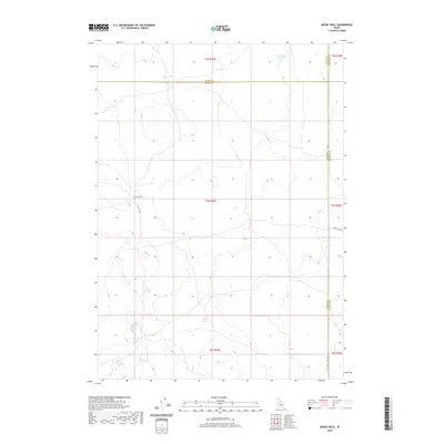 2020 Mosby Well2020 Print · USGSBingham, Power, and Blaine counties meet in this high-desert portion of Idaho during the early twenty-first century. Genealogists and researchers can trace the remote Mosby Well and the critical water catchments at Sand Lake Reservoir and Rock Lake.
 - 2020 Map of Firth, 2020 Print
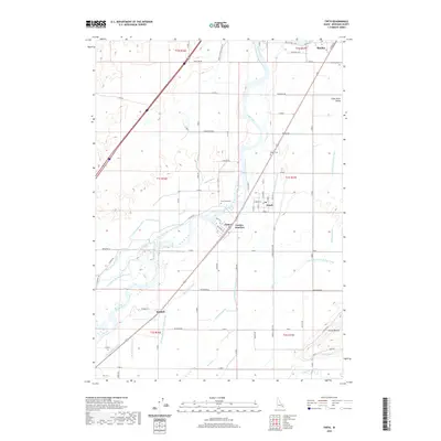 2020 Firth2020 Print · USGSBingham County's agricultural heartland is documented here at the turn of the decade, showing the intricate irrigation systems of the Snake River Valley. Trace family roots and local history through Firth, Basalt, and cemeteries like Riverview Cem.
 - 2020 Map of Higham Peak, 2020 Print
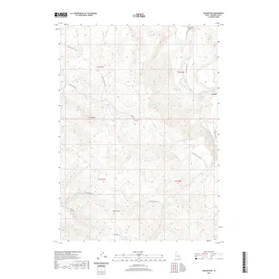 2020 Higham Peak2020 Print · USGSBingham County's high ridges and creek drainages are mapped in detail here during the early twenty-first century. Local history researchers can trace the winding Portneuf Presto Trail Rd and locate the settlement of Alridge near Cedar Cr.
 - 2020 Map of Ryegrass Flat, 2020 Print
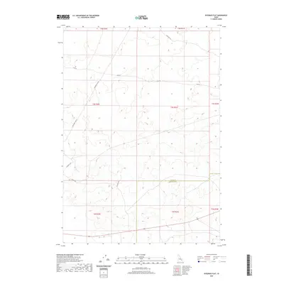 2020 Ryegrass Flat2020 Print · USGSBingham and Butte counties meet in this high-desert Idaho corridor during the early twenty-first century. Researchers can trace the layout of the regional landscape through thoroughfares like Stage Rd, E Monument Line Rd, and Fillmore Blvd.
Showing maps 1-25 of 118
Top cities of Bingham County
- Blackfoot historical maps
- Aberdeen historical maps
- Firth historical maps
- Basalt historical maps
- Atomic City historical maps
Frequently asked questions
- What are the different types of historical maps available for Bingham County?
- What is the oldest map of Bingham County?
- Where can I purchase historical maps of Bingham County for my home or office?
- Where can I download high-res historical maps of Bingham County?
- Are there historical topographic maps available for Bingham County?
- Is there historical aerial imagery available for Bingham County?
- Where are historical maps of Bingham County sourced from?