2020s Maps of Lemhi County, Idaho
Explore 253 historic maps of Lemhi County from the 2020s. These maps offer a rare glimpse into what life looked like during the 2020s — showing old roads, neighborhoods, homes, and landmarks that have changed or disappeared over time.
Whether you're researching your family's past, planning a metal detecting trip, or studying how Lemhi County's landscape evolved across the 2020s, these high-resolution maps are a powerful tool for exploring the history of this region.
- Focus on a specific era: All maps on this page are from the 2020s, giving you a focused view of this time period.
- See what’s changed: Compare century-old streets, trails, and buildings to today's modern landscape using overlays and satellite layers.
- Research with precision: Use these maps for genealogy, historical research, land use analysis, or educational projects.
- View, download, or print: Maps are fully viewable online in high resolution, and can be downloaded or printed for your own records.
Start exploring Lemhi County's history through authentic maps from the 2020s. This is your window into the past.
Lemhi County, ID maps
(253)- 2020 Map of Gooseberry Creek, 2020 Print
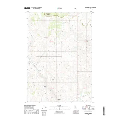 2020 Gooseberry Creek2020 Print · USGSCuster County's high mountain territory is captured here in the recent decade, showing the intersections of the Salmon and Challis National Forests. You can trace the rugged drainages of Boneyard Gulch and Mud Spring Gulch along the Morgan Cr corridor.
 - 2020 Map of White Goat Mountain, 2020 Print
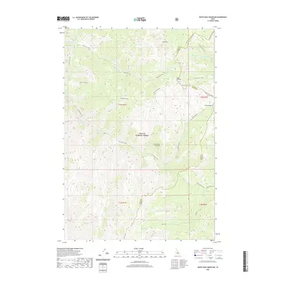 2020 White Goat Mountain2020 Print · USGSCuster County's high-country peaks and alpine lakes are captured here during a recent 2020 survey of the Salmon River Mountains. Trace the headwaters of White Goat Creek and locate remote landmarks like White Goat Lake or Camas Meadows along the Lemhi County line.
 - 2020 Map of Rock Creek, 2020 Print
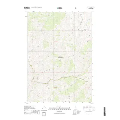 2020 Rock Creek2020 Print · USGSCuster County’s high-mountain wilderness is captured in the modern era as it spans the remote boundary with Lemhi County. Back-country researchers can trace historic forest routes like the Sleeping Deer Road and follow the drainages of Loon Creek and Warm Springs Creek.
 - 2020 Map of Falconberry Peak, 2020 Print
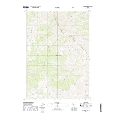 2020 Falconberry Peak2020 Print · USGSThe high wilderness of Custer County is captured here in the contemporary era, showing the protected lands of the Challis National Forest. Researchers can trace the rugged drainages of Loon Creek and Indian Cr or locate landmarks like Falconberry Peak.
 - 2020 Map of Italian Canyon, 2020 Print
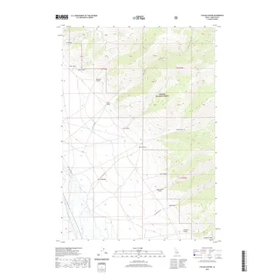 2020 Italian Canyon2020 Print · USGSLemhi County high country is shown here in the 2020s, highlighting the dramatic transition from valley floors to the mountain peaks. Trace backroad access and family-named landmarks like Scott Canyon Rd, Viola Gulch, and Italian Canyon.
 - 2020 Map of Allison Creek, 2020 Print
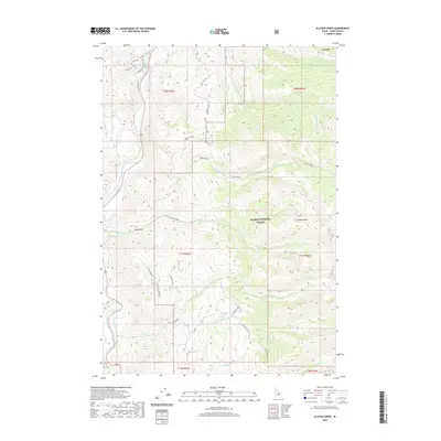 2020 Allison Creek2020 Print · USGSThis high-country Lemhi County landscape in the early twenty-first century reveals the enduring ranching and forest service footprints along the Salmon River. Researchers can trace the paths of Old Stage Rd, explore the drainages around Mckim Stock, and locate landmarks in the Salmon National Forest.
 - 2020 Map of Nicholia, 2020 Print
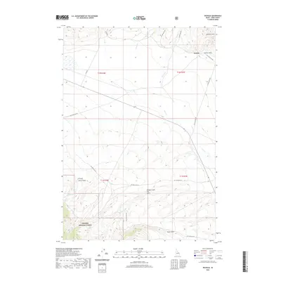 2020 Nicholia2020 Print · USGSLemhi County at the start of the 2020s remains a landscape of deep canyons and high mountain springs within the Targhee National Forest. Researchers can trace the geography of Nicholia and the various water sources like Magpie Spring and Keg Spring that sustain this high-desert environment.
 - 2020 Map of Sheephorn Peak, 2020 Print
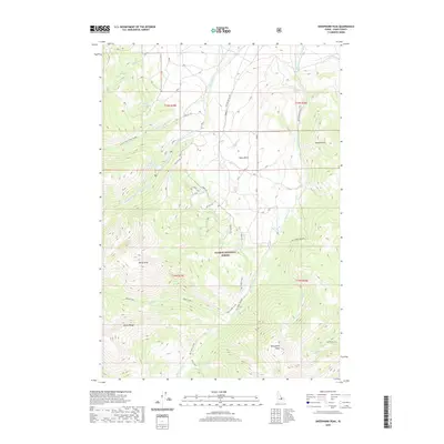 2020 Sheephorn Peak2020 Print · USGSLemhi County's high-altitude wilderness is captured here in the recent past, showcasing the primary summits and drainages of the Lemhi Range. Modern-day explorers and researchers can trace the routes of Big Timber Creek Road toward landmarks like Sheephorn Peak and Nez Perce Lake.
 - 2020 Map of Ennis Gulch, 2020 Print
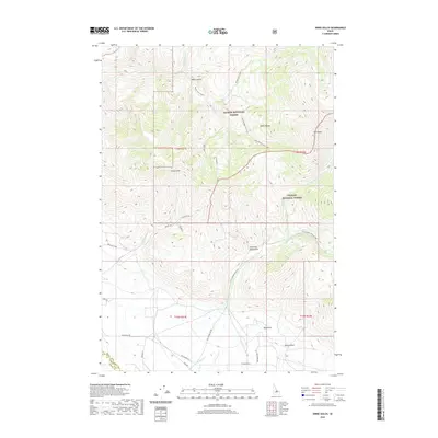 2020 Ennis Gulch2020 Print · USGSThe high Lemhi Range backcountry is captured here during the 2020s, showing the meeting of two national forests along the Custer County line. Researchers can trace remote landmarks like Fred and Mary Draw, Ennis Gulch, and the alpine Goat Lake.
 - 2020 Map of Bell Mountain, 2020 Print
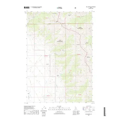 2020 Bell Mountain2020 Print · USGSThe high country near Clyde and the Lemhi Range is shown here as it stood in the early 21st century. Researchers can trace the rugged network of the Foss Mountain Trail, Birch Basin, and the drainage of the Little Lost River.
 - 2020 Map of Patterson, 2020 Print
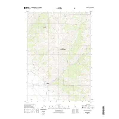 2020 Patterson2020 Print · USGSThe Lemhi Range foothills meet the Pahsimeroi Valley in this contemporary survey of a quiet Idaho ranching community. Trace the winding paths of Patterson-Morse Creek and Mahogany Cr near the settlement of Patterson.
 - 2020 Map of Coal Kiln Canyon, 2020 Print
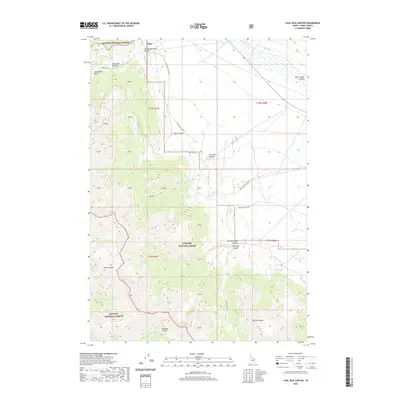 2020 Coal Kiln Canyon2020 Print · USGSLemhi County in the early twenty-first century reveals a landscape of deep canyons and high-mountain industry. Researchers can locate the historic Coal Kilns and trace the eastern slopes of the Lemhi Range from Hahn to McCoy Canyon.
 - 2020 Map of May Mountain, 2020 Print
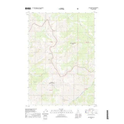 2020 May Mountain2020 Print · USGSThe high Lemhi Range and the borders of the Salmon and Challis National Forests are surveyed here in the early twenty-first century. Researchers can trace remote drainage networks along Hayden Creek, Morse Creek Rd, and the peaks of May Mtn.
 - 2020 Map of Leadore, 2020 Print
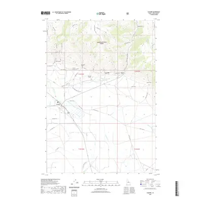 2020 Leadore2020 Print · USGSLeadore and the surrounding Lemhi County valleys are mapped here during a period of modern ranching and conservation. Genealogists and local historians can trace early legacy sites like Leadville, the Junction Cem, and the Old Leadore Ranger Station Rd.
 - 2020 Map of Lem Peak, 2020 Print
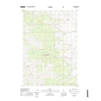 2020 Lem Peak2020 Print · USGSThe Lemhi Range and Salmon National Forest take center stage in this 2020 study of Idaho's high country. Researchers can trace alpine water systems and backcountry routes through First Basin, Bear Valley Lakes, and the surroundings of the prominent Lem Peak.
 - 2020 Map of Big Windy Peak, 2020 Print
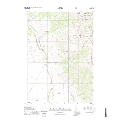 2020 Big Windy Peak2020 Print · USGSThe high Lemhi Range and the borders of three national forests meet in this modern survey of Custer and Lemhi counties. Geologists and outdoorsmen can trace primitive routes along Sawmill Canyon Road and find localized landmarks like Deer Flats or Big Windy Peak.
 - 2020 Map of Goldbug Ridge, 2020 Print
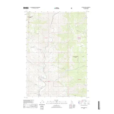 2020 Goldbug Ridge2020 Print · USGSThe Salmon River canyon in the Lemhi Range is captured here in the contemporary era, showing a landscape of high peaks and river-valley ranching. Genealogists and local historians can trace family-named sites like Iron Creek Cem or the remote Twelvemile Meadow.
 - 2020 Map of Copper Mountain, 2020 Print
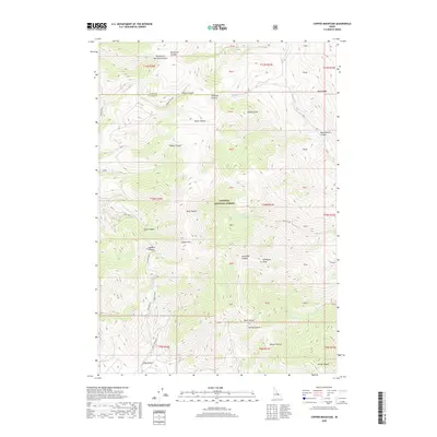 2020 Copper Mountain2020 Print · USGSThe high mountain reaches of Clark and Lemhi counties are documented here in 2020. Local history researchers can trace the roads near Skull Mine or locate landmarks like Copper Mountain, Gallagher Peak, and Kitty Spring.
 - 2020 Map of Poison Peak, 2020 Print
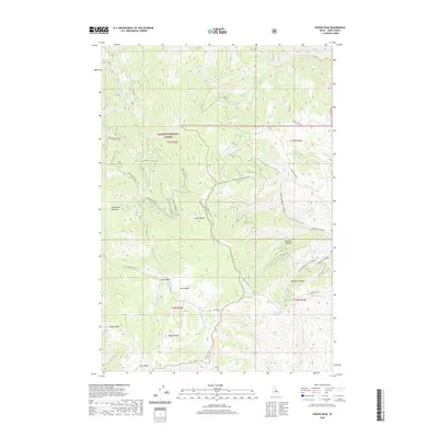 2020 Poison Peak2020 Print · USGSSalmon National Forest and the high peaks of the Lemhi Range are documented in this recent survey. Researchers can trace the drainage patterns and access routes through Mormon Canyon, Poison Peak, and the lush Twelvemile Meadows.
 - 2020 Map of Iron Creek Point, 2020 Print
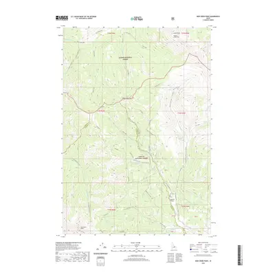 2020 Iron Creek Point2020 Print · USGSThe Lemhi Range high country is captured here in the early twenty-first century, spanning the border of Custer and Lemhi counties. Researchers can trace seasonal trails and forest routes reaching Timber Creek Pass, Iron Creek Point, and Sawmill Canyon.
 - 2020 Map of Mulkey Bar, 2020 Print
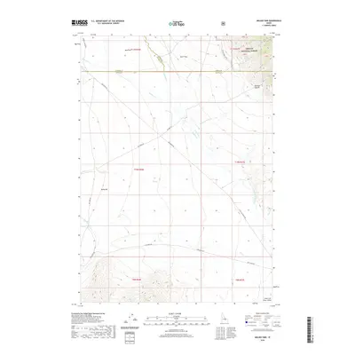 2020 Mulkey Bar2020 Print · USGSThe high-altitude basin of Custer County is captured here in the contemporary era, showing the intersection of forest lands and river valleys. Researchers can trace the path of the Little Lost River and find named landmarks like Mulkey Bar and Moffett Springs.
 - 2020 Map of May, 2020 Print
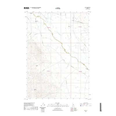 2020 May2020 Print · USGSThe Pahsimeroi Valley is captured here as a secluded high-country ranching hub during the twenty-first century. Researchers can trace the layout of the May settlement and its local May Cem or follow the waters of the Pahsimeroi River as it passes beneath the Lost River Range.
 - 2020 Map of Stroud Creek, 2020 Print
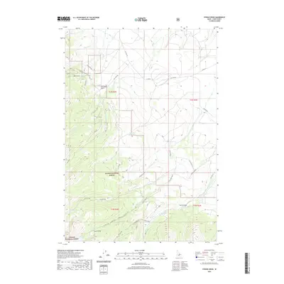 2020 Stroud Creek2020 Print · USGSThe high Lemhi Range is captured here in the 2020s, showing the intersection of the Salmon and Challis National Forests. Researchers can trace remote alpine features and primitive routes such as Stroud Lake, Devils Canyon, and the winding Mill Creek Rd.
 - 2020 Map of Yellow Peak, 2020 Print
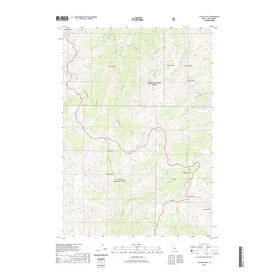 2020 Yellow Peak2020 Print · USGSThe Lemhi Range meets the forest wilderness near the settlement of Patterson in this recent survey. Researchers can trace the high-elevation drainage systems from Devils Basin and Devils Lake down to the named summits of Yellow Peak and Gunsight Peak.
 - 2020 Map of Goat Mountain, 2020 Print
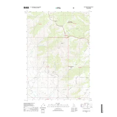 2020 Goat Mountain2020 Print · USGSThe high ridges of the Idaho-Montana border are captured here in the years following the turn of the millennium. Hikers and historians can trace the Continental Divide National Scenic Trail, locate the Buckhorn Mine, and follow the headwaters of the Lemhi River.
Showing maps 1-25 of 253
Top cities of Lemhi County
Frequently asked questions
- What are the different types of historical maps available for Lemhi County?
- What is the oldest map of Lemhi County?
- Where can I purchase historical maps of Lemhi County for my home or office?
- Where can I download high-res historical maps of Lemhi County?
- Are there historical topographic maps available for Lemhi County?
- Is there historical aerial imagery available for Lemhi County?
- Where are historical maps of Lemhi County sourced from?