2020s Maps of Cheyenne County, Kansas
Explore 30 historic maps of Cheyenne County from the 2020s. These maps offer a rare glimpse into what life looked like during the 2020s — showing old roads, neighborhoods, homes, and landmarks that have changed or disappeared over time.
Whether you're researching your family's past, planning a metal detecting trip, or studying how Cheyenne County's landscape evolved across the 2020s, these high-resolution maps are a powerful tool for exploring the history of this region.
- Focus on a specific era: All maps on this page are from the 2020s, giving you a focused view of this time period.
- See what’s changed: Compare century-old streets, trails, and buildings to today's modern landscape using overlays and satellite layers.
- Research with precision: Use these maps for genealogy, historical research, land use analysis, or educational projects.
- View, download, or print: Maps are fully viewable online in high resolution, and can be downloaded or printed for your own records.
Start exploring Cheyenne County's history through authentic maps from the 2020s. This is your window into the past.
Cheyenne County, KS maps
(30)- 2021 Map of Parks, 2021 Print
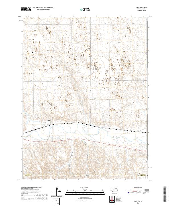 2021 Parks2021 Print · USGSThe community of Parks and the surrounding high plains are captured here in the 2020s, showing the intersection of Horse Cr and the Kansas border. Genealogists and local historians can locate Parks Cem and trace the rugged draws of Will Stafford Canyon and Smutz Canyon.
 - 2021 Map of Rock Creek Lake, 2021 Print
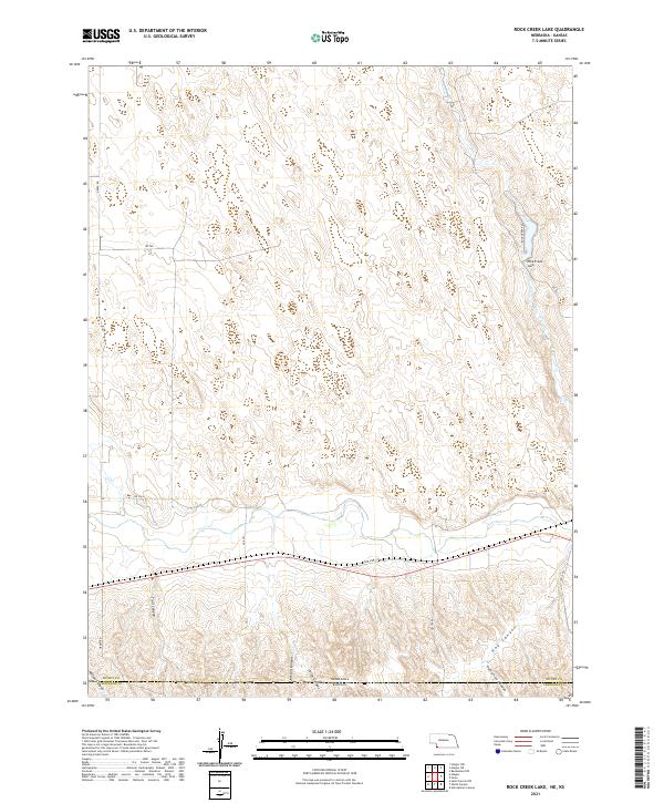 2021 Rock Creek Lake2021 Print · USGSDundy County, Nebraska, and the Kansas borderlands appear in recent detail on this modern survey. Researchers can trace the rugged drainage patterns of Trail Canyon and Hay Canyon or locate the shoreline of Rock Creek Lake.
 - 2021 Map of Max, 2021 Print
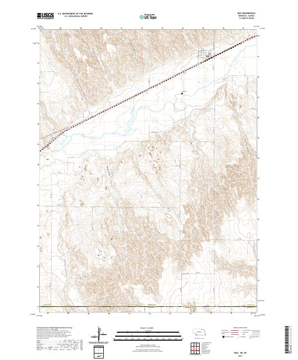 2021 Max2021 Print · USGSDundy County and the Kansas borderlands are captured here in a period of quiet agricultural continuity. Family historians and researchers can trace local landmarks like Max Cem and several distinct geological features including Hickman Canyon and Jones Canyon.
 - 2021 Map of Benkelman, 2021 Print
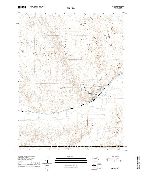 2021 Benkelman2021 Print · USGSBenkelman and the surrounding Dundy County high plains are captured here in the modern era as the regional rail and agricultural hub. Local historians can trace the town's footprint from the Dundy County Courthouse to rural landmarks like Hoppy's Airport and Twin Lakes.
 - 2021 Map of Haigler, 2021 Print
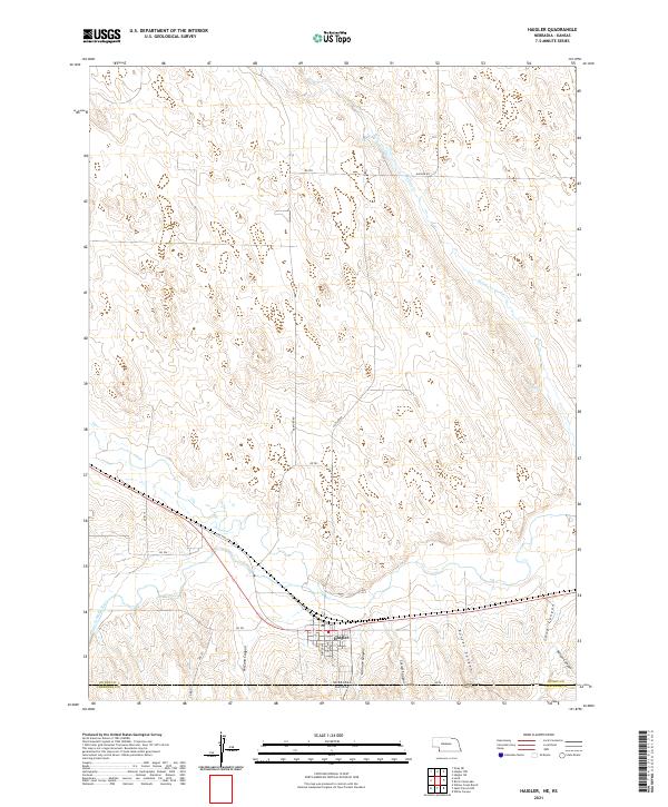 2021 Haigler2021 Print · USGSThe high plains of Dundy County meet the Kansas border in this recent survey of the southern Nebraska panhandle. Genealogists and researchers can trace the streets of Haigler and explore the complex terrain of McCann Canyon and Arikaree River.
 - 2022 Map of Hale Ponds, 2022 Print
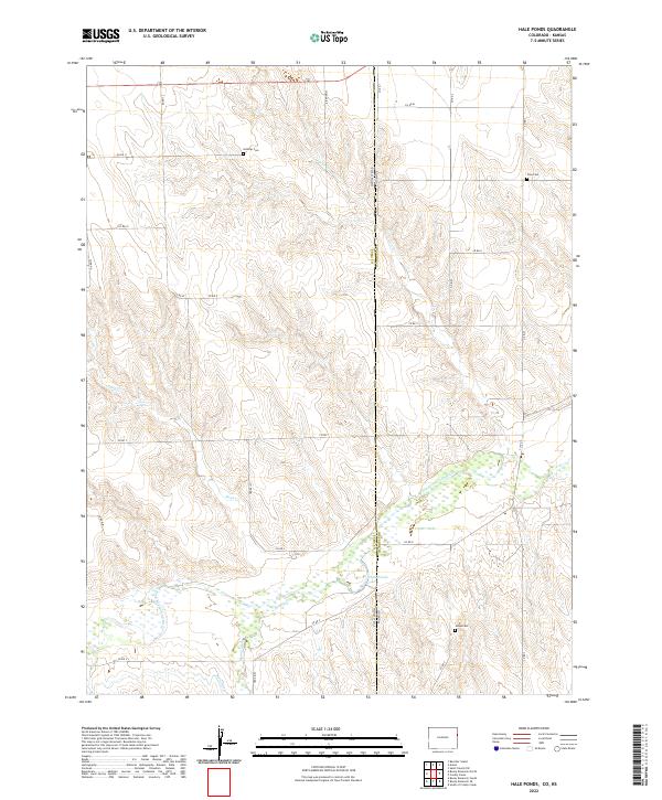 2022 Hale Ponds2022 Print · USGSThe Colorado and Kansas borderlands come alive in this recent survey, showcasing the managed water systems and cemeteries of the High Plains. Genealogists and local researchers can trace family roots at Gilstrap Cem and Zion Cem or study the hydrology of the S Fork Republican River and Hale Ponds.
 - 2022 Map of Armel, 2022 Print
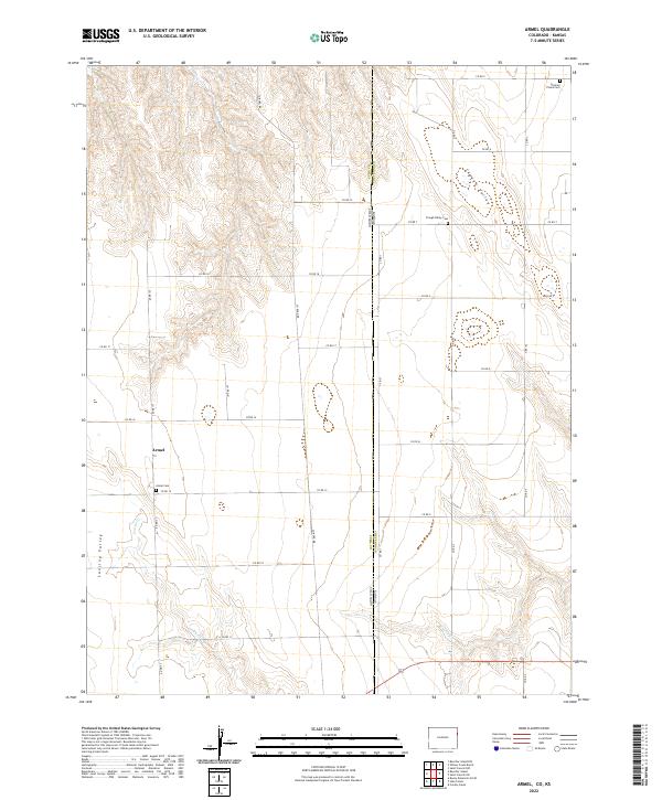 2022 Armel2022 Print · USGSThe borderlands of eastern Colorado and western Kansas are captured here in the early twenty-first century. Genealogists can trace family roots at Armel Cem, Clough Valley Cem, and German Plains Cem scattered across this high plains landscape.
 - 2022 Map of Willow Creek Ranch, 2022 Print
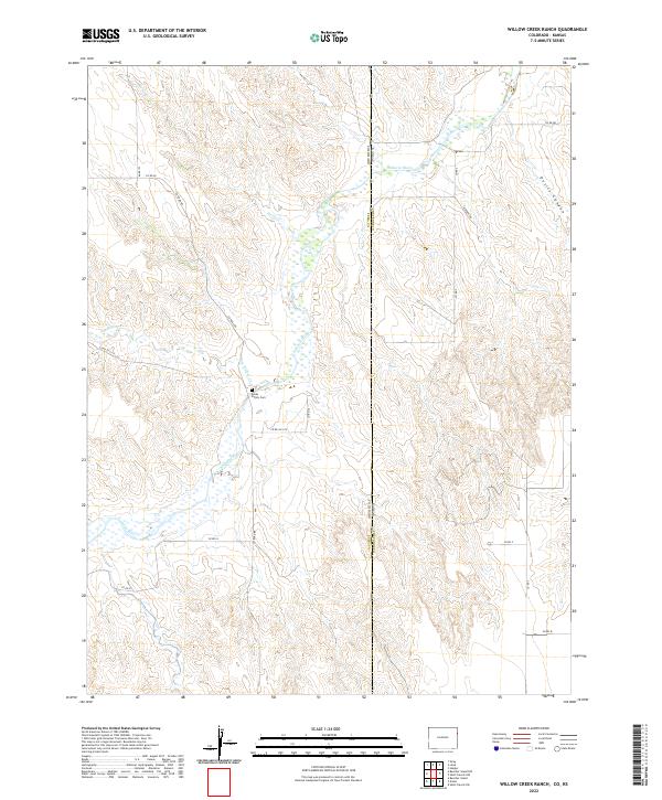 2022 Willow Creek Ranch2022 Print · USGSThe Colorado-Kansas borderlands in the early twenty-first century are defined by the wide, braided course of the Arikaree River. Genealogists and local historians can trace the Jones Family Cem and the rugged terrain of Devils Canyon.
 - 2022 Map of Laird, 2022 Print
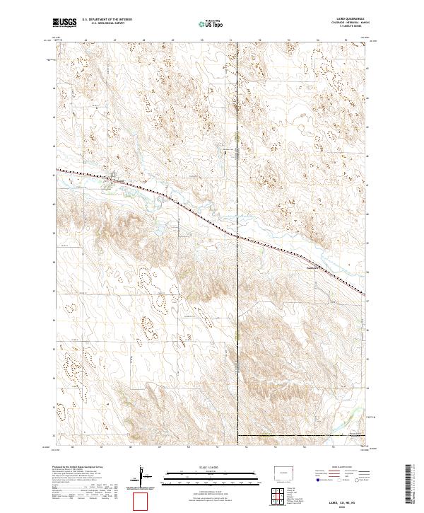 2022 Laird2022 Print · USGSNear the intersection of Colorado, Nebraska, and Kansas, the High Plains landscape of the 2020s remains defined by its river valleys and irrigation networks. Researchers can locate the Hanshaw Cem, the settlement of Laird, and trace the vital Laird Canal and Haigler Canal systems.
 - 2022 Map of Dewey Ranch SW, 2022 Print
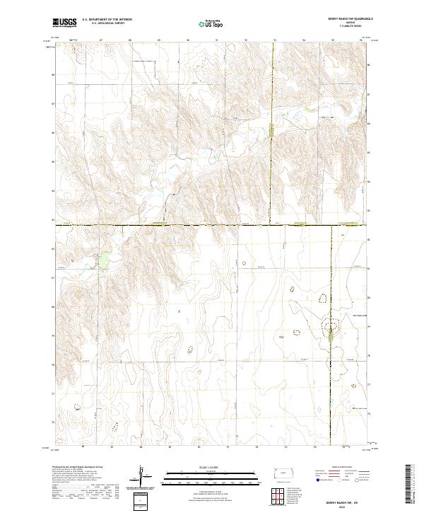 2022 Dewey Ranch SW2022 Print · USGSThe high plains of Northwest Kansas are shown in this contemporary study of the intersecting corners of Sherman, Rawlins, Cheyenne, and Thomas counties. Researchers can trace the path of Beaver Cr and the grid of section-line roads like CO RD 80 and CO RD D.
 - 2022 Map of Wheeler, 2022 Print
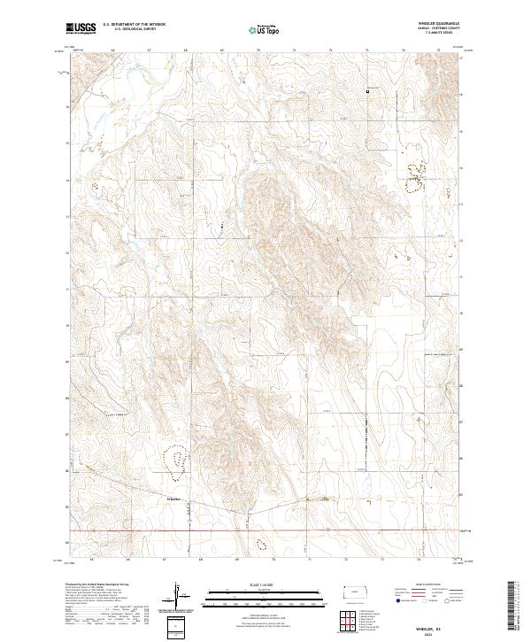 2022 Wheeler2022 Print · USGSCheyenne County land patterns are preserved here in the early twenty-first century, centered on the settlement of Wheeler. Genealogists and researchers can trace local family landmarks and burial sites like Barley Cem or follow the path of the S Fork Republican River.
 - 2022 Map of Heinzelman Canyon, 2022 Print
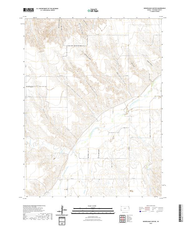 2022 Heinzelman Canyon2022 Print · USGSCheyenne County, Kansas, is shown here as a landscape of deep canyons and river valleys during the early twenty-first century. Researchers can trace family-named landmarks like Will Stafford Canyon and Magnani Canyon along the winding S Fork Republican River.
 - 2022 Map of Bird City South, 2022 Print
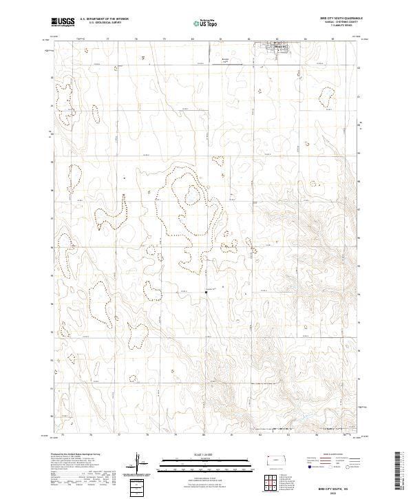 2022 Bird City South2022 Print · USGSHigh Plains agriculture and the southern edge of Bird City are documented in this recent survey of northwest Kansas. Genealogists and local historians can locate Greisler Cem and trace the drainage of Little Beaver Cr across the township lines.
 - 2022 Map of South of Drury Creek, 2022 Print
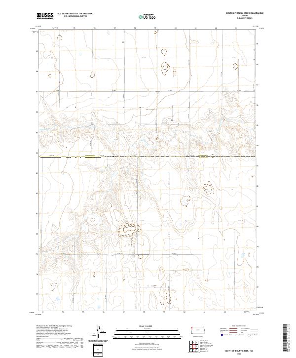 2022 South of Drury Creek2022 Print · USGSSherman County at the turn of the decade is defined by its expansive agricultural grid and seasonal waterways. Genealogists and researchers can trace the section-line roads of the High Plains, from CO RD 80 to the banks of Little Beaver Cr.
 - 2022 Map of Drury Creek, 2022 Print
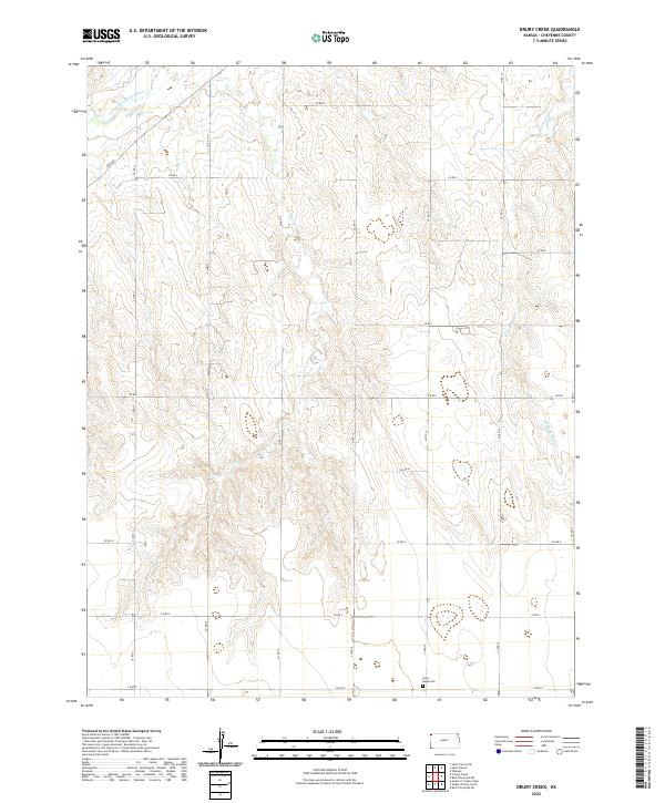 2022 Drury Creek2022 Print · USGSCheyenne County in the early twenty-first century maintains its grid-based agricultural character. Genealogists and local historians can locate Lawn Ridge Cem and trace the paths of Drury Cr and the S Fork Republican River.
 - 2022 Map of Bird City North, 2022 Print
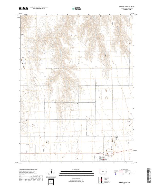 2022 Bird City North2022 Print · USGSCheyenne County as it appeared in the early 2020s shows a landscape defined by the high plains grid and deep canyon breaks. Researchers can trace the town layout of Bird City and locate the Bird City Cem or the winding path of Big Timber Cr.
 - 2022 Map of Bird City South SW, 2022 Print
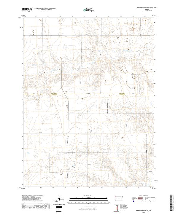 2022 Bird City South SW2022 Print · USGSSherman and Cheyenne counties are shown in the early 2020s, revealing the precise geometric order of the Kansas High Plains. Researchers can trace land divisions and rural infrastructure along Little Beaver Cr and major routes like Commerce Rd.
 - 2022 Map of Saint Francis NW, 2022 Print
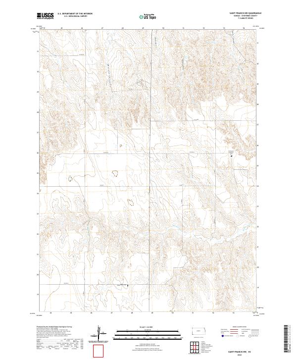 2022 Saint Francis NW2022 Print · USGSCheyenne County's northwestern high plains are documented here in the early twenty-first century. Genealogists can locate family sites near Immanuel Lutheran Cem and Hope Valley Cem along the Hackberry Cr drainage.
 - 2022 Map of White Canyon, 2022 Print
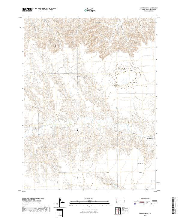 2022 White Canyon2022 Print · USGSCheyenne County land patterns are captured here in the early twenty-first century, showing a landscape defined by deep canyons and section roads. Researchers can trace rural genealogy and land use near Hackberry Cem, White Canyon, and Hackberry Cr.
 - 2022 Map of Crosby Creek, 2022 Print
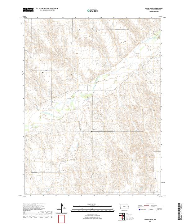 2022 Crosby Creek2022 Print · USGSCheyenne County in the early twenty-first century remains a landscape of high-plains agriculture defined by the S Fork Republican River. Researchers can locate rural burial grounds including Zion Evangelical Lutheran Cem and Battle Creek Cem among the drainages of Battle Cr.
 - 2022 Map of Bonny Reservoir SE, 2022 Print
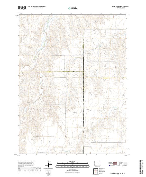 2022 Bonny Reservoir SE2022 Print · USGSThe Colorado-Kansas borderlands come into focus in this contemporary survey of the high plains. Researchers can trace the intersection of four counties and follow the drainages of Bonny Creek, Little Beaver Creek, and Battle Creek across the section-line grid.
 - 2022 Map of Bird City South NW, 2022 Print
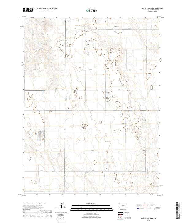 2022 Bird City South NW2022 Print · USGSThe high plains of Cheyenne County are captured here in the early 2020s, showing the enduring grid of agricultural life. Genealogists and researchers can locate family sites at Cheyenne Valley Cem and Saint Pauls Cem or trace the path of Sand Cr.
 - 2022 Map of McDonald SW, 2022 Print
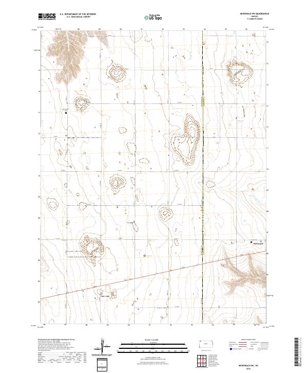 2022 McDonald SW2022 Print · USGSHigh Plains agriculture and the town of McDonald define this 2022 landscape on the Cheyenne and Rawlins county line. Researchers can locate family landmarks such as Evergreen Cem and Grace Cem or trace the path of N Beaver Cr.
 - 2022 Map of Saint Francis SW, 2022 Print
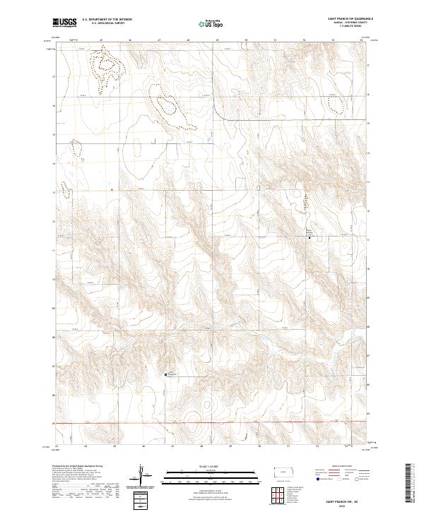 2022 Saint Francis SW2022 Print · USGSThe high plains of Cheyenne County are captured here in the early twenty-first century, showing a landscape defined by agricultural grids and small rural landmarks. Genealogists can locate Salem Evangelical Cem and Salem Lutheran Cem near the headwaters of Cherry Cr.
 - 2022 Map of Saint Francis, 2022 Print
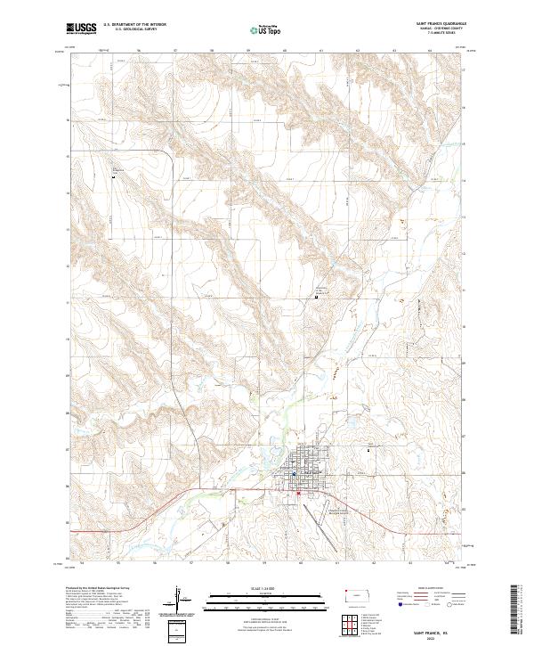 2022 Saint Francis2022 Print · USGSCheyenne County at the turn of the 2020s remains centered on the river-valley community of St. Francis. Researchers can trace local history through the Cheyenne County Courthouse and distinct burial grounds like the Grand Army of the Republic Cem.
Showing maps 1-25 of 30
Top cities of Cheyenne County
Frequently asked questions
- What are the different types of historical maps available for Cheyenne County?
- What is the oldest map of Cheyenne County?
- Where can I purchase historical maps of Cheyenne County for my home or office?
- Where can I download high-res historical maps of Cheyenne County?
- Are there historical topographic maps available for Cheyenne County?
- Is there historical aerial imagery available for Cheyenne County?
- Where are historical maps of Cheyenne County sourced from?