2000s (21st Century) Maps of Cheyenne County, Kansas
Explore 145 historic maps of Cheyenne County from the 2000s (21st Century). These maps offer a rare glimpse into what life looked like during the 2000s — showing old roads, neighborhoods, homes, and landmarks that have changed or disappeared over time.
Whether you're researching your family's past, planning a metal detecting trip, or studying how Cheyenne County's landscape evolved across the 2000s, these high-resolution maps are a powerful tool for exploring the history of this region.
- Focus on a specific era: All maps on this page are from the 2000s, giving you a focused view of this time period.
- See what’s changed: Compare century-old streets, trails, and buildings to today's modern landscape using overlays and satellite layers.
- Research with precision: Use these maps for genealogy, historical research, land use analysis, or educational projects.
- View, download, or print: Maps are fully viewable online in high resolution, and can be downloaded or printed for your own records.
Start exploring Cheyenne County's history through authentic maps from the 2000s. This is your window into the past.
Cheyenne County, KS maps
(145)- 2009 Map of Bird City South NW, 2009 Print
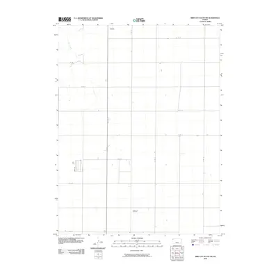 2009 Bird City South NW2009 Print · USGSCheyenne County at the start of the millennium is a landscape of disciplined agricultural grids and quiet rural history. Genealogists can locate legacy sites such as Wheeler Cemetery and Saint Pauls Cemetery along the corridors of Co Rd G.
 - 2009 Map of Drury Creek, 2009 Print
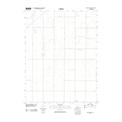 2009 Drury Creek2009 Print · USGSCheyenne County at the start of the twenty-first century reveals a landscape shaped by water and a strict section-line grid. Genealogists and local researchers can locate Lawn Ridge Cemetery or trace the South Fork Republican River as it passes near River Rd.
 - 2009 Map of Bird City North, 2009 Print
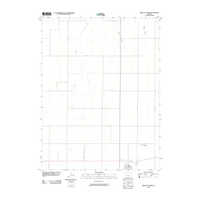 2009 Bird City North2009 Print · USGSBird City and the surrounding Cheyenne County plains are documented here during the early 2000s. Genealogists and local researchers can trace family landmarks like the Bird City Cemetery or follow the natural drainage of Big Timber Creek and Wolfe Canyon.
 - 2009 Map of Dewey Ranch SW, 2009 Print
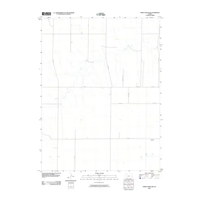 2009 Dewey Ranch SW2009 Print · USGSSherman County in the early twenty-first century remains defined by its agricultural grid and the gentle winding of Beaver Creek. Genealogists and local historians can pinpoint the location of Fairview Cemetery and trace early section roads like Rd A.
 - 2009 Map of Wheeler, 2009 Print
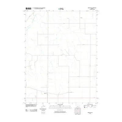 2009 Wheeler2009 Print · USGSWheeler and the surrounding High Plains of Cheyenne County are captured here during the first decade of the millennium. Researchers can trace the agricultural grid along Co Rd 19, locate the Barley Cemetery, and follow the path of the South Fork Republican River.
 - 2009 Map of Saint Francis NW, 2009 Print
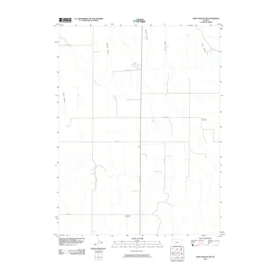 2009 Saint Francis NW2009 Print · USGSCheyenne County at the turn of the millennium remains a quiet agricultural landscape defined by the deep incisions of the High Plains. Genealogists and local historians can locate rural burial sites at Emanuel Cemetery and Hope Valley Cemetery.
 - 2009 Map of White Canyon, 2009 Print
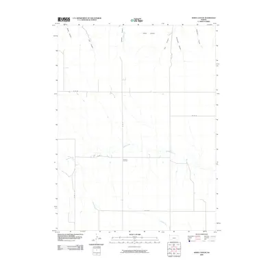 2009 White Canyon2009 Print · USGSCheyenne County at the start of the twenty-first century reveals a remote landscape carved by deep canyons and quiet creek beds. Genealogists and local historians can locate Hackberry Cemetery and trace drainage patterns through White Canyon and Hackberry Creek.
 - 2009 Map of Heinzelman Canyon, 2009 Print
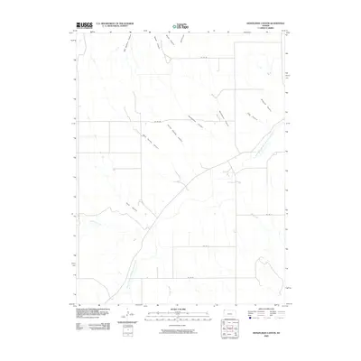 2009 Heinzelman Canyon2009 Print · USGSCheyenne County, Kansas, is documented here in the early 21st century, showing the rugged drainage of the High Plains. Genealogists and local historians can trace family-named landmarks including Heinzelman Canyon, Pigg Canyon, and Magnani Canyon.
 - 2009 Map of Saint Francis SW, 2009 Print
 2009 Saint Francis SW2009 Print · USGSCheyenne County in the early twenty-first century maintains its quiet agricultural character, structured by an extensive grid of section-line roads. Researchers can locate the Salem Evangelical Cemetery and trace the winding course of Cherry Creek as it traverses the plains.
 - 2009 Map of Bird City South, 2009 Print
 2009 Bird City South2009 Print · USGSThe High Plains of Cheyenne County come into focus in the early twenty-first century, centered on the rural hub of Bird City. Genealogists and local historians can trace family plots at the Community Cemetery or locate private aviation sites like Gillilands Farm Airport.
 - 2009 Map of South of Drury Creek, 2009 Print
 2009 South of Drury Creek2009 Print · USGSSherman County, Kansas, in the early twenty-first century is defined by its vast agricultural grid and seasonal waterways. Researchers can trace the path of Little Beaver Creek and the rural network of routes like Co Rd 16 and Co Rd D.
 - 2009 Map of South of Crosby Creek, 2009 Print
 2009 South of Crosby Creek2009 Print · USGSSherman County was characterized by its wide agricultural grids and seasonal watercourses at the turn of the twenty-first century. Genealogists and land researchers can trace property boundaries along Co Rd 7 and the winding path of Little Beaver Creek.
 - 2009 Map of Bird City South SW, 2009 Print
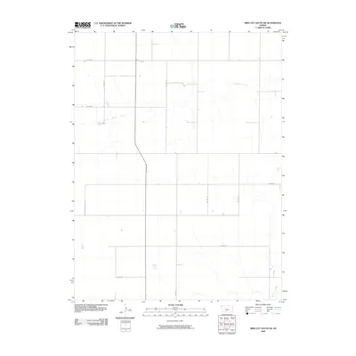 2009 Bird City South SW2009 Print · USGSSherman County at the turn of the millennium is captured here as a landscape of structured agricultural gridwork and prairie waterways. Researchers can trace the path of Little Beaver Creek or follow rural routes like Commerce Rd and Co Rd 77 through the plains.
 - 2009 Map of Bird City South SE, 2009 Print
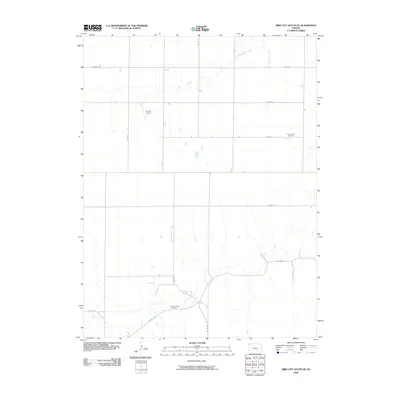 2009 Bird City South SE2009 Print · USGSThe High Plains of Sherman County appear here in the early twenty-first century, showing a landscape defined by cattle ranching and dryland farming. Researchers can locate remote burial sites at Sunnyside Cemetery and trace the paths of Beaver Creek and CO RD 27.
 - 2009 Map of Crosby Creek, 2009 Print
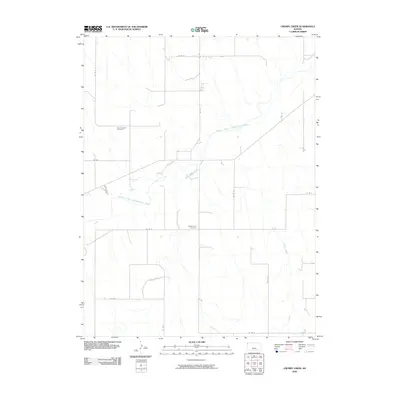 2009 Crosby Creek2009 Print · USGSNorthwest Kansas at the turn of the millennium remains a landscape of wide-open ranching and farming tracts. Researchers can locate remote burial grounds like the Zion Lutheran Cemetery and Battle Creek Cemetery near the banks of the South Fork Republican River.
 - 2009 Map of Henkle Canyon, 2009 Print
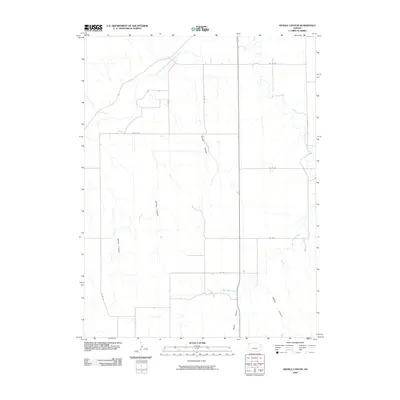 2009 Henkle Canyon2009 Print · USGSCheyenne County, Kansas, at the end of the decade shows a landscape defined by the South Fork Republican River and a rigid grid of rural section roads. Researchers can trace the rugged drainage systems of Henkle Canyon, Big Timber Creek, and Sawyer Canyon.
 - 2009 Map of McDonald SW, 2009 Print
 2009 McDonald SW2009 Print · USGSThe rural expanse of Rawlins County is seen here at the start of the 21st century, showing an established agricultural grid. Genealogists and local historians can locate burial sites at Evergreen Cemetery and Grace Cemetery near the banks of North Beaver Creek.
 - 2009 Map of Dewey Ranch NW, 2009 Print
 2009 Dewey Ranch NW2009 Print · USGSRawlins County ranching country is captured here during the first decade of the new millennium, showing the open Kansas plains and drainage basins. Researchers can trace the path of Little Beaver Creek and the grid of rural routes like Co Rd 32 and Co Rd F.
 - 2009 Map of McDonald NW, 2009 Print
 2009 McDonald NW2009 Print · USGSNorthwest Kansas at the turn of the millennium remains a land of expansive agricultural grids and isolated airfields. Researchers can trace the drainage of Jones Canyon Creek or locate local aviation sites like Stout Landing Strip and Wilkens Airport.
 - 2009 Map of Saint Francis, 2009 Print
 2009 Saint Francis2009 Print · USGSSaint Francis and the surrounding Kansas High Plains are documented here at the end of the first decade of the new millennium. Researchers can trace the family names and locations of Zion Cemetery, GAR Cemetery, and the Cheyenne County Fairgrounds along the South Fork Republican River.
 - 2010 Map of Laird, 2010 Print
 2010 Laird2010 Print · USGSThe tri-state border region near the Nebraska panhandle comes into focus at a time when irrigation and river life defined the local economy. Genealogists and researchers can trace family landmarks like Hanshaw Cemetery or the early footprints of Laird and Sanborn.
 - 2010 Map of Willow Creek Ranch, 2010 Print
 2010 Willow Creek Ranch2010 Print · USGSEastern Colorado ranching country is captured here during the early twenty-first century, showing the remote intersection of the Arikaree River and the Kansas border. Genealogists can locate the Jones Family Cemetery and trace the drainage of Horse Creek through the Willow Creek Ranch lands.
 - 2010 Map of Hale Ponds, 2010 Print
 2010 Hale Ponds2010 Print · USGSThe Colorado-Kansas borderlands appear here in the early 21st century, centered on the riverine landscape of the High Plains. Genealogists and local historians can locate rural burial grounds like Gilstrap Cemetery and Zion Cemetery near the South Fork Republican River.
 - 2010 Map of Armel, 2010 Print
 2010 Armel2010 Print · USGSArmel and its surrounding ranchlands in Yuma County are captured here at the start of the 2010s. Local researchers can locate family sites and rural landmarks like the Hope Valley Cemetery, Lansing Valley Ranch, and the small community center of Armel.
 - 2010 Map of Bonny Reservoir SE, 2010 Print
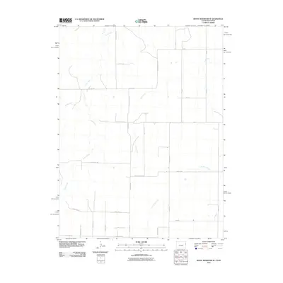 2010 Bonny Reservoir SE2010 Print · USGSThe High Plains of Yuma County are captured here during the first decade of the millennium, showing a landscape defined by industrial agriculture and prairie drainages. Genealogists can trace the rural road grid from County Road QQ to County Road KK where they cross Little Beaver Creek and Beaver Creek.
Showing maps 1-25 of 145
Top cities of Cheyenne County
Frequently asked questions
- What are the different types of historical maps available for Cheyenne County?
- What is the oldest map of Cheyenne County?
- Where can I purchase historical maps of Cheyenne County for my home or office?
- Where can I download high-res historical maps of Cheyenne County?
- Are there historical topographic maps available for Cheyenne County?
- Is there historical aerial imagery available for Cheyenne County?
- Where are historical maps of Cheyenne County sourced from?