2010s Maps of Labette County, Kansas
Explore 94 historic maps of Labette County from the 2010s. These maps offer a rare glimpse into what life looked like during the 2010s — showing old roads, neighborhoods, homes, and landmarks that have changed or disappeared over time.
Whether you're researching your family's past, planning a metal detecting trip, or studying how Labette County's landscape evolved across the 2010s, these high-resolution maps are a powerful tool for exploring the history of this region.
- Focus on a specific era: All maps on this page are from the 2010s, giving you a focused view of this time period.
- See what’s changed: Compare century-old streets, trails, and buildings to today's modern landscape using overlays and satellite layers.
- Research with precision: Use these maps for genealogy, historical research, land use analysis, or educational projects.
- View, download, or print: Maps are fully viewable online in high resolution, and can be downloaded or printed for your own records.
Start exploring Labette County's history through authentic maps from the 2010s. This is your window into the past.
Labette County, KS maps
(94)- 2010 Map of Liberty, 2010 Print
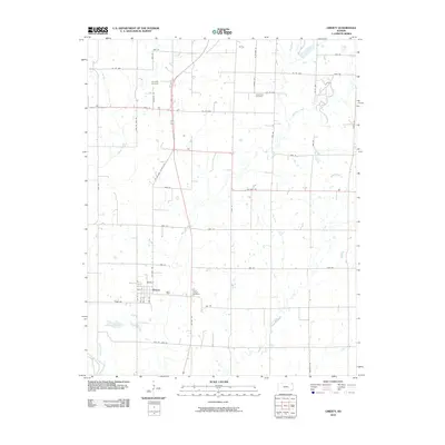 2010 Liberty2010 Print · USGSLiberty and its rural environs are shown here during the first decade of the 21st century, as modern highways intersect old county lanes. Researchers can trace family history at Saint Joseph Cemetery or follow the paths of Big Hill Creek and Potato Creek.
 - 2010 Map of Altamont, 2010 Print
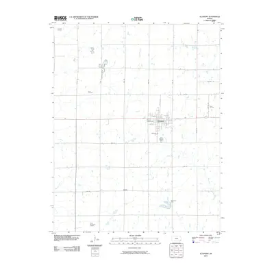 2010 Altamont2010 Print · USGSThe Labette County countryside near Altamont is captured here in the early twenty-first century, showing a landscape of productive farm grid-lines and deep family roots. Genealogists can locate several local burial grounds including Hopewell Cemetery, Vance Cemetery, and Elston Cemetery.
 - 2010 Map of McCune NE, 2010 Print
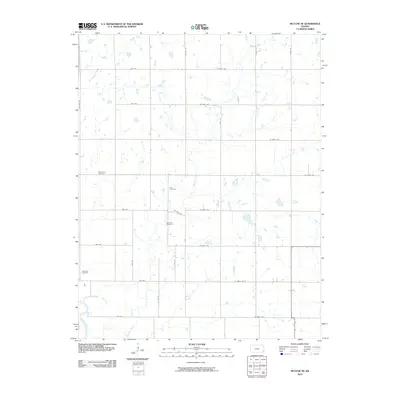 2010 McCune NE2010 Print · USGSCrawford County at the start of the 2010s shows a landscape of expansive farms and well-ordered section roads. Researchers can locate several rural landmarks including Frog Cemetery, Dumbald Cemetery, and the banks of the Neosho River.
 - 2010 Map of Parsons East, 2010 Print
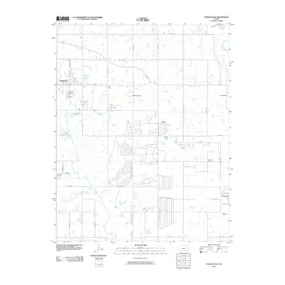 2010 Parsons East2010 Print · USGSLabette County's agricultural heartland is documented here in the early twenty-first century as the city of Parsons meets the rural prairie. Genealogists and local historians can trace burial sites like Franklin Cemetery and Spring Hill Cemetery or locate the small settlements of Montana and Laneville.
 - 2010 Map of Labette, 2010 Print
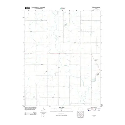 2010 Labette2010 Print · USGSLabette County in the early twenty-first century maintains its deep-rooted agricultural character and rural grid. Genealogists and local historians can trace family land ties through markers like Mason Cemetery, Fairview Cemetery, and the community of Stover.
 - 2010 Map of McCune, 2010 Print
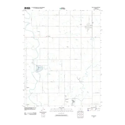 2010 McCune2010 Print · USGSCrawford County's agricultural heartland is documented in the early twenty-first century, showing the established grid of section roads and river bottomlands. Genealogists can locate family burial sites such as Harley Cemetery or Mitchell Cemetery and trace the paths of Lightning Creek and the Neosho River.
 - 2010 Map of Dennis, 2010 Print
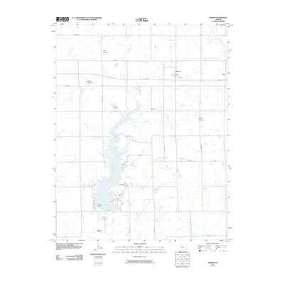 2010 Dennis2010 Print · USGSLabette County's prairie and water resources are on display in this contemporary look at the rural landscape around Dennis. Genealogists and historians can trace family roots at Harmony Cemetery or explore the terrain around Twin Mounds and the Big Hill Lake reservoir.
 - 2010 Map of South Mound, 2010 Print
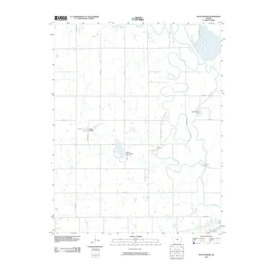 2010 South Mound2010 Print · USGSThe Neosho River valley south of Erie shows its characteristic winding course and hydraulic infrastructure in the late 2000s. Trace the settlement at South Mound, locate family plots at Brown Cemetery, and see the site of the Parsons Dam.
 - 2010 Map of Galesburg, 2010 Print
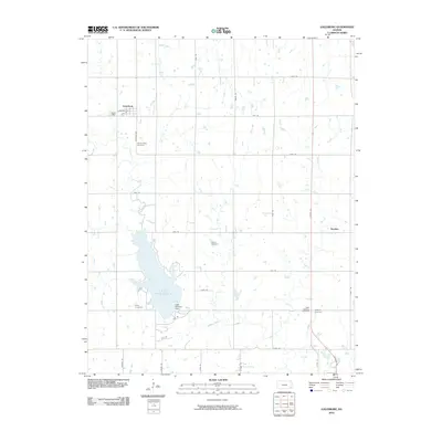 2010 Galesburg2010 Print · USGSThe Labette County countryside and the waters of Lake Parsons are captured here in the early twenty-first century. Genealogists can locate several local burial sites like Ladore Cemetery and Mount Hope Cemetery near the town of Galesburg.
 - 2010 Map of Bartlett, 2010 Print
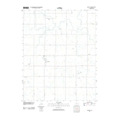 2010 Bartlett2010 Print · USGSBartlett and the surrounding Labette County countryside are captured here in the early twenty-first century, showing a landscape defined by prairie agriculture and small-town roots. Genealogists can locate several historic burial sites, including Phillips Cemetery and Lake Creek Cemetery, while surveyors can trace the course of Hackberry Creek.
 - 2010 Map of Oswego, 2010 Print
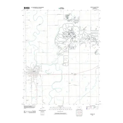 2010 Oswego2010 Print · USGSOswego and the winding Neosho River valley are captured here in the early twenty-first century as the landscape transitioned between historic town centers and modern aviation. Trace local genealogy and land use through numerous sites like Cherokee Cemetery, Timber Hill, and the Oswego Municipal Airport.
 - 2010 Map of Mound Valley, 2010 Print
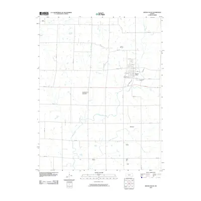 2010 Mound Valley2010 Print · USGSMound Valley and its surrounding Labette County farmsteads are captured in the early twenty-first century, showing a landscape defined by creeks and sections. Researchers can locate local burial sites like Penfield Cemetery and Richland Cemetery or trace the Pumpkin Creek watershed.
 - 2010 Map of Morehead, 2010 Print
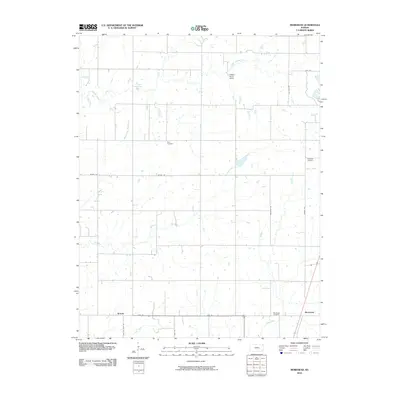 2010 Morehead2010 Print · USGSSoutheast Kansas in the early 2000s remains a landscape of quiet crossroads and winding creeks. Genealogists can trace family roots through Star Cemetery or Morehead Cemetery, while exploring the rural reaches of Brooks and Dry Creek.
 - 2010 Map of Thayer, 2010 Print
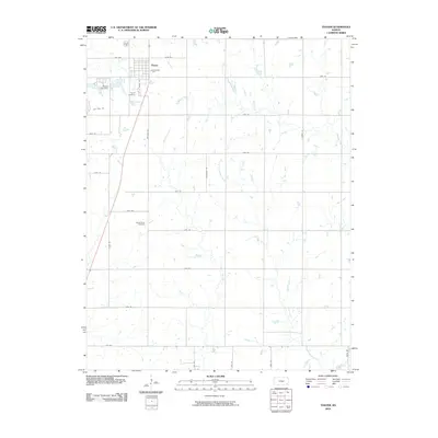 2010 Thayer2010 Print · USGSSoutheast Kansas at the start of the decade reveals a landscape where organized grid roads meet winding prairie waterways. Genealogists and local researchers can pinpoint Thayer Cemetery, trace the course of Big Hill Creek, or locate landmarks like the Thayer City Dam.
 - 2010 Map of Welch North, 2010 Print
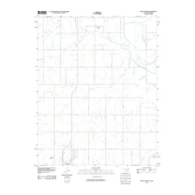 2010 Welch North2010 Print · USGSWelch and the surrounding Oklahoma prairie appear at the dawn of the 21st century as a landscape of structured farm roads and winding creeks. Genealogists and local researchers can locate Welch Cemetery, Russell Creek Cemetery, and the banks of the Neosho River.
 - 2010 Map of Hayrick Mound, 2010 Print
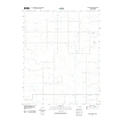 2010 Hayrick Mound2010 Print · USGSLabette County, Kansas, is captured at the turn of the 21st century as a quiet landscape of agricultural section lines and prairie creeks. Genealogists and local historians can trace the rural layout around Lain Cemetery, Plainview Cemetery, and the prominent Hayrick Mound.
 - 2010 Map of South Coffeyville, 2010 Print
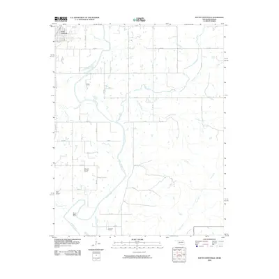 2010 South Coffeyville2010 Print · USGSThe Oklahoma-Kansas border country comes into focus in this late-era survey of the Verdigris River valley. Genealogists and local researchers can trace family-named sites like Melton Cemetery and explore the river's winding path at Goose Neck Bend.
 - 2010 Map of Welch NW, 2010 Print
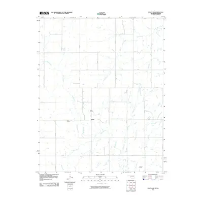 2010 Welch NW2010 Print · USGSNorthern Oklahoma's rural landscape at the turn of the decade is defined by its deep creek valleys and a rigid section-line road grid. Researchers can locate family landmarks like Rogers Cemetery and Walker Cemetery or trace the winding course of Big Cabin Creek.
 - 2010 Map of Hollow, 2010 Print
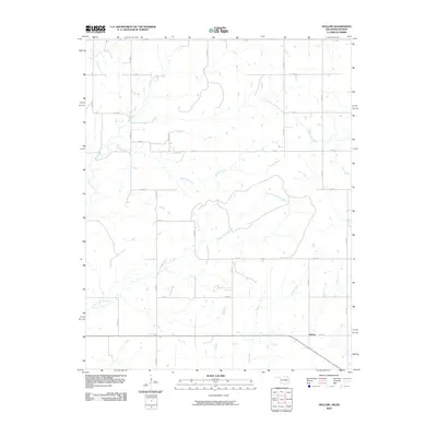 2010 Hollow2010 Print · USGSHollow and the surrounding rural landscape of northeast Oklahoma are captured here in the early twenty-first century. Researchers can trace the intersections of the regional road grid with long-standing watercourses like Big Cabin Creek, Clear Creek, and Boggs Branch.
 - 2012 Map of Cherryvale, 2012 Print
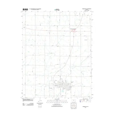 2012 Cherryvale2012 Print · USGSCherryvale and its rural surroundings in Montgomery County are captured here during the early twenty-first century. Genealogists and local historians can locate Saint Francis Xavier Cem and Fairview Cem, or trace the winding paths of Drum Cr and Rock Cr.
 - 2012 Map of McCune NE, 2012 Print
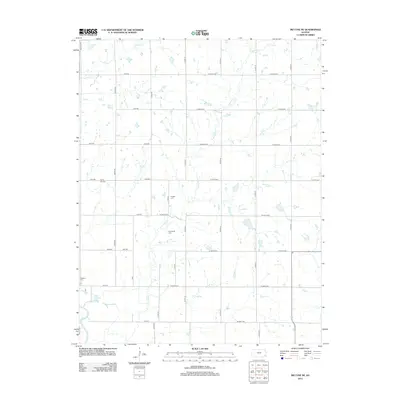 2012 McCune NE2012 Print · USGSCrawford County's rural townships are documented in the early twenty-first century, showing the enduring grid of prairie section roads. Genealogists can locate several family burial sites including Frogge Cem and Dumbauld Cem near the banks of Hickory Cr.
 - 2012 Map of Labette, 2012 Print
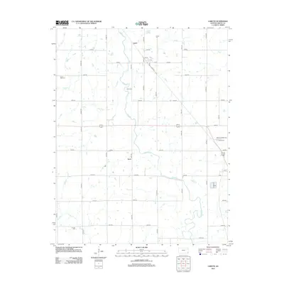 2012 Labette2012 Print · USGSLabette County, Kansas, is documented in the early twenty-first century as a landscape of rural crossroads and historic burial grounds. Researchers can locate small communities like Garvin and Stover or trace family roots at Mason Cem and Oswego Cem.
 - 2012 Map of Thayer, 2012 Print
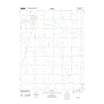 2012 Thayer2012 Print · USGSSoutheast Kansas farming communities are mapped in detail here during the early 2010s. Researchers can locate family sites near Thayer Cem and S Center Cem or trace the waterways of Big Hill Cr and Little Labette Cr.
 - 2012 Map of Galesburg, 2012 Print
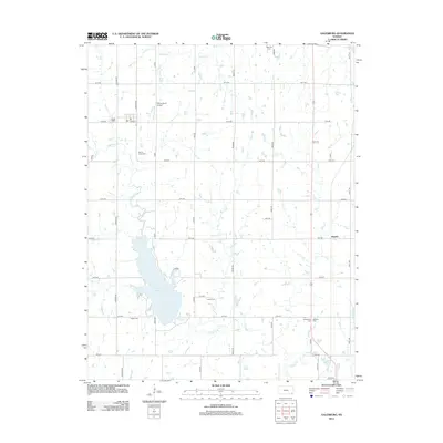 2012 Galesburg2012 Print · USGSSoutheastern Kansas in the early twenty-first century reveals a landscape defined by water and legacy. Genealogists can locate several rural burial grounds including Ladore Cem and Mount Hope Cem situated near the banks of Lake Parsons.
 - 2012 Map of Edna, 2012 Print
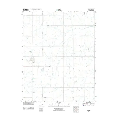 2012 Edna2012 Print · USGSThe rural prairie landscape surrounding Edna is captured here during the early twenty-first century, showing a community built on agriculture and resource extraction. Researchers can locate family sites near Edna Cem or McClintock Kingston Cem and trace the Lake Creek Oil Field.
Showing maps 1-25 of 94
Top cities of Labette County
- Parsons historical maps
- Oswego historical maps
- Chetopa historical maps
- Altamont historical maps
- Edna historical maps
- Mound Valley historical maps
See more
Frequently asked questions
- What are the different types of historical maps available for Labette County?
- What is the oldest map of Labette County?
- Where can I purchase historical maps of Labette County for my home or office?
- Where can I download high-res historical maps of Labette County?
- Are there historical topographic maps available for Labette County?
- Is there historical aerial imagery available for Labette County?
- Where are historical maps of Labette County sourced from?