2010s Maps of Ness County, Kansas
Explore 72 historic maps of Ness County from the 2010s. These maps offer a rare glimpse into what life looked like during the 2010s — showing old roads, neighborhoods, homes, and landmarks that have changed or disappeared over time.
Whether you're researching your family's past, planning a metal detecting trip, or studying how Ness County's landscape evolved across the 2010s, these high-resolution maps are a powerful tool for exploring the history of this region.
- Focus on a specific era: All maps on this page are from the 2010s, giving you a focused view of this time period.
- See what’s changed: Compare century-old streets, trails, and buildings to today's modern landscape using overlays and satellite layers.
- Research with precision: Use these maps for genealogy, historical research, land use analysis, or educational projects.
- View, download, or print: Maps are fully viewable online in high resolution, and can be downloaded or printed for your own records.
Start exploring Ness County's history through authentic maps from the 2010s. This is your window into the past.
Ness County, KS maps
(72)- 2012 Map of Utica SE, 2012 Print
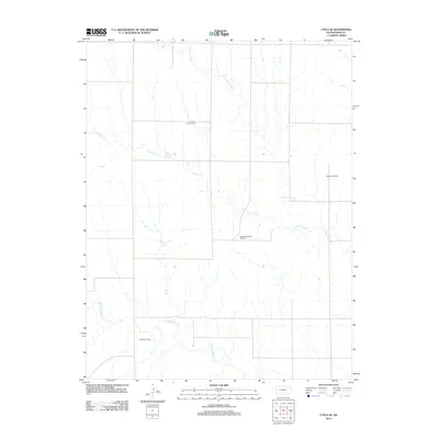 2012 Utica SE2012 Print · USGSNess County was defined by its oil production and quiet rural landscape in the early twenty-first century. Genealogists and local historians can locate the Prairie Chapel Cem or trace the boundaries of the Aldrich Oil Field and Dickman Oil Field.
 - 2012 Map of Beeler SW, 2012 Print
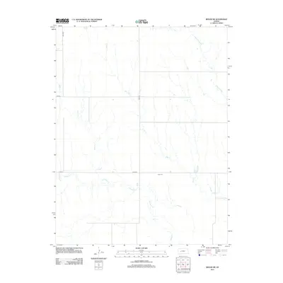 2012 Beeler SW2012 Print · USGSFinney County’s high plains terrain is mapped here in the early 2000s, showing the intersection of rural section roads and seasonal watercourses. Genealogists and local historians can trace family roots near Buda Cem and the banks of Hackberry Cr.
 - 2012 Map of Beeler SE, 2012 Print
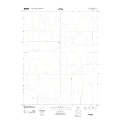 2012 Beeler SE2012 Print · USGSNess County in the early 2010s remains a landscape of vast open sections and quiet prairie drainages. Researchers can locate the Manteno Community Hall and trace the paths of Guzzlers Gulch and Plum Cr across the rural grid.
 - 2012 Map of Beeler, 2012 Print
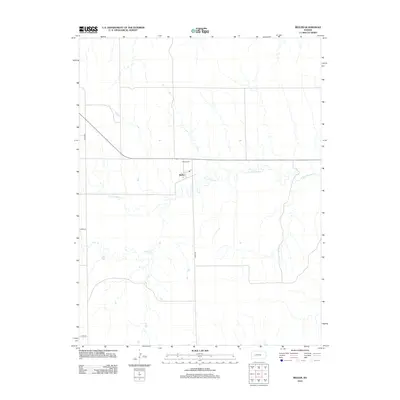 2012 Beeler2012 Print · USGSBeeler and the surrounding Ness County plains are captured here in the early twenty-first century as the landscape remains defined by its original survey lines. Genealogists can locate the Beeler Cem and trace the paths of S Fork Walnut Cr and Darr Cr.
 - 2012 Map of Laird, 2012 Print
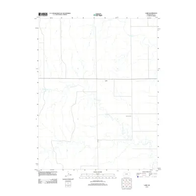 2012 Laird2012 Print · USGSNess County is captured in the early twenty-first century, showing a landscape defined by prairie drainage and energy production. Researchers can trace the winding S Fork Walnut Cr, the small community of Laird, and the nearby Sunshine Oil Field.
 - 2012 Map of Arnold, 2012 Print
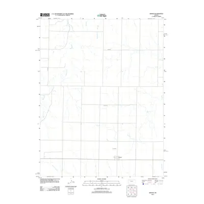 2012 Arnold2012 Print · USGSArnold and the surrounding Ness County plains are captured here in the early twenty-first century, showing a landscape defined by cattle country and quiet townships. Researchers can locate family sites near the Amish Cem or trace the winding paths of Wild Horse Cr and Sand Cr.
 - 2012 Map of Utica, 2012 Print
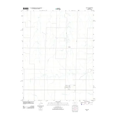 2012 Utica2012 Print · USGSNess County life in the early 21st century centers on the small settlement of Utica and the surrounding plains. Genealogists and local researchers can locate the Utica Cem, the rural outpost of Alanthus, and seasonal waterways like Big Windy Cr.
 - 2012 Map of Utica SW, 2012 Print
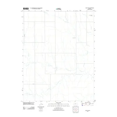 2012 Utica SW2012 Print · USGSWestern Kansas petroleum and ranching lands come into focus in this recent survey of the Ness County plains. Researchers can map the footprint of the Arnold Southwest Oil Field and follow the riparian corridors of Middle Fork Walnut Cr and Cold Springs Br.
 - 2012 Map of Bazine, 2012 Print
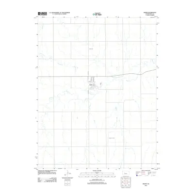 2012 Bazine2012 Print · USGSBazine and its surrounding Ness County landscape are shown here in the early twenty-first century as a mix of traditional township grids and energy production. Genealogists and local historians can locate the Bazine Cem and trace the paths of Walnut Cr or the Margheim Oil Field.
 - 2012 Map of Brownell, 2012 Print
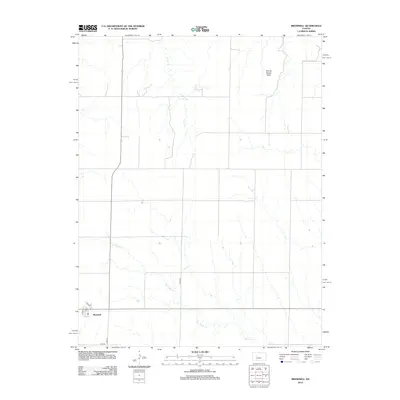 2012 Brownell2012 Print · USGSThe small plains community of Brownell is captured here in the early twenty-first century, showing the enduring grid of a rural Kansas township. Local historians can trace the town layout around the PO and find landmarks like Round House Rock.
 - 2012 Map of Alexander, 2012 Print
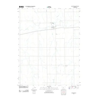 2012 Alexander2012 Print · USGSRush County's agricultural heartland is documented here in the early twenty-first century, centered on the village of Alexander. Local historians and genealogists can trace the layout of the town's streets and locate the Belle Prairie Cemetery or the Webs Oil Field.
 - 2012 Map of Bazine SW, 2012 Print
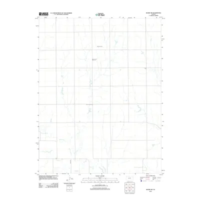 2012 Bazine SW2012 Print · USGSNess County in the early twenty-first century is captured here as a landscape of energy production and rural solitude. Genealogists and local historians can locate Saint John the Baptist Cem and Crandall Cem near the Schaben Oil Field.
 - 2012 Map of Bazine SE, 2012 Print
 2012 Bazine SE2012 Print · USGSPawnee County oil production and rural section lines define this western Kansas landscape in the early twenty-first century. Researchers can trace land divisions and petroleum leases through named sites like Schadel Oil Field and Steffen Oil Field.
 - 2012 Map of Ness City SW, 2012 Print
 2012 Ness City SW2012 Print · USGSThe Pawnee River valley in western Kansas is captured here just over a decade ago. Genealogists and researchers can trace local family landmarks and rural industry, from the Kunze Cem to the Petersilie Oil Field and the settlement at Harold.
 - 2012 Map of Ness City, 2012 Print
 2012 Ness City2012 Print · USGSNess City and the surrounding Kansas prairie are documented here during the early twenty-first century. Researchers can trace the local landscape through the Sacred Heart Cemetery, the Ness County Fairgrounds, and the banks of N Fork Walnut Creek.
 - 2012 Map of McCracken NE, 2012 Print
 2012 McCracken NE2012 Print · USGSEllis County and the northern boundary of the McCracken area are defined here in the early 2010s by a vast network of section roads. Researchers can trace rural property access and waterways like Snake Cr or the namesake Chetolah Gold Rd.
 - 2012 Map of Ransom SE, 2012 Print
 2012 Ransom SE2012 Print · USGSNess County, Kansas, is captured in this 2012 survey during a period of modern agricultural continuity. Researchers and genealogists can pinpoint the exact location of the Brownwell Cem or trace the winding paths of Bazine Dry Cr and Long Br.
 - 2012 Map of Osgood, 2012 Print
 2012 Osgood2012 Print · USGSWestern Kansas prairie lands are captured here just over a decade ago, showcasing the rural settlement of Osgood. Researchers can locate important family sites such as Cyrus Cem and Vansburgh Cem or trace the winding course of Page Cr.
 - 2012 Map of McCracken SW, 2012 Print
 2012 McCracken SW2012 Print · USGSNess County is captured here in the early twenty-first century, showing a remote agricultural landscape dominated by intermittent prairie streams. Genealogists and local historians can trace the locations of Saint Mary's Cem and Ramsey Cem near the banks of Alexander Dry Cr.
 - 2012 Map of Ness City SE, 2012 Print
 2012 Ness City SE2012 Print · USGSRiverside and the surrounding Kansas plains appear here as they were in 2012, shaped by the winding course of the Pawnee River. Genealogists and local historians can locate the Riverside Cem and trace the extent of the Riverside Oil Field.
 - 2012 Map of McCracken, 2012 Print
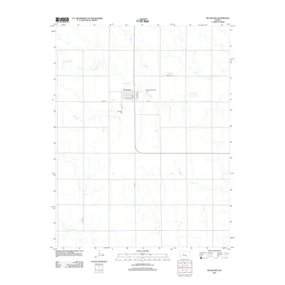 2012 McCracken2012 Print · USGSRush County agriculture and the central town of McCracken are showcased here in the early twenty-first century. Researchers can trace the layout of the town grid near Railroad Ave or locate family sites at the McCracken Cem and along Big Timber Creek.
 - 2012 Map of Ness City NE, 2012 Print
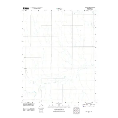 2012 Ness City NE2012 Print · USGSNess County in the early 2010s reveals a quiet landscape of agricultural sections and meandering prairie streams. Researchers can locate family landmarks such as Fairview Cemetery and Chenoworth Cemetery along the banks of Walnut Creek.
 - 2012 Map of Ransom, 2012 Print
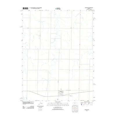 2012 Ransom2012 Print · USGSThe community of Ransom is shown in detail during the early twenty-first century, centered on its local street grid and historical highway. Genealogists and local historians can locate the Ransom Cem and trace the paths of Sand Cr and Wild Horse Cr.
 - 2012 Map of Ransom SW, 2012 Print
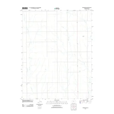 2012 Ransom SW2012 Print · USGSNess County is captured here in the early twenty-first century, showing a landscape defined by traditional section lines and prairie drainage. Genealogists can locate family landmarks such as Dagenett Cem and N Star Cem tucked among the reaches of Wild Horse Cr.
 - 2015 Map of Utica SW, 2015 Print
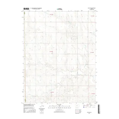 2015 Utica SW2015 Print · USGSThe western Kansas plains of Ness and Lane counties are shown here in the mid-2010s, defined by the rural road grid and natural drainage. Researchers can trace the winding paths of N Fork Walnut Cr and Middle Fork Walnut Cr or locate family land near CO RD 523.
Showing maps 1-25 of 72
Top cities of Ness County
- Ness City historical maps
- Ransom historical maps
- Bazine historical maps
- Utica historical maps
- Brownell historical maps
Frequently asked questions
- What are the different types of historical maps available for Ness County?
- What is the oldest map of Ness County?
- Where can I purchase historical maps of Ness County for my home or office?
- Where can I download high-res historical maps of Ness County?
- Are there historical topographic maps available for Ness County?
- Is there historical aerial imagery available for Ness County?
- Where are historical maps of Ness County sourced from?