2000s (21st Century) Maps of Ness County, Kansas
Explore 120 historic maps of Ness County from the 2000s (21st Century). These maps offer a rare glimpse into what life looked like during the 2000s — showing old roads, neighborhoods, homes, and landmarks that have changed or disappeared over time.
Whether you're researching your family's past, planning a metal detecting trip, or studying how Ness County's landscape evolved across the 2000s, these high-resolution maps are a powerful tool for exploring the history of this region.
- Focus on a specific era: All maps on this page are from the 2000s, giving you a focused view of this time period.
- See what’s changed: Compare century-old streets, trails, and buildings to today's modern landscape using overlays and satellite layers.
- Research with precision: Use these maps for genealogy, historical research, land use analysis, or educational projects.
- View, download, or print: Maps are fully viewable online in high resolution, and can be downloaded or printed for your own records.
Start exploring Ness County's history through authentic maps from the 2000s. This is your window into the past.
Ness County, KS maps
(120)- 2009 Map of Beeler SE, 2009 Print
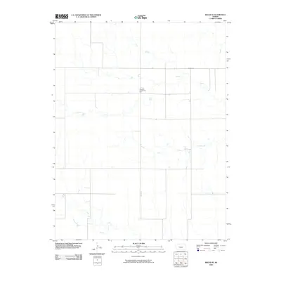 2009 Beeler SE2009 Print · USGSWestern Kansas at the start of the millennium remains a landscape of quiet agricultural endurance and wide drainage basins. Researchers can locate the Manteno Community Hall and trace the paths of Plum Creek and Guzzlers Gulch.
 - 2009 Map of Utica SW, 2009 Print
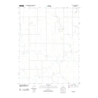 2009 Utica SW2009 Print · USGSNess County was a center for both energy and agriculture during the late 2000s. Genealogists and researchers can trace the geography of the local oil industry through the Dumler Oil Field and follow the intricate paths of Middle Fork Walnut Creek and Wild Horse Creek.
 - 2009 Map of Utica, 2009 Print
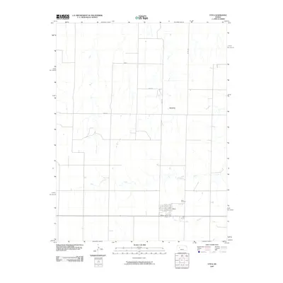 2009 Utica2009 Print · USGSThe town of Utica and the high plains of Western Kansas are captured here during the first decade of the 21st century. Researchers can trace local history through the streets of Utica, the Utica Cemetery, and small landmarks like Alanthus and Sand Creek.
 - 2009 Map of Beeler SW, 2009 Print
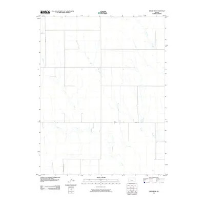 2009 Beeler SW2009 Print · USGSFinney County’s high plains and seasonal creek beds are documented here in the early 2000s. Genealogists and local researchers can pinpoint Buda Cemetery and trace the paths of Plum Creek and Hackberry Creek across the section-line road grid.
 - 2009 Map of Utica SE, 2009 Print
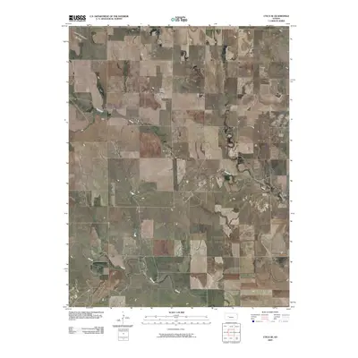 2009 Utica SE2009 Print · USGSNess County at the turn of the century reveals a landscape defined by watercourses and energy production. Genealogists and historians can locate the Prairie Chapel Cemetery or trace the drainage of the North Fork Walnut Creek through the Aldrich Oil Field.
 - 2009 Map of Laird, 2009 Print
 2009 Laird2009 Print · USGSNess County agricultural and oil lands are recorded here during the early twenty-first century. Researchers can trace the rural infrastructure around the settlement of Laird and the energy operations at the Sunshine Oil Field along the South Fork Walnut Creek.
 - 2009 Map of Arnold, 2009 Print
 2009 Arnold2009 Print · USGSThe rural settlement of Arnold is captured in this early twenty-first-century survey of the Ness County prairie. Researchers can trace the local road grid and find significant landmarks like the Amish Cemetery, Arnold Cemetery, and the banks of Wild Horse Creek.
 - 2009 Map of Beeler, 2009 Print
 2009 Beeler2009 Print · USGSWestern Kansas at the turn of the 21st century reveals a landscape defined by its rural grid and quiet waterways. Genealogists and local historians can trace the foundations of Beeler and find family roots at the Beeler Cemetery near South Fork Walnut Creek.
 - 2009 Map of Osgood, 2009 Print
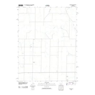 2009 Osgood2009 Print · USGSNess County at the turn of the millennium remains a landscape of high plains agriculture and quiet rural crossroads. Researchers can locate family landmarks such as Cyrus Cemetery and Brownwell Cemetery, or trace the winding course of Goat Canyon and Page Creek.
 - 2009 Map of Ransom SE, 2009 Print
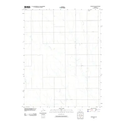 2009 Ransom SE2009 Print · USGSNess County at the end of the first decade of the 2000s shows a classic High Plains agricultural grid shaped by intermittent waterways. Researchers can locate the Brownwell Cemetery or trace the paths of Bazine Dry Creek and Long Branch.
 - 2009 Map of Brownell, 2009 Print
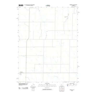 2009 Brownell2009 Print · USGSNess County settlement patterns and High Plains drainage are captured here during the first decade of the millennium. Genealogists and historians can locate properties near Brownell or trace landmarks like Round House Rock and the winding Big Timber Creek.
 - 2009 Map of Ness City, 2009 Print
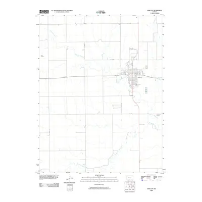 2009 Ness City2009 Print · USGSNess City and the surrounding Kansas prairie are documented here at the end of the first decade of the new millennium. Researchers can locate family plots at Sacred Heart Cemetery or Chenoworth Cemetery and trace the paths of North Fork Walnut Creek.
 - 2009 Map of Bazine SW, 2009 Print
 2009 Bazine SW2009 Print · USGSNess County in the late 2000s reveals a quiet landscape of agricultural sections and energy production. Genealogists and local historians can locate remote burial sites like Saint John the Baptist Cemetery and trace the paths of the Pawnee River and Sand Creek.
 - 2009 Map of Ransom, 2009 Print
 2009 Ransom2009 Print · USGSRansom and the surrounding Ness County plains are shown here in the late 2000s, reflecting a traditional Kansas agricultural layout. Researchers can trace local lineage at Ransom Cemetery and follow the paths of Sand Creek and Old State Hwy 4.
 - 2009 Map of McCracken NE, 2009 Print
 2009 McCracken NE2009 Print · USGSThe rural expanses of Ellis County are captured here in the late 2000s, showing a landscape defined by traditional section lines and prairie drainage. Researchers can trace the path of Snake Creek and locate property boundaries along S County Line Rd and Ellis Ave.
 - 2009 Map of Ransom SW, 2009 Print
 2009 Ransom SW2009 Print · USGSNess County agricultural lands are captured here in the early twenty-first century, showing a landscape defined by its prairie hydrology and section-line roads. Researchers can locate the North Star Cemetery and trace the winding paths of Wild Horse Creek and Bazine Dry Creek.
 - 2009 Map of Bazine, 2009 Print
 2009 Bazine2009 Print · USGSThe Ness County prairie near Bazine is documented here at the end of the first decade of the 2000s, showing a landscape defined by water and oil. Researchers can locate the Bazine Cemetery and trace the paths of Walnut Creek and the Margheim Oil Field.
 - 2009 Map of Ness City SW, 2009 Print
 2009 Ness City SW2009 Print · USGSThe Ness County high plains are captured here in the early twenty-first century, showing a landscape of section-line roads and prairie drainages. Genealogists and local historians can locate Harold, trace the Petersilie Oil Field, and find Kunze Cemetery or Dundee Valley Cemetery.
 - 2009 Map of Alexander, 2009 Print
 2009 Alexander2009 Print · USGSRush County settlement and the surrounding plains are captured in this study from the early 2000s. Genealogists and local historians can locate Belle Prairie Cemetery or trace landmarks like the Rush County Dam and Webs Oil Field.
 - 2009 Map of McCracken SW, 2009 Print
 2009 McCracken SW2009 Print · USGSNess County agricultural lands are captured here in the early 21st century, revealing a landscape of prairie creeks and section roads. Genealogists can locate family burial sites at Ramsey Cemetery and Saint Marys Cemetery near the banks of Big Timber Creek.
 - 2009 Map of Bazine SE, 2009 Print
 2009 Bazine SE2009 Print · USGSPawnee County at the end of the first decade of the 2000s shows a landscape deeply integrated with the energy industry. Researchers can trace the layout of local infrastructure and mineral extraction sites like Schadel Oil Field and Steffen Oil Field.
 - 2009 Map of Ness City SE, 2009 Print
 2009 Ness City SE2009 Print · USGSNess County's open prairies are captured here in the early twenty-first century, showing the rural landscape around the Riverside community. Genealogists and local historians can trace family locations near Riverside Cemetery and identify early energy infrastructure at the Riverside Oil Field along the Pawnee River.
 - 2009 Map of Ness City NE, 2009 Print
 2009 Ness City NE2009 Print · USGSNess County at the turn of the twenty-first century maintains its grid-bound agricultural character east of Ness City. Researchers can locate family landmarks like Fairview Cemetery and trace the paths of Walnut Creek and Long Branch.
 - 2009 Map of McCracken, 2009 Print
 2009 McCracken2009 Print · USGSThe High Plains settlement of McCracken is captured at the close of the decade, situated where Big Timber Creek and Snake Creek meet. Researchers can trace local lineage at the McCracken Cemetery or follow the section lines along Ave K and Co Rd 524.
 - 2012 Map of Utica SE, 2012 Print
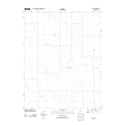 2012 Utica SE2012 Print · USGSNess County was defined by its oil production and quiet rural landscape in the early twenty-first century. Genealogists and local historians can locate the Prairie Chapel Cem or trace the boundaries of the Aldrich Oil Field and Dickman Oil Field.
Showing maps 1-25 of 120
Top cities of Ness County
- Ness City historical maps
- Ransom historical maps
- Bazine historical maps
- Utica historical maps
- Brownell historical maps
Frequently asked questions
- What are the different types of historical maps available for Ness County?
- What is the oldest map of Ness County?
- Where can I purchase historical maps of Ness County for my home or office?
- Where can I download high-res historical maps of Ness County?
- Are there historical topographic maps available for Ness County?
- Is there historical aerial imagery available for Ness County?
- Where are historical maps of Ness County sourced from?