2020s Maps of Dawson County, Montana
Explore 132 historic maps of Dawson County from the 2020s. These maps offer a rare glimpse into what life looked like during the 2020s — showing old roads, neighborhoods, homes, and landmarks that have changed or disappeared over time.
Whether you're researching your family's past, planning a metal detecting trip, or studying how Dawson County's landscape evolved across the 2020s, these high-resolution maps are a powerful tool for exploring the history of this region.
- Focus on a specific era: All maps on this page are from the 2020s, giving you a focused view of this time period.
- See what’s changed: Compare century-old streets, trails, and buildings to today's modern landscape using overlays and satellite layers.
- Research with precision: Use these maps for genealogy, historical research, land use analysis, or educational projects.
- View, download, or print: Maps are fully viewable online in high resolution, and can be downloaded or printed for your own records.
Start exploring Dawson County's history through authentic maps from the 2020s. This is your window into the past.
Dawson County, MT maps
(132)- 2020 Map of Lisk Creek, 2020 Print
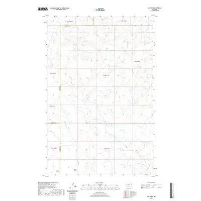 2020 Lisk Creek2020 Print · USGSMcCone County ranching country is documented here in the early twenty-first century as the prairie meets the Missouri River watershed. Genealogists and researchers can trace the drainage of Redwater River and local landmarks like Bickett Coulee and Lisk Cr.
 - 2020 Map of Buffalo Creek, 2020 Print
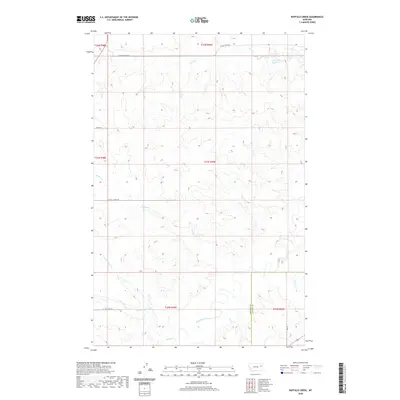 2020 Buffalo Creek2020 Print · USGSMcCone County ranchlands are captured here in the early twenty-first century, showing a landscape defined by its vital watercourses. Genealogists and researchers can trace the drainages of the Redwater River and follow rural routes like Buffalo Creek Rd and Spring Rd.
 - 2020 Map of Lindsay, 2020 Print
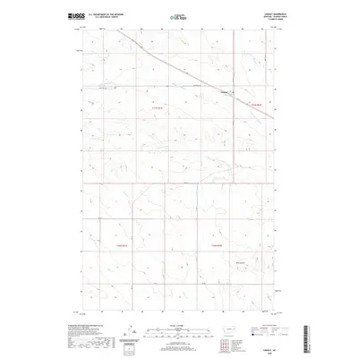 2020 Lindsay2020 Print · USGSLindsay and the surrounding Dawson County plains are captured in this recent survey, showcasing the rural road network and drainage basins of the area. Researchers can trace land holdings along Upper Sevenmile Cr or follow the terrain into Wolf Coulee and Timber Fork.
 - 2020 Map of Richey NW, 2020 Print
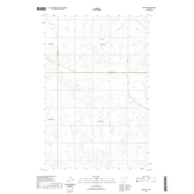 2020 Richey NW2020 Print · USGSRichland and Dawson counties in the contemporary West remain defined by the winding waters of the Redwater River. Genealogists and researchers can trace the rural landscape across FAS 254 and follow drainage patterns along Pasture Cr and H S Coulee.
 - 2020 Map of Buffalo Creek NE, 2020 Print
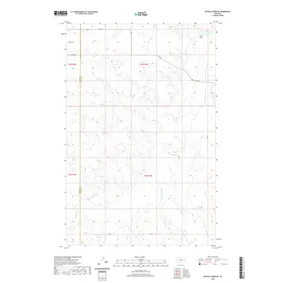 2020 Buffalo Creek NE2020 Print · USGSEastern Montana ranching country is documented here in the early twenty-first century along the McCone and Dawson county line. Genealogists and researchers can trace local landmarks like Beery Rd and the drainages of the Redwater River and Gold Gulch.
 - 2020 Map of Johnson Reservoir NW, 2020 Print
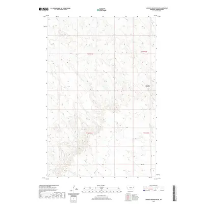 2020 Johnson Reservoir NW2020 Print · USGSDawson County, Montana, is captured in this modern survey of its high-plains terrain and drainage networks. Researchers can trace the winding paths of Bluff Cr and Middle Fork Deer Cr or navigate the rural routes like Fas 470 and Rd 427 that serve the Big Sheep Mountains area.
 - 2020 Map of Woodworth Hill, 2020 Print
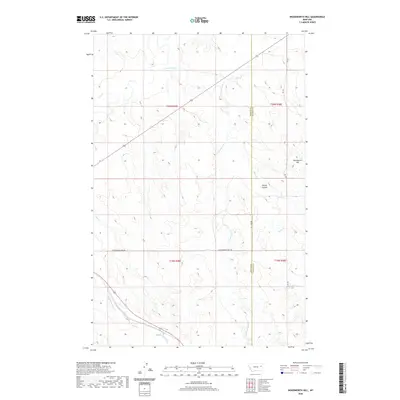 2020 Woodworth Hill2020 Print · USGSMcCone and Dawson counties meet here in eastern Montana’s high prairie, where the modern landscape remains defined by ranching and rugged watercourses. Genealogists and land researchers can trace property boundaries and elevation near Woodworth Hill, Stilson Coulee, and Cottonwood Creek.
 - 2020 Map of Richey SE, 2020 Print
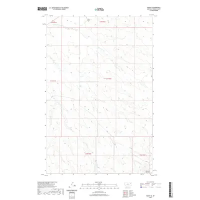 2020 Richey SE2020 Print · USGSDawson County pastures and uplands are captured in this recent survey of eastern Montana. Historians and researchers can trace the course of E Fork Pasture Cr through the rangeland or locate the prominent Big Sheep Mountains near the intersection of RD 431.
 - 2020 Map of Buffalo Creek SE, 2020 Print
 2020 Buffalo Creek SE2020 Print · USGSThe eastern Montana high plains are documented here in the early twenty-first century, specifically along the border of two counties. Researchers can trace the winding path of the Redwater River and the rural road network including Duck Creek Rd and Rd 621.
 - 2020 Map of Fallon NE, 2020 Print
 2020 Fallon NE2020 Print · USGSThe Montana high plains on the Dawson and Prairie County line are captured here in the early twenty-first century. Genealogists and local historians can trace rural travel routes like Whoopup Rd and Bad Route Rd near the landmark of Denbys Peak.
 - 2020 Map of Johnson Reservoir NE, 2020 Print
 2020 Johnson Reservoir NE2020 Print · USGSDawson County's high plains and drainage basins are captured here in the contemporary era. Trace the path of Thirteenmile Cr through the Big Sheep Mountains or follow the routes of Hwy 470 and RD 431 across the township lines.
 - 2020 Map of Olson Coulee North, 2020 Print
 2020 Olson Coulee North2020 Print · USGSDawson County's northern plains are captured here in the early twenty-first century, showcasing a landscape of sprawling ranchland and deep coulees. Genealogists and local historians can locate the Arnett Cem and trace the drainage networks of Olson Coulee and Corral Cr.
 - 2020 Map of Olson Coulee South, 2020 Print
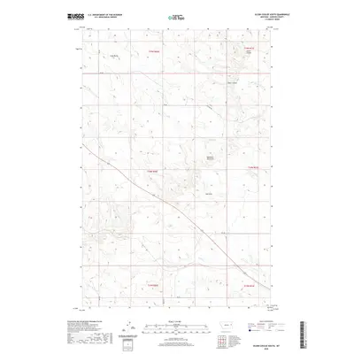 2020 Olson Coulee South2020 Print · USGSDawson County's high plains and deep coulees are captured in this recent survey of the Big Sheep Mountains region. Local historians can trace the drainage networks of Sioux Cr and Olson Coulee alongside landmarks like Crazy Butte.
 - 2020 Map of Deer Creek Church, 2020 Print
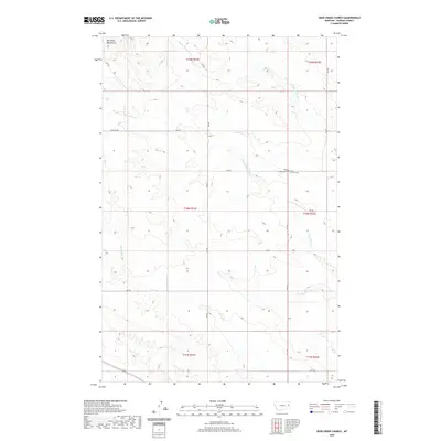 2020 Deer Creek Church2020 Print · USGSDawson County ranching country is captured here in the contemporary era, centered on the historic Deer Creek Church. Genealogists and local historians can locate the West Church Cem and trace the paths of Pasture Trl beneath Big Sheep Mountain.
 - 2020 Map of Circle Reservoir, 2020 Print
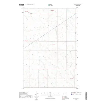 2020 Circle Reservoir2020 Print · USGSDawson County land and water patterns are captured here as they appeared in the early twenty-first century. Researchers can trace the rural infrastructure of the High Plains through local routes like Rd 621 and the waterway of Circle Reservoir.
 - 2020 Map of Kraut Coulee, 2020 Print
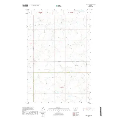 2020 Kraut Coulee2020 Print · USGSMcCone and Dawson counties are captured in this recent survey of the Big Sky country's vast ranchlands. Genealogists and local historians can locate Prairie Lawn Cem and trace the drainage of Waters Coulee and Gold Gulch.
 - 2020 Map of Mount Antelope, 2020 Print
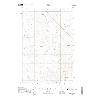 2020 Mount Antelope2020 Print · USGSMcCone and Dawson Counties are captured here in the 2020s, showing a rugged landscape of high plains coulees and ranching landmarks. Researchers can trace the drainage of Hell Creek and McCune Creek or locate landmarks like Mt Antelope and Circle Tower Hill.
 - 2020 Map of Fallon, 2020 Print
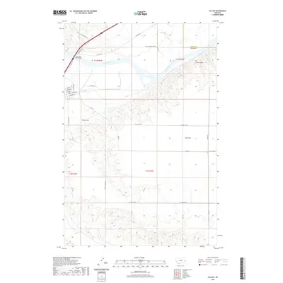 2020 Fallon2020 Print · USGSEastern Montana's river-and-prairie landscape is captured here in the early twenty-first century as the Yellowstone flows past the bluffs. Researchers can trace the rural road network across Fallon Flat and locate the Yellowstone River Bridge near Barrs Bluffs.
 - 2020 Map of Woodrow, 2020 Print
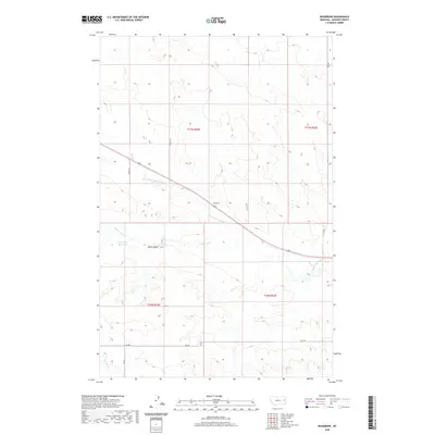 2020 Woodrow2020 Print · USGSDawson County rangeland remains a landscape of open vistas and vital water management in this modern survey. Genealogists and local historians can trace the paths of Upper Sevenmile Cr near Woodrow or locate landmarks like the Jack Downs Reservoir.
 - 2020 Map of Hendrickson Coulee, 2020 Print
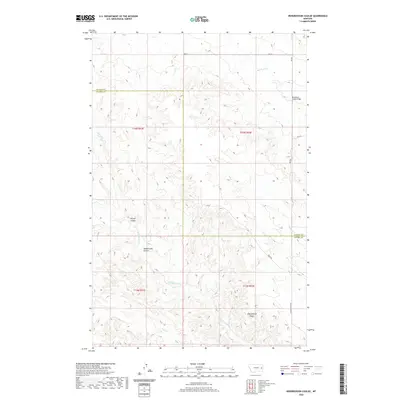 2020 Hendrickson Coulee2020 Print · USGSPrairie County ranchland is mapped here during the early twenty-first century, showing the interface with Dawson County along rugged drainage divides. Researchers can locate the Bad Route Creek Bridge and trace the winding paths of Hendrickson Coulee and Sheepshead Bluffs.
 - 2020 Map of Diamond G Creek, 2020 Print
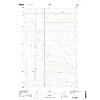 2020 Diamond G Creek2020 Print · USGSThe open ranchlands of Prairie and Dawson Counties are captured here in the early twenty-first century. Researchers can trace the remote path of Bad Route Rd as it winds past Diamond G Cr, McQuoid Coulee, and Cottonwood Cr.
 - 2020 Map of Lindsay SW, 2020 Print
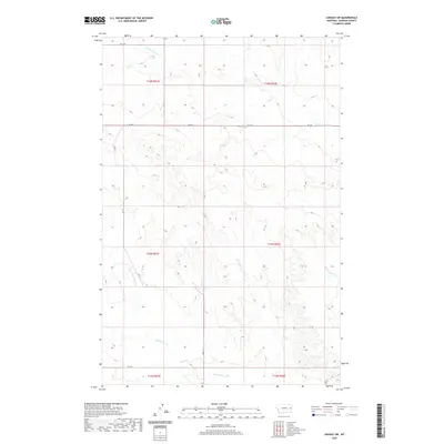 2020 Lindsay SW2020 Print · USGSDawson County, Montana, is depicted in the early twenty-first century as a rural expanse of prairie drainage and section roads. Researchers can trace the path of Bad Route Creek and identify local travel routes along RD 217 and RD 238.
 - 2020 Map of Simons Butte, 2020 Print
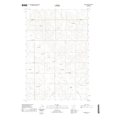 2020 Simons Butte2020 Print · USGSPrairie County ranchlands and the high plains of eastern Montana are captured here in the contemporary era. Trace the intricate drainage of Cabin Creek and find local landmarks such as Simons Butte, Roehl Coulee, and Red Barn Coulee.
 - 2020 Map of Diamond G Butte NW, 2020 Print
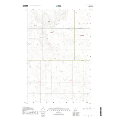 2020 Diamond G Butte NW2020 Print · USGSEastern Montana rangeland meets the Big Sheep Mountains in this modern survey of the high plains. Researchers can trace the drainages of Dry Ash Cr, Deep Bottom, and E Fork Bad Route Cr across three county lines.
 - 2020 Map of Freeman Creek, 2020 Print
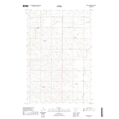 2020 Freeman Creek2020 Print · USGSDawson and Wibaux Counties appear as a sparse ranching landscape in this modern Montana survey. Genealogists and historians can trace property boundaries and seasonal drainages like Glendive Cr, Freeman Cr, and the local reach of Anvil Butte Rd.
Showing maps 1-25 of 132
Top cities of Dawson County
Frequently asked questions
- What are the different types of historical maps available for Dawson County?
- What is the oldest map of Dawson County?
- Where can I purchase historical maps of Dawson County for my home or office?
- Where can I download high-res historical maps of Dawson County?
- Are there historical topographic maps available for Dawson County?
- Is there historical aerial imagery available for Dawson County?
- Where are historical maps of Dawson County sourced from?