2020s Maps of Deer Lodge County, Montana
Explore 56 historic maps of Deer Lodge County from the 2020s. These maps offer a rare glimpse into what life looked like during the 2020s — showing old roads, neighborhoods, homes, and landmarks that have changed or disappeared over time.
Whether you're researching your family's past, planning a metal detecting trip, or studying how Deer Lodge County's landscape evolved across the 2020s, these high-resolution maps are a powerful tool for exploring the history of this region.
- Focus on a specific era: All maps on this page are from the 2020s, giving you a focused view of this time period.
- See what’s changed: Compare century-old streets, trails, and buildings to today's modern landscape using overlays and satellite layers.
- Research with precision: Use these maps for genealogy, historical research, land use analysis, or educational projects.
- View, download, or print: Maps are fully viewable online in high resolution, and can be downloaded or printed for your own records.
Start exploring Deer Lodge County's history through authentic maps from the 2020s. This is your window into the past.
Deer Lodge County, MT maps
(56)- 2020 Map of Dickie Peak, 2020 Print
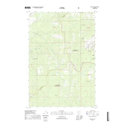 2020 Dickie Peak2020 Print · USGSThe high country of the Continental Divide comes into sharp focus in this 2020 record of the Montana wilderness. Hikers and historians can trace the Continental Divide National Scenic Trail as it passes near French Town, Dickie Peak, and the waters of Fish Lake.
 - 2020 Map of Anaconda North, 2020 Print
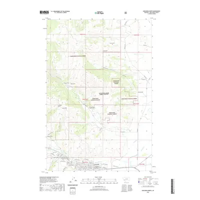 2020 Anaconda North2020 Print · USGSAnaconda's northern outskirts and industrial fringes are shown in detail as they appeared just a few years ago. Researchers can trace local lineage at Mount Olivet Cem or follow the natural contours of Stucky Ridge and Lost Creek.
 - 2020 Map of Orofino Creek, 2020 Print
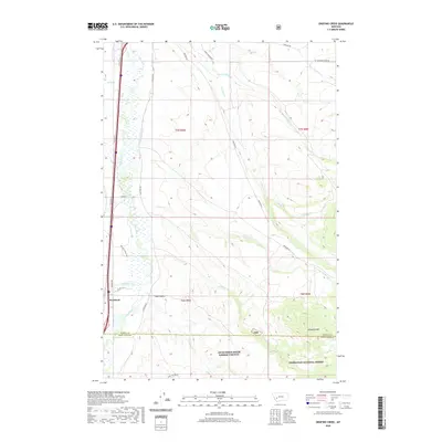 2020 Orofino Creek2020 Print · USGSThe valley around Racetrack and the Clark Fork river comes alive in this 2020 map of the Powell and Deer Lodge county line. Researchers can trace the complex network of irrigation and mountain streams, from Valiton Ditch to the high timber of Deerlodge National Forest.
 - 2020 Map of Warm Springs, 2020 Print
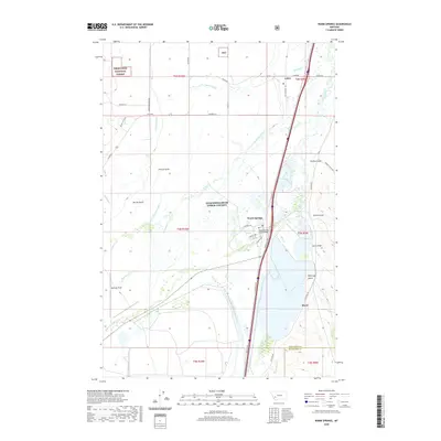 2020 Warm Springs2020 Print · USGSAnaconda-Deer Lodge County is documented here in the early twenty-first century, showing the intersection of irrigation and wilderness. Trace local landmarks like Warm Springs, the Jacobson Ditch, and Bowman Field along the Clark Fork valley.
 - 2020 Map of Lockhart Meadows, 2020 Print
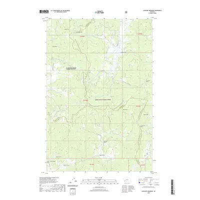 2020 Lockhart Meadows2020 Print · USGSThe high country of the Continental Divide in the early twenty-first century is captured here at the junction of three Montana counties. Hikers and historians can trace the Continental Divide National Scenic Trail as it passes Champion Pass, Lockhart Meadows, and Gospel Hill.
 - 2020 Map of Mount Powell, 2020 Print
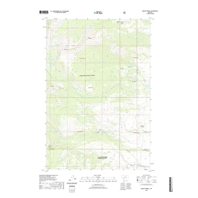 2020 Mount Powell2020 Print · USGSHigh in the Deer Lodge area during the early twenty-first century, this map documents a landscape of alpine lakes and national forest peaks. Researchers can trace the drainages of Racetrack Cr and Dempsey Cr or locate high-country landmarks like The Crater and Bielenberg Canyon.
 - 2020 Map of Opportunity, 2020 Print
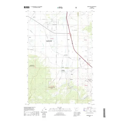 2020 Opportunity2020 Print · USGSThe Silver Bow Creek valley in the late 2010s reveals a blend of mountainous national forest and historic mining-era settlements. Genealogists and historians can trace the developments at Opportunity, the resort grounds of Fairmont Hot Springs, and the Anaconda Catholic Cem.
 - 2020 Map of Sugarloaf Mountain, 2020 Print
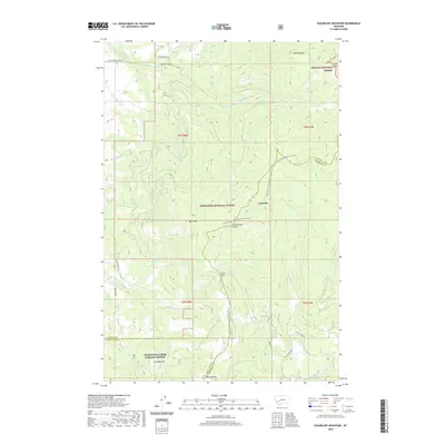 2020 Sugarloaf Mountain2020 Print · USGSThe Continental Divide separates the National Forests near Leadville in this recent survey of the Jefferson County high country. Hikers and historians can trace the Continental Divide National Scenic Trail past Schurchs Tunnel and the peaks of Sugarloaf Mtn.
 - 2020 Map of Anaconda South, 2020 Print
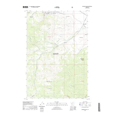 2020 Anaconda South2020 Print · USGSThe southern outskirts of Anaconda and the rugged Continental Divide are captured here in the contemporary era. Researchers can locate significant local heritage sites like Upper Hill Cem or trace the remote drainages of Sugarloaf Mtn and Elk Cr.
 - 2020 Map of Orofino Mountain, 2020 Print
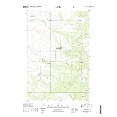 2020 Orofino Mountain2020 Print · USGSAnaconda-Deer Lodge County is documented here in the modern era, showing the intersection of high mountain peaks and protected forest land. Researchers can trace the drainages of Perkins Gulch, Telegraph Gulch, and the remote Barrel Springs.
 - 2020 Map of Racetrack, 2020 Print
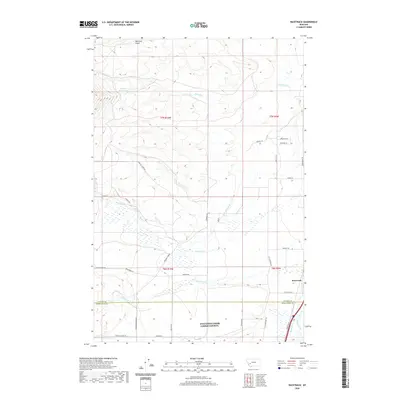 2020 Racetrack2020 Print · USGSIn the valley of the Clark Fork during the twenty-first century, this area reveals a deep history of Montana water rights and early motor touring. Researchers can trace the path of the Yellowstone Trl and examine irrigation works like the W Side Canal and Morrison Ditch.
 - 2020 Map of Dickie Hills, 2020 Print
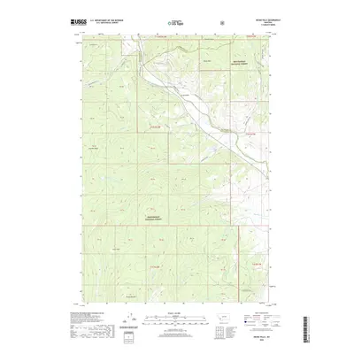 2020 Dickie Hills2020 Print · USGSThe high country of Silver Bow and Beaverhead counties is documented here in the early twenty-first century as the Big Hole River flows past Dickie Hills. Researchers can trace the remote roads and peaks of the Beaverhead National Forest, including Dickie Bridge and Round Top Mtn.
 - 2020 Map of Long Peak, 2020 Print
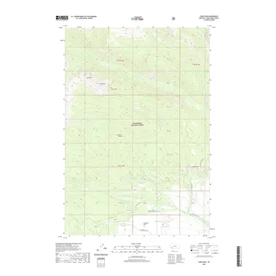 2020 Long Peak2020 Print · USGSDeer Lodge County high country is mapped here in the early twenty-first century, showing the remote peaks and timbered drainages of the Beaverhead National Forest. Researchers can locate seasonal sites like Camp Hollow and trace the headwaters of Swamp Cr and Trout Cr.
 - 2020 Map of Lincoln Gulch, 2020 Print
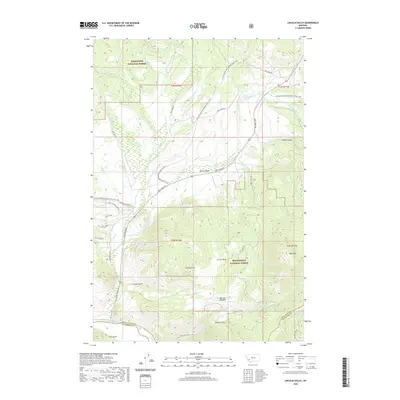 2020 Lincoln Gulch2020 Print · USGSThe Anaconda-Pintler wilderness area in the early twenty-first century reveals a landscape of high-altitude mining history and rugged forest terrain. Trace the paths of prospectors through Lincoln Gulch, French Gulch, and along the banks of the Big Hole River.
 - 2020 Map of Pine Hill, 2020 Print
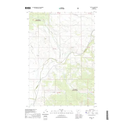 2020 Pine Hill2020 Print · USGSBeaverhead County terrain is centered on the Big Hole River as it appeared in the early twenty-first century. Researchers can trace remote mountain geography through named landmarks like Pine Hill, Chalk Bluff, and the waters of Toomey Lake.
 - 2020 Map of Lower Seymour Lake, 2020 Print
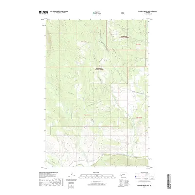 2020 Lower Seymour Lake2020 Print · USGSBeaverhead and Deer Lodge counties meet in this high-altitude wilderness during the 2020s, where the Continental Divide separates vast forest watersheds. Hikers and historians can trace the Continental Divide National Scenic Trail and the historic path of the Bacon Ditch near the Big Hole River.
 - 2020 Map of Pintler Lake, 2020 Print
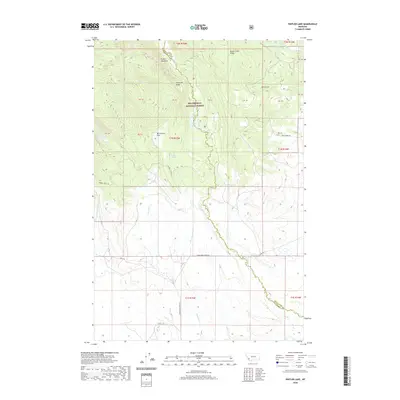 2020 Pintler Lake2020 Print · USGSBeaverhead County and the Anaconda Range are mapped here in the modern era, showing the high-country border with Deer Lodge County. Researchers can trace remote mountain water sources and trails near Pintler Lake, McCormick Park, and Pintler Falls.
 - 2020 Map of Warren Peak, 2020 Print
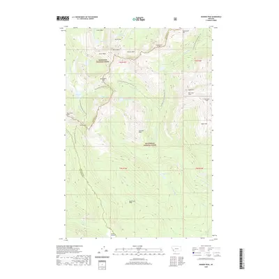 2020 Warren Peak2020 Print · USGSHigh in the Anaconda Range during the early twenty-first century, this area shows the intersection of two National Forests along the backbone of the continent. Hikers and historians can trace the Continental Divide National Scenic Trail past Warren Peak and the remote Pintler Meadows.
 - 2020 Map of Foolhen Mountain, 2020 Print
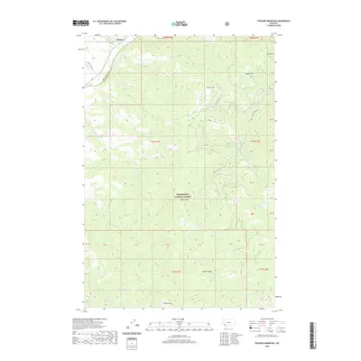 2020 Foolhen Mountain2020 Print · USGSThe high-elevation wilderness of the Beaverhead-Deer Lodge county line is captured here in the early twenty-first century. Researchers can trace the remote drainage systems of the Big Hole River and locate mountain landmarks like Trident Peak and Foolhen Mtn.
 - 2020 Map of Kelly Lake, 2020 Print
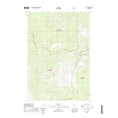 2020 Kelly Lake2020 Print · USGSHigh in the Montana mountains during the early twenty-first century, this area marks the intersection of four counties at the Continental Divide. Trace the high-altitude route of the Continental Divide National Scenic Trail as it passes Pintler Peak and the remote Kelly Lake.
 - 2020 Map of Silver Lake, 2020 Print
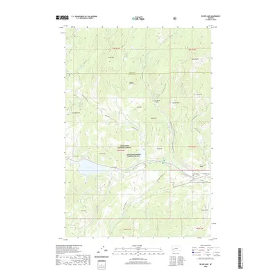 2020 Silver Lake2020 Print · USGSThe mountain basin around Georgetown and Silver Lake comes into focus in this recent survey of the Flint Creek Range. Researchers can trace old thoroughfares like Southern Cross Rd and locate high-country landmarks from Yankee Flat to Cable Mtn.
 - 2020 Map of Pozega Lakes, 2020 Print
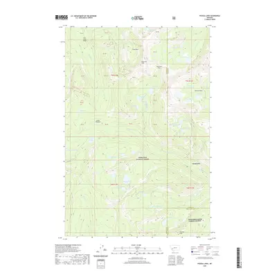 2020 Pozega Lakes2020 Print · USGSThe Flint Creek Range high country comes into focus in this modern survey of the Deerlodge National Forest. Researchers can locate the settlement of Danielsville and trace the high-altitude drainages near Racetrack Peak and Big Pozega Lake.
 - 2020 Map of Mount Haggin, 2020 Print
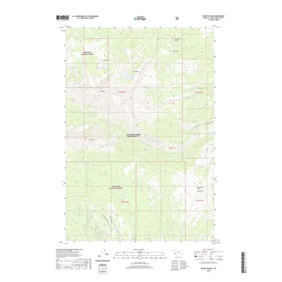 2020 Mount Haggin2020 Print · USGSAnaconda-Deer Lodge County is shown here in the contemporary era, centered on the high peaks of the Deerlodge National Forest. Researchers can trace the path of the Continental Divide and find remote landmarks like Hearst Lake, Mt Haggin, and the Clear Creek Trl.
 - 2020 Map of West Valley, 2020 Print
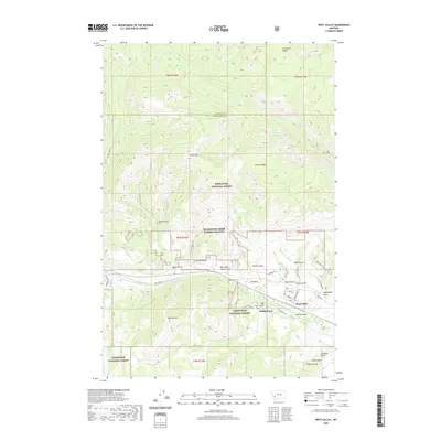 2020 West Valley2020 Print · USGSDeer Lodge County's high country is captured here in the early twenty-first century as it transitions from the national forest to the valley floor. Researchers can trace historical routes like Cable Road and locate the small settlements of West Valley and Stump Town.
 - 2020 Map of Georgetown Lake, 2020 Print
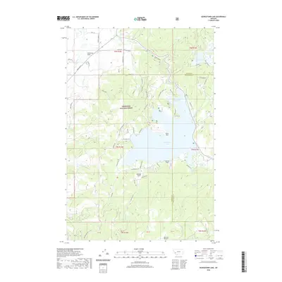 2020 Georgetown Lake2020 Print · USGSGeorgetown Lake and its surrounding mountain terrain are captured here in the contemporary era as a hub of recreation and forest management. Researchers can trace lakeshore developments and remote landmarks like Philipsburg Bay, Echo Lake, and Blodgett Gulch.
Showing maps 1-25 of 56
Top cities of Deer Lodge County
Frequently asked questions
- What are the different types of historical maps available for Deer Lodge County?
- What is the oldest map of Deer Lodge County?
- Where can I purchase historical maps of Deer Lodge County for my home or office?
- Where can I download high-res historical maps of Deer Lodge County?
- Are there historical topographic maps available for Deer Lodge County?
- Is there historical aerial imagery available for Deer Lodge County?
- Where are historical maps of Deer Lodge County sourced from?