2010s Maps of Mineral County, Montana
Explore 123 historic maps of Mineral County from the 2010s. These maps offer a rare glimpse into what life looked like during the 2010s — showing old roads, neighborhoods, homes, and landmarks that have changed or disappeared over time.
Whether you're researching your family's past, planning a metal detecting trip, or studying how Mineral County's landscape evolved across the 2010s, these high-resolution maps are a powerful tool for exploring the history of this region.
- Focus on a specific era: All maps on this page are from the 2010s, giving you a focused view of this time period.
- See what’s changed: Compare century-old streets, trails, and buildings to today's modern landscape using overlays and satellite layers.
- Research with precision: Use these maps for genealogy, historical research, land use analysis, or educational projects.
- View, download, or print: Maps are fully viewable online in high resolution, and can be downloaded or printed for your own records.
Start exploring Mineral County's history through authentic maps from the 2010s. This is your window into the past.
Mineral County, MT maps
(123)- 2011 Map of Lookout Pass, 2011 Print
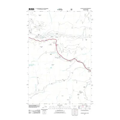 2011 Lookout Pass2011 Print · USGSThe Montana-Idaho border in the Bitterroot Mountains appears here as a complex network of mining and high-altitude transit. Trace the legacy of mountain engineering and extraction through the Saint Paul Pass Tunnel, the Snowstorm Mine, and the Old Yellowstone Trl.
 - 2011 Map of Granite Pass, 2011 Print
 2011 Granite Pass2011 Print · USGSThe Bitterroot wilderness at the Idaho-Montana border is captured here in the early twenty-first century. Researchers can trace high-altitude drainage systems and access routes through Granite Pass, BM Hill Lookout, and the winding Crooked Fork.
 - 2011 Map of Rhodes Peak, 2011 Print
 2011 Rhodes Peak2011 Print · USGSThe high Montana backcountry at the start of the 2010s is mapped here in detail, showing a wilderness of named peaks and alpine lakes. Researchers can trace the headwaters of Kelly Creek and locate remote landmarks like Blacklead Mountain and Smokey Lake.
 - 2011 Map of Wilson Gulch, 2011 Print
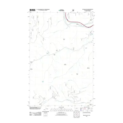 2011 Wilson Gulch2011 Print · USGSMineral County's mountainous terrain is captured here in the early twenty-first century, showcasing a landscape of high peaks and river valleys. Researchers can locate extraction sites like the Dry Fork Mine and trace water routes from Wilson Lake to Oregon Creek.
 - 2011 Map of Schley Mountain, 2011 Print
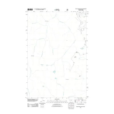 2011 Schley Mountain2011 Print · USGSHigh in the Bitterroot mountains during the early twenty-first century, this area shows a landscape defined by peaks and remote drainages. Researchers can locate high-country landmarks like the Snowshoe Mine, Admiral Peak, and Indian Creek Lodge.
 - 2011 Map of Lupine Creek, 2011 Print
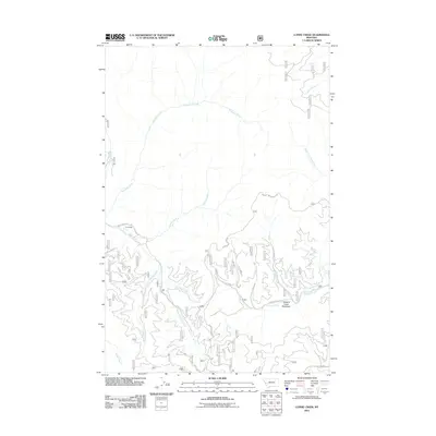 2011 Lupine Creek2011 Print · USGSThis Montana mountain landscape in the early twenty-first century reveals a network of high-country drainages and forest settlements. Local historians can trace the geography of Grovedale, the riparian expanse of Howard Creek Meadows, and the winding S Fork Fish Creek Rd.
 - 2011 Map of Lolo Hot Springs, 2011 Print
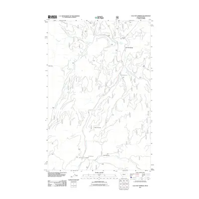 2011 Lolo Hot Springs2011 Print · USGSThe Bitterroot mountainside at the Montana-Idaho border comes into focus in this recent study. You can trace the alpine terrain surrounding Lolo Hot Springs, the high trails near Wagon Mountain, and historical landmarks like the State Line Cabin.
 - 2011 Map of Adair, 2011 Print
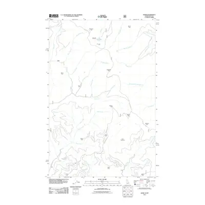 2011 Adair2011 Print · USGSShoshone County’s high country is documented here in the early twenty-first century, showing a remote landscape of mining claims and peaks. Researchers can locate Hansey Mines, the Silver Lake West Mine, and the high waters of Silver Lake.
 - 2011 Map of Saint Patrick Peak, 2011 Print
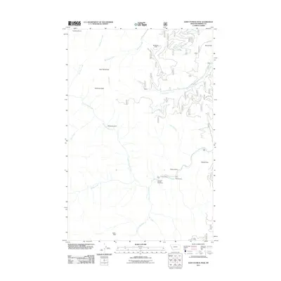 2011 Saint Patrick Peak2011 Print · USGSMineral County, Montana, is shown in the early 2010s as a high-altitude wilderness of interconnected creek drainages and soaring peaks. Researchers can locate remote outposts like Baileys Lodge and the Hole-in-the-Wall Ranch, or trace the paths of North Fork Fish Creek and Saint Patrick Peak.
 - 2011 Map of Berge Peak, 2011 Print
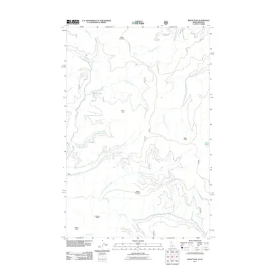 2011 Berge Peak2011 Print · USGSThe high Idaho-Montana border country is charted here in the years following the turn of the millennium. Outdoor enthusiasts and geographers can trace the steep drainage networks of Gold Creek and locate isolated features like Lenore Lake, Pegleg Mountain, and Summit Springs.
 - 2011 Map of Mullan, 2011 Print
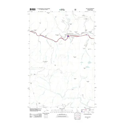 2011 Mullan2011 Print · USGSMullan and the surrounding Coeur d'Alene mountains are shown here during a period of modern mining and forest management. Researchers can trace the proximity of active sites like the Lucky Friday Mine to historical settlements at Golconda and landmarks like Moon Pass.
 - 2011 Map of Sunset Peak, 2011 Print
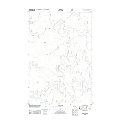 2011 Sunset Peak2011 Print · USGSSanders County in the early 2010s reveals a mountain landscape shaped by mining and forest management. Researchers can trace historic mineral sites like Miller Mine and Eddy Creek Mine alongside distinctive named routes like Dry Fork Rd and Seven Up.
 - 2011 Map of Williams Peak, 2011 Print
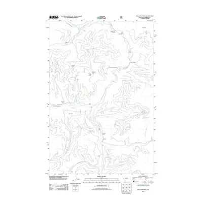 2011 Williams Peak2011 Print · USGSWestern Montana's Mineral County is mapped here in the early twenty-first century, showing a landscape of high peaks and forest management. Researchers can locate the historic Fish Creek Mine, the Williams Peak Lookout, and the site of the Largest Pine in Montana.
 - 2011 Map of Saltese, 2011 Print
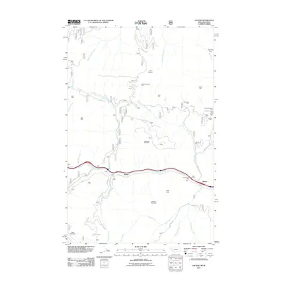 2011 Saltese2011 Print · USGSThe Bitterroot Range on the Montana-Idaho border appears here in the early twenty-first century, centered on the historic mining and rail corridor. Researchers can trace the heritage of local extraction at the Silver Cable Mine and Inland Mine or locate family plots at the Saltese Cemetery.
 - 2011 Map of Sherlock Peak, 2011 Print
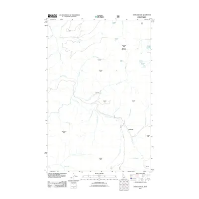 2011 Sherlock Peak2011 Print · USGSThe upper Saint Joe River valley in the early twenty-first century remains a landscape of high peaks and isolated outposts. Researchers can locate the Gold Nugget Mine and trace early routes near McDonalds and Olsons within the Bitterroot Mountains.
 - 2011 Map of McGee Peak, 2011 Print
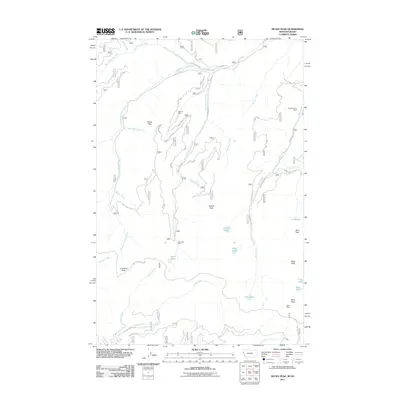 2011 McGee Peak2011 Print · USGSShoshone County’s high-mountain mining districts are captured here in the early twenty-first century. Researchers and hikers can trace the geography of old workings like the Minnick Mine and Gold Chrome Mine alongside remote landmarks like Ward Cabin.
 - 2011 Map of Bruin Hill, 2011 Print
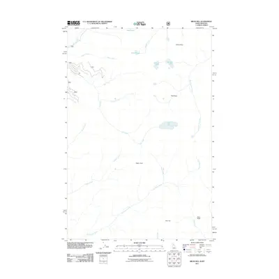 2011 Bruin Hill2011 Print · USGSMineral County at the Idaho-Montana border was a landscape of high ridges and alpine basins in the early 2000s. Trace old trails and watercourses through Chilcoot Pass or identify landmarks like Bruin Hill and Fish Lake.
 - 2011 Map of White Mountain, 2011 Print
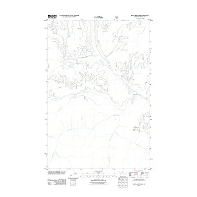 2011 White Mountain2011 Print · USGSMineral County's high country is captured here during the early twenty-first century, showing a landscape defined by fire lookouts and mountain springs. Genealogists and researchers can trace the remote geography surrounding the White Mountain Lookout Tower, Lion Point, and the headwaters of South Fork Fish Creek.
 - 2011 Map of Illinois Peak, 2011 Print
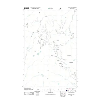 2011 Illinois Peak2011 Print · USGSThe high Bitterroot crest along the Idaho-Montana border in the early 2000s reveals a landscape defined by its mining heritage and river headwaters. Researchers can trace historic operations at the Silver Snowstorm Mine and American Gold Mine, or find the origins of the Saint Joe River at Saint Joe Lake.
 - 2011 Map of Straight Peak, 2011 Print
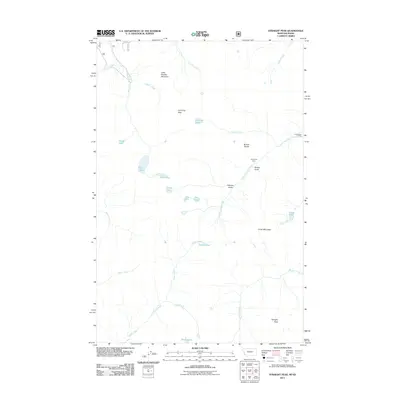 2011 Straight Peak2011 Print · USGSShoshone County high country at the Idaho-Montana border is captured here in the early twenty-first century. Researchers can trace remote backcountry outposts like Greenwood Cabins and North Fork Cabin or locate alpine landmarks such as Crater Lake and Straight Peak.
 - 2011 Map of Petty Mountain, 2011 Print
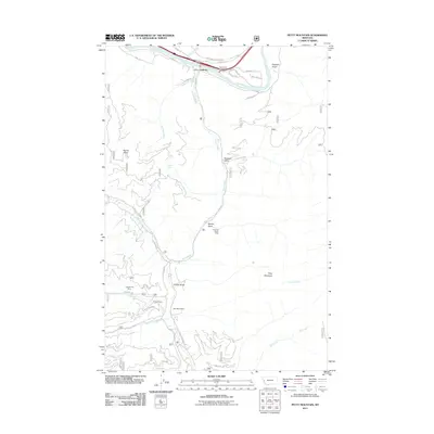 2011 Petty Mountain2011 Print · USGSThe Clark Fork valley and its surrounding gulches come into focus during this 2011 survey of western Montana. Genealogists and researchers can trace the reach of the Inverness Group Mine, identify the lands of Circle S Ranch, and locate landmarks like Lothrop and Petty Mountain.
 - 2011 Map of Deer Peak, 2011 Print
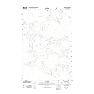 2011 Deer Peak2011 Print · USGSMissoula County highlands come into focus in the early 2010s, revealing a landscape of timber-service roads and isolated drainage systems. Genealogists and researchers can trace local access points like Hebert or follow the paths of West Fork Petty Creek and Ed's Ridge.
 - 2011 Map of Keystone Peak, 2011 Print
 2011 Keystone Peak2011 Print · USGSMineral County mining country is documented here in the early 2000s, centered on the historic district around Keystone Peak. Genealogists and historians can trace numerous workings including the Keystone Mine, Santa Rita Mine, and the Nancy Lee Millsite.
 - 2011 Map of Stark South, 2011 Print
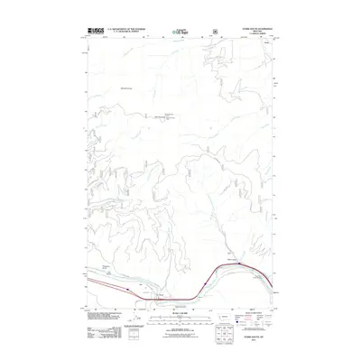 2011 Stark South2011 Print · USGSThe Clark Fork river corridor in western Montana is shown here in the early twenty-first century, centered on the settlements of Cyr and Stark. Local historians can trace canyon crossings at Cyr Bridge and the Clark Fork River Bridge or locate the Stark Mountain Lookout.
 - 2011 Map of Tarkio, 2011 Print
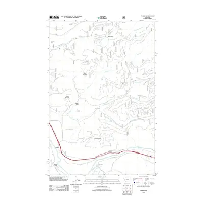 2011 Tarkio2011 Print · USGSThe mountain community of Tarkio is captured here along the Clark Fork during the early 21st century. Historians and researchers can trace the reach of the mining era at Roosevelt Mine or locate family burial sites at the Tarkio Cemetery.
Showing maps 1-25 of 123
Top cities of Mineral County
Frequently asked questions
- What are the different types of historical maps available for Mineral County?
- What is the oldest map of Mineral County?
- Where can I purchase historical maps of Mineral County for my home or office?
- Where can I download high-res historical maps of Mineral County?
- Are there historical topographic maps available for Mineral County?
- Is there historical aerial imagery available for Mineral County?
- Where are historical maps of Mineral County sourced from?