2020s Maps of Mineral County, Montana
Explore 82 historic maps of Mineral County from the 2020s. These maps offer a rare glimpse into what life looked like during the 2020s — showing old roads, neighborhoods, homes, and landmarks that have changed or disappeared over time.
Whether you're researching your family's past, planning a metal detecting trip, or studying how Mineral County's landscape evolved across the 2020s, these high-resolution maps are a powerful tool for exploring the history of this region.
- Focus on a specific era: All maps on this page are from the 2020s, giving you a focused view of this time period.
- See what’s changed: Compare century-old streets, trails, and buildings to today's modern landscape using overlays and satellite layers.
- Research with precision: Use these maps for genealogy, historical research, land use analysis, or educational projects.
- View, download, or print: Maps are fully viewable online in high resolution, and can be downloaded or printed for your own records.
Start exploring Mineral County's history through authentic maps from the 2020s. This is your window into the past.
Mineral County, MT maps
(82)- 2020 Map of Hoodoo Pass, 2020 Print
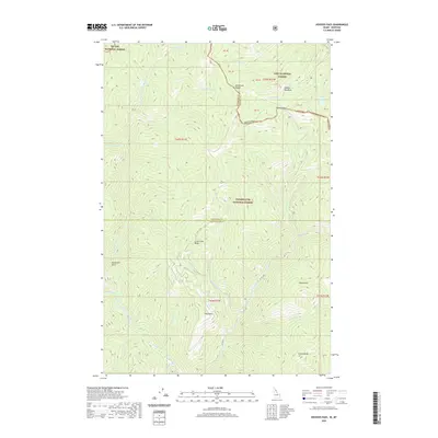 2020 Hoodoo Pass2020 Print · USGSNortheastern Kansas at the turn of the century shows a thriving network of rail lines and rural school districts. Genealogists can trace family homesteads near the M. P. R. R. or locate ancestral sites like McCarty Cemetery and Pleasant Hill School.
 - 2020 Map of Berge Peak, 2020 Print
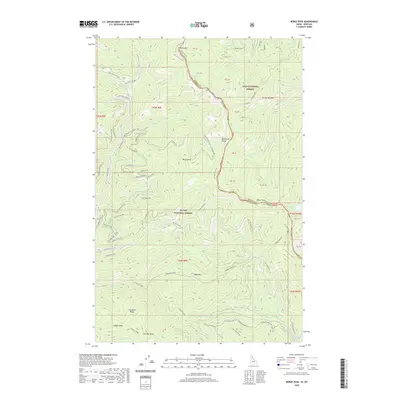 2020 Berge Peak2020 Print · USGSThe Bitterroot Range along the Idaho-Montana border is shown here in the contemporary era, spanning two national forests. Researchers can trace high-altitude water sources and remote landmarks like Summit Springs, Pegleg Mountain, and Lenore Lake.
 - 2020 Map of Adair, 2020 Print
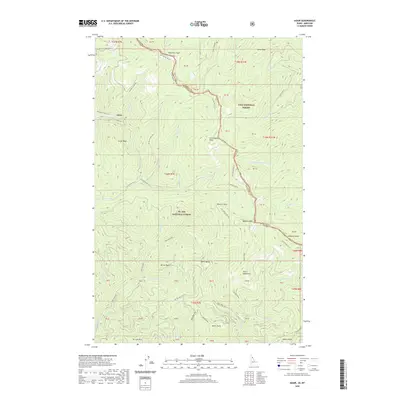 2020 Adair2020 Print · USGSShoshone County and the Montana border are mapped here in the modern era, showing the intersection of mountain peaks and historic rail corridors. Trace the path of the Hiawatha Rail Trail past Adair and locate high-altitude landmarks like Silver Lake, Dominion Peak, and Crittenden Peak.
 - 2020 Map of Sherlock Peak, 2020 Print
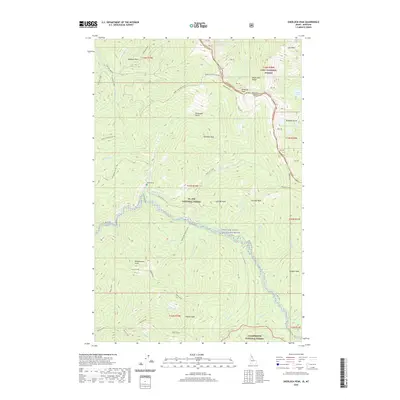 2020 Sherlock Peak2020 Print · USGSThe Bitterroot Range along the Idaho-Montana border remains a wild landscape of high peaks and protected waters in this recent survey. Researchers can trace the headwaters of the Saint Joe Wild and Scenic River and locate the lonely Heller Grave near Sherlock Peak.
 - 2020 Map of Mullan, 2020 Print
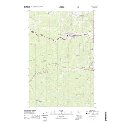 2020 Mullan2020 Print · USGSShoshone County at the turn of the 2020s remains a landscape of industrial heritage and high-mountain passes. Genealogists and local historians can trace the town of Mullan and its three historic cemeteries, or locate the high-altitude Champion Mine and Moon Pass.
 - 2020 Map of Bruin Hill, 2020 Print
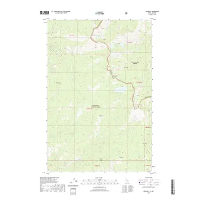 2020 Bruin Hill2020 Print · USGSThe Bitterroot Range forms a natural boundary between Idaho and Montana in this 2020 survey of high-mountain wilderness. Local historians and hunters can trace the terrain from Chilcoot Pass down to the remote waters of Siamese Lakes and Fish Lake.
 - 2020 Map of Granite Pass, 2020 Print
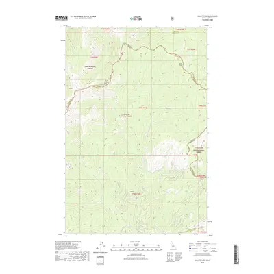 2020 Granite Pass2020 Print · USGSThe Bitterroot Divide defines this recent survey of the mountain borderlands where Montana and Idaho meet at the high crests. Local researchers can trace the ridgeline boundary from Granite Pass past high points like Granite Peak and Pilot Knob.
 - 2020 Map of Rhodes Peak, 2020 Print
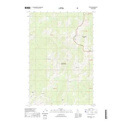 2020 Rhodes Peak2020 Print · USGSThe Bitterroot Range divide comes alive in this modern survey of the high backcountry where Montana meets Idaho. Hikers and historians can trace the high-altitude topography of Rhodes Peak, Cache Saddle, and the remote Goat Lake.
 - 2020 Map of Williams Peak, 2020 Print
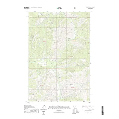 2020 Williams Peak2020 Print · USGSMineral County's high country is captured in this contemporary survey of the Lolo National Forest and its drainage networks. Researchers can map out the rugged access routes near Williams Peak, the terrain of Williams Pass, and the course of Fish Creek.
 - 2020 Map of Penrose Peak, 2020 Print
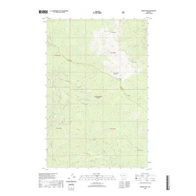 2020 Penrose Peak2020 Print · USGSThe high ridges of the Bitterroot Range come into focus in this recent survey of the Sanders and Mineral County line. Hikers and researchers can trace the crest of the C C Divide between Penrose Peak and Cherry Peak, or locate remote water sources like Acorn Lake and Breen Spr.
 - 2020 Map of Lolo Hot Springs, 2020 Print
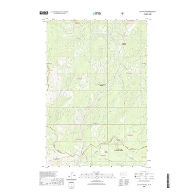 2020 Lolo Hot Springs2020 Print · USGSThe Bitterroot Range crossing at the Montana-Idaho border is captured here in the modern era. Trace the historic paths through Lolo Pass and Packer Meadows, or locate the specific topography around Lolo Hot Springs and Wagon Mountain.
 - 2020 Map of McGee Peak, 2020 Print
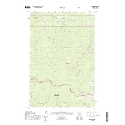 2020 McGee Peak2020 Print · USGSThe Bitterroot Range forms a rugged border between Montana and Idaho in 2020, dividing two massive national forests. Researchers can trace forest development roads to high-altitude landmarks like Heart Lake, McGee Peak, and the prospecting sites at Glitter.
 - 2020 Map of Wilson Gulch, 2020 Print
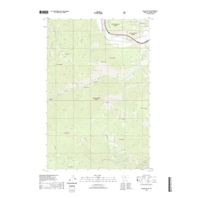 2020 Wilson Gulch2020 Print · USGSMineral County's mountain terrain and the Clark Fork river valley are recorded here in the early twenty-first century. Researchers can trace the path of Old US Hwy 10 along the river or locate alpine features like Wilson Lake and Mt Baldy.
 - 2020 Map of White Mountain, 2020 Print
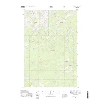 2020 White Mountain2020 Print · USGSMineral County’s high-country wilderness is documented in the modern era as a region of dense forest and deep drainages. Researchers can trace forest access routes like Thompson Creek Rd and locate topographic landmarks including Lion Point and White Mtn.
 - 2020 Map of Deer Peak, 2020 Print
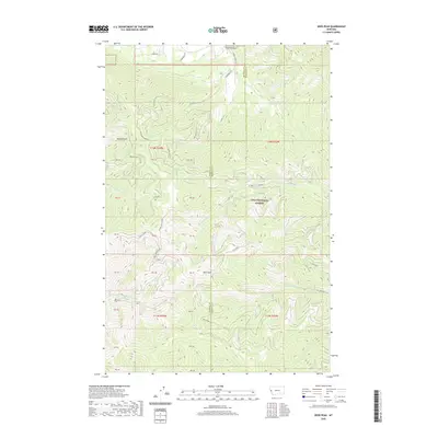 2020 Deer Peak2020 Print · USGSThe high timberlands along the Missoula and Mineral county line are meticulously detailed in this recent survey. Local researchers can trace the drainages of W Fork Petty Cr and Deer Cr or locate specific points along Ed's Ridge and Sawmill Gulch.
 - 2020 Map of Petty Mountain, 2020 Print
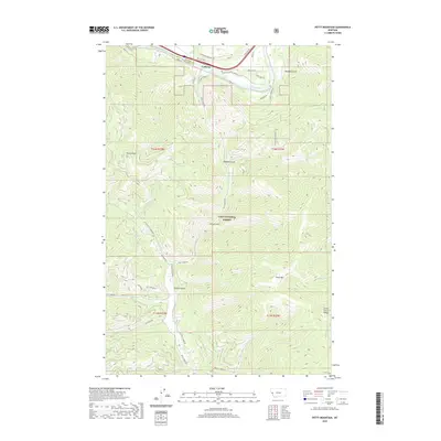 2020 Petty Mountain2020 Print · USGSMineral and Missoula counties meet in this mountainous 2020 landscape where the Clark Fork valley hosts the settlement of Lothrop. Researchers can trace the network of forest roads and trails connecting landmarks like Petty Mtn, Martin Point, and the Moulton Reservoir Number Two.
 - 2020 Map of Straight Peak, 2020 Print
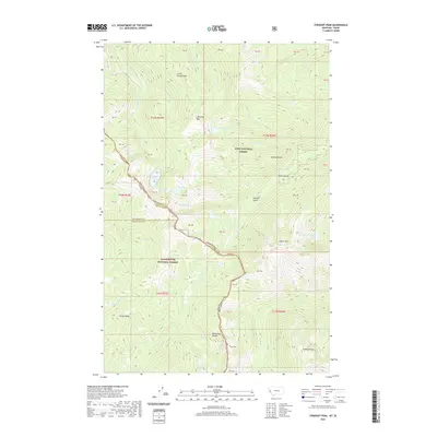 2020 Straight Peak2020 Print · USGSThe high crest of the Bitterroot Range defines this Idaho-Montana borderlands survey during the late twentieth century. Hikers and researchers can trace remote alpine features including Crater Mountain, Buckos Pocket, and the high-elevation Steep Lakes.
 - 2020 Map of Torino Peak, 2020 Print
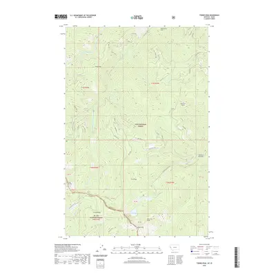 2020 Torino Peak2020 Print · USGSThe Bitterroot Range forms a high-altitude border between Idaho and Montana in this 2020 survey of Shoshone and Mineral counties. Trace the remote state line between Torino Peak and Sunset Peak, finding secluded water bodies like Diamond Lake and Cliff Lake.
 - 2020 Map of Saint Patrick Peak, 2020 Print
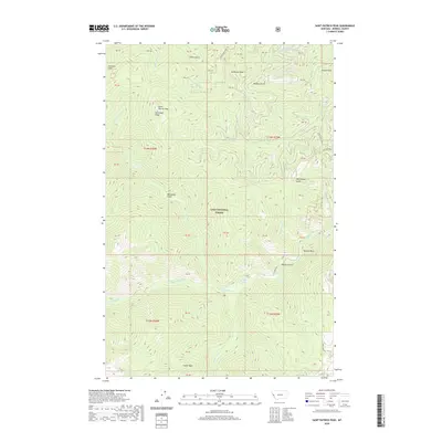 2020 Saint Patrick Peak2020 Print · USGSMineral County's high ridges and drainage basins are captured in detail here during the twenty-first century. Researchers can trace the network of forestry roads and mountain summits, from Saint Patrick Peak and Cedar Peak to the winding course of Fish Creek.
 - 2020 Map of Lupine Creek, 2020 Print
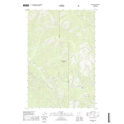 2020 Lupine Creek2020 Print · USGSThis part of the Bitterroot Mountains near the Mineral and Missoula county line shows a high-elevation wilderness as it appeared in recent years. Researchers can trace remote forest routes like Wagon Mountain Rd or locate landmarks such as Howard Creek Meadows and Spring Gulch.
 - 2020 Map of De Borgia South, 2020 Print
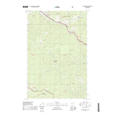 2020 De Borgia South2020 Print · USGSThe Bitterroot Range and the valley of the Saint Regis River define this Montana landscape during the early 2020s. Researchers can locate the De Borgia Cem and trace the paths through Henderson, Cabin City, and Drexel.
 - 2020 Map of Haugan, 2020 Print
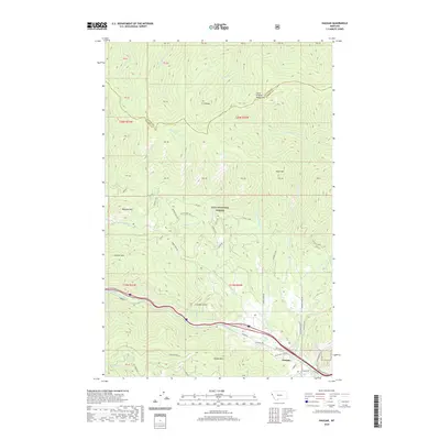 2020 Haugan2020 Print · USGSMineral County's mountain passes and river valleys are shown in detail during the early twenty-first century. Researchers can trace forest service history and local topography through landmarks like Haugan Mtn, the Saint Regis River, and Timber Creek Rd.
 - 2020 Map of Schley Mountain, 2020 Print
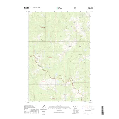 2020 Schley Mountain2020 Print · USGSThe high divide of the Bitterroot Range defines this remote borderland during the early twenty-first century. Hikers and cartographers can trace the high-altitude trails and peaks of the Lolo National Forest, including Schley Mtn, Admiral Peak, and Kid Lake.
 - 2020 Map of Boyd Mountain, 2020 Print
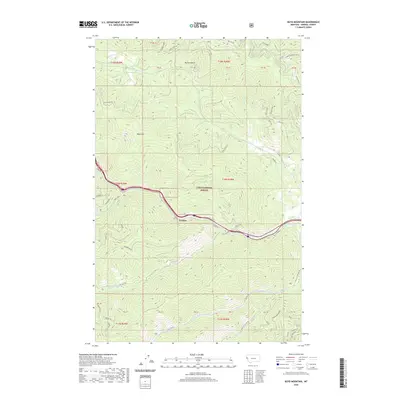 2020 Boyd Mountain2020 Print · USGSMineral County's mountain corridor comes into focus in this recent survey of the area around Foraker and the Saint Regis River. Researchers can trace forest access routes and water sources like Cold Creek Spr while scouting the terrain of Boyd Mountain and Newman Ridge.
 - 2020 Map of Tarkio, 2020 Print
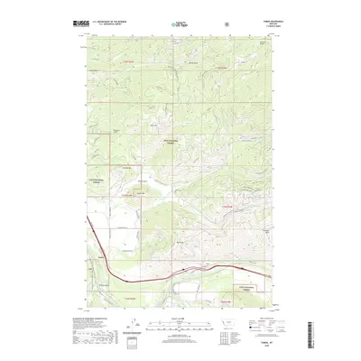 2020 Tarkio2020 Print · USGSWestern Montana's mountain and river terrain is captured here in the contemporary era, centered on the Tarkio settlement and the Clark Fork valley. Researchers can find local landmarks like Tarkio Cem, Fish Creek Cem, and the historic Quartz Pasture.
Showing maps 1-25 of 82
Top cities of Mineral County
Frequently asked questions
- What are the different types of historical maps available for Mineral County?
- What is the oldest map of Mineral County?
- Where can I purchase historical maps of Mineral County for my home or office?
- Where can I download high-res historical maps of Mineral County?
- Are there historical topographic maps available for Mineral County?
- Is there historical aerial imagery available for Mineral County?
- Where are historical maps of Mineral County sourced from?