2000s (21st Century) Maps of Powell County, Montana
Explore 331 historic maps of Powell County from the 2000s (21st Century). These maps offer a rare glimpse into what life looked like during the 2000s — showing old roads, neighborhoods, homes, and landmarks that have changed or disappeared over time.
Whether you're researching your family's past, planning a metal detecting trip, or studying how Powell County's landscape evolved across the 2000s, these high-resolution maps are a powerful tool for exploring the history of this region.
- Focus on a specific era: All maps on this page are from the 2000s, giving you a focused view of this time period.
- See what’s changed: Compare century-old streets, trails, and buildings to today's modern landscape using overlays and satellite layers.
- Research with precision: Use these maps for genealogy, historical research, land use analysis, or educational projects.
- View, download, or print: Maps are fully viewable online in high resolution, and can be downloaded or printed for your own records.
Start exploring Powell County's history through authentic maps from the 2000s. This is your window into the past.
Powell County, MT maps
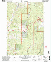
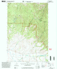
(331)- 2001 Map of Greenhorn Mountain, 2004 Print
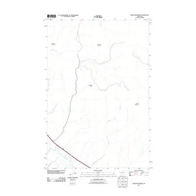
 2001 Greenhorn Mountain2004 Print · USGSThe high passes of the Continental Divide come into focus in this turn-of-the-millennium survey of the northern Rockies. You can trace the path of the Mullan Tunnel and locate historic mining operations like Drumlummon and the Strawberry Mine.
 - 2001 Map of Nevada Lake, 2004 Print
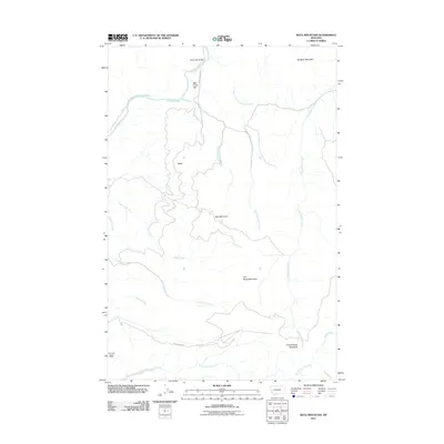
 2001 Nevada Lake2004 Print · USGSThe high country of Powell County is captured here at the start of the millennium, showing a landscape shaped by mining and water management. Researchers can locate old mines near Puzzle Gulch, the settlement at Mannix, and the isolated Grave near Nevada Creek.
 - 2001 Map of Moose Creek, 2004 Print
 2001 Moose Creek2004 Print · USGSIn the mountains of Powell County at the start of the twenty-first century, this landscape reveals a transition from frontier mining to forest management. Researchers can find the Site of Old Lincoln, the Lincoln Gulch Cem, and the Blackfoot Mine.
 - 2001 Map of Marcum Mountain, 2004 Print
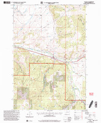
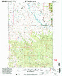
 2001 Marcum Mountain2004 Print · USGSPowell County ranching and timber lands are captured here at the turn of the millennium as the mountain slopes meet the valley floor. Researchers can trace historic water rights and homesteads through features like Steeles Ranch, the Helmville Canal, and Coughlin.
 - 2001 Map of Esmeralda Hill, 2004 Print
 2001 Esmeralda Hill2004 Print · USGSThe high peaks and drainages of the Continental Divide in Montana appear here as they were managed at the start of the new millennium. Researchers can trace the legacy of mineral extraction through numerous prospects and adits near Esmeralda Hill and the Betor Ranch.
 - 2001 Map of Macdonald Pass, 2004 Print
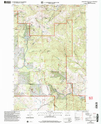
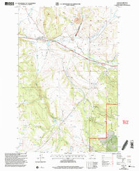
 2001 Macdonald Pass2004 Print · USGSThe Continental Divide serves as the backbone of this high-altitude landscape at the start of the new millennium. Researchers can trace the path of the Cromwell-Dixon Pipeline or locate mining artifacts at Rich Spur and Frontier Town.
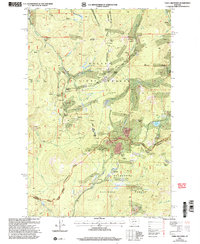
 - 2001 Map of Elliston, 2004 Print
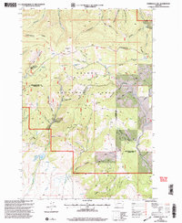
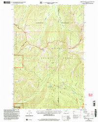
 2001 Elliston2004 Print · USGSThe Powell County high country at the turn of the millennium shows a landscape shaped by mining and the timber of the Helena National Forest. Researchers can locate legacy sites like the Carbonate King Mine, the Cem near Elliston, and mountain retreats at Camp Child or Lily Lake.
 - 2001 Map of Nevada Mountain, 2004 Print
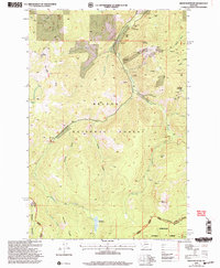
 2001 Nevada Mountain2004 Print · USGSThe high Divide between Lewis and Clark and Powell counties is captured here at the start of the millennium. Researchers can trace the path of the Continental Divide Scenic Trail, find the Nevada Creek Guard Station, and locate the Cyclone Mine.
 - 2001 Map of Ophir Creek, 2004 Print
 2001 Ophir Creek2004 Print · USGSMining districts and mountain settlements line the Continental Divide at the dawn of the 21st century. Genealogists and historians can trace the foundations of Blackfoot City and its nearby Cem, alongside numerous Placer Mines and the Victory Mine.
 - 2001 Map of Finn, 2004 Print
 2001 Finn2004 Print · USGSUpper Nevada Creek and the Avon Valley appear here at the turn of the millennium, showing a remote mountain landscape shaped by ranching and mining. Researchers can trace historic extraction sites like Wiggins Mine and the old settlement of Finn near Finn Creek.
 - 2001 Map of Three Brothers, 2004 Print
 2001 Three Brothers2004 Print · USGSThe high Montana mining country near the turn of the millennium shows a landscape defined by its timber and mineral resources. Local researchers can locate early mining camps and workings including Hub Camp, Booth, and the Monte Cristo Mine along the Continental Divide.
 - 2001 Map of Olson Peak, 2004 Print
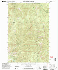
 2001 Olson Peak2004 Print · USGSThe Scapegoat Wilderness and dual National Forests meet here at the turn of the millennium, showing a high-altitude landscape before modern changes. Researchers can trace the drainage of the North Fork Blackfoot River and locate remote summits like Olson Peak and Bugle Mountain.
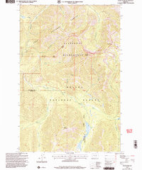
 - 2001 Map of Helmville, 2004 Print
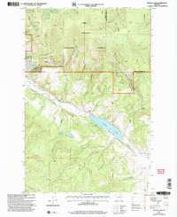
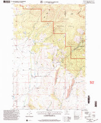
 2001 Helmville2004 Print · USGSHelmville and the surrounding Blackfoot River valley are captured here at the turn of the century as ranching and forestry shaped the landscape. Genealogists and historians can trace family ties at the Cem and Grave, or locate old workings like the Roselle Mine near Puzzle Gulch.
 - 2001 Map of Avon, 2004 Print
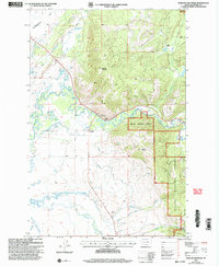
 2001 Avon2004 Print · USGSAvon and the surrounding valley are shown here at the turn of the millennium as a hub for ranching and resource management. Researchers can locate the cemetery near Threemile Creek, trace the Little Blackfoot River, and identify sites like Pauly or the Placer Mine.
 - 2001 Map of Arrastra Mountain, 2004 Print
 2001 Arrastra Mountain2004 Print · USGSThe high country of the Scapegoat Wilderness is captured here at the start of the millennium. Trace remote landmarks like Iron Mountain, Alpine Lake, and the small Gravel Pit tucked near Lincoln Gulch.
 - 2001 Map of Bison Mountain, 2004 Print
 2001 Bison Mountain2004 Print · USGSThe high Montana backcountry of Powell and Jefferson Counties is revealed here at the start of the millennium, showing a landscape defined by historic mining and forest service outposts. Genealogists and researchers can trace access to remote claims like Charter Oak Mines and Golden Anchor Mine, or locate landmarks such as Kading and the Blackfoot Meadows.
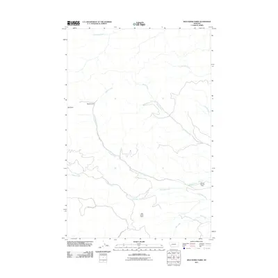
 - 2011 Map of Wild Horse Parks, 2011 Print
 2011 Wild Horse Parks2011 Print · USGSCovers Powell County, including Granite County, United States, and other nearby areas
 - 2011 Map of Bata Mountain, 2011 Print
 2011 Bata Mountain2011 Print · USGSCovers Powell County, including Missoula County, United States, and other nearby areas
 - 2011 Map of Limestone Ridge, 2011 Print
 2011 Limestone Ridge2011 Print · USGSCovers Powell County, including Granite County, United States, and other nearby areas
 - 2011 Map of Pikes Peak, 2011 Print
 2011 Pikes Peak2011 Print · USGSCovers Powell County, including Granite County, United States, and other nearby areas
 - 2011 Map of Chimney Lakes, 2011 Print
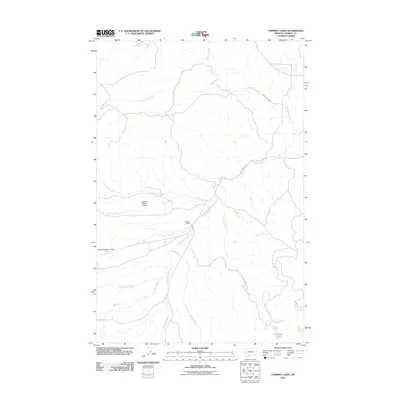 2011 Chimney Lakes2011 Print · USGSCovers Powell County, including United States, Montana, and other nearby areas
 - 2011 Map of Pozega Lakes, 2011 Print
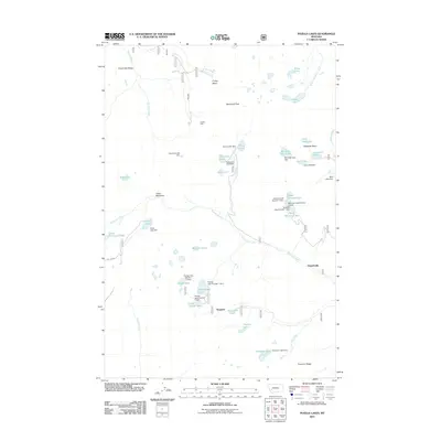 2011 Pozega Lakes2011 Print · USGSCovers Powell County, including Tungsten, Danielsville, and other nearby areas
 - 2011 Map of Browns Lake, 2011 Print
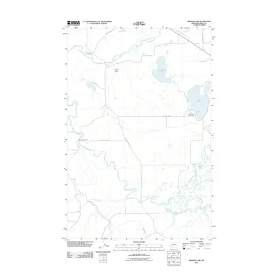 2011 Browns Lake2011 Print · USGSCovers Powell County, including United States, Montana, and other nearby areas
 - 2011 Map of Drummond, 2011 Print
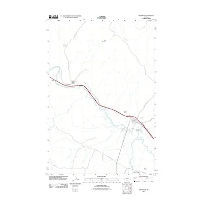 2011 Drummond2011 Print · USGSCovers Powell County, including Drummond, New Chicago, and other nearby areas
 - 2011 Map of Dunkleberg Creek, 2011 Print
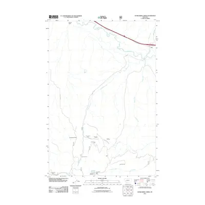 2011 Dunkleberg Creek2011 Print · USGSCovers Powell County, including Jens, Granite County, and other nearby areas
Showing maps 1-25 of 331
Top cities of Powell County
Frequently asked questions
- What are the different types of historical maps available for Powell County?
- What is the oldest map of Powell County?
- Where can I purchase historical maps of Powell County for my home or office?
- Where can I download high-res historical maps of Powell County?
- Are there historical topographic maps available for Powell County?
- Is there historical aerial imagery available for Powell County?
- Where are historical maps of Powell County sourced from?