2020s Maps of Powell County, Montana
Explore 126 historic maps of Powell County from the 2020s. These maps offer a rare glimpse into what life looked like during the 2020s — showing old roads, neighborhoods, homes, and landmarks that have changed or disappeared over time.
Whether you're researching your family's past, planning a metal detecting trip, or studying how Powell County's landscape evolved across the 2020s, these high-resolution maps are a powerful tool for exploring the history of this region.
- Focus on a specific era: All maps on this page are from the 2020s, giving you a focused view of this time period.
- See what’s changed: Compare century-old streets, trails, and buildings to today's modern landscape using overlays and satellite layers.
- Research with precision: Use these maps for genealogy, historical research, land use analysis, or educational projects.
- View, download, or print: Maps are fully viewable online in high resolution, and can be downloaded or printed for your own records.
Start exploring Powell County's history through authentic maps from the 2020s. This is your window into the past.
Powell County, MT maps
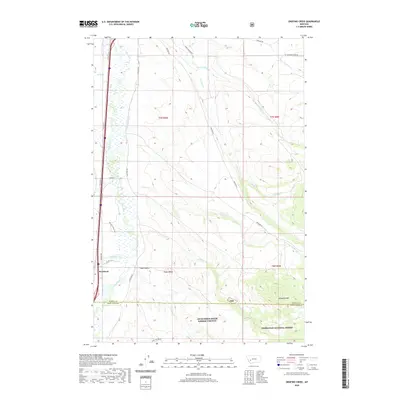
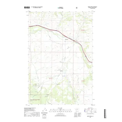
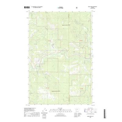
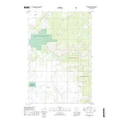
(126)- 2020 Map of Ophir Creek, 2020 Print
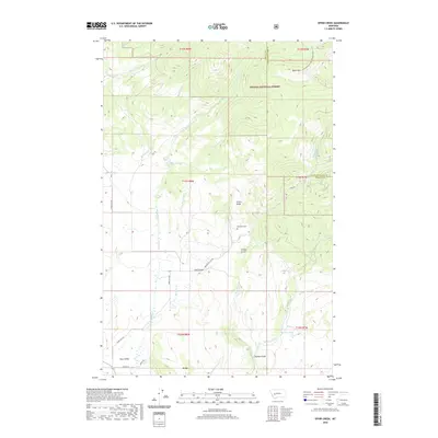 2020 Ophir Creek2020 Print · USGSCovers Powell County, including Quigley, McGillvary, and other nearby areas
 - 2020 Map of Nevada Lake, 2020 Print
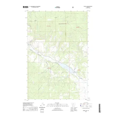 2020 Nevada Lake2020 Print · USGSCovers Powell County, including Mannix, Lewis and Clark County, and other nearby areas
 - 2020 Map of Rock Creek Lake, 2020 Print
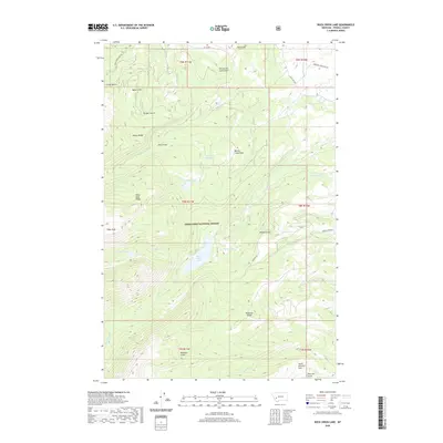 2020 Rock Creek Lake2020 Print · USGSCovers Powell County, including United States, Montana, and other nearby areas
 - 2020 Map of Conleys Lake, 2020 Print
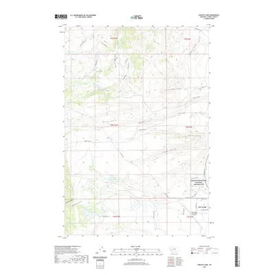 2020 Conleys Lake2020 Print · USGSCovers Powell County, including United States, Montana, and other nearby areas
 - 2020 Map of Luke Mountain, 2020 Print
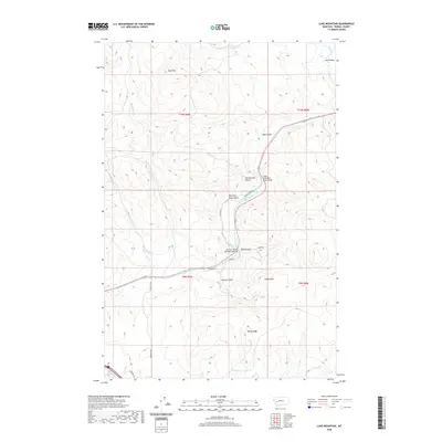 2020 Luke Mountain2020 Print · USGSCovers Powell County, including United States, Montana, and other nearby areas
 - 2020 Map of Orofino Creek, 2020 Print
 2020 Orofino Creek2020 Print · USGSCovers Powell County, including Racetrack, Deer Lodge County, and other nearby areas
 - 2020 Map of Windy Rock, 2020 Print
 2020 Windy Rock2020 Print · USGSCovers Powell County, including United States, Montana, and other nearby areas
 - 2020 Map of Esmeralda Hill, 2020 Print
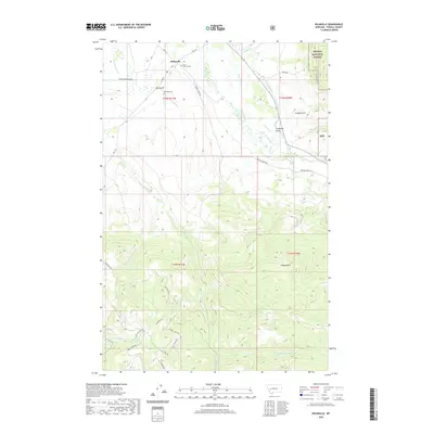
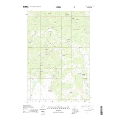 2020 Esmeralda Hill2020 Print · USGSCovers Powell County, including Lewis and Clark County, United States, and other nearby areas
 - 2020 Map of Griffin Creek, 2020 Print
 2020 Griffin Creek2020 Print · USGSCovers Powell County, including Lingenpolter, Wall City, and other nearby areas
 - 2020 Map of Bison Mountain, 2020 Print
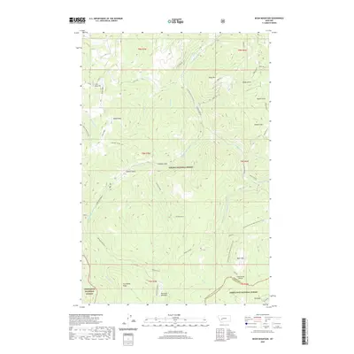 2020 Bison Mountain2020 Print · USGSCovers Powell County, including Jefferson County, United States, and other nearby areas
 - 2020 Map of Greenhorn Mountain, 2020 Print
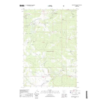 2020 Greenhorn Mountain2020 Print · USGSCovers Powell County, including Bald Butte, Blossburg, and other nearby areas
 - 2020 Map of Garrison, 2020 Print
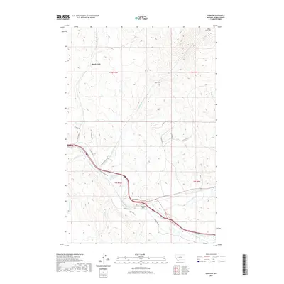 2020 Garrison2020 Print · USGSCovers Powell County, including Brock Creek, Garrison, and other nearby areas
 - 2020 Map of Moose Creek, 2020 Print
 2020 Moose Creek2020 Print · USGSCovers Powell County, including Lewis and Clark County, United States, and other nearby areas
 - 2020 Map of Avon, 2020 Print
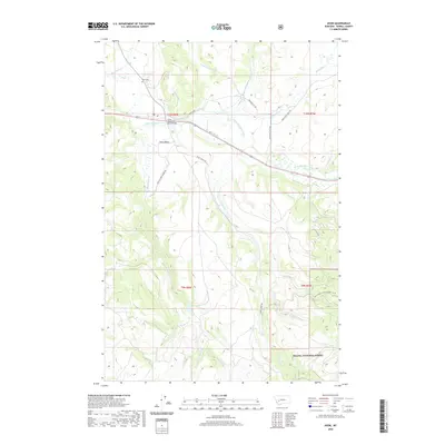 2020 Avon2020 Print · USGSCovers Powell County, including Avon, United States, and other nearby areas
 - 2020 Map of Mount Powell, 2020 Print
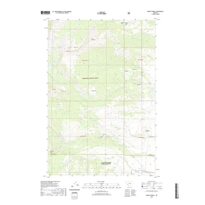 2020 Mount Powell2020 Print · USGSCovers Powell County, including Deer Lodge County, United States, and other nearby areas
 - 2020 Map of MacDonald Pass, 2020 Print
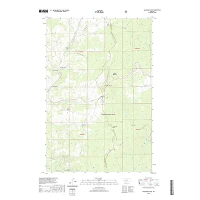 2020 MacDonald Pass2020 Print · USGSCovers Powell County, including Forest Heights, Frontier Town, and other nearby areas
 - 2020 Map of Marcum Mountain, 2020 Print
 2020 Marcum Mountain2020 Print · USGSCovers Powell County, including Coughlin, United States, and other nearby areas
 - 2020 Map of Gravely Mountain, 2020 Print
 2020 Gravely Mountain2020 Print · USGSCovers Powell County, including United States, Montana, and other nearby areas
 - 2020 Map of Elliston, 2020 Print
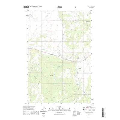 2020 Elliston2020 Print · USGSCovers Powell County, including Elliston, United States, and other nearby areas
 - 2020 Map of Nevada Mountain, 2020 Print
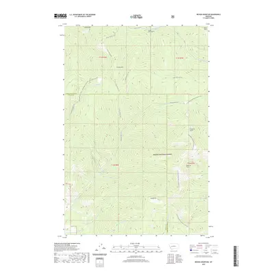 2020 Nevada Mountain2020 Print · USGSCovers Powell County, including Lewis and Clark County, United States, and other nearby areas
 - 2020 Map of Baggs Creek, 2020 Print
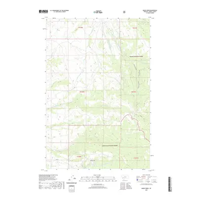 2020 Baggs Creek2020 Print · USGSCovers Powell County, including United States, Montana, and other nearby areas
 - 2020 Map of Helmville, 2020 Print
 2020 Helmville2020 Print · USGSCovers Powell County, including Helmville, United States, and other nearby areas
 - 2020 Map of Bailey Mountain, 2020 Print
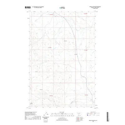
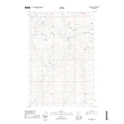 2020 Bailey Mountain2020 Print · USGSCovers Powell County, including United States, Montana, and other nearby areas
 - 2020 Map of Sugarloaf Mountain, 2020 Print
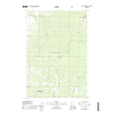 2020 Sugarloaf Mountain2020 Print · USGSCovers Powell County, including Leadville, Jefferson County, and other nearby areas
 - 2020 Map of Deer Lodge, 2020 Print
 2020 Deer Lodge2020 Print · USGSCovers Powell County, including Deer Lodge, Prison Farm, and other nearby areas
Showing maps 1-25 of 126
Top cities of Powell County
Frequently asked questions
- What are the different types of historical maps available for Powell County?
- What is the oldest map of Powell County?
- Where can I purchase historical maps of Powell County for my home or office?
- Where can I download high-res historical maps of Powell County?
- Are there historical topographic maps available for Powell County?
- Is there historical aerial imagery available for Powell County?
- Where are historical maps of Powell County sourced from?