2010s Maps of Powell County, Montana
Explore 189 historic maps of Powell County from the 2010s. These maps offer a rare glimpse into what life looked like during the 2010s — showing old roads, neighborhoods, homes, and landmarks that have changed or disappeared over time.
Whether you're researching your family's past, planning a metal detecting trip, or studying how Powell County's landscape evolved across the 2010s, these high-resolution maps are a powerful tool for exploring the history of this region.
- Focus on a specific era: All maps on this page are from the 2010s, giving you a focused view of this time period.
- See what’s changed: Compare century-old streets, trails, and buildings to today's modern landscape using overlays and satellite layers.
- Research with precision: Use these maps for genealogy, historical research, land use analysis, or educational projects.
- View, download, or print: Maps are fully viewable online in high resolution, and can be downloaded or printed for your own records.
Start exploring Powell County's history through authentic maps from the 2010s. This is your window into the past.
Powell County, MT maps
(189)- 2011 Map of Wild Horse Parks, 2011 Print
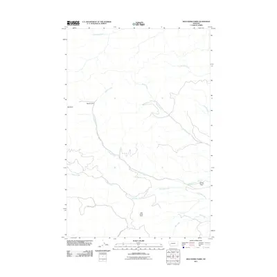 2011 Wild Horse Parks2011 Print · USGSGranite County at the start of the decade reveals a landscape of high-mountain drainages and remote forest roads. Researchers can trace the rugged paths of Douglas Creek Rd and Rattler Gulch Rd past landmarks like Manley Number 1 Dam.
 - 2011 Map of Bata Mountain, 2011 Print
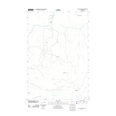 2011 Bata Mountain2011 Print · USGSMissoula County’s mountain interior is shown in detail during the early twenty-first century, highlighting a landscape of timber and mining. Researchers can locate the Elk Creek Barite Mine and trace routes along the Blackfoot River past Bear Creek Flat.
 - 2011 Map of Limestone Ridge, 2011 Print
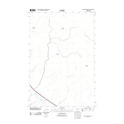 2011 Limestone Ridge2011 Print · USGSGranite County high country meets the river corridor along the Clark Fork in the early twenty-first century. Researchers can trace the legacy of mountain transit along the East Mullan Trl and follow the rugged drainages of Morris Creek and Bert Creek.
 - 2011 Map of Pikes Peak, 2011 Print
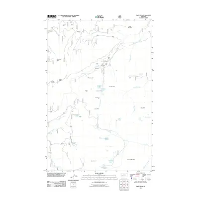 2011 Pikes Peak2011 Print · USGSGranite County at the start of the twenty-first century remains a landscape defined by its deep mining heritage and high alpine terrain. Researchers can trace historic claims and extraction sites such as the Master Mining Camp, Brooklyn Mine, and Gold Creek Placer Mine.
 - 2011 Map of Chimney Lakes, 2011 Print
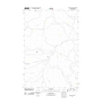 2011 Chimney Lakes2011 Print · USGSPowell County ranching and water management are front and center in the early twenty-first century as irrigation systems crisscross the valleys. Researchers can trace the layout of Manley Ranch and its nearby infrastructure, including Manley Number 3 Dam and Chimney Lakes.
 - 2011 Map of Pozega Lakes, 2011 Print
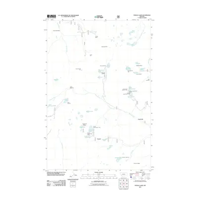 2011 Pozega Lakes2011 Print · USGSThe high Flint Creek Range comes into focus in the early 2000s, showcasing a landscape defined by mountain mining and alpine reservoirs. Trace the industrial footprint of the Powell Mine and the water systems at Lower Bowman Lake and Goat Lake.
 - 2011 Map of Browns Lake, 2011 Print
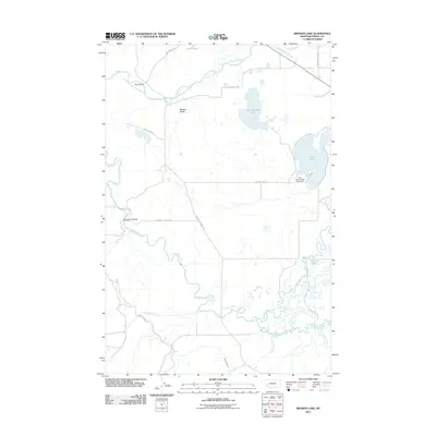 2011 Browns Lake2011 Print · USGSThe Blackfoot River valley in western Montana is shown here in the early twenty-first century, before major landscape shifts. Researchers can trace historic water management and mining via the Company Ditch and the First Chance Creek Placer Mine.
 - 2011 Map of Drummond, 2011 Print
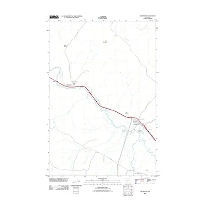 2011 Drummond2011 Print · USGSDrummond and the surrounding Granite County river valleys are shown in detail during the early twenty-first century. Researchers can trace local landmarks like the Drummond Post Office, the community of New Chicago, and the grounds of the Valley Cemetery.
 - 2011 Map of Dunkleberg Creek, 2011 Print
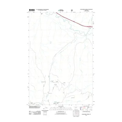 2011 Dunkleberg Creek2011 Print · USGSThe community of Jens and the winding Clark Fork appear here during the early 2000s Montana mining and ranching era. Local historians can trace extraction sites like the Forest Rose Mine and the Jackson Park Mine or locate the Douglas Creek Cabin.
 - 2011 Map of Elevation Mountain, 2011 Print
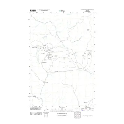 2011 Elevation Mountain2011 Print · USGSThe Garnet Range was a center of intensive mineral extraction in the mountains of western Montana. Genealogists and historians can trace dozens of specific claims like the Nancy Hanks Mine and Shamrock Mine, alongside early settlements like Beartown.
 - 2011 Map of Olson Peak, 2011 Print
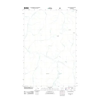 2011 Olson Peak2011 Print · USGSMontana's high backcountry in Lewis and Clark County is documented here at the start of the decade, showing a landscape defined by water and rock. Researchers can trace the headwaters of the North Fork Blackfoot River and locate remote landmarks like Twin Lakes and Galusha Peak.
 - 2011 Map of MacDonald Pass, 2011 Print
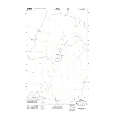 2011 MacDonald Pass2011 Print · USGSThe high passes of the Boulder Mountains are captured here in the early twenty-first century, detailing the rugged crossings between Lewis and Clark and Powell counties. Researchers can locate the historic Third Term Mine or trace the routes to Frontier Town and the Cromwell Dixon Campground.
 - 2011 Map of Griffin Creek, 2011 Print
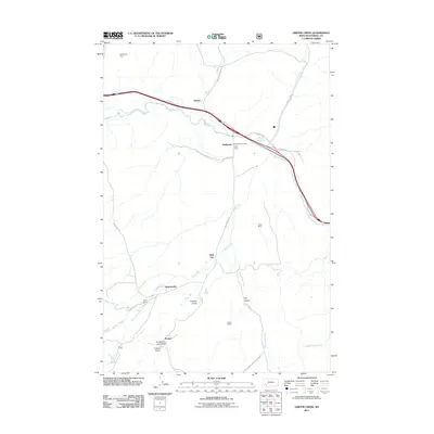 2011 Griffin Creek2011 Print · USGSPowell County in the early twenty-first century reveals a landscape where modern frontage roads cross paths with the historic Mullan Trl. Researchers can trace old mining interests and small settlements like the Grant Mine, Wall City, and Lingenpolter.
 - 2011 Map of Bailey Mountain, 2011 Print
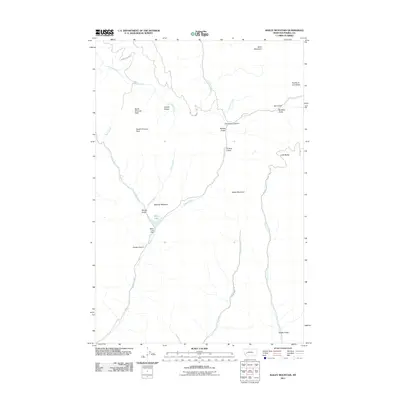 2011 Bailey Mountain2011 Print · USGSPowell County in the early twenty-first century reveals a landscape of high peaks and isolated gulches within the Montana wilderness. Researchers can trace remote routes like Carten Creek Rd to find landmarks such as Miller Lake Dam, Little Baldy, and Devil Mountain.
 - 2011 Map of Ophir Creek, 2011 Print
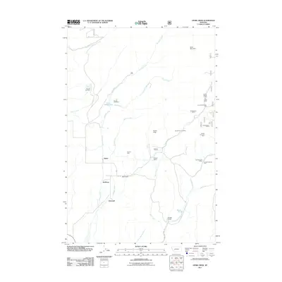 2011 Ophir Creek2011 Print · USGSThe mining drainages of Powell County are documented here in the early twenty-first century, showing a landscape of scattered mountain settlements and prospects. Researchers can locate the Blackfoot Cemetery and trace historical activity at the Victory Mine, Quigley, and Lost Cabin.
 - 2011 Map of Windy Rock, 2011 Print
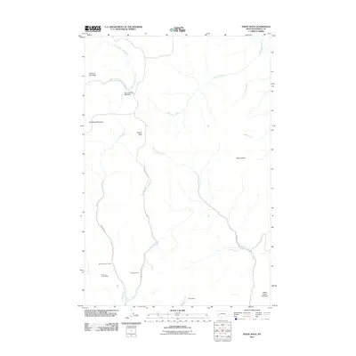 2011 Windy Rock2011 Print · USGSPowell County's mining and mountain terrain is detailed in this 2011 survey, showing the area shortly after the turn of the millennium. Researchers can locate specific sites like the Silver La Donna Mine, Anderson Mine, and Old Baldy Mountain.
 - 2011 Map of Marcum Mountain, 2011 Print
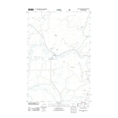 2011 Marcum Mountain2011 Print · USGSMining operations and mountain ranches characterize this Powell County landscape in the early twenty-first century. Researchers can trace the legacy of local industry through named sites like the Nevada Mine, Steeles Dude Ranch, and the North Helmville Canal.
 - 2011 Map of Orofino Creek, 2011 Print
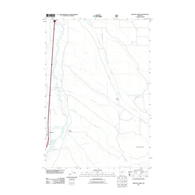 2011 Orofino Creek2011 Print · USGSPowell County ranchlands and river valleys are captured here in the early 2010s. Local researchers can trace water rights and historical land use through features like Vallon Ditch, the NE NE Section 1 Mine, and the community of Racetrack.
 - 2011 Map of Nevada Lake, 2011 Print
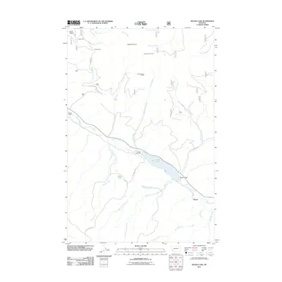 2011 Nevada Lake2011 Print · USGSThe Nevada Creek valley near Mannix is captured here in the early twenty-first century, showcasing a landscape shaped by mining and water management. Genealogists and researchers can locate the Higgins Mine, trace Nevada Ogden Rd, and see the footprint of the Nevada Creek Dam.
 - 2011 Map of Thunderbolt Creek, 2011 Print
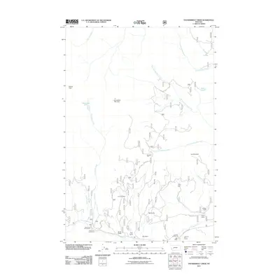 2011 Thunderbolt Creek2011 Print · USGSJefferson County’s high-altitude mining and recreation landscape is documented here in the early twenty-first century. Researchers can trace the proximity of old operations like the Saratoga Mine and Torpy Gulch Mine to natural landmarks such as Berkin Flat.
 - 2011 Map of Elliston, 2011 Print
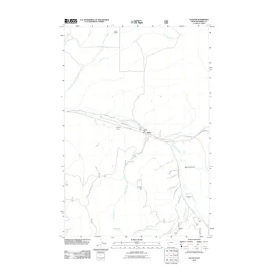 2011 Elliston2011 Print · USGSThe Powell County high country comes into focus in the early twenty-first century, centered on the settlement of Elliston. Genealogists and historians can trace local landmarks like Cemetery Rd, the Carbonate King Mine, and the historic Old Mullan Trl through the valley.
 - 2011 Map of Conleys Lake, 2011 Print
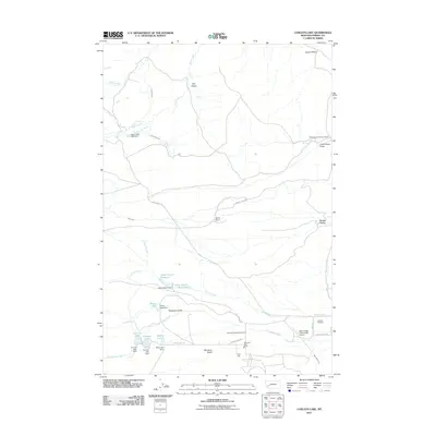 2011 Conleys Lake2011 Print · USGSPowell County ranching and institutional lands are captured here in the early twenty-first century as the landscape transitions from the Deer Lodge valley into the surrounding uplands. Local historians can trace the infrastructure of the Montana State Prison and rural landmarks like the Williams and Tavenner Ranch or Hillcrest Cemetery.
 - 2011 Map of Esmeralda Hill, 2011 Print
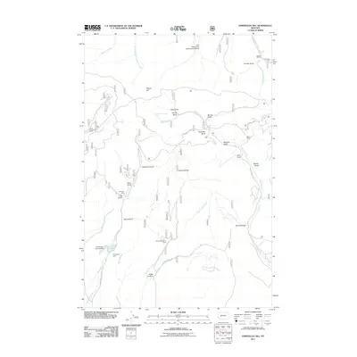 2011 Esmeralda Hill2011 Print · USGSLewis and Clark County's rugged mining and ranching interior is captured here as it appeared in the early twenty-first century. Researchers can trace the legacy of resource extraction at the Earthquake Mine, find the Jerusha Millsite, and locate the Betor Ranch.
 - 2011 Map of Gravely Mountain, 2011 Print
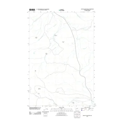 2011 Gravely Mountain2011 Print · USGSPowell County's mining and water management infrastructure is on display here during the early twenty-first century. Genealogists and historians can trace the geography of local industry through the Gravely Mine, Gimlet Mine, and the various Dupont dams.
 - 2011 Map of Nevada Mountain, 2011 Print
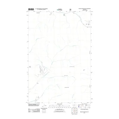 2011 Nevada Mountain2011 Print · USGSMining claims and alpine drainages dominate the terrain of Lewis and Clark County in the early twenty-first century. Researchers can trace historic operations and land use through labels like the Highland Mine, Middle Fork Millsite, and Shingle Mill Creek.
Showing maps 1-25 of 189
Top cities of Powell County
Frequently asked questions
- What are the different types of historical maps available for Powell County?
- What is the oldest map of Powell County?
- Where can I purchase historical maps of Powell County for my home or office?
- Where can I download high-res historical maps of Powell County?
- Are there historical topographic maps available for Powell County?
- Is there historical aerial imagery available for Powell County?
- Where are historical maps of Powell County sourced from?